Pros & cons
PROS
- Designated lakeside camps at both Lower and Upper Crystal Lake
- Easy add‑on to Sourdough Gap for wide panoramas without complex navigation
CONS
- Lingering snow above Lower Lake early season can slow progress
- Exposed sections run hot and dusty in mid‑summer afternoons
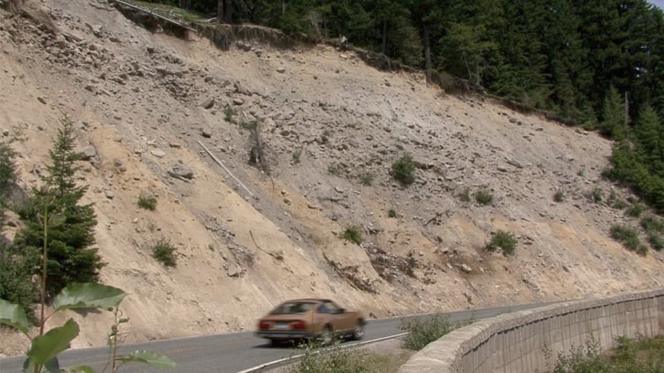
Highway shoulder parking on SR 410 near Crystal Creek; signed trailhead on the east side of the road.
Steep, sustained 2,300 ft climb with many switchbacks; early‑season snow above Lower Lake; fragile meadows—stay on trail; rustic log bridge can be slick; filter lake water; no pets.
Overview
If you like your lake hikes earned, this one delivers. Crystal Lakes Trail climbs hard and fast from SR 410 to Lower and Upper Crystal Lake. It’s about 6.0 miles round trip to Upper Crystal Lake with roughly 2,300 feet of elevation gain, and most hikers take 3–5 hours depending on pace and photo stops. Expect a well‑built singletrack with roots and rocks that wastes no time gaining altitude.
On the trail
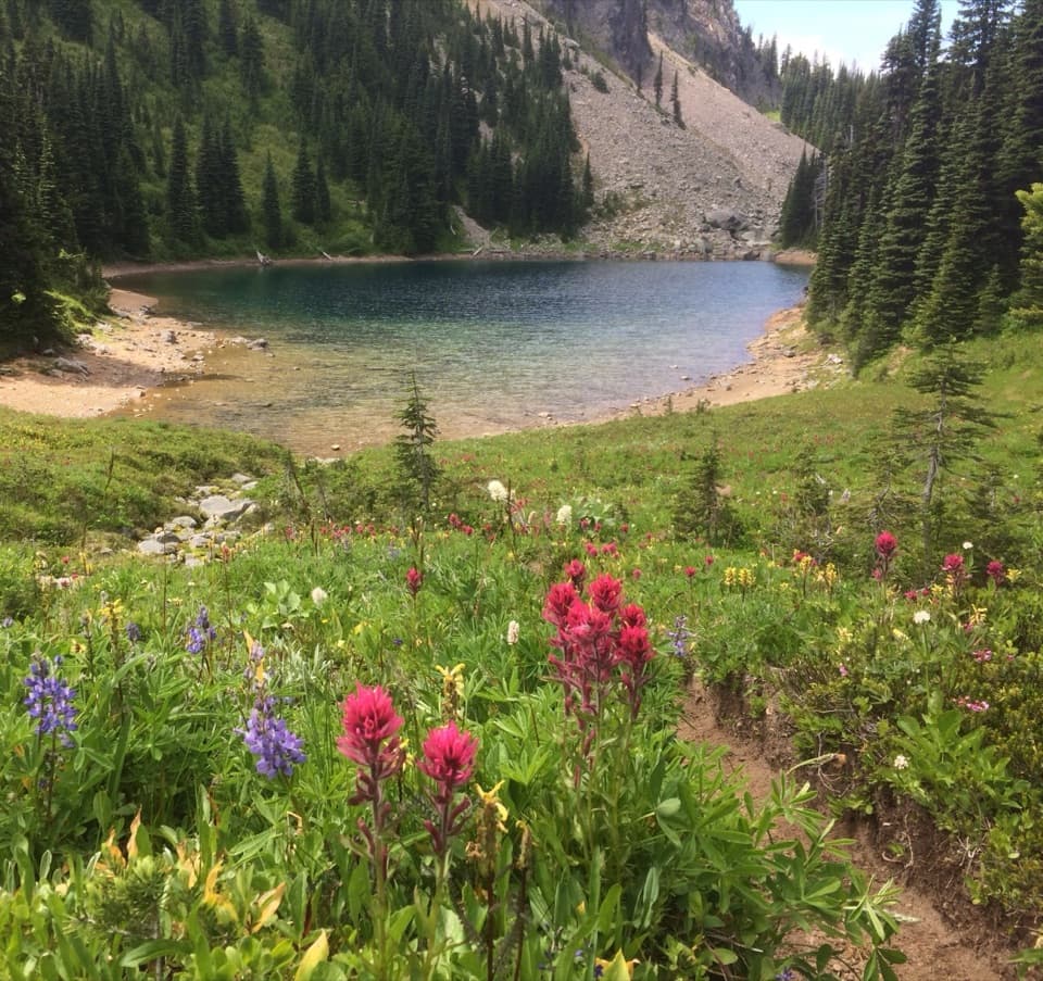
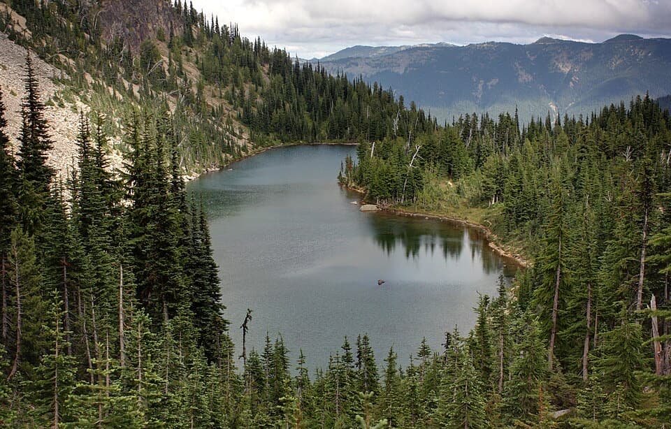
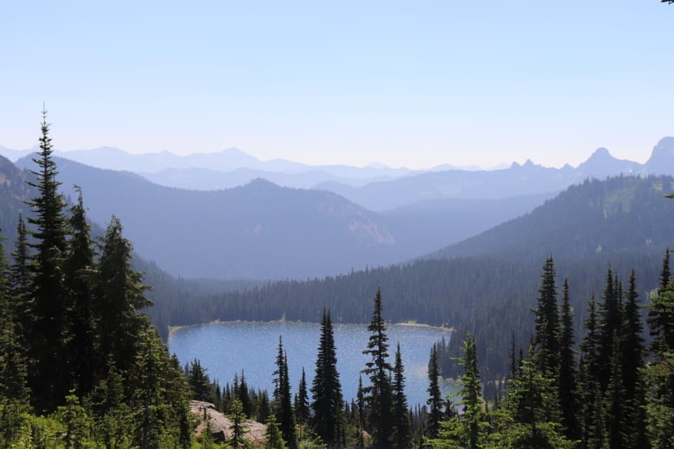
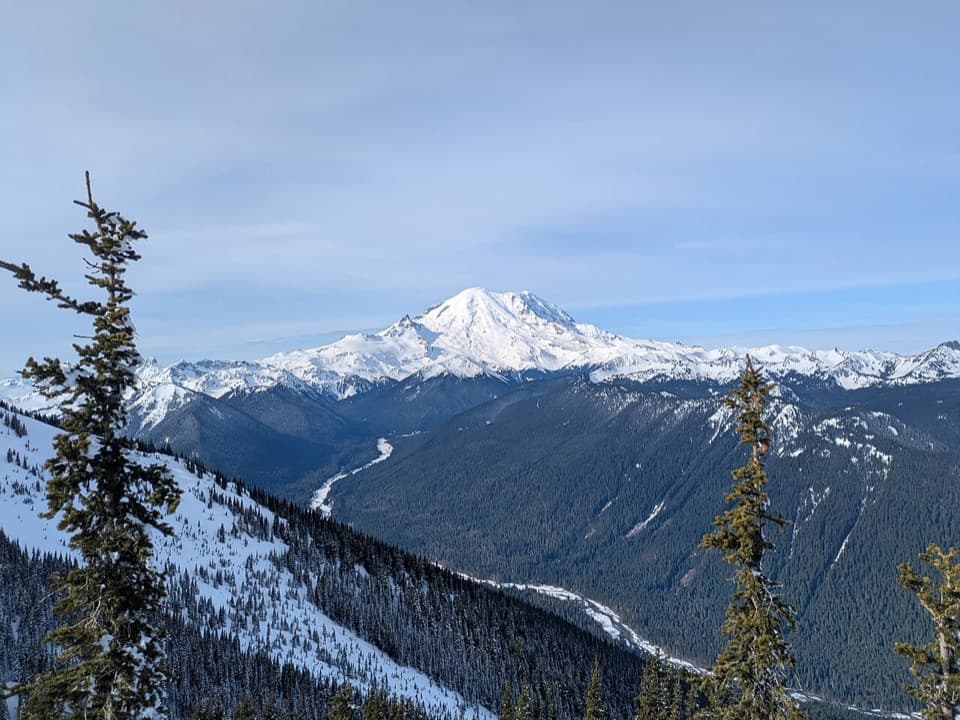
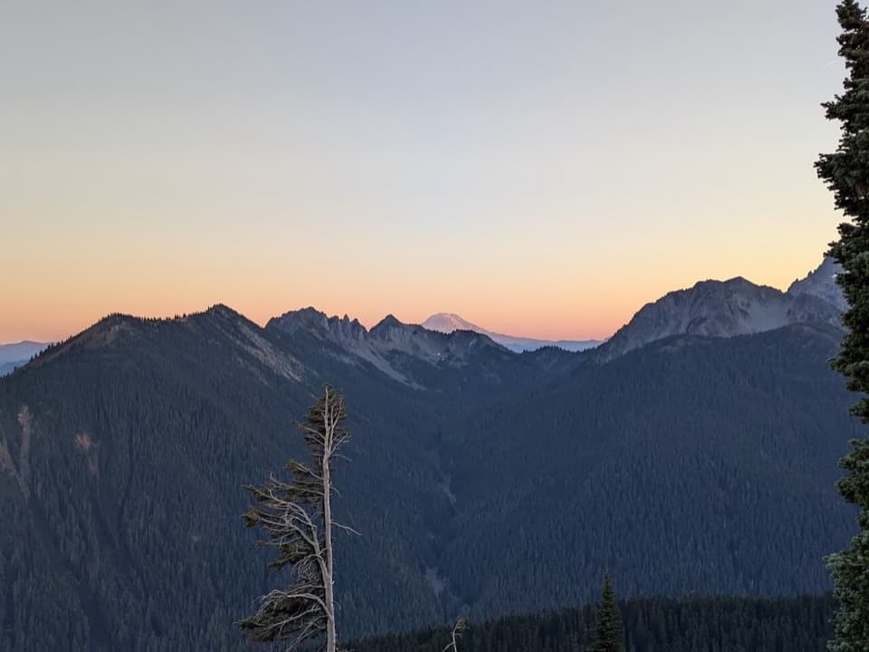
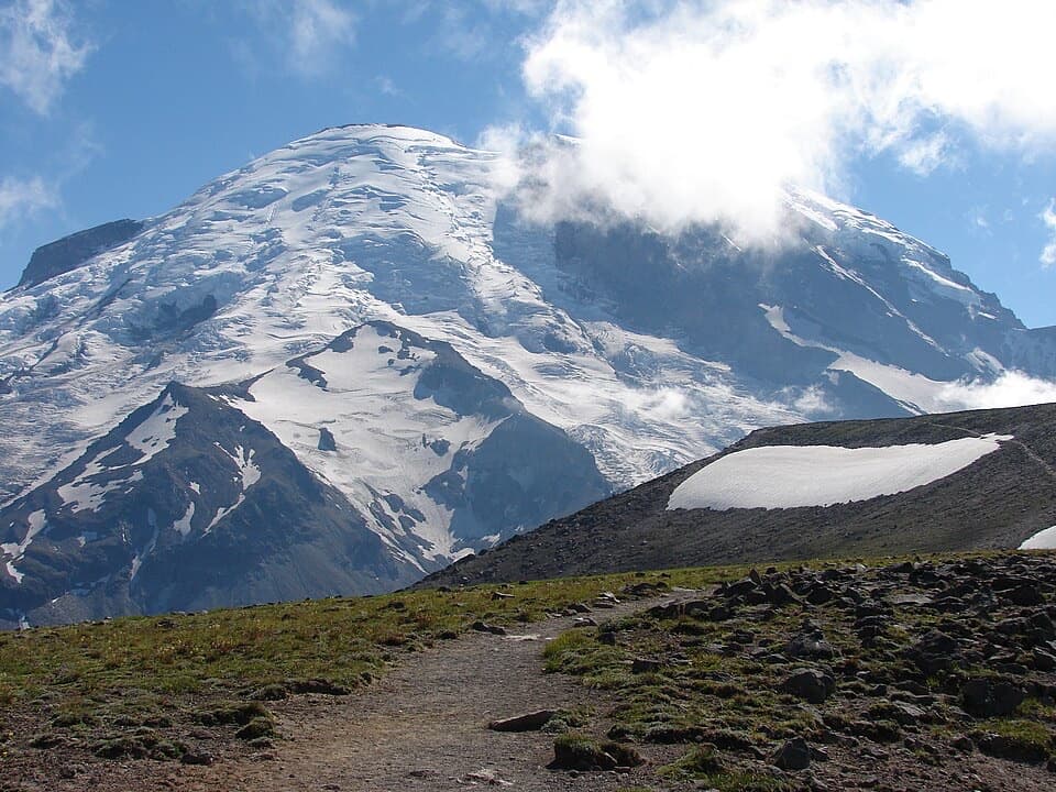
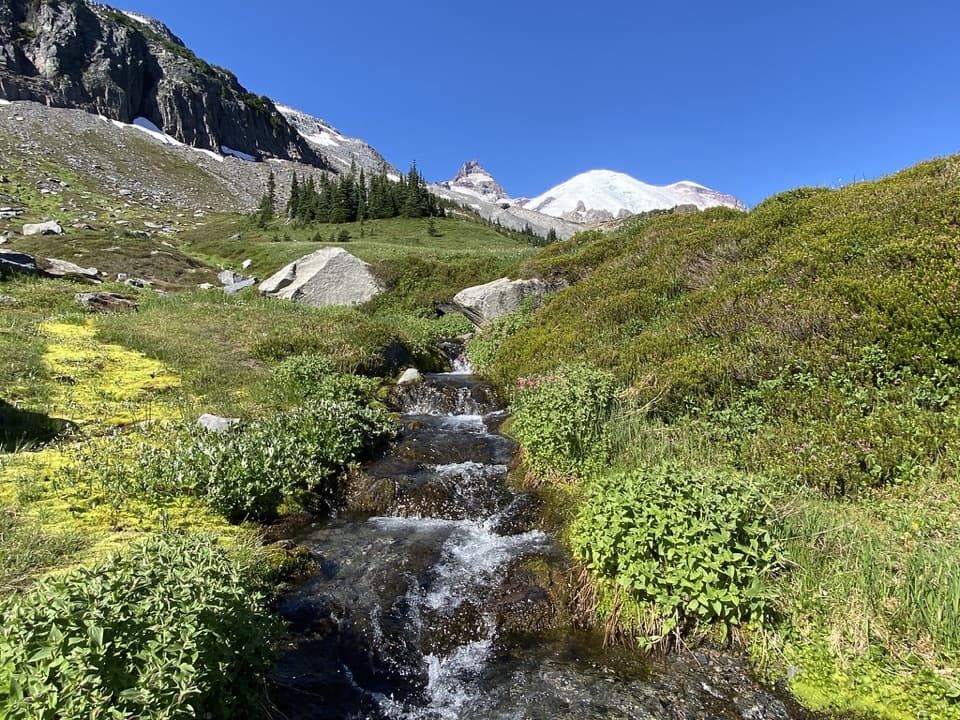
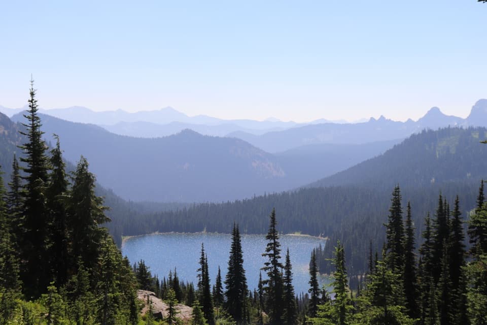
Right out of the gate, cross Crystal Creek on a rustic log bridge, then settle into sustained switchbacks through cool subalpine forest. Around 1.3 miles, you’ll hit the Crystal Peak junction—this is where the trees open just enough for one of the hike’s best Mount Rainier views, especially in the morning light. Continue through heather meadows that explode with wildflowers in late July and early August. Lower Crystal Lake arrives at about 2.3 miles, tucked in by trees; it’s another ~0.7 mile to Upper Crystal Lake in a broader alpine basin with bigger surrounding-peak views. Keep your eyes peeled for elk and mountain goats on adjacent slopes.
Extensions and variations
From Upper Crystal Lake, a mile farther up gets you to Sourdough Gap for wide‑open vistas back to Rainier and into neighboring valleys. Feeling ambitious? From the earlier junction, a strenuous, exposed side trip climbs to Crystal Peak (former lookout site) for summit‑level panoramas—save that for early starts and stable weather.
Best time to hike
June through September is the sweet spot. Early season can hold lingering snow—especially above Lower Crystal Lake—while mid‑summer afternoons run hot and dusty on the exposed stretches. For cooler temps, fewer people, and better photography, start early. Wildflowers typically peak in late July to early August.
Logistics and tips
Parking is along the shoulder of SR 410 near Crystal Creek; the signed trailhead sits on the east side of the road. No pets are allowed on park trails. Day hikers don’t need a permit, but there are designated wilderness camps at both lakes for backpackers (permits required). Filter all lake water. Stay on the tread—those meadows are fragile and quick to scar.
Worth it?
Yes—this is a classic, moderately strenuous lake hike with big payoff: two alpine basins, consistent views, summer wildflowers, and easy add‑ons if you’ve got extra legs.
Elevation
6 mi · 4 hrWhere it starts
46.9225, -121.5336Wildlife on this trail
Near Crystal Lakes Trail
All places →All trails →
0 mi awayCrystal Peak TrailSteep climb to a quiet summit with six volcano panoramic viewsChallenging · 8 mi · 5.4 hr
1.3 mi awayCrystal PeakSteep climb to a summit with huge Rainier and volcano viewsScenic Viewpoint
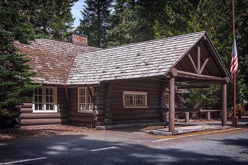
1.7 mi awayWhite River Entrance StationGateway to Sunrise with permits and a restroom at the gateEntrance Station · Visitor Center
1.7 mi awayCrystal LakeTwin alpine lakes reached by a steep, rewarding climbTrailhead · Campground
1.7 mi awayWhite River Wilderness Information CenterPermit hub and ranger stop at the gateway to Sunrise and backcountryRanger Station · Visitor Center
2.6 mi awaySunrise Lake TrailQuick drop from Sunrise Point to a quiet, blue subalpine lakeEasy · 1 mi · 1 hr
3.6 mi awayNaches Peak LoopShort, wildflower loop with front-row Rainier views from Chinook PassEasy · 3.4 mi · 2 hr
3.8 mi awayTipsoo Lake LoopA 0.7-mile lakeside stroll with big alpine views for minimal effort.Easy · 0.7 mi · 13 min