
Place · 0.6 mi away
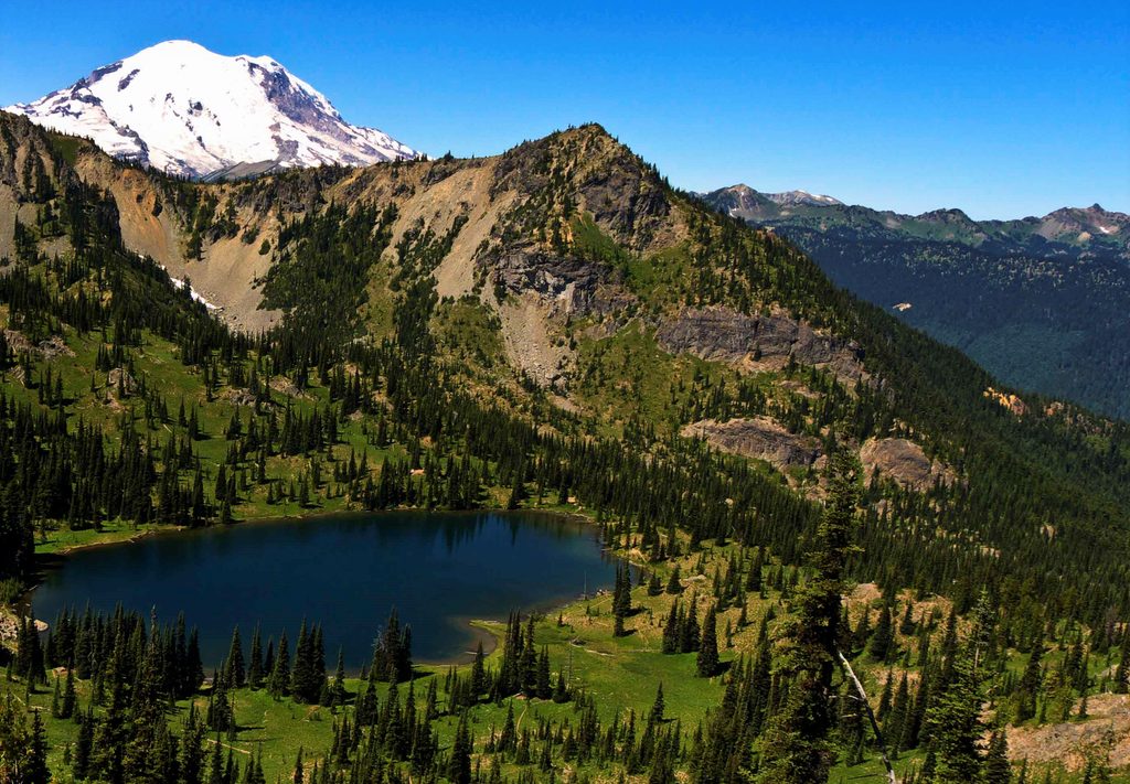
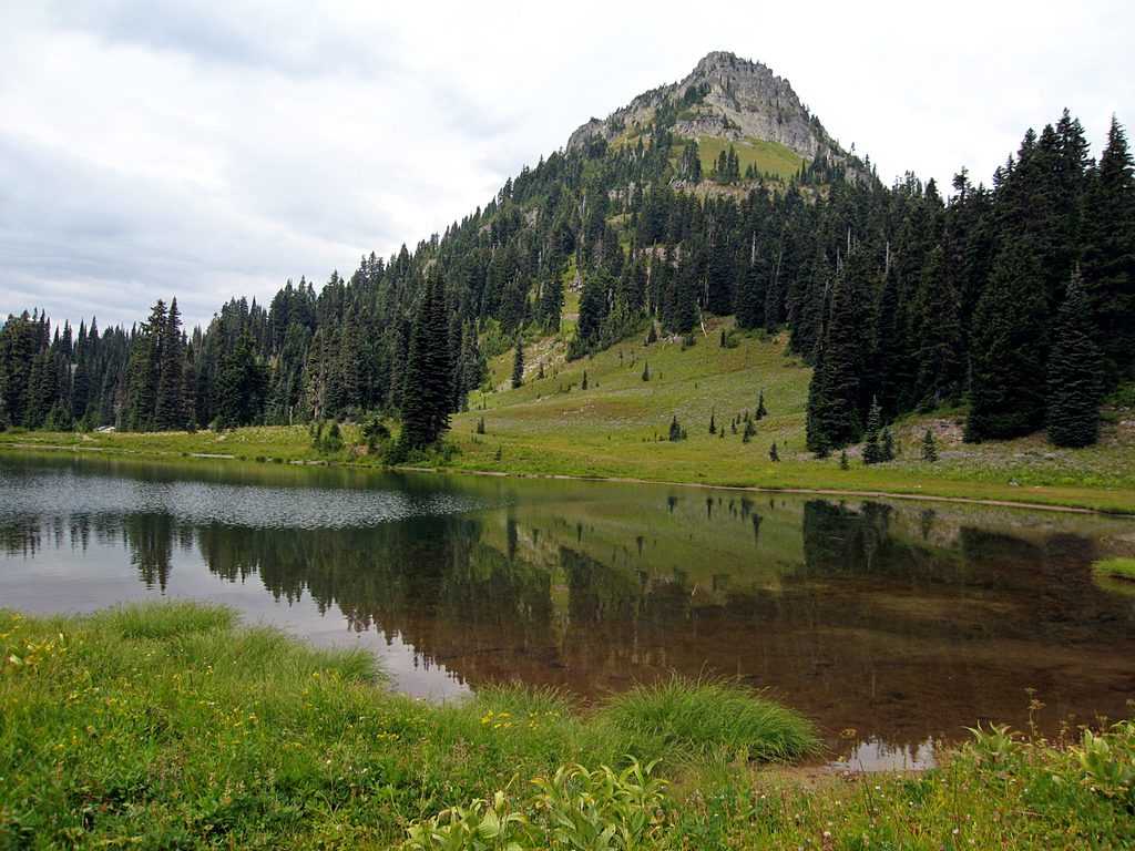
Crystal Peak tops out around 6,595 feet on the park’s east side above the Crystal Lakes basin. It’s a classic “earn-your-views” summit: a stout ascent that pays off with a sweeping panorama of Mount Rainier and distant Cascade volcanoes.
Expect about 7.7–8 miles round trip and roughly 3,100 feet of gain. The route branches from the Crystal Lakes Trail along SR 410 (about 4 miles north of Cayuse Pass). You’ll immediately cross a stream, then grind through shaded switchbacks in second-growth forest before breaking into talus and open meadows. The final push is exposed and feels hotter and drier—pace your water and take your time on the loose bits.
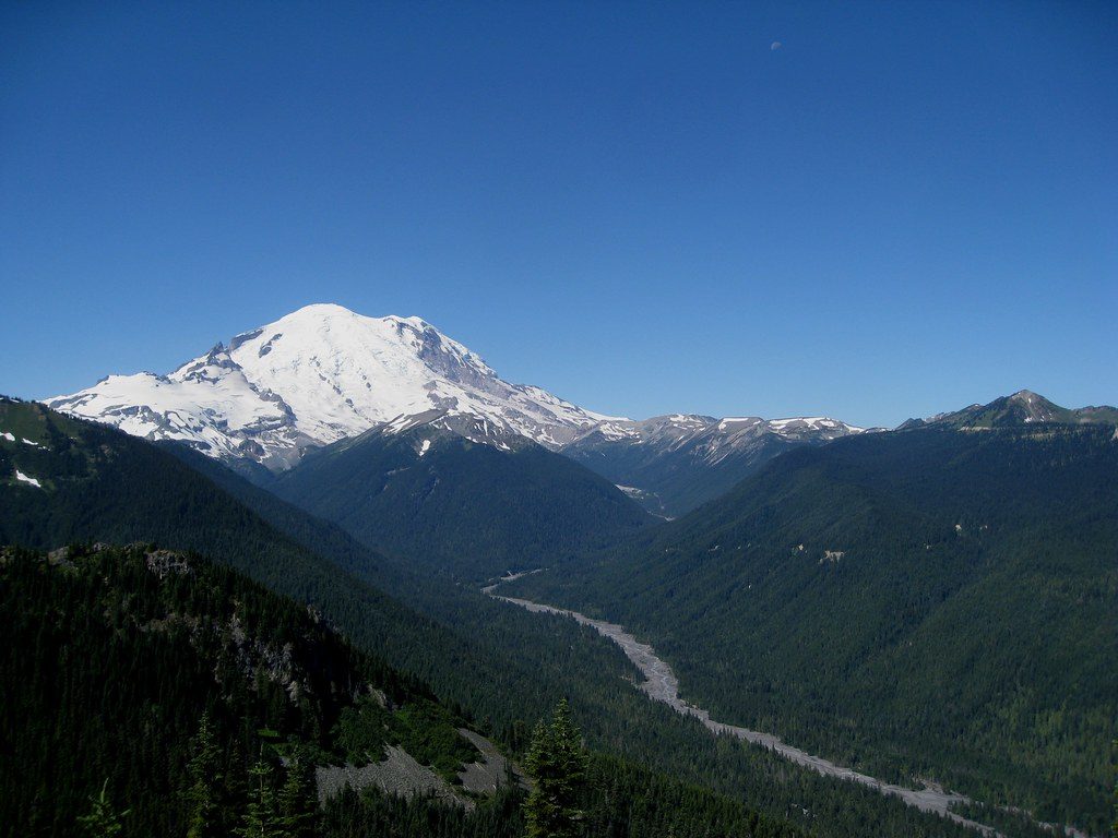
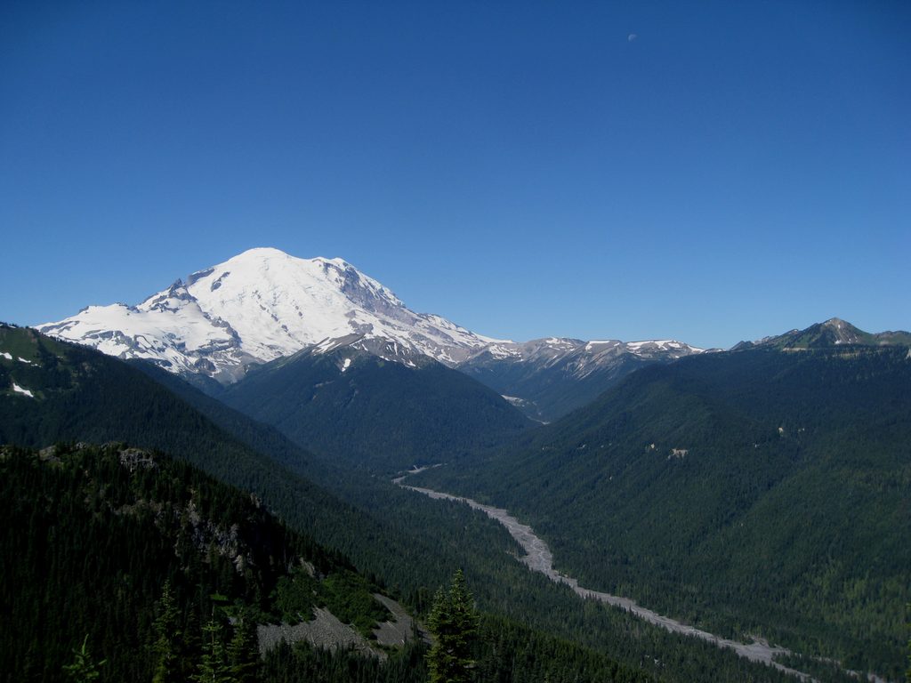
On clear days, the summit delivers the money shot: Mount Rainier front and center, plus far-ranging views that can include Baker, Glacier, Adams, St. Helens, and even Hood. You’ll also peer down into the White River valley and across nearby ridges, with Crystal Lakes tucked just below.
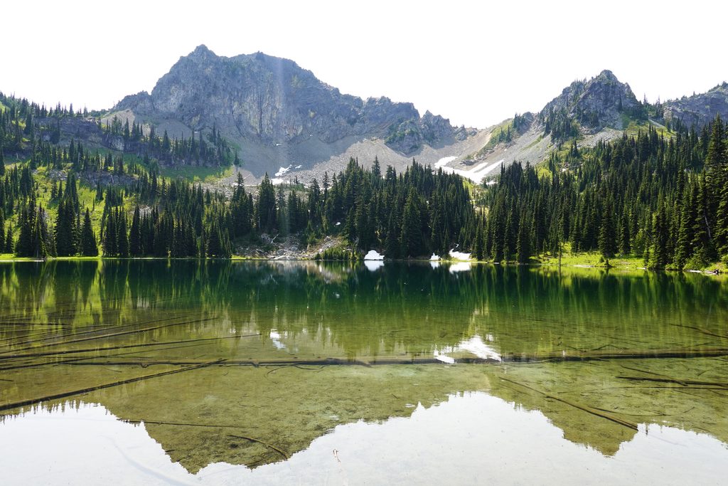
Late July through early August, subalpine meadows burst with blooms. Keep an eye out for elk and mountain goats grazing the surrounding slopes in summer and early fall, along with the usual small mammals and birds that thrive in this mixed forest–meadow zone.
Crystal Peak once hosted a fire lookout—long gone now—but the concrete remnants and that commanding perch hint at why it was chosen. The vantage is still one of the area’s best.
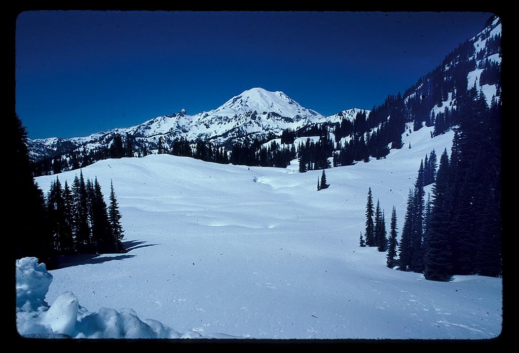
Summer is prime. For cooler temps and quieter trail time, start early or go on weekdays. The lower half often stays shaded in the morning; the upper switchbacks are fully exposed. Wildflowers peak in late summer. This is not a winter outing—snow and avalanche hazard are common when storms roll in.
There’s no reliable water beyond the initial creek crossing, and no services—come self-sufficient. The junction to Crystal Peak can feel counterintuitive; a right turn that briefly descends leads to the final climb. Stay on the path through fragile meadows and practice Leave No Trace.
Place · 0.6 mi away
Place · 1.2 mi away
Place · 1.7 mi away
Place · 1.7 mi away
Challenging · 1.3 mi away
Challenging · 1.3 mi away
Easy · 2.4 mi away
Easy · 2.6 mi away

Parkwolf Tour Guide
