
Place · 0.9 mi away
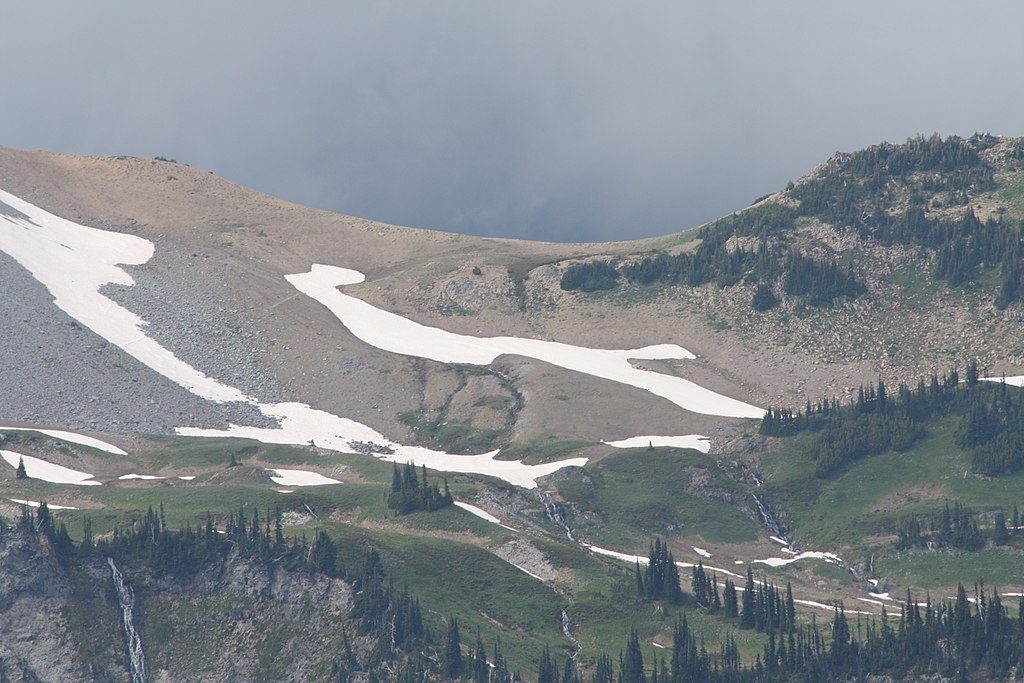
Panhandle Gap is a dramatic, high-alpine pass on the Wonderland Trail, topping out around 6,800 feet. It’s the route’s highest point and a favorite waypoint for day hikers and backpackers chasing wide-open views and that stark, glacially carved landscape feel.
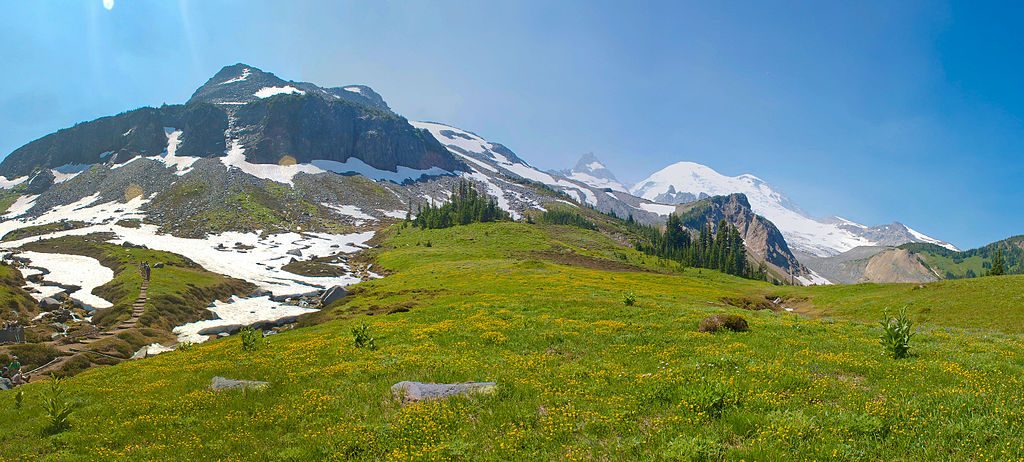
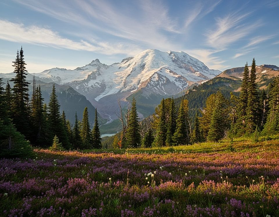
Start in cool forest and climb through Summerland’s lush subalpine meadows—prime for wildflowers in early to mid-summer—before breaking above treeline into a rocky, almost lunar world near the pass. From the Gap, you get sweeping looks at Mount Rainier and Little Tahoma, along with surrounding glaciers and ridgelines, including Fryingpan Glacier and a vantage toward Sarvant Glacier. Along the way, you’ll cross Fryingpan Creek on a sturdy footbridge and pass scenic cascades.
This is a popular corridor of the Wonderland Trail used by both backpackers and day hikers. The final approach to the Gap is exposed and can hold snow well into the season, making the last stretch feel steep and slippery. Expect a strenuous outing with a real alpine pass vibe up top.
Keep an eye out in the meadows and open slopes for marmots and mountain goats, and know that black bears are occasionally seen in this area. You may also hear pikas and spot small alpine birds working the meadows below the pass.
July through October is the sweet spot, once the bulk of the snow has melted. To dodge crowds and secure a parking spot at Fryingpan Creek, arrive early—especially on summer weekends. Wildflowers peak in early to mid-summer; clearer skies and more stable footing often come later in the season.
There are no developed facilities at the Gap—no water stations, restrooms, or picnic tables. If you’re backpacking, camping is at designated sites like Summerland by permit only. Snow can obscure the route early season, so bring navigation, and plan for rapid weather changes at elevation. Natural water sources are available along the approach, but always treat before drinking.
Place · 0.9 mi away
Place · 2 mi away
Place · 2.6 mi away
Place · 2.8 mi away
Moderate · 2.8 mi away
Easy · 3.2 mi away
Moderate · 3.3 mi away
Easy · 4.1 mi away

Parkwolf Tour Guide
