Parking
From White River Entrance Station, continue about five miles to White River Campground and use the hiker/climber day-use parking area at the upper end. Do not park in a campsite. The park entrance fee applies.

Mount Rainier National Park, WA
A former mining road climbs to a glacier-carved basin.
Overview
Glacier Basin Trail is a 7-mile out-and-back from White River Campground into a high basin beneath Mount Rainier’s glaciers. Plan on about five hours and roughly 1,600 feet of climbing. The approach is long and mostly gradual before a steeper finish, so this is a good half-day choice if you want a real climb and an alpine destination rather than a quick viewpoint. Published round-trip distances run from 6.5 to 7 miles; budgeting for 7 gives you room for stops.
 Parkwolf’s verdictIs this the hike for you?
Map & elevation
Plan your hike

The highest, rockiest slopes around here are a summer buffet for grizzly bears.
Mount Rainier Tour Guide
Parkwolf is a GPS audio tour guide for Mount Rainier National Park. As you drive, it chimes in with what’s ahead: hidden gems, upcoming stops, history, geology, and wildlife, right through your car’s speakers.
See the Mount Rainier audio tourRecorded for this trailhead
White River: The Campground and Patrol Cabin“White River Campground is ahead, a forested base beside the river below Sunrise. For a day visit, there's a separate picnic area, and the historic patrol cabin in Loop D is worth a short look.”
Plays as you drive up to this trailhead in the Parkwolf Mount Rainier Tour Guide.
More stories near here in the app
“Fantastic app with many points of information… It’s great to just turn on while you’re driving and it gives you an audio tour of the national Park. We love it!!!!”


Trail guide
Start at the upper end of White River Campground and follow the old mining-road corridor west beside the Inter Fork. The river valley and forest keep the first stretch company while the trail gains height. After about a mile, a signed junction leads to the Emmons Moraine viewpoint; the spur adds one mile round trip. Back on the main trail, continue past the Burroughs Mountain junction. The grade gets steeper near Glacier Basin Camp, where the forest thins and the high basin begins to open. The ordinary day hike turns back here, before the climber’s track pushes toward Inter Glacier.
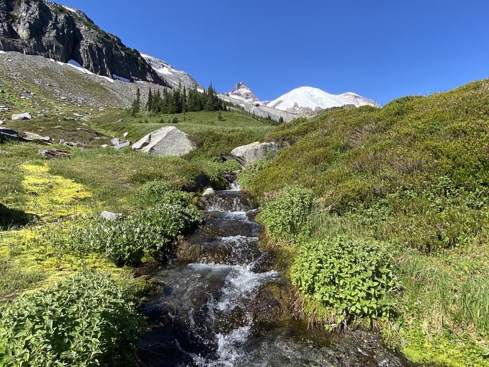
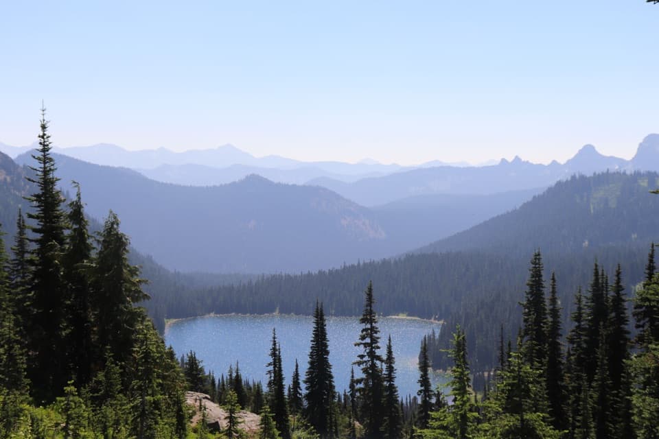
The Emmons Moraine spur is the best short addition to the hike: it climbs to a view over Emmons Glacier and a pale glacial lake. The main trail’s payoff is different. The open basin has a tarn and meadow, with The Wedge and Mount Ruth rising behind it. Pause to scan the surrounding slopes for mountain goats. For a photo, keep the tarn in the foreground with the peaks behind it; at the moraine, include the lake below the glacier so the depth reads.
Copper was sought here in the late 1800s, but the ore proved commercially worthless. The old mining road later became a walking trail. Glacier-fed floods damaged the route in 2006 as the White River shifted across the valley, so the park and trail volunteers built a new alignment, including 6,500 feet of trail completed in 2011. That history explains why the walk feels like a steady valley approach before it turns toward the basin.
Use the hiker and climber day-use parking area at the upper end of White River Campground; do not park in a campsite. The park entrance fee applies. Treat stream water before drinking. Pets and bicycles are prohibited on park trails. Overnight campers at Glacier Basin need a wilderness permit; that permit is for camping, not the day hike. Stay on the route around the basin: the continuation beyond camp crosses fragile wetland and becomes a climber’s approach toward Inter Glacier.
Wildlife
 466 sightingsMountain GoatMost seen around 6 AMSighting map
 383 sightingsBlack BearMost seen around 7 PMSighting map
 10 sightingsWolverineMost seen around 6 AMSighting map
 58 sightingsElkMost seen around 6 AMSighting map
 574 sightingsMule DeerMost seen around 6 AMSighting map
 1,853 sightingsHoary MarmotMost seen around 6 AMSighting map
Sighting maps show where each species has been reported across Mount Rainier. Wildlife moves, so no sighting is guaranteed.
Keep exploring
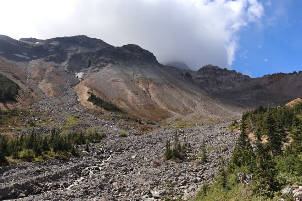 ChallengingGlacier Basin–Burroughs Loop11.5 mi · 8 hr · At the trailheadA hard loop from glacier basin to open, high alpine tundra.
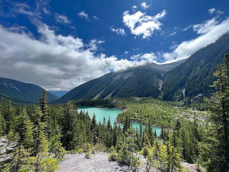 ModerateEmmons Moraine Trail3 mi · 2 hr · 0.1 mi awayA 3-mile out-and-back with a rocky spur to glacier and lake views.
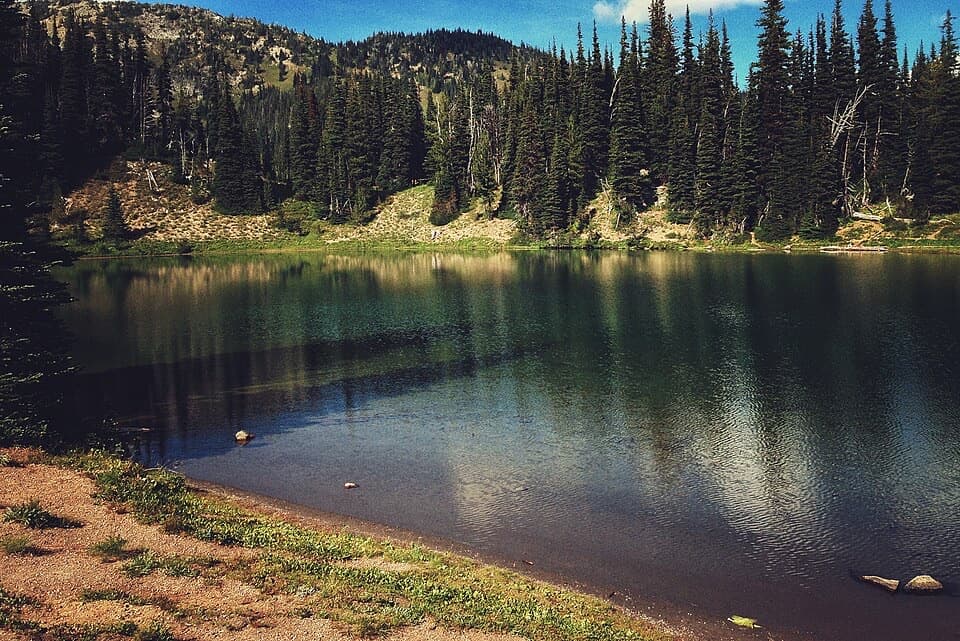 EasyShadow Lake Loop3 mi · 1.5 hr · 0.8 mi awayA short high-country loop reaches Shadow Lake through colorful meadows.
 EasySilver Forest Trail1.9 mi · 1.3 hr · 0.8 mi awayTwo overlooks frame Rainier and Emmons Glacier above open meadows.
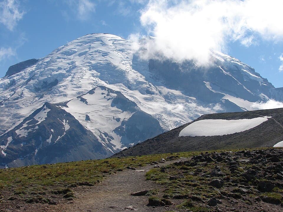 ModerateBurroughs Mountain Trail6.2 mi · 4.5 hr · 0.9 mi awayA high ridge walk puts Rainier and its glaciers front and center.
 ModerateSunrise Rim Trail Loop to First Burroughs4.7 mi · 3 hr · 0.9 mi awayHigh loop to First Burroughs, with Shadow Lake and Emmons Glacier.
 ModerateSourdough Ridge Trail West to Frozen Lake3 mi · 2 hr · 0.9 mi awayA short ridge walk with big Rainier views and a lake turnaround.
 ModerateMount Fremont Lookout Trail5.6 mi · 3.5 hr · 0.9 mi awayA rocky ridge climb to Rainier’s 1934 fire lookout.
 Sight · At the trailheadWhite River Patrol CabinA 500-foot walk to the White River area's oldest cabin.
 Picnic area · 0.1 mi awayWhite River Picnic AreaA wooded meal stop with eight grills and nearby trail access.
 Campground · 0.1 mi awayWhite River CampgroundSunrise-area hikes start right from this wooded riverside camp.
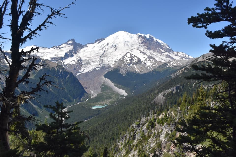 Sight · 0.7 mi awayEmmons Vista OverlooksA short meadow walk to Rainier’s biggest glacier.
 Visitor center · 0.9 mi awaySunrise Visitor CenterA historic alpine trail hub with glacier exhibits and Rainier views.
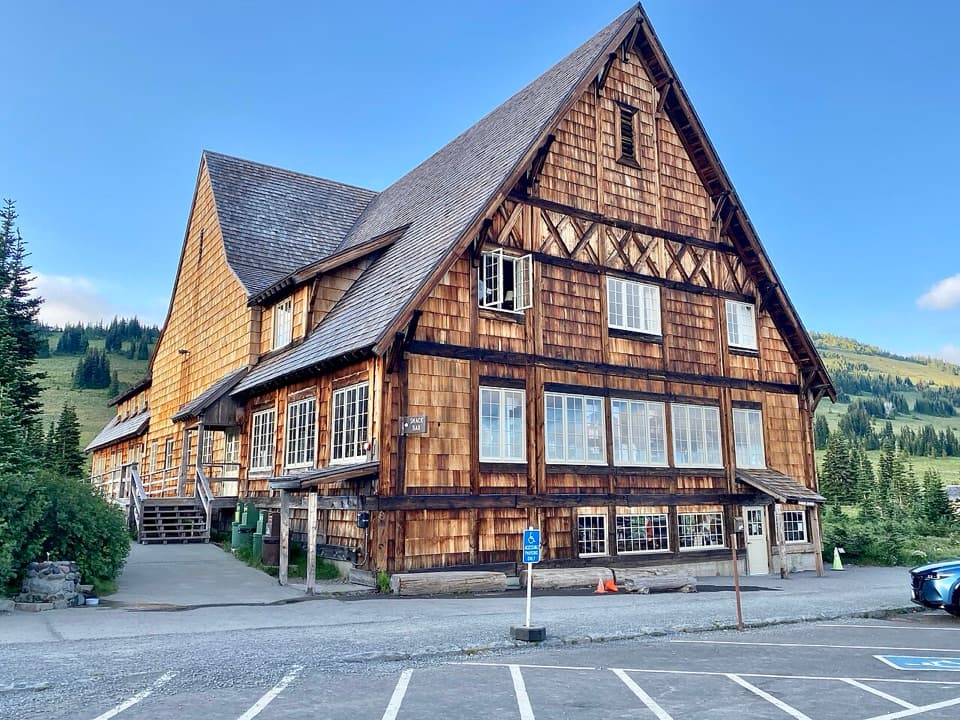 Food · 0.9 mi awaySunrise Day LodgeA 1931 timber lodge for coffee or ice cream after a hike.
 Picnic area · 0.9 mi awaySunrise Picnic AreaPack a lunch for a tree-lined picnic with clear-day Rainier views.
 Scenic pullout · 1.3 mi awaySunrise Road White River ViewRainier and Adams rise above the White River Valley on Sunrise Road.
Parkwolf’s Mount Rainier ranking
The audio tour guide for the drive, plus offline maps, trails, and wildlife heatmaps for when the signal drops.