Parking
Use the designated hiker and climber lot at the end of Loop D in White River Campground; do not park in a campsite. A park entrance fee or pass is required.
Mount Rainier National Park, WA
A 3-mile out-and-back with a rocky spur to glacier and lake views.
Overview
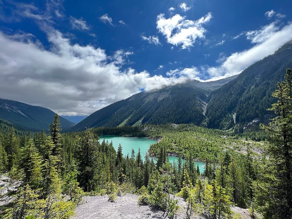
Emmons Moraine Trail is a 3-mile out-and-back from Loop D at White River Campground to a ridge with views of Emmons Glacier and an unnamed turquoise lake. The first mile shares Glacier Basin Trail and climbs gradually through forest; the last half-mile leaves the smoother tread for boulders, a log bridge and steep switchbacks. It is a good choice for a close glacier view without hiking all the way to Glacier Basin. Plan on about two hours and roughly 700 feet of climbing; the loose descent and the viewpoint can stretch that out.
 Parkwolf’s verdictIs this the hike for you?
Map & elevation
Plan your hike

The highest, rockiest slopes around here are a summer buffet for grizzly bears.
Mount Rainier Tour Guide
Parkwolf is a GPS audio tour guide for Mount Rainier National Park. As you drive, it chimes in with what’s ahead: hidden gems, upcoming stops, history, geology, and wildlife, right through your car’s speakers.
See the Mount Rainier audio tourRecorded for this trailhead
White River: The Campground and Patrol Cabin“White River Campground is ahead, a forested base beside the river below Sunrise. For a day visit, there's a separate picnic area, and the historic patrol cabin in Loop D is worth a short look.”
Plays as you drive up to this trailhead in the Parkwolf Mount Rainier Tour Guide.
More stories near here in the app
“Fantastic app with many points of information… It’s great to just turn on while you’re driving and it gives you an audio tour of the national Park. We love it!!!!”


Trail guide
Start at the hiker and climber parking area at the end of Loop D, not in a campsite. The broad dirt path follows the Inter Fork of the White River through forest. It was once a mining road, so this first stretch is a steady, uncomplicated walk beside the river. There is no potable water at the campground.
After about a mile, take the left fork for Emmons Moraine. The path narrows across boulders before reaching a log bridge over the river. Water levels vary, and the crossing can be difficult in some conditions. After the bridge, a short set of steep, loose-dirt switchbacks climbs to the moraine ridge; take extra care on the way down.
The marked route ends at a signed viewpoint. From there you can look across the turquoise lake and toward the glacier, but there is no official trail down to the lake. Faint tracks beyond the sign cross steep, unstable ground; don't follow them. From the maintained ridge, frame the turquoise lake below the debris-covered glacier to show both the water and the moraine that holds it back.
The lake is unnamed. A moraine left by the retreating glacier blocks its meltwater, and fine glacial silt gives the water its blue-green color. Emmons is the largest glacier on Mount Rainier and the largest in the contiguous United States. Rock debris from a December 1963 fall off Little Tahoma covers much of its lower surface, insulating the ice beneath it.
A park entrance fee or pass is required, and pets aren't allowed on park trails. The route is generally snow-free from July into October, though snowmelt can make the river crossing harder. Use the designated hiker and climber lot rather than a campsite, and check current road and trail conditions before setting out.
Wildlife
 466 sightingsMountain GoatMost seen around 6 AMSighting map
 383 sightingsBlack BearMost seen around 7 PMSighting map
 10 sightingsWolverineMost seen around 6 AMSighting map
 58 sightingsElkMost seen around 6 AMSighting map
 574 sightingsMule DeerMost seen around 6 AMSighting map
 1,853 sightingsHoary MarmotMost seen around 6 AMSighting map
Sighting maps show where each species has been reported across Mount Rainier. Wildlife moves, so no sighting is guaranteed.
Keep exploring
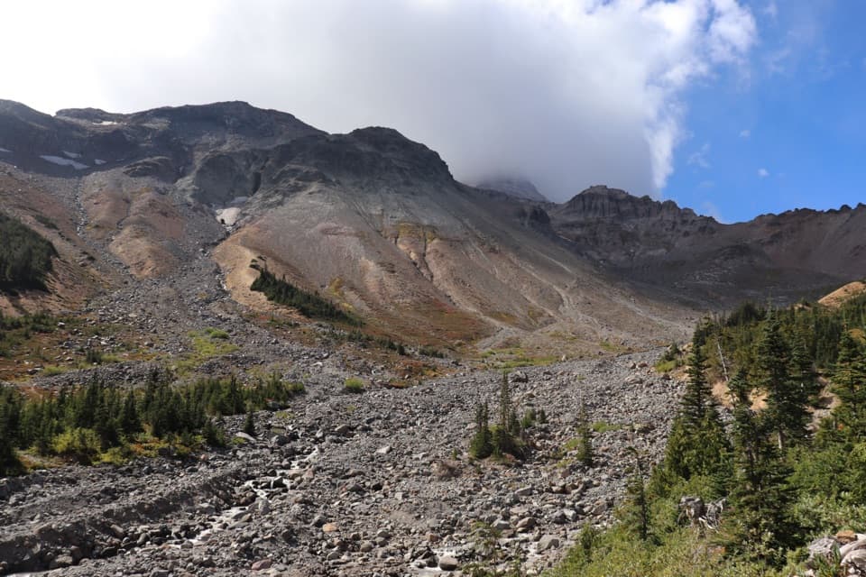 ChallengingGlacier Basin–Burroughs Loop11.5 mi · 8 hr · 0.1 mi awayA hard loop from glacier basin to open, high alpine tundra.
 ModerateGlacier Basin Trail7 mi · 5 hr · 0.1 mi awayA former mining road climbs to a glacier-carved basin.
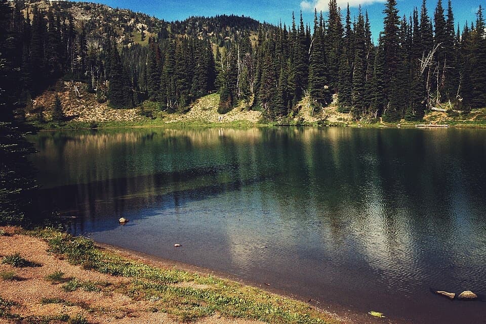 EasyShadow Lake Loop3 mi · 1.5 hr · 0.9 mi awayA short high-country loop reaches Shadow Lake through colorful meadows.
 EasySilver Forest Trail1.9 mi · 1.3 hr · 0.9 mi awayTwo overlooks frame Rainier and Emmons Glacier above open meadows.
 EasySunrise Nature Trail1.5 mi · 45 min · 0.9 mi awayA short climb buys Rainier and Cascade views in under an hour.
 ModerateBurroughs Mountain Trail6.2 mi · 4.5 hr · 0.9 mi awayA high ridge walk puts Rainier and its glaciers front and center.
 ModerateSunrise Rim Trail Loop to First Burroughs4.7 mi · 3 hr · 0.9 mi awayHigh loop to First Burroughs, with Shadow Lake and Emmons Glacier.
 ModerateSourdough Ridge Trail West to Frozen Lake3 mi · 2 hr · 0.9 mi awayA short ridge walk with big Rainier views and a lake turnaround.
 Sight · 0.1 mi awayWhite River Patrol CabinA 500-foot walk to the White River area's oldest cabin.
 Picnic area · 0.2 mi awayWhite River Picnic AreaA wooded meal stop with eight grills and nearby trail access.
 Campground · 0.2 mi awayWhite River CampgroundSunrise-area hikes start right from this wooded riverside camp.
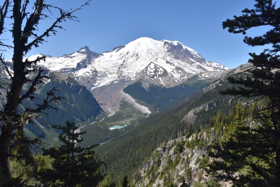 Sight · 0.8 mi awayEmmons Vista OverlooksA short meadow walk to Rainier’s biggest glacier.
 Visitor center · 0.9 mi awaySunrise Visitor CenterA historic alpine trail hub with glacier exhibits and Rainier views.
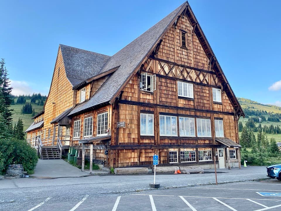 Food · 0.9 mi awaySunrise Day LodgeA 1931 timber lodge for coffee or ice cream after a hike.
 Picnic area · 0.9 mi awaySunrise Picnic AreaPack a lunch for a tree-lined picnic with clear-day Rainier views.
 Scenic pullout · 1.4 mi awaySunrise Road White River ViewRainier and Adams rise above the White River Valley on Sunrise Road.
Parkwolf’s Mount Rainier ranking
The audio tour guide for the drive, plus offline maps, trails, and wildlife heatmaps for when the signal drops.



