
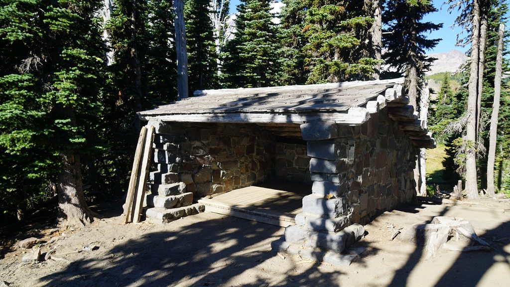
Place · 1.3 mi away
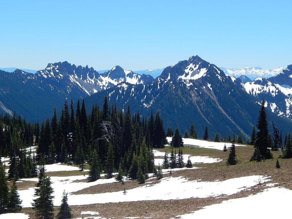
Tamanos Mountain rises to 6,790 feet on Rainier’s east side, a rewarding summit reached from the Owyhigh Lakes Trail. It’s a non-technical, strenuous outing that trades crowds for solitude and big, photogenic views. Expect a well-built trail to the lakes, then a steeper, faint climber’s path up meadows and ridge to the top.
Most hikers start on the Owyhigh Lakes Trail and follow it for roughly 3.6–3.8 miles before branching onto the informal path up Tamanos’s southwest slopes. Total distance commonly lands around 10–11 miles round trip with about 3,000 feet of elevation gain. The final stretch is steeper and less defined, with a bit of easy scrambling.
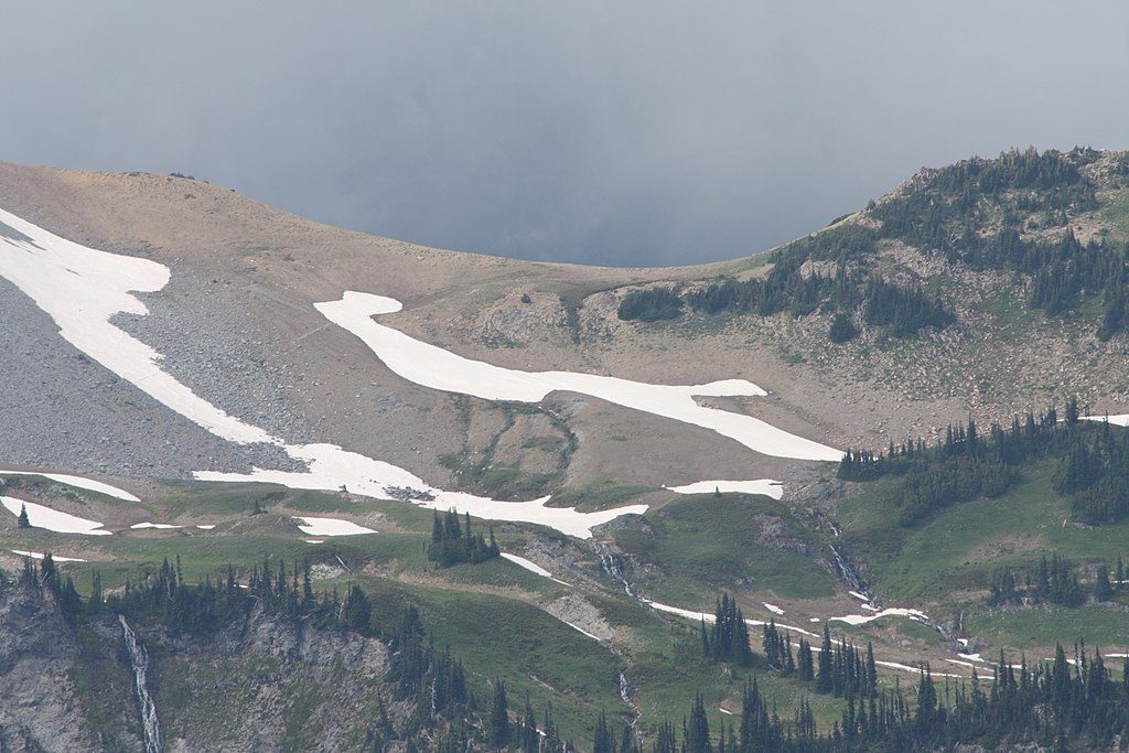
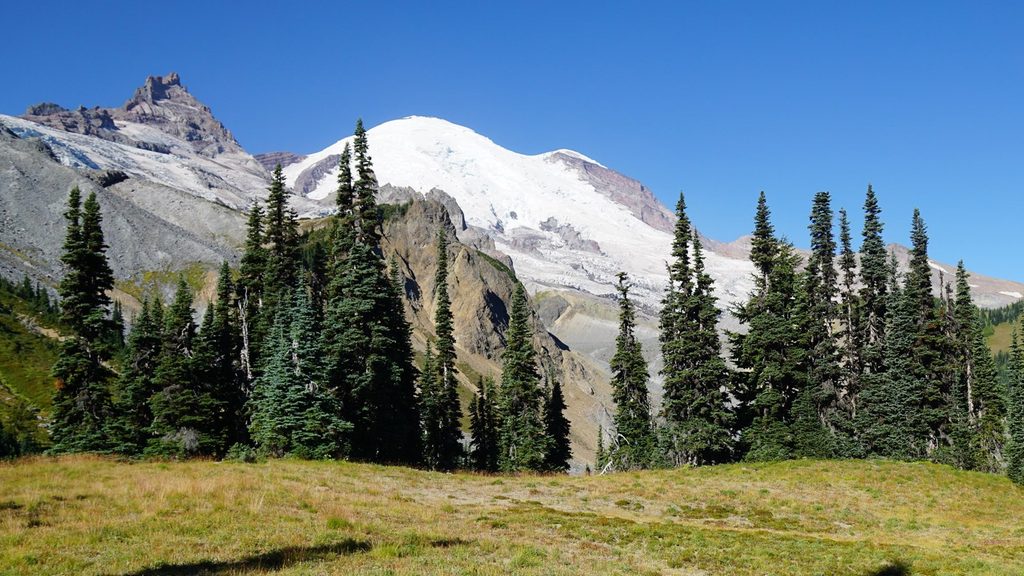
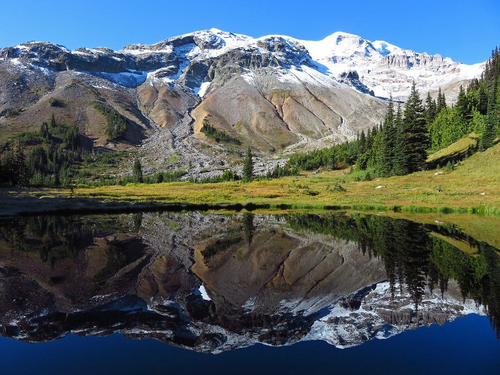
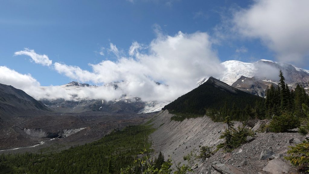
You’ll pass old-growth forest low down, then subalpine meadows and the shorelines of Owyhigh Lakes with views toward Governors Ridge and Barrier Peak. From higher on Tamanos, the panorama opens to Rainier (including Fryingpan Glacier), the Cowlitz Chimneys, Panhandle Gap, and distant Cascades.
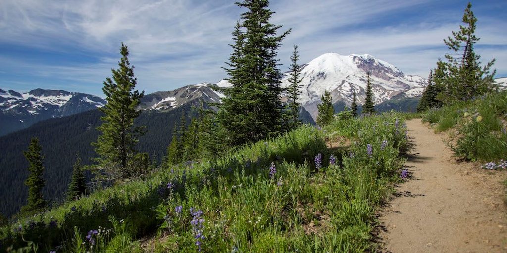
On summers with lingering snow, wildflowers on the southwest slopes can be prolific well into late season—look for glacier lily, lupine, paintbrush, pasque flower, spreading phlox, scarlet columbine, and purple asters. Around the lakes and meadows, hikers commonly encounter marmots and deer, and occasionally black bears and alpine birds.
If you like a quieter summit with diverse scenery—forest, lakes, meadows, and airy ridgelines—this is a strong choice. Confident hikers who don’t mind a faint path and some routefinding will get the most out of it. Ambitious scramblers sometimes link nearby peaks (Governors Ridge, Barrier Peak, Buell Peak) into a bigger day.
July through September is the sweet spot for mostly snow-free travel and flowers. In big-snow years, floral peak can extend into early September. Go early in the day for cooler temps, calmer air, and better light; weekdays are typically quieter. Winter access is possible only for experienced parties prepared for snow travel.
Place · 1.3 mi away
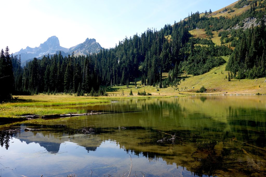
Place · 1.6 mi away
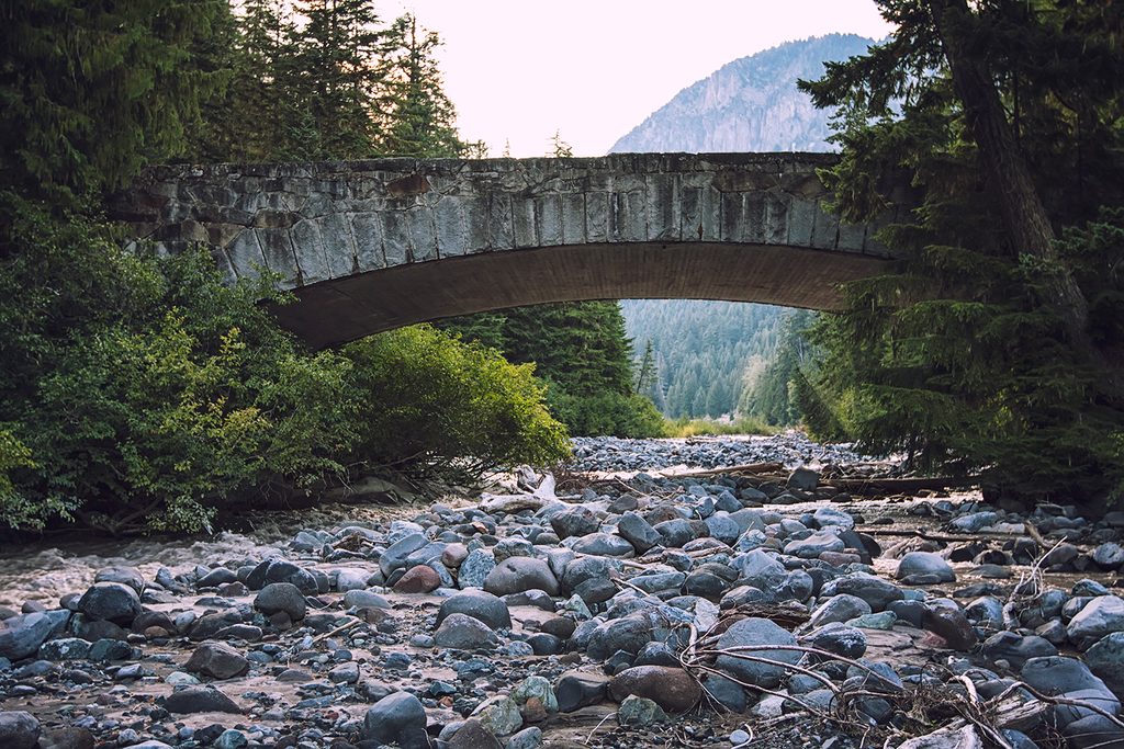
Place · 2.1 mi away
Place · 2.6 mi away
Moderate · 1.3 mi away
Moderate · 3 mi away
Easy · 3 mi away
Easy · 3.1 mi away

Parkwolf Tour Guide
