
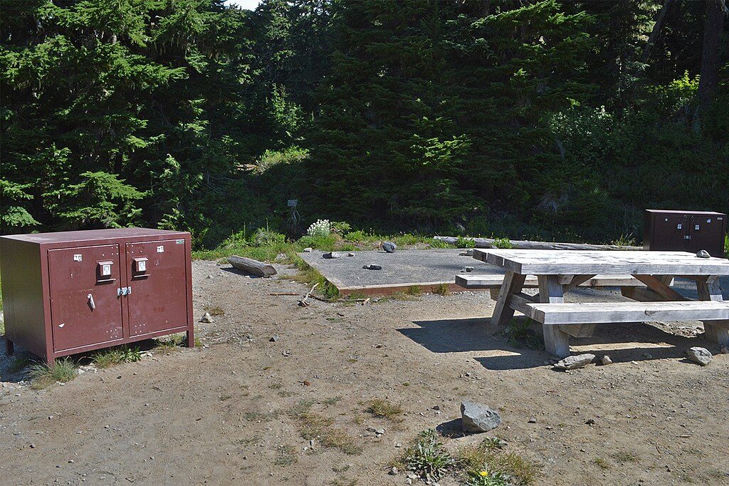
Place · 0.1 mi away
Challenging
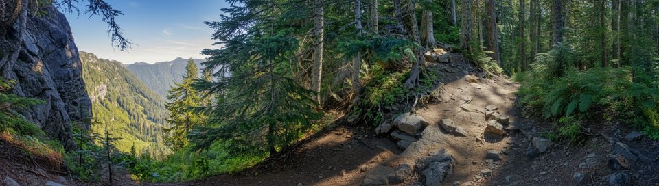
A big, rewarding day for strong hikers, the Ipsut Pass Trail climbs from the Carbon River valley to a 5,100-foot pass, then drops toward the Mowich Lake high country. It’s about 17.2 miles total (round trip from the Carbon River Entrance to the pass and back) with roughly 3,300 feet of gain—hard, sustained work with serious payoff in solitude and scenery.
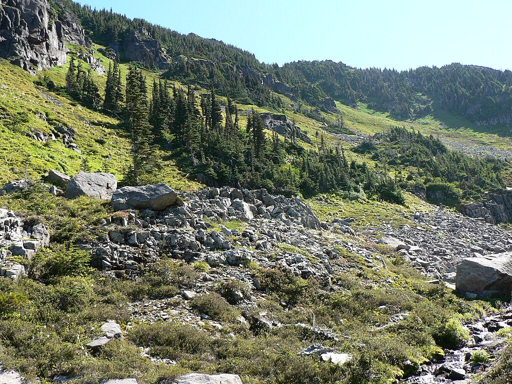
From the Carbon River Entrance, you start with a flat approach on the old Carbon River Road through deep, dripping forest alongside Ipsut Creek. Many hikers bike this first segment to Ipsut Creek Camp to save time and legs. Beyond the camp, the true trail pitches up in switchbacks and turns rugged—expect dirt, roots, rocks, and mud after rain. The pass delivers airy views and a wild, tucked‑away vibe (fitting, as “Ipsut” comes from Chinook Jargon for “to hide”). If you continue down toward Mowich Lake, the descent is steep beneath cliffs with emerging springs, then thick forest near the valley floor.
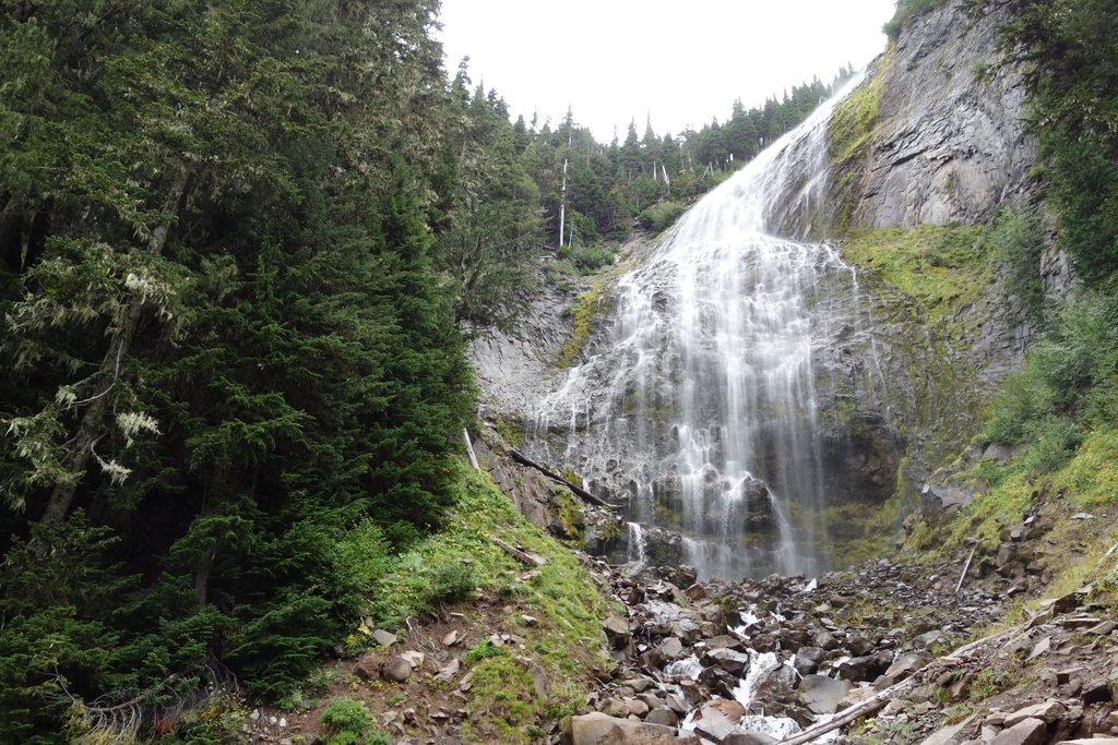
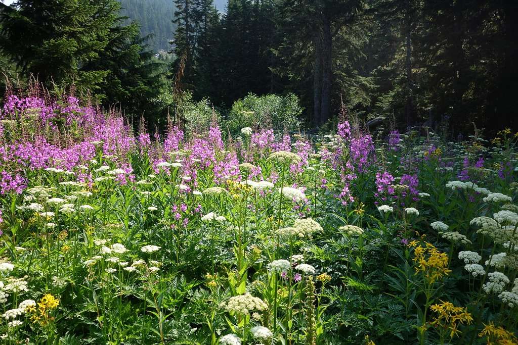
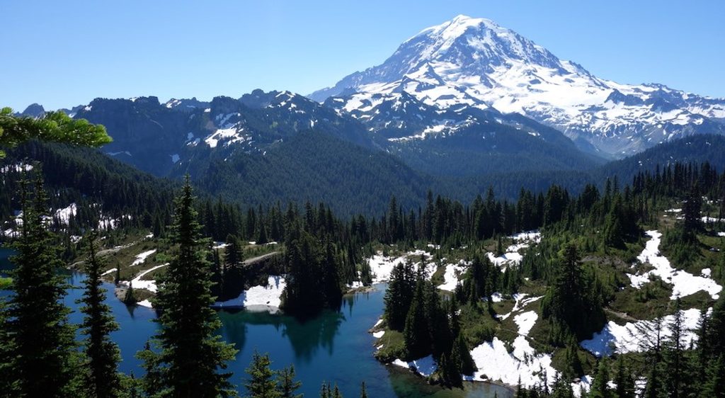
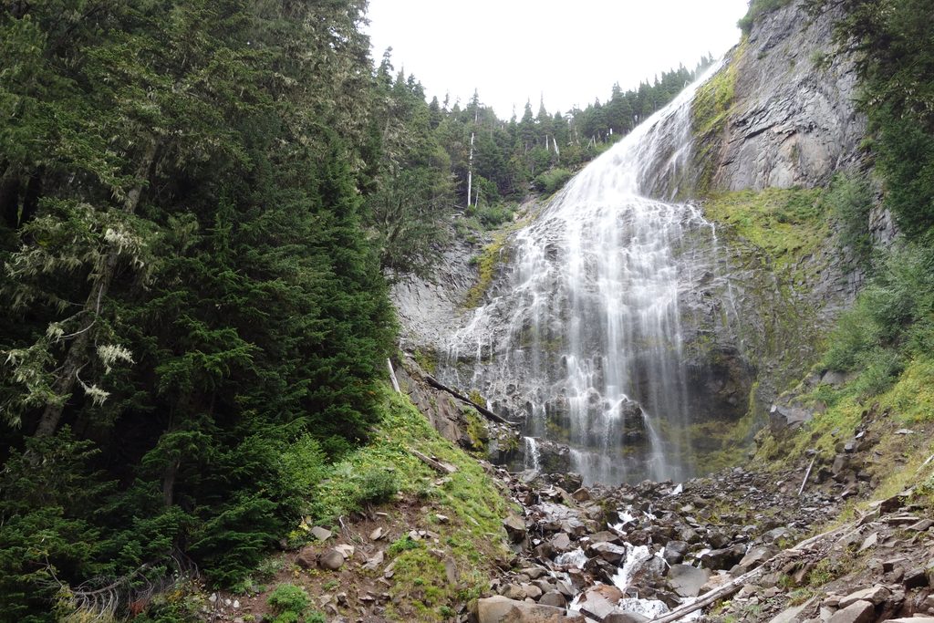
The lower miles hug a lush, temperate rainforest of fir, cedar, Douglas‑fir, and western hemlock, with moss‑draped cascades and the constant sound of tributaries feeding Ipsut Creek. Climbing brings views into the Carbon River Valley and toward the dramatic ridges near Castle Peak and Mother Mountain. Linking with Spray Park turns the day into one of the park’s classic wildflower tours in summer.
Late spring through early fall is the workable window; snow lingers at higher elevations and can keep the pass snowbound until early summer. July–August are prime for wildflowers (especially if you add Spray Park), while September brings crisp air and standout fall color. Start early for cooler temps, firmer morning tread, and a buffer for the long miles; midweek sees fewer people.
Absolutely—if you want solitude, a serious workout, and classic north‑side Rainier scenery. The long road approach and steep grades make it best for fit, experienced hikers; the rewards are waterfalls, ancient forest, wildflower meadows (with the Spray Park add‑on), and sweeping valley views.
Park at the Carbon River Entrance. The Carbon River Road beyond is closed to vehicles—walk or bike the old road to Ipsut Creek Camp, where the steep Ipsut Pass Trail begins.
Expect a long approach on a closed road, steep and sometimes muddy switchbacks, and lingering early‑season snow at the pass. Bikes are allowed on the road only. Treat all water and prepare for rapidly changing mountain weather.
Place · 0.1 mi away
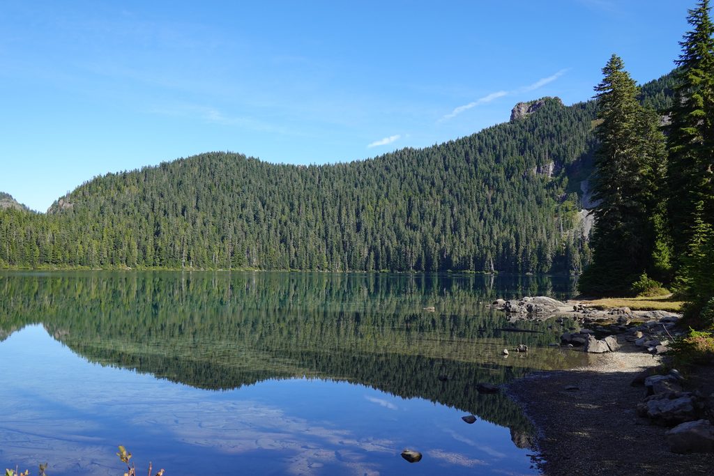
Place · 0.4 mi away
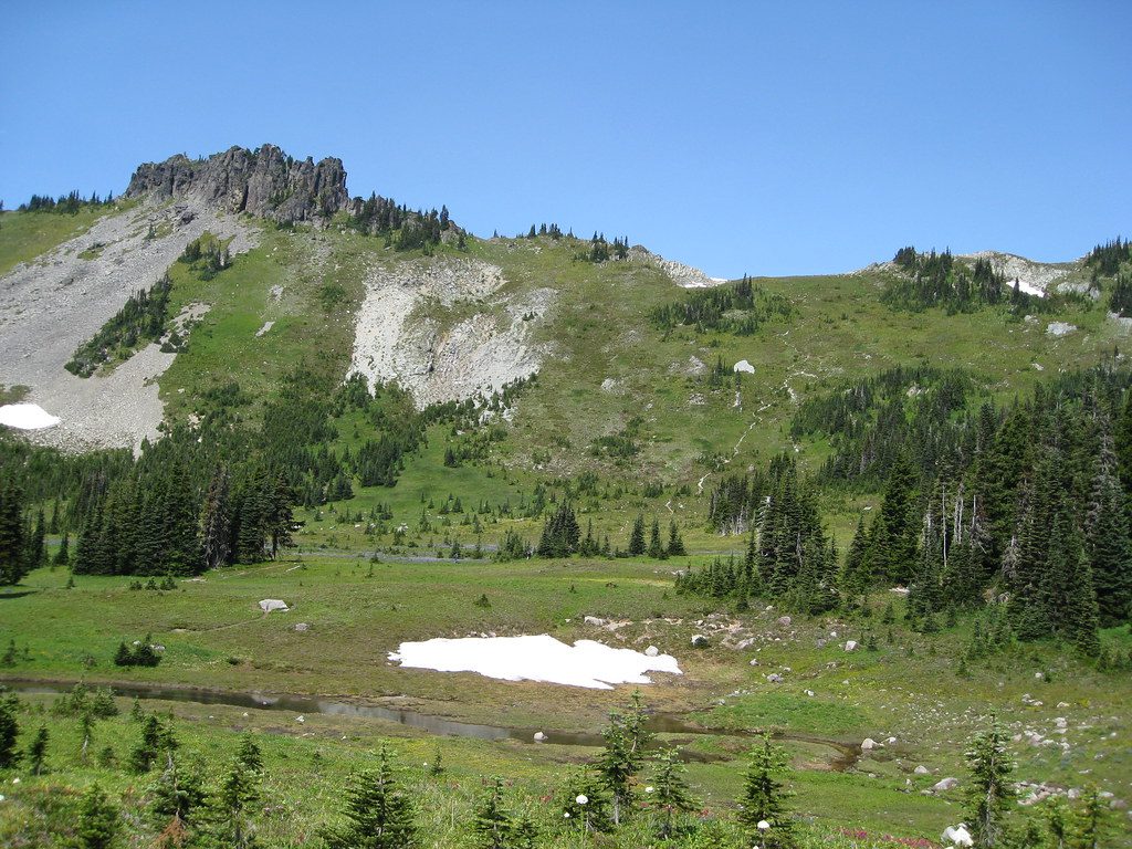
Place · 1 mi away
Place · 1.6 mi away
Moderate · 0 mi away
Moderate · 0 mi away
Challenging · 0 mi away
Moderate · 0 mi away

Parkwolf Tour Guide
