1 active Mount Rushmore alert
- InfoSculptor’s Studio Heat AdvisoryThe Sculptor’s Studio may close temporarily during periods of high heat. - The closure protects visitors and staff from high heat.Official details
Picnic area · Mount Rushmore National Memorial
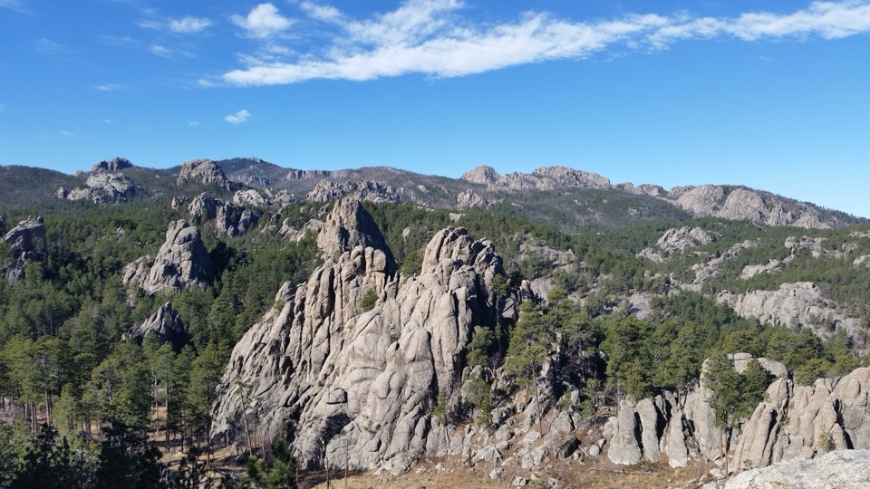
A shaded picnic spot with a short walk to two spire views.
Overview
Map
Plan your stop

The highest, rockiest slopes around here are a summer buffet for grizzly bears.
Mount Rushmore Tour Guide
Parkwolf is a GPS audio tour guide for Mount Rushmore National Memorial. As you drive, it chimes in with what’s ahead: hidden gems, upcoming stops, history, geology, and wildlife, right through your car’s speakers.
Recorded for this area
Wrinkled Rock Climbing Area“You're coming up on Wrinkled Rock Climbing Area, a day-use stop with granite formations reached from a gravel lot. It's mainly for climbers, rather than another view of the carved faces.”
Plays on the road 0.4 mi from Breezy Point Overlook & Picnic Area in the Parkwolf Mount Rushmore Tour Guide.
More stories near here in the app
“We recently toured Badlands, Custer State Park, Mount Rushmore and more! We learned so much from this app as we toured each of these sites. The audio tours are worth the money.”


Guide
Breezy Point is a five-site picnic area on SD-244, just west of Mount Rushmore, with a separate overlook reached by a short paved path. It’s a good place to eat outside and stretch your legs, but the main view is beyond the tables, so keep walking past the picnic area.
The gently rising paved path is about 0.3 miles round trip and forks at two viewpoints. Take both branches: one faces granite formations, while the other looks toward a spire rising above the pine forest. The overlook also takes in Mount Rushmore, Black Elk Peak, and Black Elk Wilderness.
For a photo, try the branch with the spire above the trees; include some of the pine canopy so the rock’s height reads clearly. The other branch gives you a broader look at the granite formations.
The nearby granite spires are the same hard Black Hills rock used to carve Mount Rushmore. They add a close-up granite perspective to a stop known for its memorial and Black Hills views.
There’s a parking lot at the site. Bring your own food and drinking water; potable water isn’t available here. A restroom is reported at the picnic area, but its current type and accessible status aren’t consistently clear. From Hill City or Custer, follow SD-244 east from US-16 for about seven miles, then turn north at the signed Breezy Point portal. The path is short and paved, but it rises gently to the overlooks.
Wildlife
 87 sightingsMountain GoatMost seen around 6 PMSighting map
 44 sightingsMule DeerMost seen around 6 PMSighting map
 20 sightingsWhite-tailed DeerMost seen around 6 PMSighting map
 14 sightingsTurkey VultureMost seen around 1 PMSighting map
 32 sightingsMarmotMost seen around 7 AMSighting map
 11 sightingsBrook TroutMost seen around 8 PMSighting map
Sighting maps show where each species has been reported across Mount Rushmore. Wildlife moves, so no sighting is guaranteed.
Keep exploring
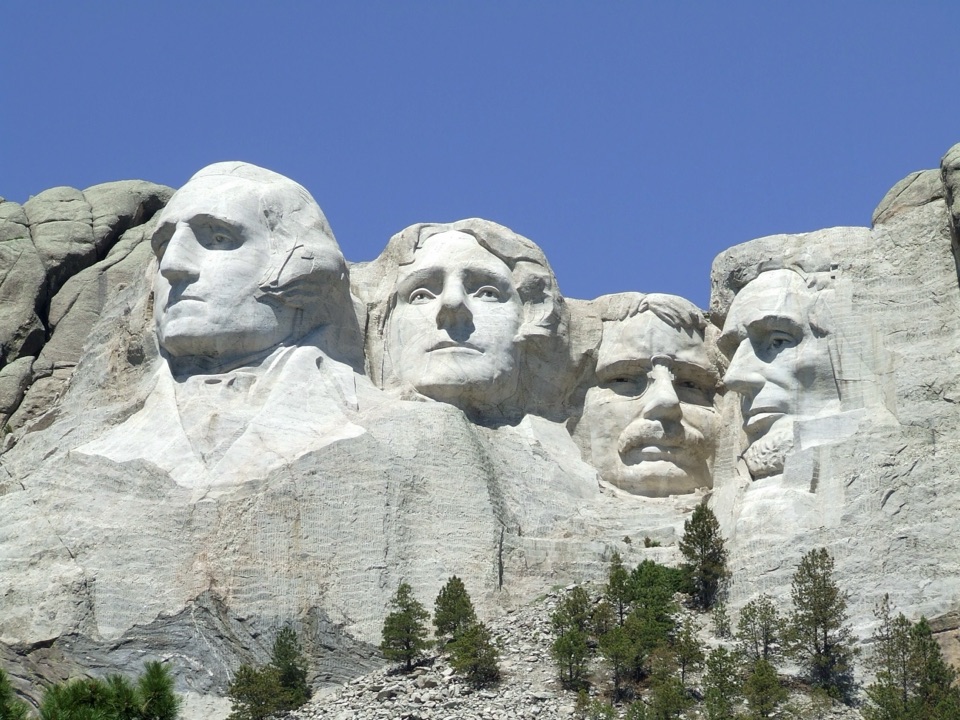
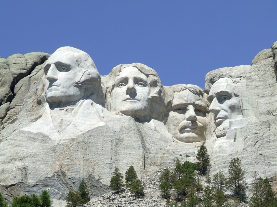 ModeratePresidential Trail0.6 mi · 36 min · 1.3 mi awayClose views of the carving, plus 422 stairs around the loop.
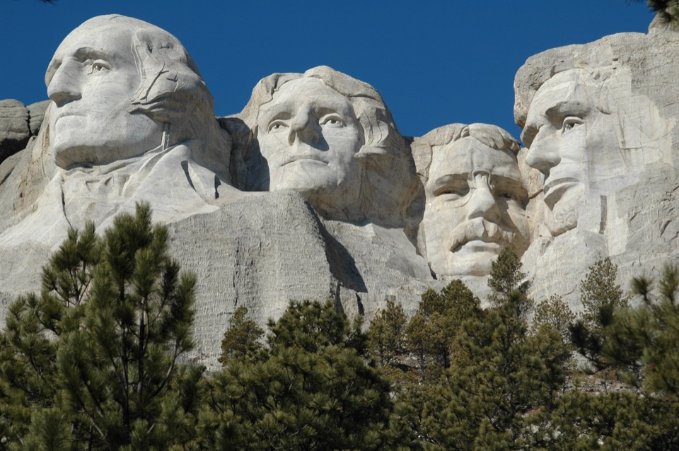 EasyPresidential Trail (Stair-Free Route)0.4 mi · 24 min · 1.3 mi awayA close view of the carved faces without the full stair loop.
 EasyNature Trail0.4 mi · 18 min · 1.5 mi awayA wooded link to Borglum's Sculptor's Studio.
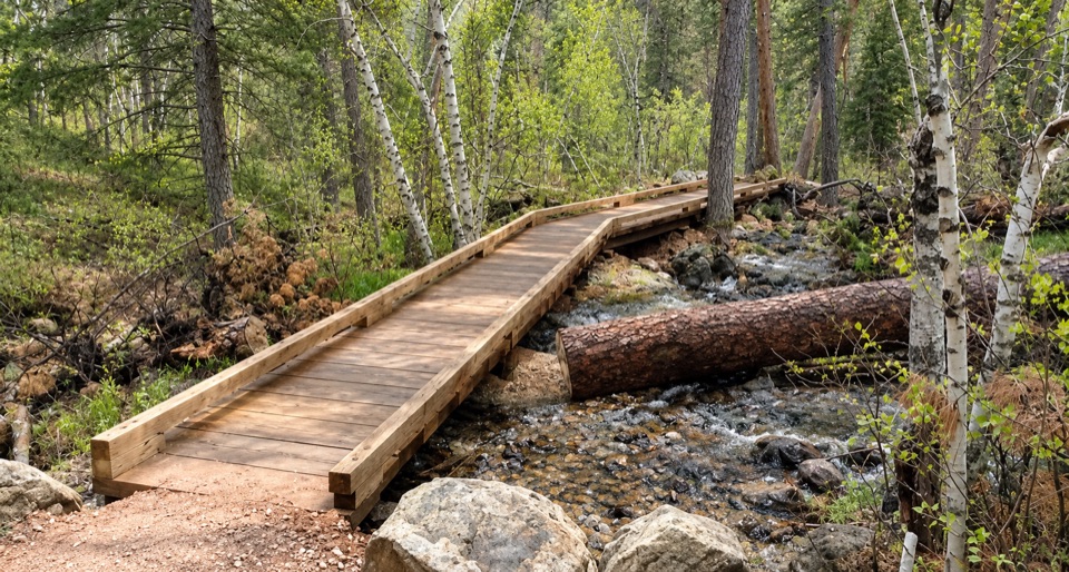 ModerateBlackberry Trail1.5 mi · 45 min · 1.5 mi awayA wooded creek walk, then a steady climb back.
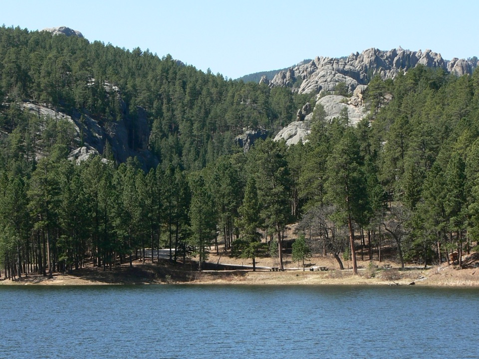 ModerateHorse Thief Lake via Blackberry and Centennial Trail3.8 mi · 2.5 hr · 1.6 mi awayA creekside forest route leads from a granite memorial to Horsethief Lake.
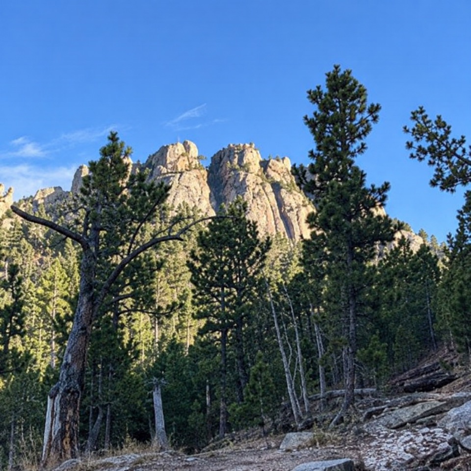 ModerateWillow Creek Rushmore Trail #51.9 mi · 1.2 hr · 2.1 mi awayA short one-way forest route toward Mount Rushmore.
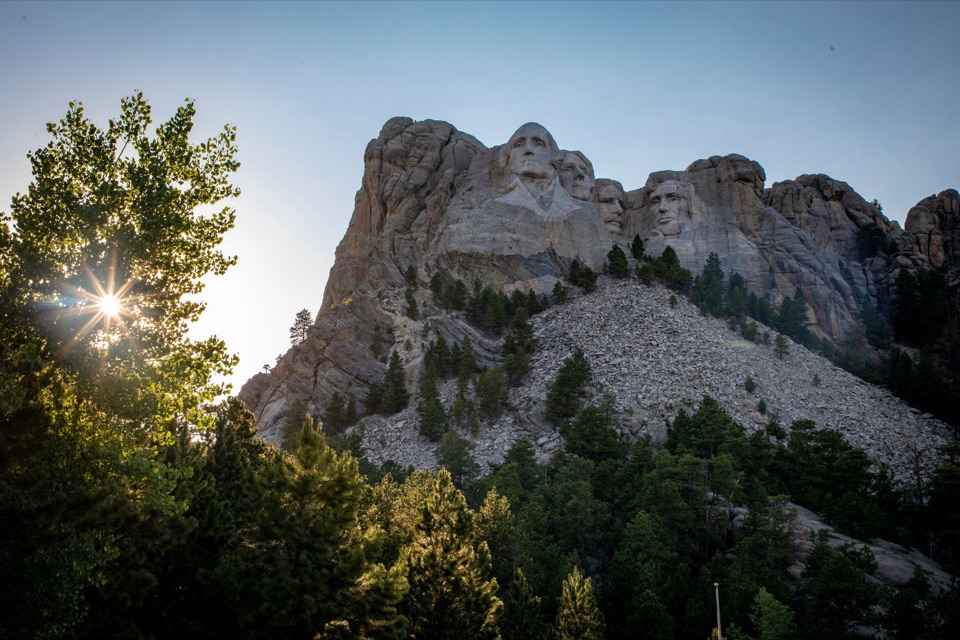 ChallengingMount Rushmore via Centennial Trail10.7 mi · 6 hr · 5 mi awayA long Centennial approach to the Mount Rushmore memorial.
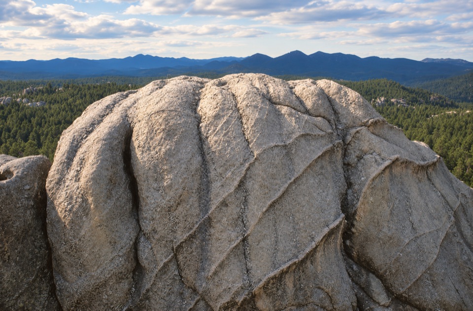 Sight · 0.4 mi awayWrinkled Rock Climbing AreaSeveral granite climbing formations beside a scenic byway.
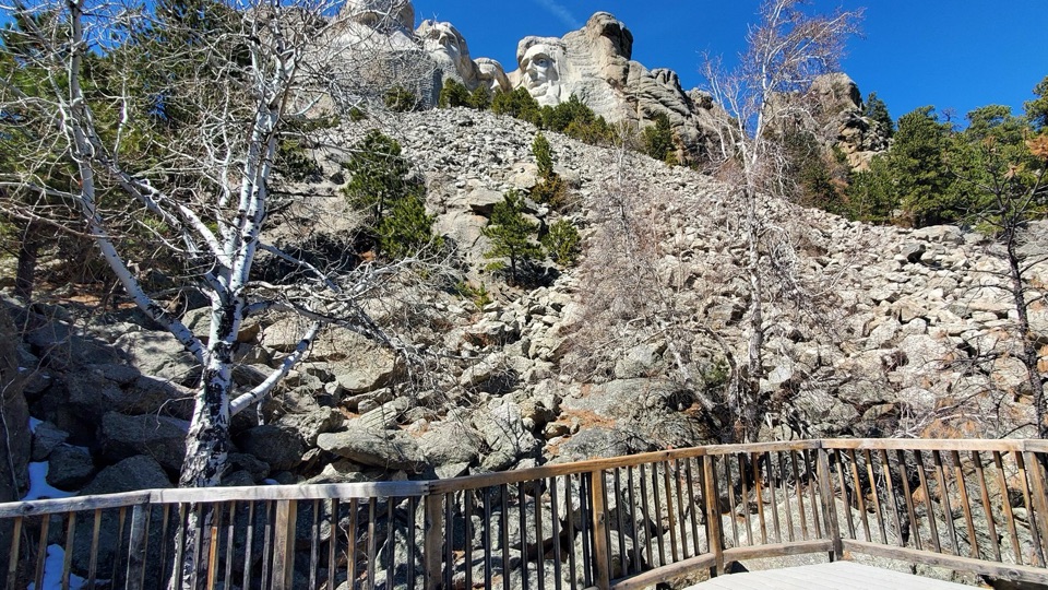 Sight · 1.2 mi awayTalus TerraceRushmore's closest public view, beside 450,000 tons of carving debris.
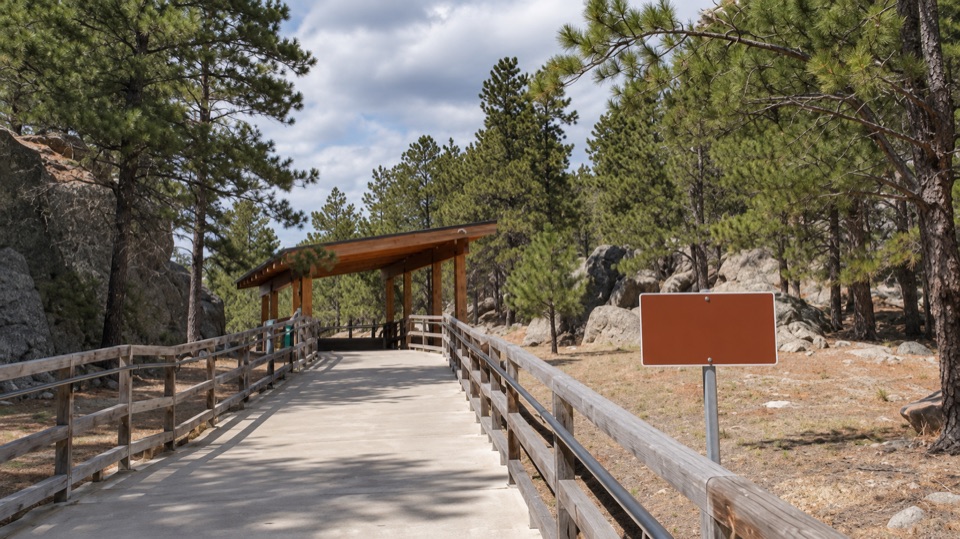 Sight · 1.2 mi awayYouth Exploration Area and Lakota, Nakota, and Dakota Heritage VillageA short stop for Lakota, Nakota, and Dakota interpretation.
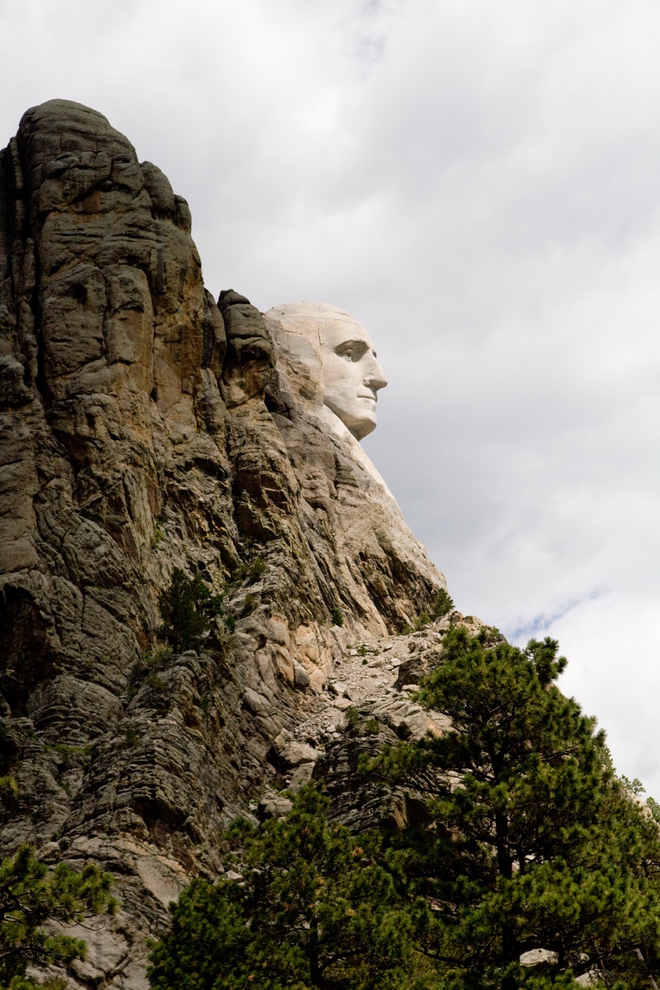 Scenic pullout · 1.2 mi awayProfile ViewA quick roadside stop for Washington’s rock-framed profile.
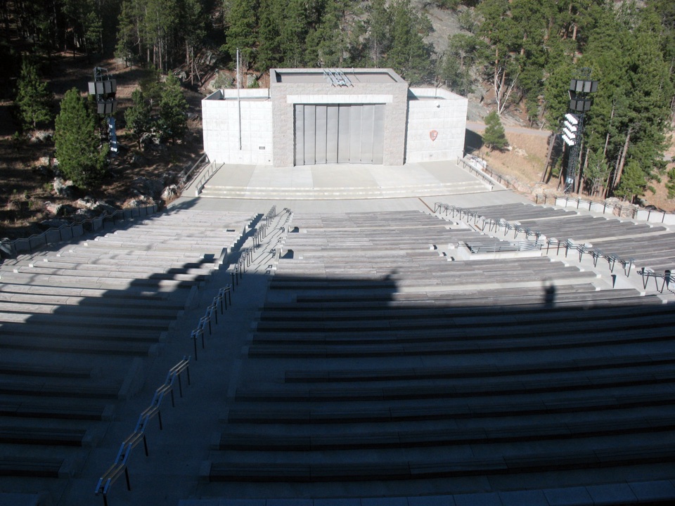 Sight · 1.3 mi awayMount Rushmore National Memorial AmphitheaterWatch the memorial light up from a seat below the faces.
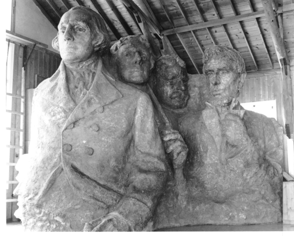 Sight · 1.3 mi awaySculptor's StudioSee the scale model Borglum used to plan Mount Rushmore's carving.
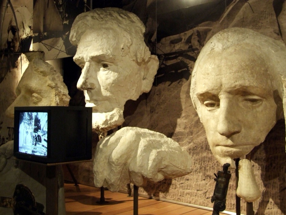 Visitor center · 1.3 mi awayLincoln Borglum Visitor CenterTrace the carving from plaster models to workers’ photographs.
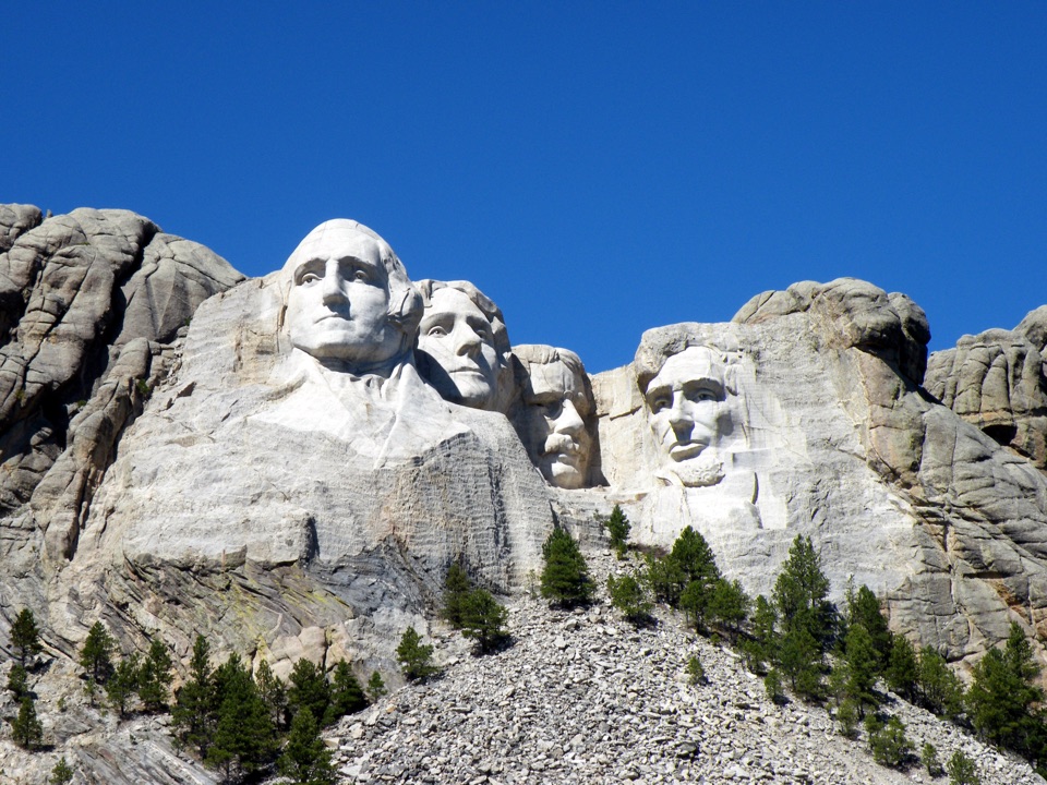 Sight · 1.3 mi awayHistoric View TerraceAn original Rushmore viewpoint, a little away from the main terrace.
Parkwolf’s Mount Rushmore ranking

The audio tour guide for the drive, plus offline maps, trails, and wildlife heatmaps for when the signal drops.