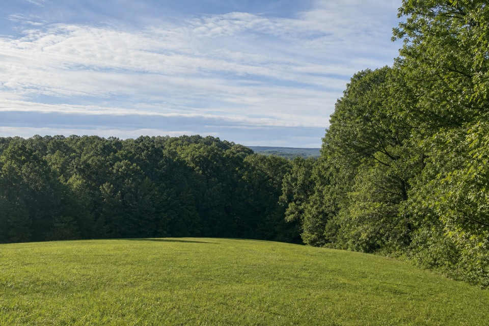
Parking
Use the Cave Spring parking area at milepost 308.4. The trail starts across the lot from the restrooms.
Natchez Trace Parkway, MS · AL · TN
A 250-foot walk to a cave you can see but not enter.
Overview
Map & elevation
Plan your hike

The highest, rockiest slopes around here are a summer buffet for grizzly bears.
Natchez Trace Tour Guide
Parkwolf is a GPS audio tour guide for Natchez Trace Parkway. As you drive, it chimes in with what’s ahead: hidden gems, upcoming stops, history, geology, and wildlife, right through your car’s speakers.
Recorded for this trailhead
Cave Spring and Bear Creek Mound“Up ahead is Cave Spring, where a short walk and steep stairs lead to the mouth of a collapsed limestone cavern. People used this spring as a water source for thousands of years.”
Plays as you drive up to this trailhead in the Parkwolf Natchez Trace Tour Guide.
More stories near here in the app
“Fantastic app with many points of information… It’s great to just turn on while you’re driving and it gives you an audio tour of the national Park. We love it!!!!”


Trail guide
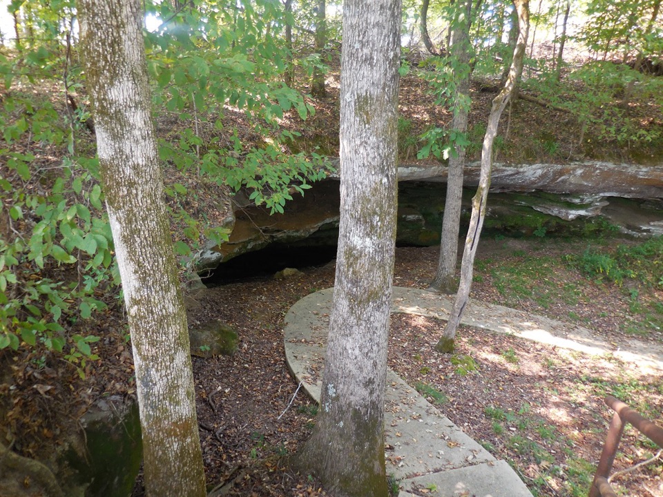
Cave Spring Trail is a paved out-and-back, about 250 feet round trip, from the parking area to a limestone cave mouth and back. It is a quick site visit rather than a longer hike: the payoff is the spring and cave shelter, not distance.
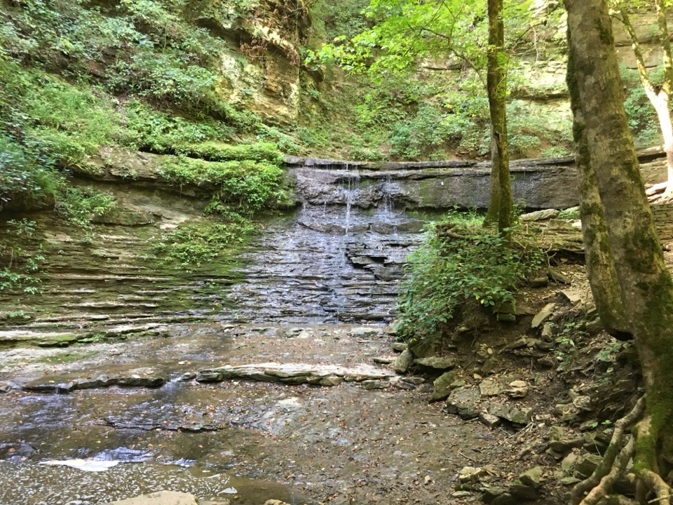
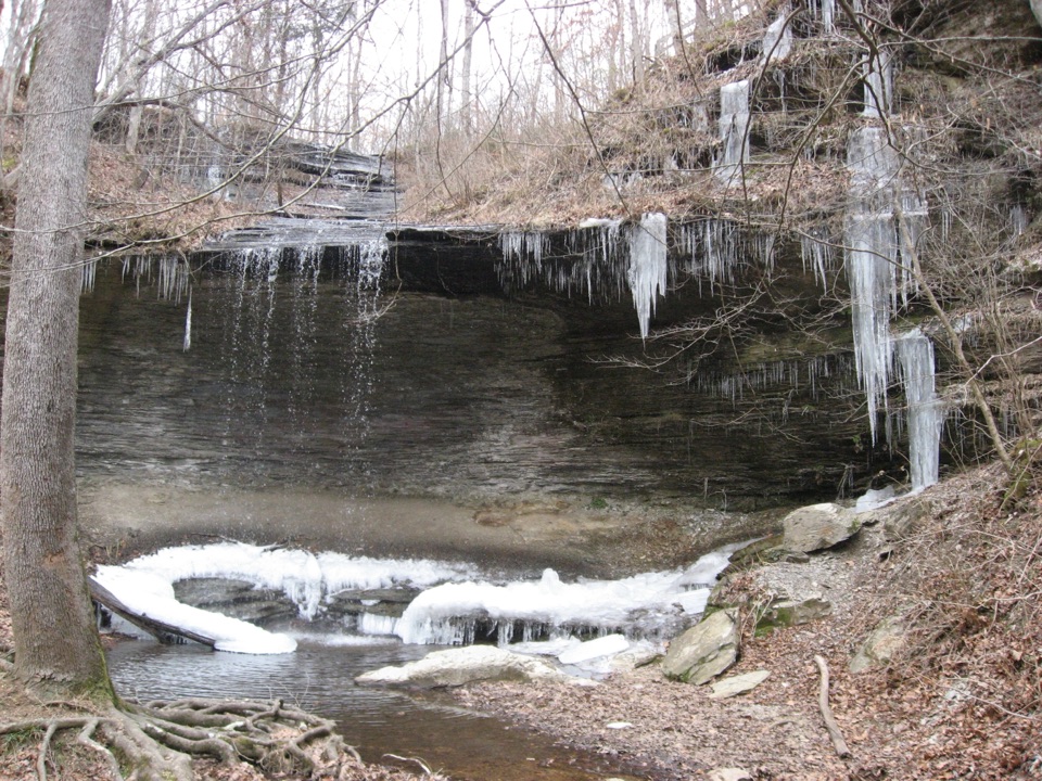
The route descends a very steep stairway to the cave mouth. An underground limestone cavern collapsed to form the cave, and Paleo hunters who used nearby Bear Creek Mound probably drew water here. The cave is closed to entry and its spring water is unsafe to drink. A separate viewpoint is provided for visitors who cannot negotiate the stairs. From the rail, frame the dark opening with the steps leading toward it.
Start at the Cave Spring parking area at milepost 308.4; the trail begins across the lot from the restrooms. Allow about ten minutes for the short walk and a look around. If the stairs are not manageable, use the separate viewpoint. Pets are allowed on Parkway trails on a leash no longer than six feet.
Wildlife
 39 sightingsAmerican AlligatorMost seen around 6 PMSighting map
 35 sightingsWhite-tailed DeerMost seen around 7 AMSighting map
 53 sightingsWild TurkeyMost seen around 7 AMSighting map
 28 sightingsGreat Blue HeronMost seen around 6 PMSighting map
 29 sightingsRed-headed WoodpeckerMost seen around 7 AMSighting map
 32 sightingsTurkey VultureMost seen around noonSighting map
Sighting maps show where each species has been reported across Natchez Trace. Wildlife moves, so no sighting is guaranteed.
Keep exploring
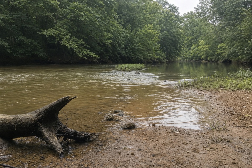 EasyNatchez Trace Trail1.3 mi · 45 min · 3.5 mi awayA short out-and-back to the Bear Creek Trail junction.
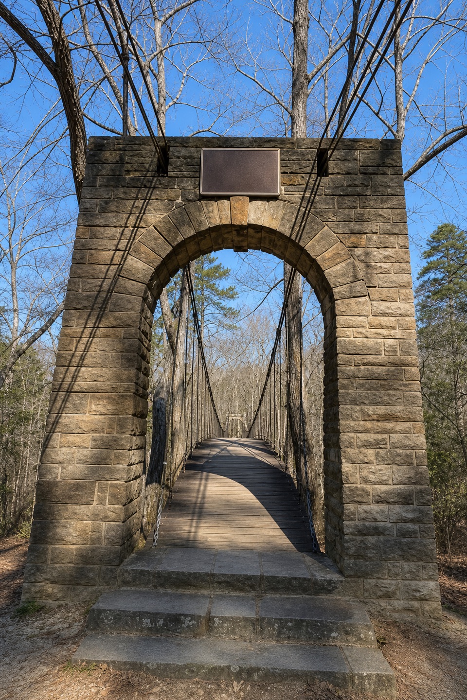 EasyBear Creek Trail0.9 mi · 30 min · 4 mi awayA wooded path beside Bear Creek ends at a historic swinging bridge.
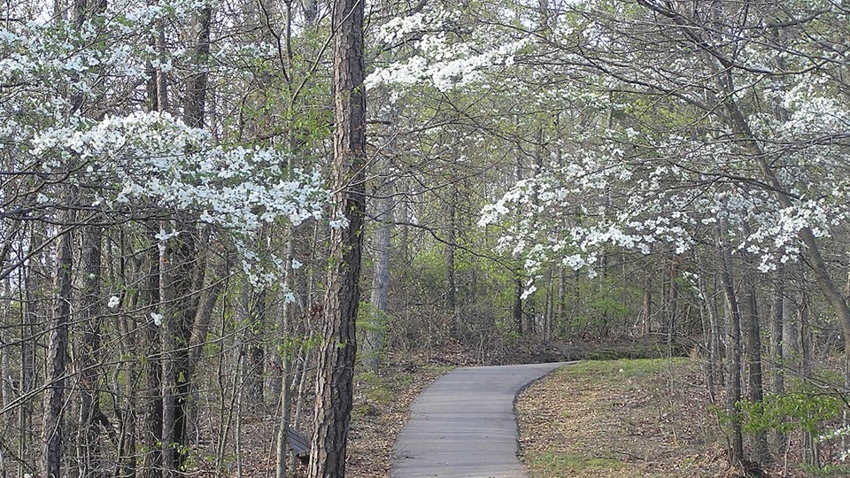 EasyFreedom Hills Overlook Trail0.5 mi · 30 min · 7.5 mi awayA short, steep climb for dogwoods and fall color
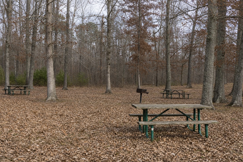 EasyTenn-Tom Trail0.2 mi · 15 min · 14 mi awayA short paved walk to waterway signs beside the Parkway bridge.
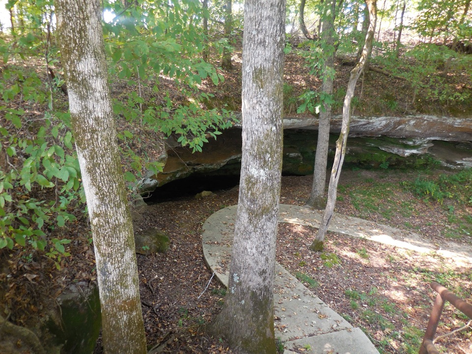 Sight · At the trailheadCave SpringA collapsed limestone cavern and spring, sacred ground for millennia
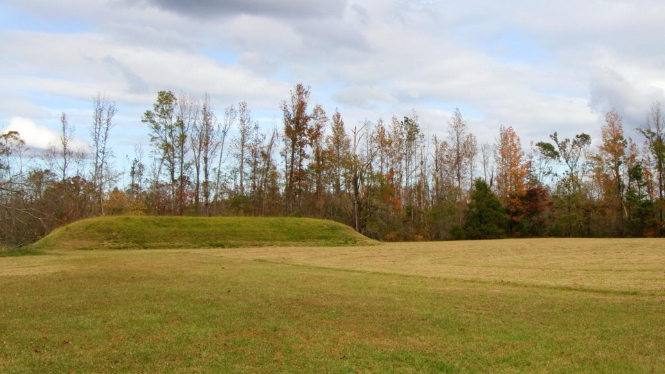 Sight · 0.5 mi awayBear Creek MoundFlat-topped ceremonial mound raised about 900 years ago beside the creek
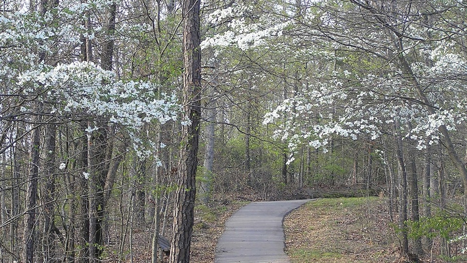 Sight · 7.7 mi awayFreedom Hills OverlookShort steep paved climb to Alabama's highest point on the Trace
Parkwolf’s Natchez Trace ranking

The audio tour guide for the drive, plus offline maps, trails, and wildlife heatmaps for when the signal drops.