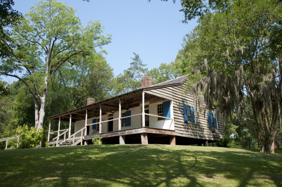
Best time to go
Morning or late afternoon light is the most useful for photographs of the sign, the shelter, and the shaded old roadbed, since the site sits among trees and the road cut reads better with lower, angled light.
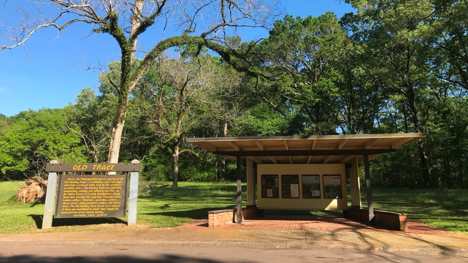
Sight · Natchez Trace Parkway
Read the Old Trace story, then look across at the road itself
Overview
This is a short roadside orientation to the Old Natchez Trace, set near the Parkway's southern end. A small covered shelter holds exhibit panels that explain how the route grew from animal paths and Indigenous trails into a well-worn travel corridor, and how that corridor eventually became a national park road. If you are starting a drive near Natchez, reading these panels first gives the rest of the Parkway's historic sites context they otherwise lack.
 Parkwolf’s verdictWhy stop
Map
Plan your stop

The highest, rockiest slopes around here are a summer buffet for grizzly bears.
Natchez Trace Tour Guide
Parkwolf is a GPS audio tour guide for Natchez Trace Parkway. As you drive, it chimes in with what’s ahead: hidden gems, upcoming stops, history, geology, and wildlife, right through your car’s speakers.
Recorded for this area
Five Swims in One Day“At the Old Trace Exhibit Shelter, one panel gives you a traveler's 1812 tally: he swam his horse five times in a day, bridged one creek, forded others, and still waded a swamp. Rain came that night.”
Plays on the road 0.5 mi from Old Trace Exhibit Shelter in the Parkwolf Natchez Trace Tour Guide.
More stories near here in the app
“Fantastic app with many points of information… It’s great to just turn on while you’re driving and it gives you an audio tour of the national Park. We love it!!!!”


Guide
The value here is the pairing of explanation and evidence. You read about a route worn down by generations of foot, hoof, and wagon traffic, then turn around and see a surviving trace of it a short distance away. It is a low-key stop that does the interpretive groundwork for everything else you will pass.
Treat this as an early, brief stop rather than a destination. Pull into the parking area, read the panels, take a look at the old road section, and continue north. It works well as the first pause of a Parkway day, since the history it lays out repeats at sites for hundreds of miles.
Wildlife
 39 sightingsAmerican AlligatorMost seen around 6 PMSighting map
 35 sightingsWhite-tailed DeerMost seen around 7 AMSighting map
 53 sightingsWild TurkeyMost seen around 7 AMSighting map
 28 sightingsGreat Blue HeronMost seen around 6 PMSighting map
 29 sightingsRed-headed WoodpeckerMost seen around 7 AMSighting map
 32 sightingsTurkey VultureMost seen around noonSighting map
Sighting maps show where each species has been reported across Natchez Trace. Wildlife moves, so no sighting is guaranteed.
Keep exploring
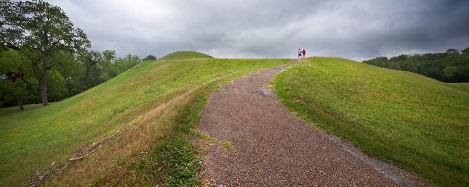 Sight · 1.6 mi awayEmerald MoundClimb the second-largest Mississippian ceremonial mound in the U.S.
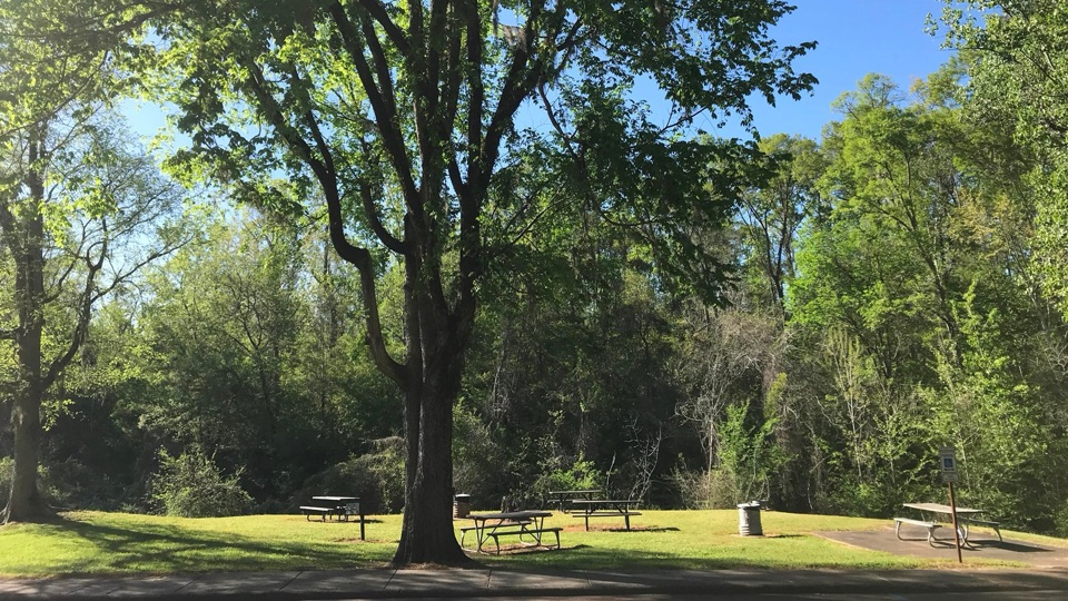 Picnic area · 3.2 mi awayTurpin Creek Picnic AreaGrassy roadside picnic clearing with tables, grills, and creek sounds
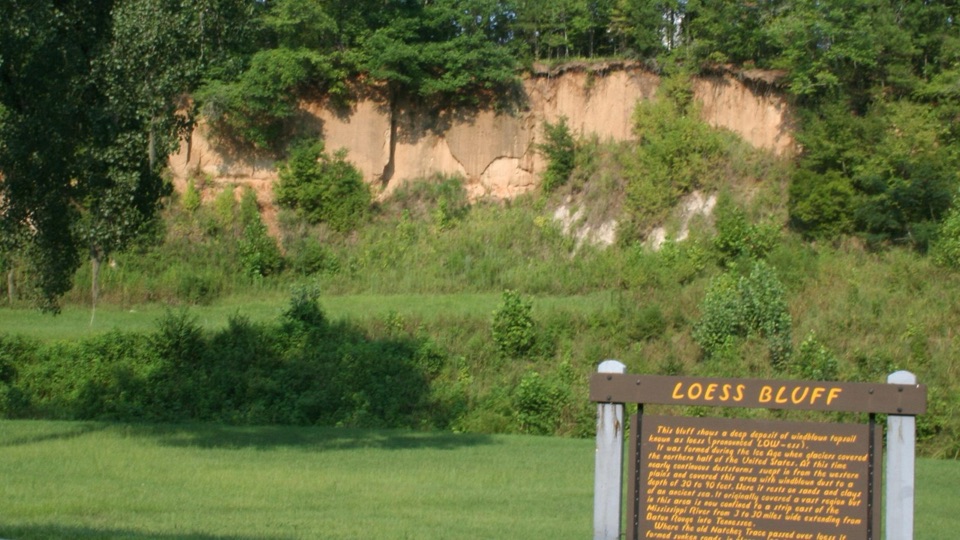 Sight · 3.5 mi awayLoess BluffExposed Ice Age dust that explains why the old Trace sank
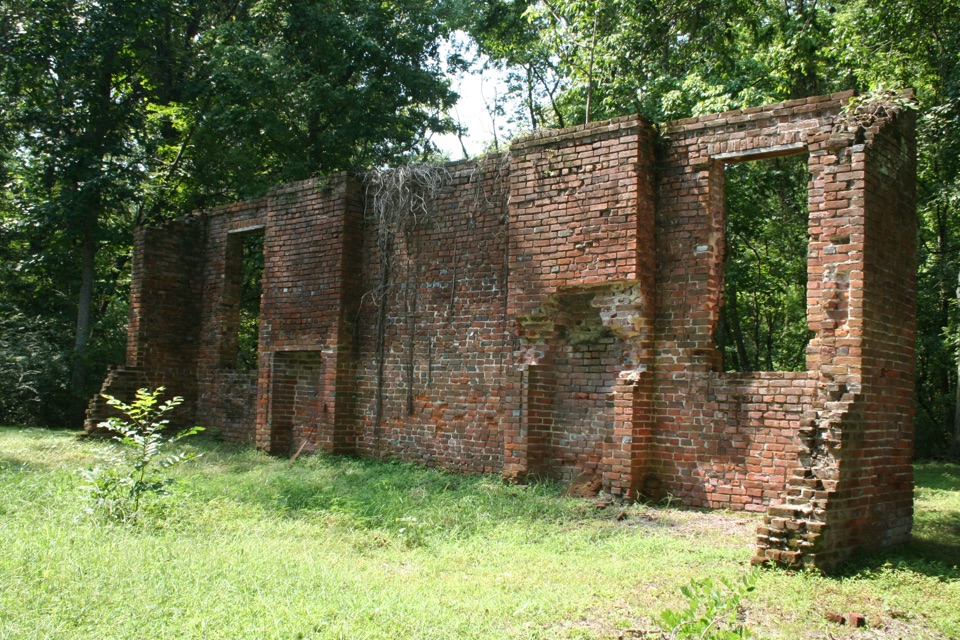
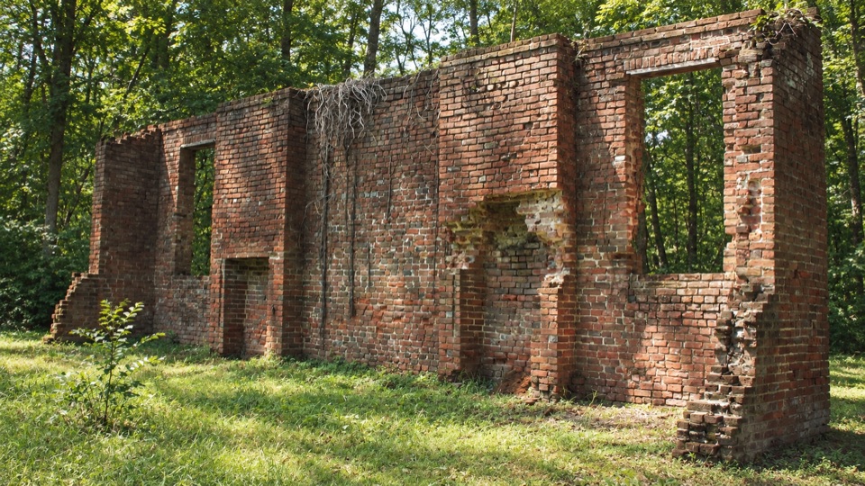 Sight · 3.6 mi awayElizabeth Female AcademyWooded brick ruins of Mississippi's first chartered women's college
Parkwolf’s Natchez Trace ranking
The audio tour guide for the drive, plus offline maps, trails, and wildlife heatmaps for when the signal drops.