Best time to go
The main tables are open and sunny; a table near the forest edge offers shade. One table sits on a cement pad for easier access. Bring water, since there are no water facilities listed here.
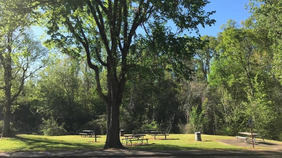
Picnic area · Natchez Trace Parkway
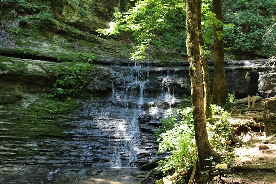
Grassy roadside picnic clearing with tables, grills, and creek sounds
Photo: NPS Photo / Brian Powers
Overview
This is a simple roadside picnic stop at milepost 12.1 on the southern end of the Trace, well suited to a packed lunch or a short break between drives. It is a place to stretch, eat, and listen rather than a destination in itself.
 Parkwolf’s verdictWhy stop here
Map
Plan your stop

The highest, rockiest slopes around here are a summer buffet for grizzly bears.
Natchez Trace Tour Guide
Parkwolf is a GPS audio tour guide for Natchez Trace Parkway. As you drive, it chimes in with what’s ahead: hidden gems, upcoming stops, history, geology, and wildlife, right through your car’s speakers.
See the Natchez Trace audio tourRecorded for this area
Loess Bluff“Up ahead is Loess Bluff, a roadside bank of fine dust blown here during the Ice Age. This soft soil helps explain the sunken Old Trace: feet, hooves, and wagon wheels wore the road below the surrounding ground.”
Plays on the road 0.3 mi from Turpin Creek Picnic Area in the Parkwolf Natchez Trace Tour Guide.
More stories near here in the app
“Fantastic app with many points of information… It’s great to just turn on while you’re driving and it gives you an audio tour of the national Park. We love it!!!!”


Guide
Facilities here are limited to picnic tables, grills, grass, and parking, so plan ahead rather than expecting services. The creek runs nearby and shapes the atmosphere, but the picnic clearing itself is the main view, and water is not the focus of the site.
Wildlife
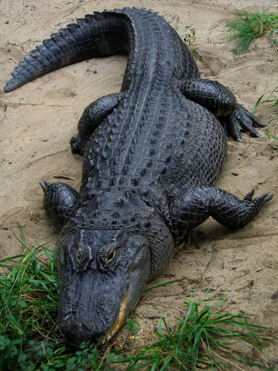 39 sightingsAmerican AlligatorMost seen around 6 PMSighting map
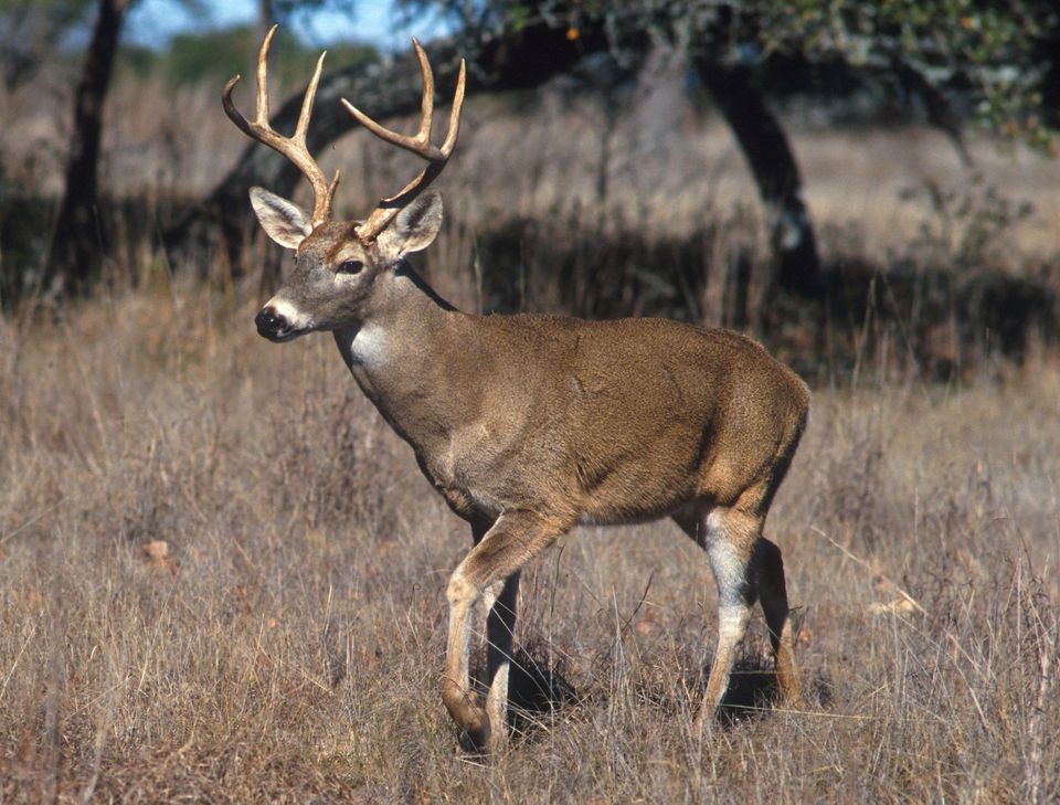 35 sightingsWhite-tailed DeerMost seen around 7 AMSighting map
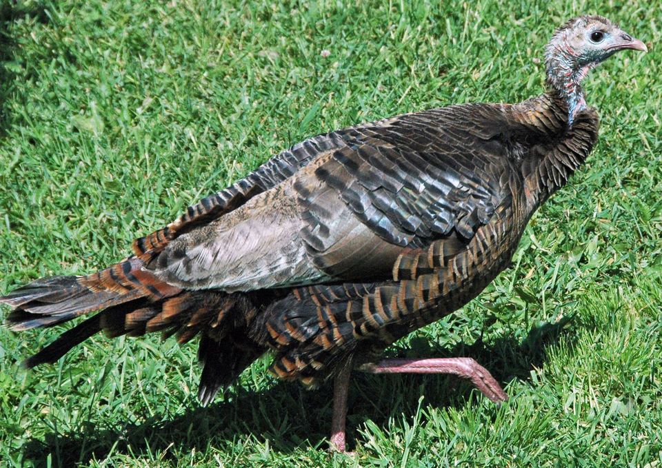 58 sightingsWild TurkeyMost seen around 7 AMSighting map
 30 sightingsGreat Blue HeronMost seen around 6 PMSighting map
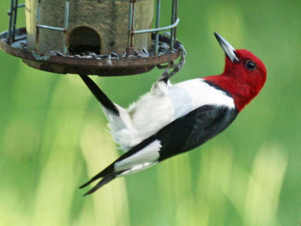 30 sightingsRed-headed WoodpeckerMost seen around 7 AMSighting map
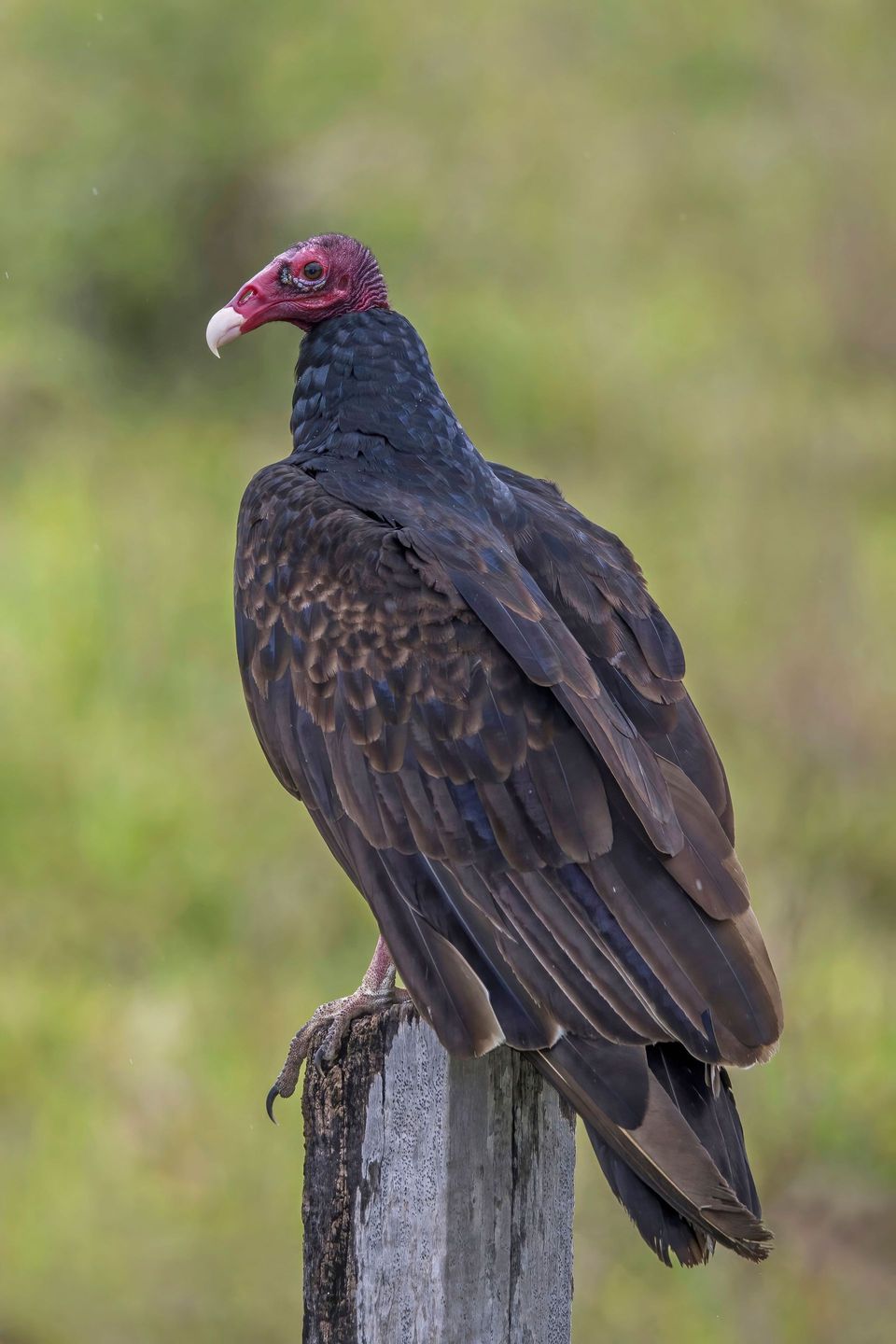 32 sightingsTurkey VultureMost seen around noonSighting map
Sighting maps show where each species has been reported across Natchez Trace. Wildlife moves, so no sighting is guaranteed.
Keep exploring
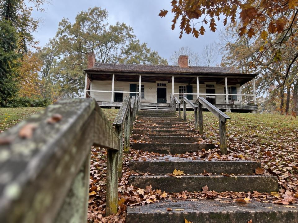 ModerateMount Locust Trail0.6 mi · 45 min · 3.3 mi awayShort history loop through Mount Locust's house, cemeteries and Old Trace.
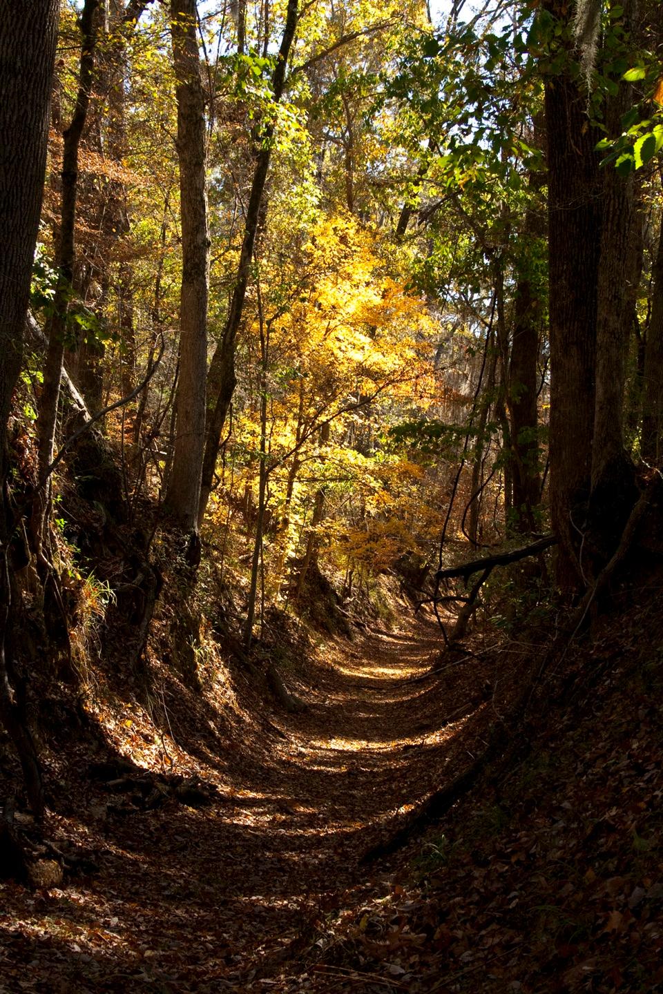 ModeratePotkopinu Section of the Natchez Trace National Scenic Trail3.4 mi · 1.8 hr · 4.8 mi awayWalk the longest remaining sunken stretch of the Old Trace
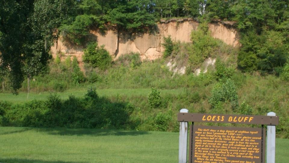 Sight · 0.3 mi awayLoess BluffExposed Ice Age dust that explains why the old Trace sank
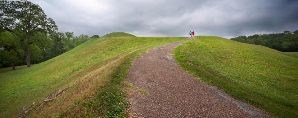 Sight · 2 mi awayEmerald MoundClimb the second-largest Mississippian ceremonial mound in the U.S.
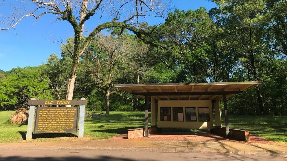 Sight · 3.2 mi awayOld Trace Exhibit ShelterRead the Old Trace story, then look across at the road itself
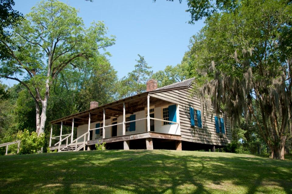 Sight · 3.3 mi awayMount Locust Historic HouseFrontier inn turned cotton plantation, with cemeteries a short walk away
Parkwolf’s Natchez Trace ranking
The audio tour guide for the drive, plus offline maps, trails, and wildlife heatmaps for when the signal drops.