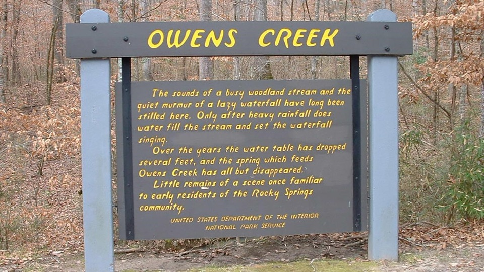
Owens Creek Waterfall in Natchez Trace Parkway

Sight · Natchez Trace Parkway

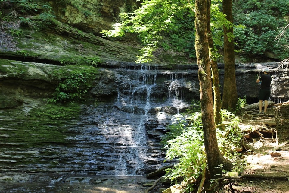
Owens Creek Waterfall

Milepost 52.4 stop where a rain-fed fall and trail begin

Photo: National Park Service
Type
Sight
Nearest trail
2.1 mi
Audio stories
3 nearby
  • Parking
  • Trailhead

Hear the audio tour

Owens Creek Waterfall

Overview

About Owens Creek Waterfall

Why stop

  • Seasonal waterfall chance after heavy rain
  • Easy fit in a longer Parkway drive

Heads up

  • Usually dry or only a trickle
  • Erosion can limit access toward the base
This is a short, low-effort stop at milepost 52.4 on the Natchez Trace Parkway, between Hermanville and Port Gibson. Two things make it worth pulling over: the seasonal Owens Creek waterfall, and the fact that this is the southern terminus of the Rocky Springs Section of the Natchez Trace National Scenic Trail.
Parkwolf’s verdictWhy stop here

Map

Where it is

Loading the Natchez Trace map
Full map
SightOwens Creek Waterfall32.06065, -90.82596
Keep this map with you offline in the Parkwolf app

Plan your stop

Before you go

Best time to go

  • Come after substantial rainfall if seeing water is the point. Heavy rain is the meaningful condition for flow, and there is no way to guarantee it on any given day.
  • Arrive with good daylight. The setting is wooded and shaded, which makes footing and photos harder late in the day.
  • Wear shoes with grip and watch your footing on uneven, eroded ground.

Safety and access

  • The area can be unstable due to erosion, so stay on established ground and behind any posted barriers or fencing near the drop.
  • Check trail conditions before hiking and respect trail closures.
  • Treat older descriptions of routes down toward the base of the falls as history, not a promise of access.

4 active Natchez Trace alerts

  • ClosureParkway sections closed for bridge and road constructionTwo Natchez Trace Parkway sections are closed to through traffic; follow the signed detours.Official details
  • ClosureMount Locust historic stand closedThe historic stand at Mount Locust Inn & Plantation (MP 15.5) is closed because of structural concerns.Official details
See all 4 alerts
A park ranger sits on a dash-mounted phone, talking, as Parkwolf’s Tour Guide plays “Army Cutworm Moths: A Grizzly Bear Buffet” on Grand Loop Road below Dunraven Pass in Yellowstone
Parkwolf Tour GuideThe highest, rockiest slopes around here are a summer buffet for grizzly bears.

Natchez Trace Tour Guide

Your drive to Owens Creek Waterfall, narrated.

Parkwolf is a GPS audio tour guide for Natchez Trace Parkway. As you drive, it chimes in with what’s ahead: hidden gems, upcoming stops, history, geology, and wildlife, right through your car’s speakers.

Recorded for this place

Owens Creek Waterfall
0:00 / 0:23
“You're coming up on Owens Creek, where the waterfall runs only after heavy rain. The spring that once fed the creek has nearly disappeared as the water table fell, so expect a quiet wooded stream bed on a dry day.”

Plays as you drive up to Owens Creek Waterfall in the Parkwolf Natchez Trace Tour Guide.

More stories near here in the app

  • The Dust Beneath the Road
  • The Missing Majority at Rocky Springs
  • Rocky Springs Historic Site
  • The Red Bird with Black Wings
  • 272 audio storiesacross Natchez Trace’s roads, triggered by GPS as you drive
  • Wildlife heatmapsfor American Alligator, White-tailed Deer, Wild Turkey, and 9 more
  • Works offlinemaps, 26 trails, 62 places, and audio download before you lose signal
  • CarPlay readysimple controls built for the drive
★★★★★
“Fantastic app with many points of information… It’s great to just turn on while you’re driving and it gives you an audio tour of the national Park. We love it!!!!”
JMJamesApp Store review
Download Parkwolf on the App StoreGet Parkwolf on Google Play

4.7 from 8,600+ ratings

Guide

More about Owens Creek Waterfall

What you will actually seeExpect a quiet wooded setting, the Owens Creek sign, and a streambed that is often still.

Expect a quiet wooded setting, the Owens Creek sign, and a streambed that is often still. The busy woodland stream and its lazy waterfall have long been stilled here. Over the years the water table dropped several feet and the spring that fed Owens Creek has all but disappeared, so water fills the stream only after heavy rainfall. In dry conditions you are looking at rock, leaf litter and trees rather than falling water.

How it differs from a normal pulloutMost Parkway pullouts are a view and a sign.

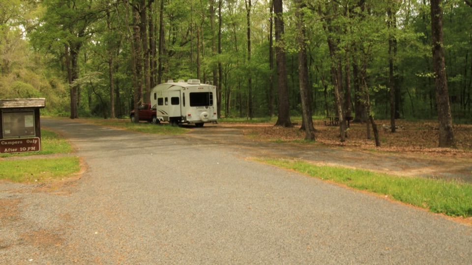
Most Parkway pullouts are a view and a sign. This one is a working trailhead with auto and bus/RV parking, so it doubles as a starting point rather than just a photo stop. From here the trail runs 6 miles north to the section's northern terminus, an optional add-on if you want a real hike rather than a quick leg stretch.

Honest expectationsPros: it is an easy, well-placed break on a Parkway drive, it is the exact trailhead if you…

Pros: it is an easy, well-placed break on a Parkway drive, it is the exact trailhead if you want the 6 mile walk north, and after heavy rain you may catch the falls running.

Cons: the waterfall is usually dry or a trickle, and erosion with unstable ground limits how close you can get toward the base. Fold it into a longer Parkway itinerary rather than driving out for the waterfall alone.

Wildlife

Wildlife in Natchez Trace

All Natchez Trace wildlife maps

Sighting maps show where each species has been reported across Natchez Trace. Wildlife moves, so no sighting is guaranteed.

Parkwolf’s Natchez Trace ranking

Top sights in Natchez Trace

All 62 places
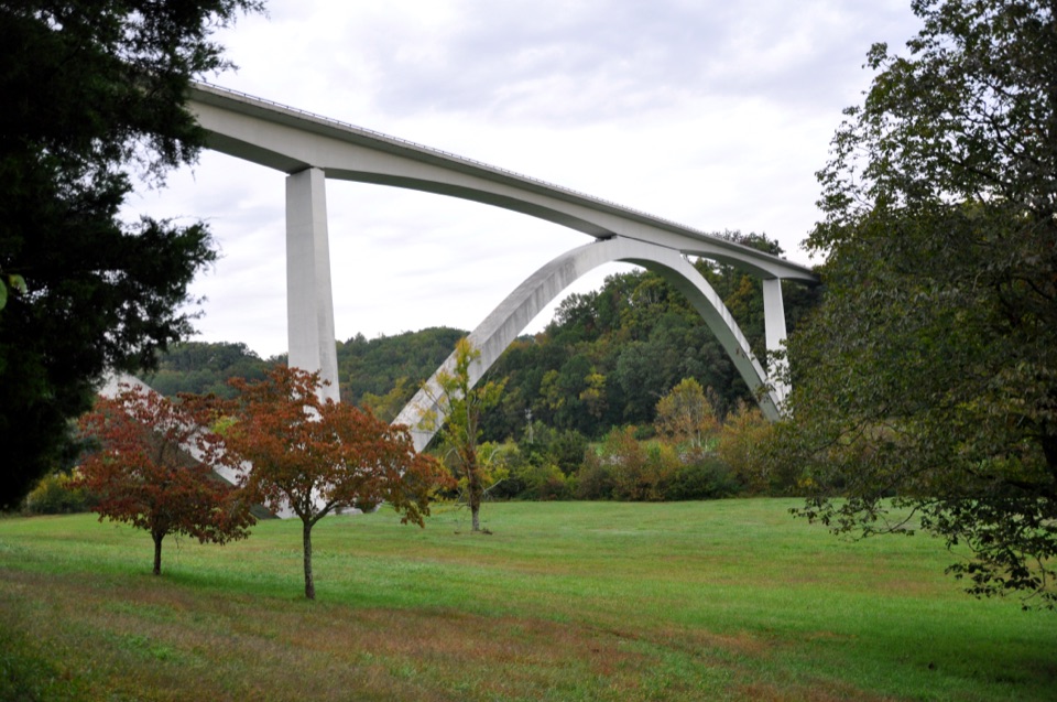
  1. 1Double Arch Bridge at Birdsong HollowSight
  2. 2Cypress SwampSight
  3. 3Jackson FallsSight
  4. 4Emerald MoundSight
  5. 5Reservoir OverlookSight
  6. 6Mount Locust Historic HouseSight

Take Parkwolf to Natchez Trace.

The audio tour guide for the drive, plus offline maps, trails, and wildlife heatmaps for when the signal drops.

4.7 from 8,600+ ratings

Download Parkwolf on the App StoreGet Parkwolf on Google Play