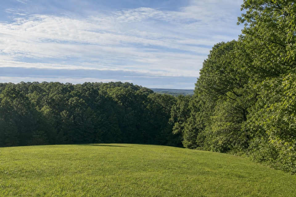
Parking
From Natchez Trace Parkway Milepost 54.8, take the Rocky Springs site road to its end. Parking and the town-site trailhead are there; the nearby picnic area is a separate access point.
#9 of 26 trails in Natchez Trace
Natchez Trace Parkway, MS · AL · TN
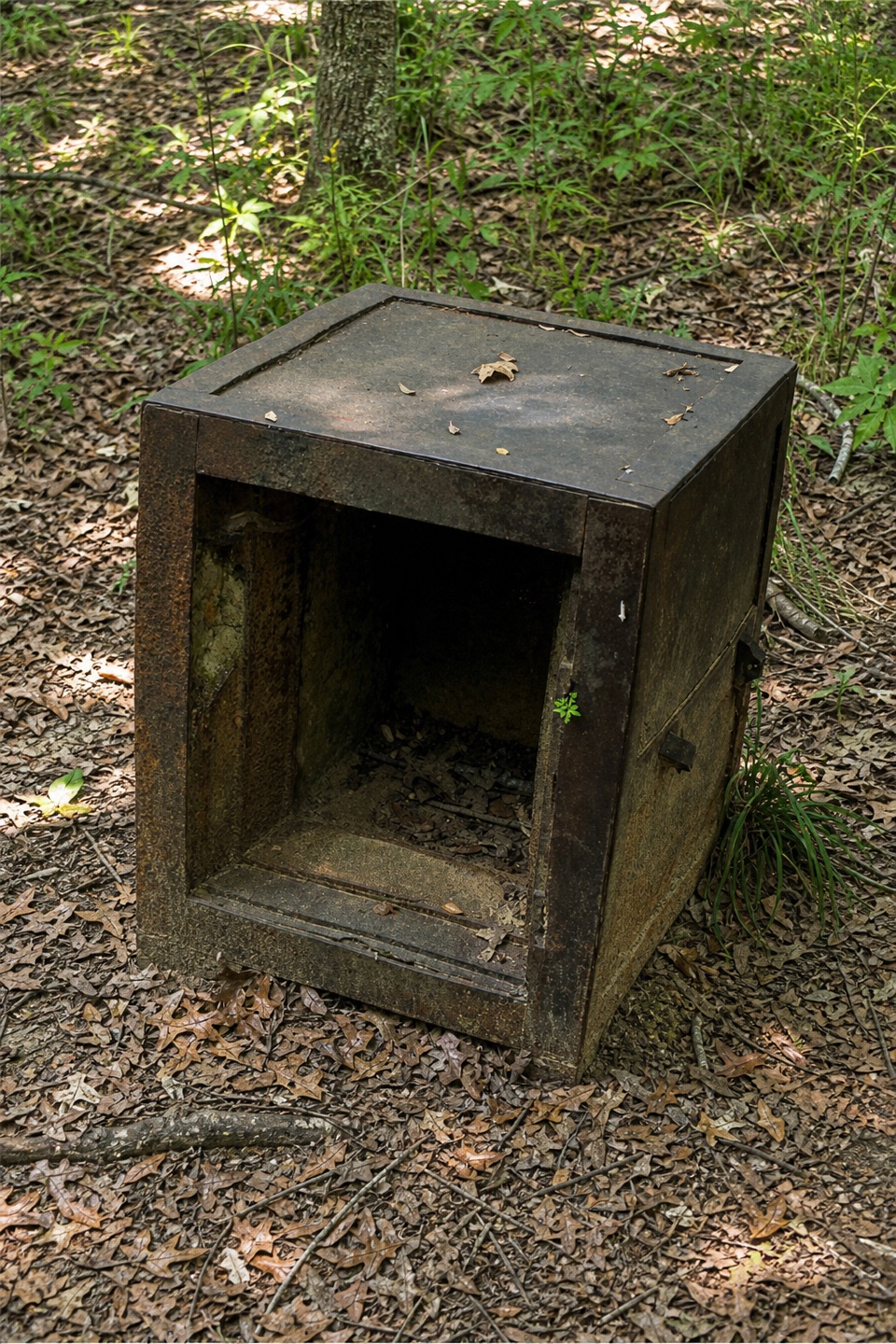
Old safes and cisterns make this vanished town worth the walk.
Overview
Map & elevation
Plan your hike

The highest, rockiest slopes around here are a summer buffet for grizzly bears.
Natchez Trace Tour Guide
Parkwolf is a GPS audio tour guide for Natchez Trace Parkway. As you drive, it chimes in with what’s ahead: hidden gems, upcoming stops, history, geology, and wildlife, right through your car’s speakers.
Recorded for this trailhead
Rocky Springs Historic Site“You're approaching the turnoff for Rocky Springs, where a side road leads to the remains of a once-busy town. Around 1860, roughly 2,600 people lived in the surrounding community.”
Plays as you drive up to this trailhead in the Parkwolf Natchez Trace Tour Guide.
More stories near here in the app
“Fantastic app with many points of information… It’s great to just turn on while you’re driving and it gives you an audio tour of the national Park. We love it!!!!”


Trail guide
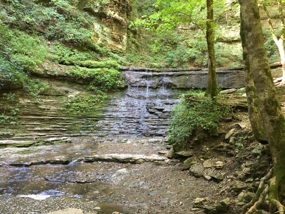
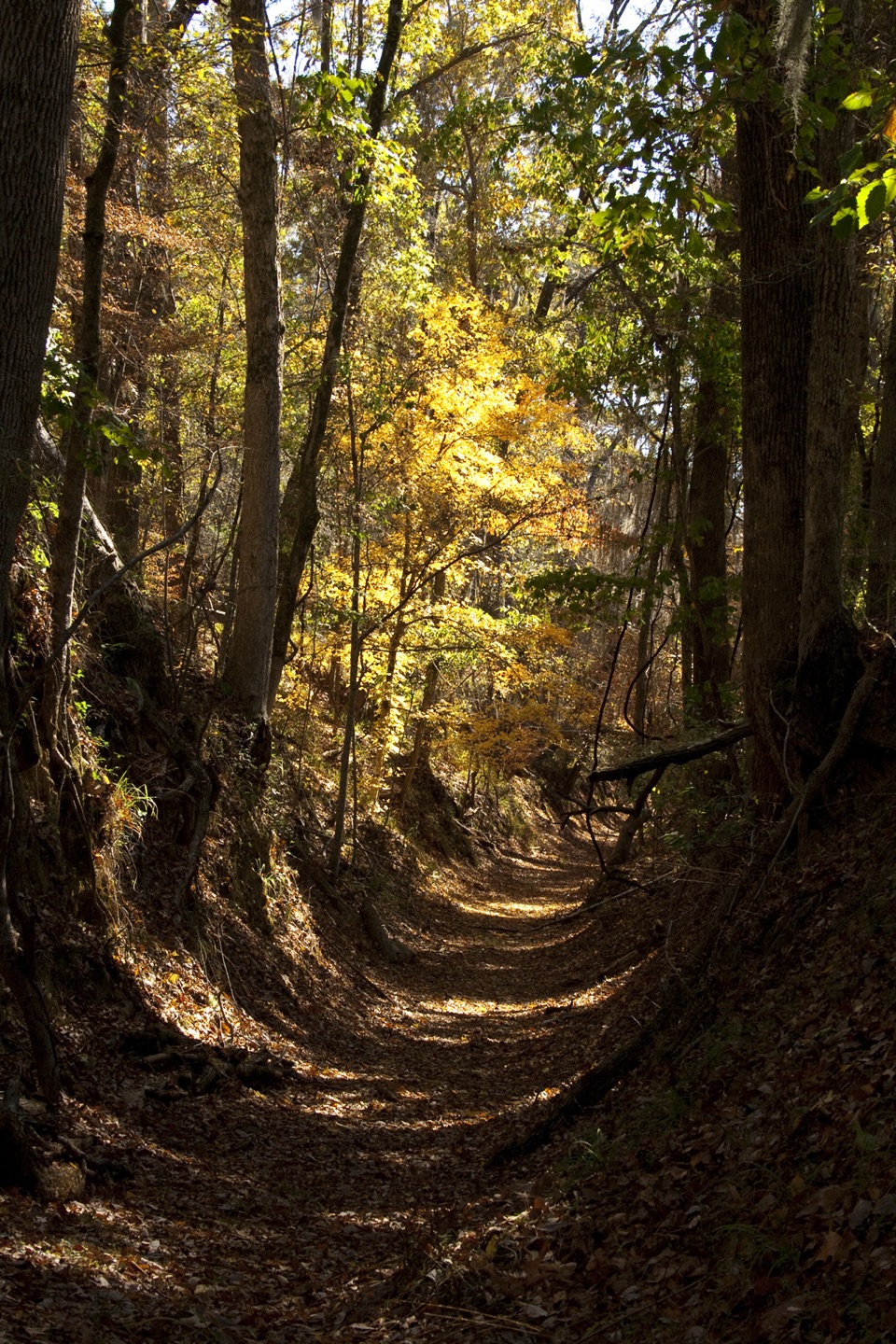
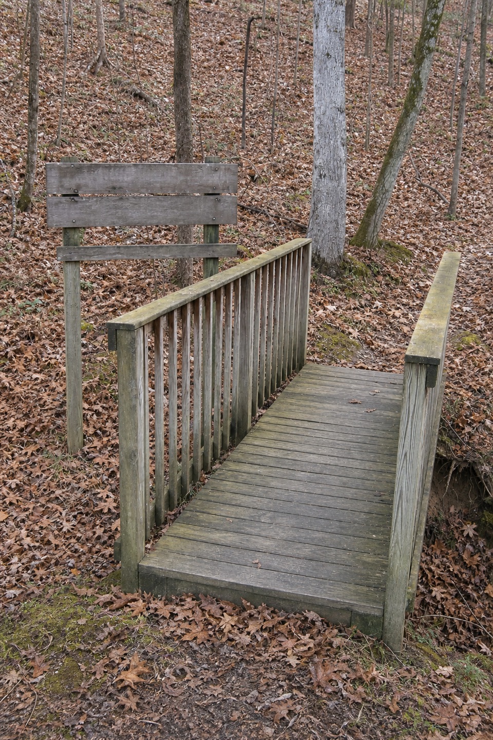
Rocky Springs Town Site Trail is a roughly quarter-mile loop through the remains of a once-busy Mississippi community, reached by a short access path from the parking area at the end of the Rocky Springs site road. The walk follows that connector to the town-site loop and retraces it on the way back. It is separate from the loop by the spring and the much longer Rocky Springs section of the Natchez Trace National Scenic Trail. Allow about 30 minutes to walk and stop at the interpretive displays.
Rocky Springs once covered about 25 square miles. Settlement began in the late 1790s and, by around 1860, about 2,600 people lived here. The town lost residents after the Civil War; yellow fever killed 43 people in 1878, and boll weevils later devastated the cotton crop. The last store closed in the 1930s. This is not a preserved main street: two rusting safes and several abandoned cisterns are among the few remains. The safes and cisterns make the story tangible, so take a moment with them instead of expecting a village of standing buildings. The spring that gave Rocky Springs its name no longer flows. The church and cemetery beside the mapped loop are on private property; stay on the public path and do not enter without permission.
The site road leaves Natchez Trace Parkway at Milepost 54.8; continue to its end for the Town Site parking and trailhead. The NPS lists auto parking and a restroom at the historic site, with picnic tables at the nearby picnic area. Food service is not listed here. Dogs are allowed on Parkway trails on a leash no longer than six feet. The short loop sits apart from the nearby spring walk and National Scenic Trail access, so follow the town-site route rather than mileage for those other hikes.
Wildlife
 39 sightingsAmerican AlligatorMost seen around 6 PMSighting map
 35 sightingsWhite-tailed DeerMost seen around 7 AMSighting map
 53 sightingsWild TurkeyMost seen around 7 AMSighting map
 28 sightingsGreat Blue HeronMost seen around 6 PMSighting map
 29 sightingsRed-headed WoodpeckerMost seen around 7 AMSighting map
 32 sightingsTurkey VultureMost seen around noonSighting map
Sighting maps show where each species has been reported across Natchez Trace. Wildlife moves, so no sighting is guaranteed.
Keep exploring
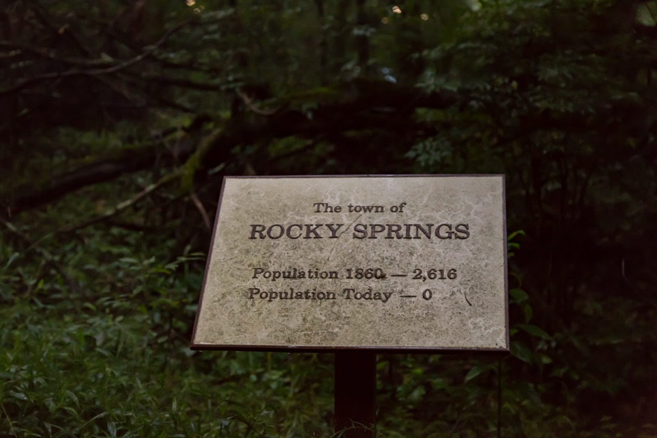 Sight · 0.1 mi awayRocky Springs Historic SiteVanished cotton town: church, cemetery, rusting safes, old cisterns
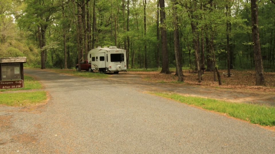 Campground · 0.8 mi awayRocky Springs CampgroundQuiet 22-site woodland camp beside the Old Trace and old town
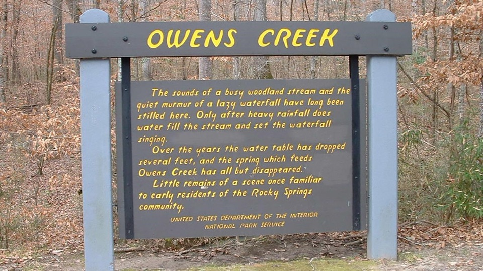 Sight · 2.1 mi awayOwens Creek WaterfallMilepost 52.4 stop where a rain-fed fall and trail begin
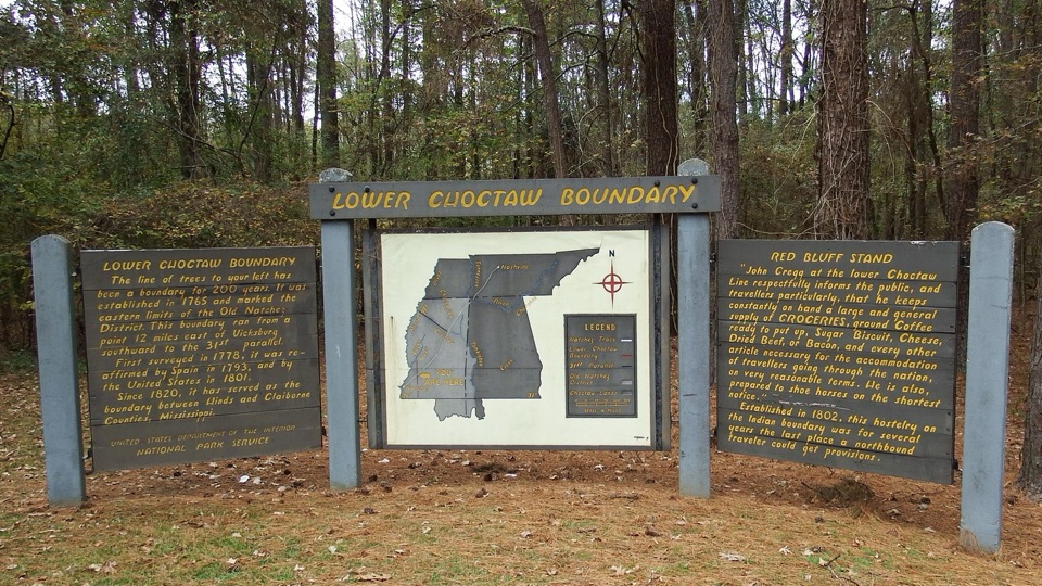 Historic marker · 6.6 mi awayLower Choctaw BoundaryTwo panels and a map explain a boundary held for two centuries
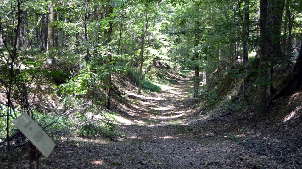 Sight · 7.6 mi awayGrindstone FordSunken frontier road to the bayou that once divided two nations
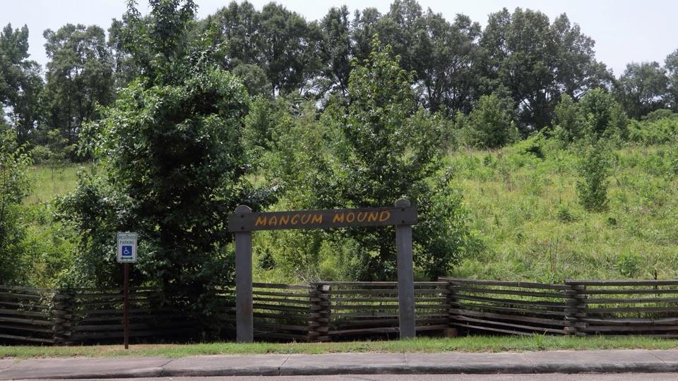 Sight · 8.4 mi awayMangum MoundSacred burial mound raised nearly 1,000 years ago at milepost 45.7
Parkwolf’s Natchez Trace ranking

The audio tour guide for the drive, plus offline maps, trails, and wildlife heatmaps for when the signal drops.