Rocky Springs Historic Site in Natchez Trace Parkway

Sight · Natchez Trace Parkway

Rocky Springs Historic Site

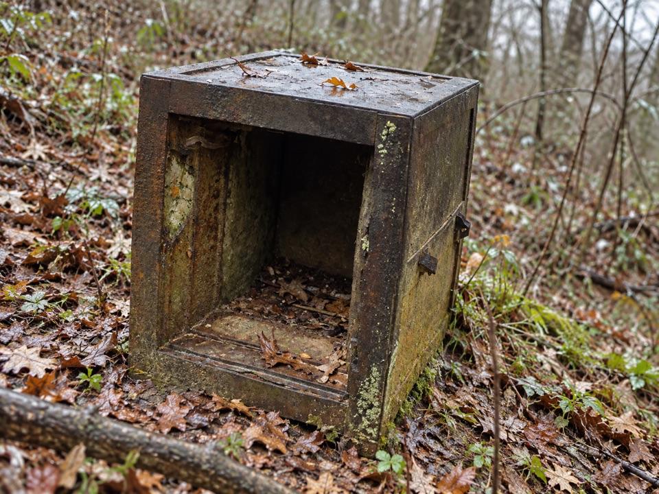
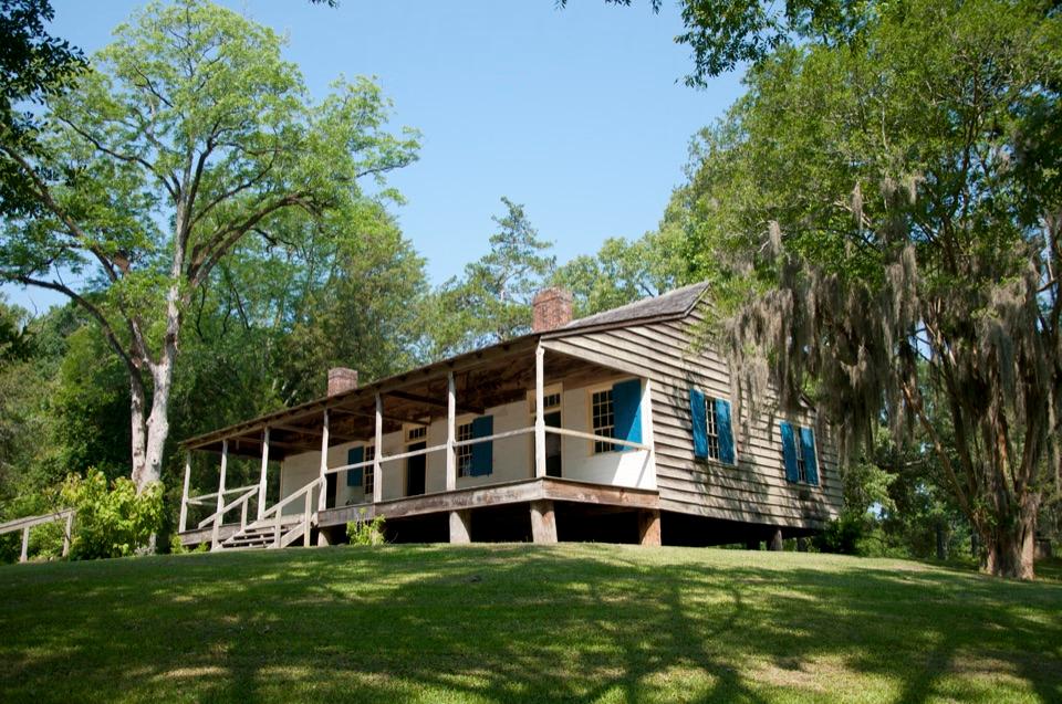
Vanished cotton town: church, cemetery, rusting safes, old cisterns

Photo: Tony Webster, CC BY-SA 2.0

Type
Sight
Nearest trail
0.1 mi
Audio stories
3 nearby
  • Exhibit
  • Parking
  • Restrooms
  • Trailhead
  • #20 of 55 sights

Hear the audio tour

Rocky Springs Historic Site
Download Parkwolf on the App StoreGet Parkwolf on Google Play

4.7 from 8,600+ ratings

Overview

About Rocky Springs Historic Site

Why stop

  • Church, cemetery, safes, and cisterns give the story tangible remains

Heads up

  • Very little of the town survives
Rocky Springs is the site of a vanished rural community at milepost 54.8, where a short walk leads past traces of the old town to a church and cemetery. Come for the story and the small details: there is no intact town to tour, but the church, rusting safes and old cisterns make the history tangible.
Parkwolf’s verdictWhy stop

Map

Where it is

Loading the Natchez Trace map
Full map
SightRocky Springs Historic Site32.08977, -90.81348
Keep this map with you offline in the Parkwolf app

Plan your stop

Before you go

3 active Natchez Trace alerts

  • CautionRocky Springs Campground water is non-potableMentions Rocky Springs Campground, referenced in this guideDo not drink the water at the Rocky Springs Campground Comfort Station (MP 54.8); it is non-potable. - Visitors may still use the facilities. Check current road and site status before traveling.Official details
  • ClosureParkway closure at MP 159.5–165The Parkway is closed from State Highway 19/35 (MP 159.5) to State Highway 12 (MP 165) for road reconstruction; use the seven-mile detour.Official details

See all 3 alerts
A park ranger sits on a dash-mounted phone, talking, as Parkwolf’s Tour Guide plays “Army Cutworm Moths: A Grizzly Bear Buffet” on Grand Loop Road below Dunraven Pass in Yellowstone
Parkwolf Tour GuideThe highest, rockiest slopes around here are a summer buffet for grizzly bears.

Natchez Trace Tour Guide

Your drive to Rocky Springs Historic Site, narrated.

Parkwolf is a GPS audio tour guide for Natchez Trace Parkway. As you drive, it chimes in with what’s ahead: hidden gems, upcoming stops, history, geology, and wildlife, right through your car’s speakers.

See the Natchez Trace audio tour

Recorded for this place

Rocky Springs Historic Site
0:00 / 0:34
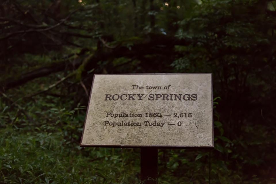
“You're approaching the turnoff for Rocky Springs, where a side road leads to the remains of a once-busy town. Around 1860, roughly 2,600 people lived in the surrounding community.”

Plays as you drive up to Rocky Springs Historic Site in the Parkwolf Natchez Trace Tour Guide.

More stories near here in the app

  • The Missing Majority at Rocky Springs
  • The Pest Inside the Cotton
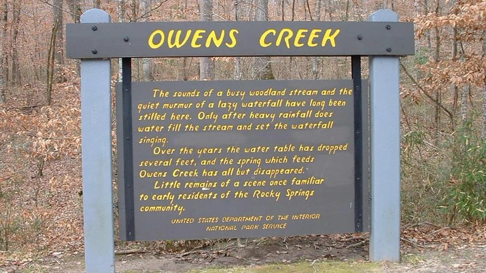
  • Owens Creek Waterfall
  • The Dragonfly’s Empty Shell
  • 272 audio storiesacross Natchez Trace’s roads, triggered by GPS as you drive
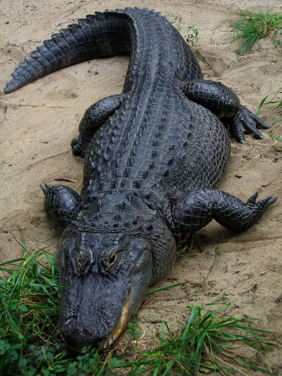
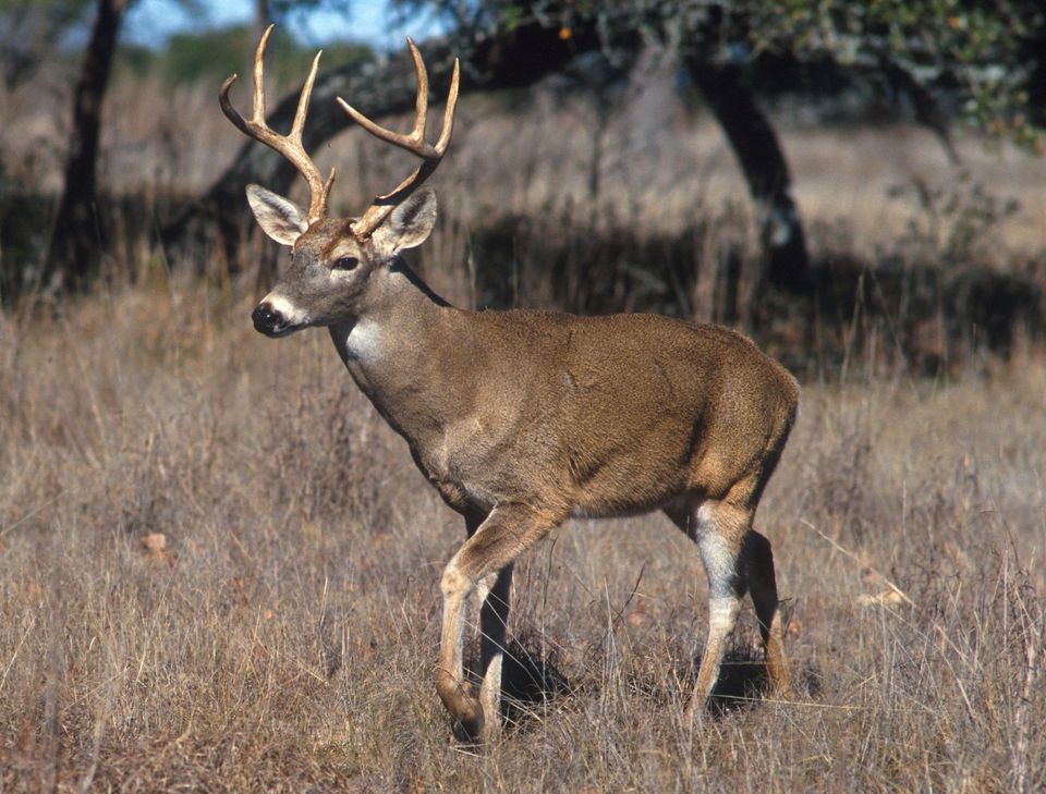
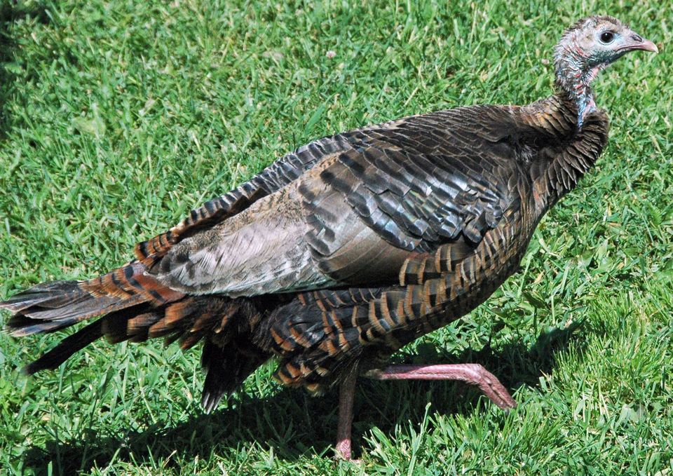
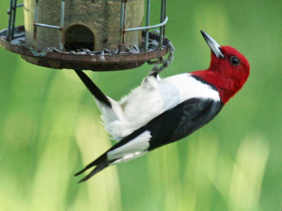
  • Wildlife heatmapsfor American Alligator, White-tailed Deer, Wild Turkey, and 9 more
  • Works offlinemaps, 26 trails, 79 places, and audio download before you lose signal
  • CarPlay readysimple controls built for the drive
★★★★★
“Fantastic app with many points of information… It’s great to just turn on while you’re driving and it gives you an audio tour of the national Park. We love it!!!!”
JMJamesApp Store review
Download Parkwolf on the App StoreGet Parkwolf on Google Play

4.7 from 8,600+ ratings

Guide

More about Rocky Springs Historic Site

What remainsFollow the short town-site trail from the Rocky Springs area and look for the two old bank…

Follow the short town-site trail from the Rocky Springs area and look for the two old bank safes and abandoned cisterns. A third safe is displayed at the information center. The church and cemetery are on private land, reached by a side trail, and are open to visitors. The nearby spring that gave the community its name no longer flows.

A community and its declineEarly travelers called the area “the Rocky Spring.”

Early travelers called the area “the Rocky Spring.” Settlement began in the late 1790s, and the community eventually covered about 25 square miles, with a peak population of roughly 2,600. By the mid-1800s it had a church, post office and Masonic lodge; local trades included blacksmithing, carpentry and cotton-gin making.

The Civil War damaged the area, and yellow fever struck in the 1870s. Boll weevils later devastated the cotton crop, and the last local store closed in the 1930s.

Make the stop workThere is parking, a restroom and interpretation at the town-site area.

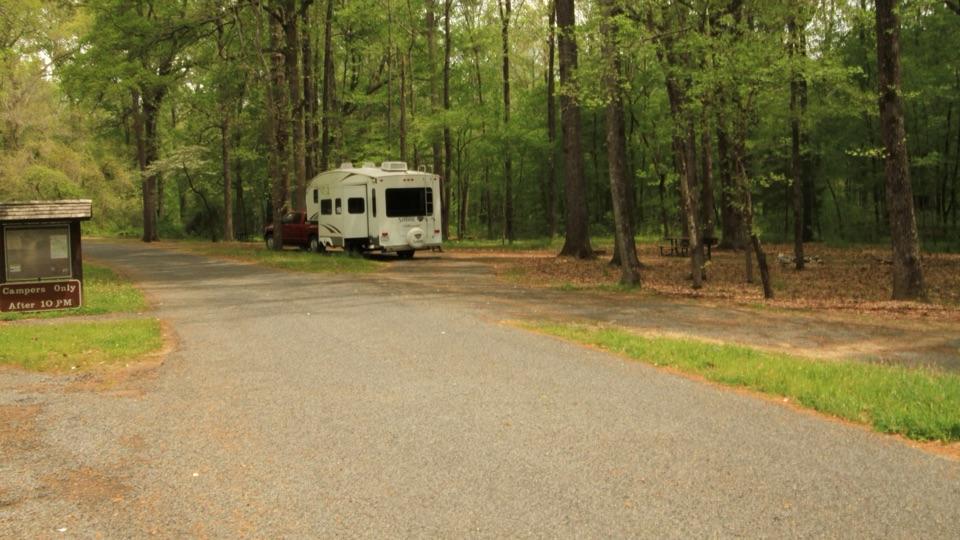
There is parking, a restroom and interpretation at the town-site area. The adjacent picnic area has tables and is also a trailhead for the Natchez Trace National Scenic Trail; a short stretch of the Old Trace is nearby. Rocky Springs Campground has 22 first-come, first-served sites with restrooms and picnic tables. Check the current water status before relying on it.

This is a good stop on a longer Parkway drive if you enjoy reading the landscape for traces of the past. If you are hoping to walk through a preserved town, expect much less to be standing.

Wildlife

Wildlife in Natchez Trace

All Natchez Trace wildlife maps

Sighting maps show where each species has been reported across Natchez Trace. Wildlife moves, so no sighting is guaranteed.

Parkwolf’s Natchez Trace ranking

Top sights in Natchez Trace

All 79 places
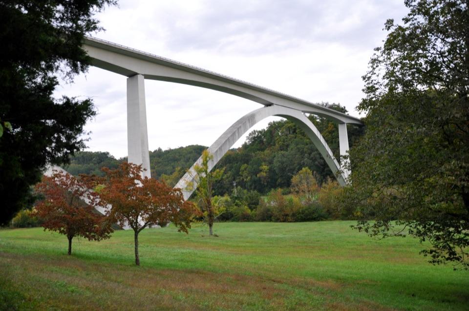
  1. 1Double Arch Bridge at Birdsong HollowSight
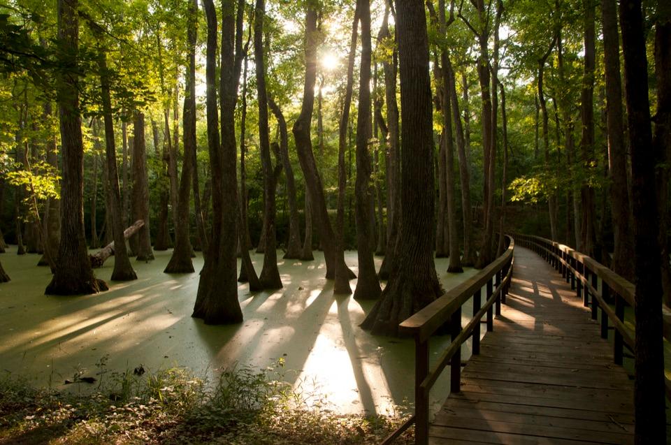
  2. 2Cypress SwampSight
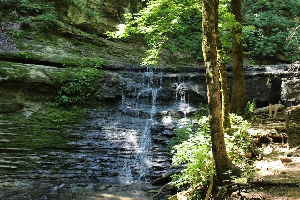
  3. 3Jackson FallsSight
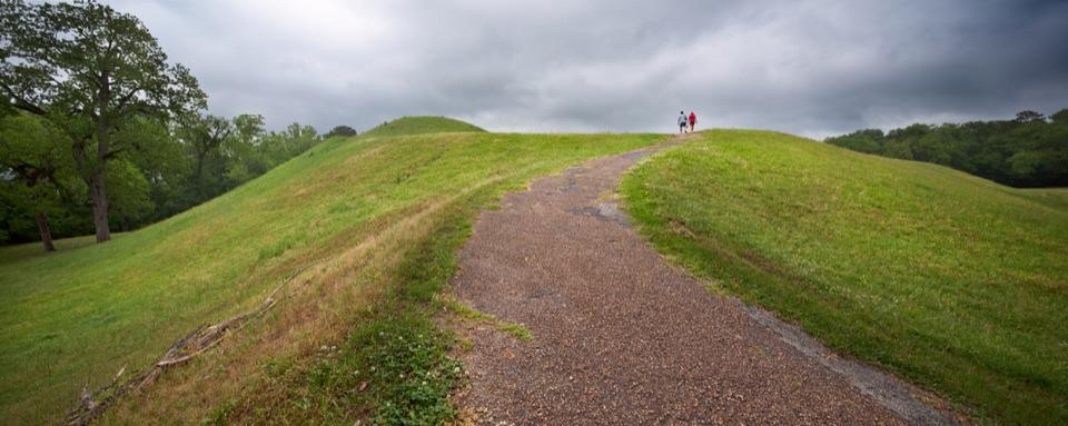
  4. 4Emerald MoundSight
  5. 5Reservoir OverlookSight
  6. 6Mount Locust Historic HouseSight

Take Parkwolf to Natchez Trace.

The audio tour guide for the drive, plus offline maps, trails, and wildlife heatmaps for when the signal drops.

4.7 from 8,600+ ratings

Download Parkwolf on the App StoreGet Parkwolf on Google Play