Bear Creek Trail in Natchez Trace Parkway

Natchez Trace Parkway, MS · AL · TN

Bear Creek Trail

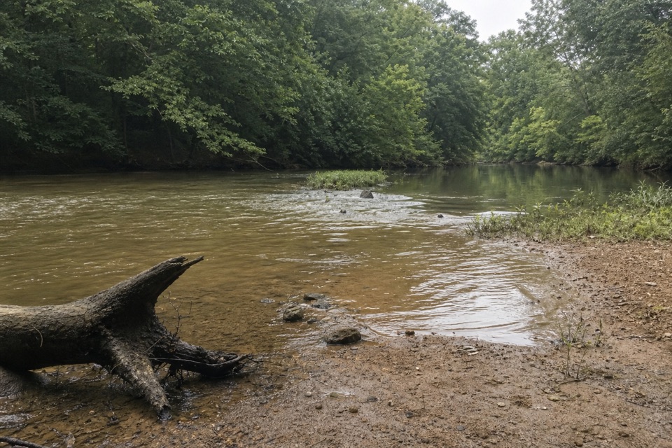
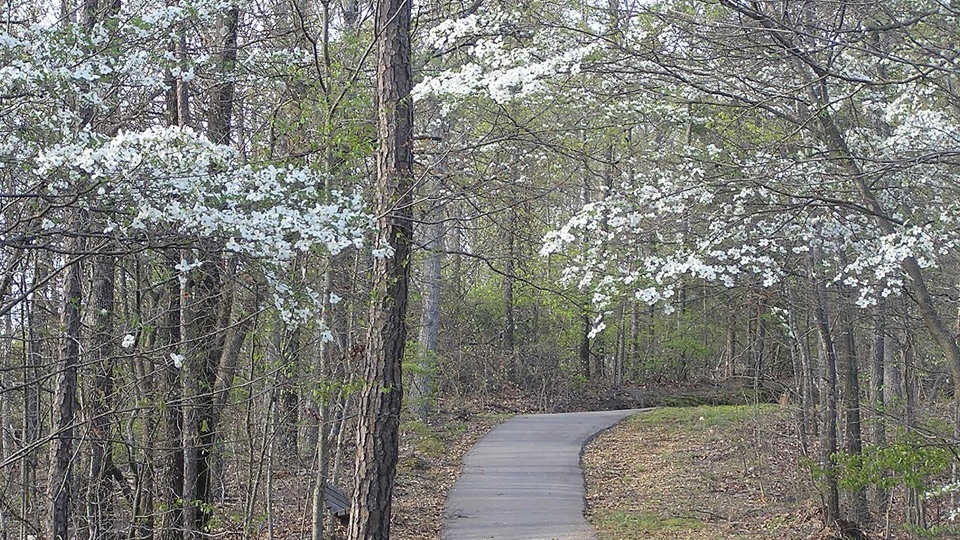
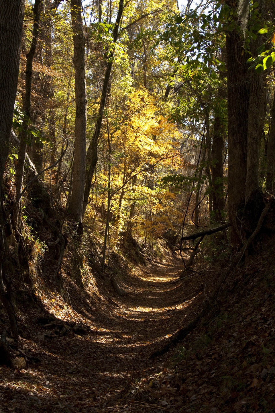
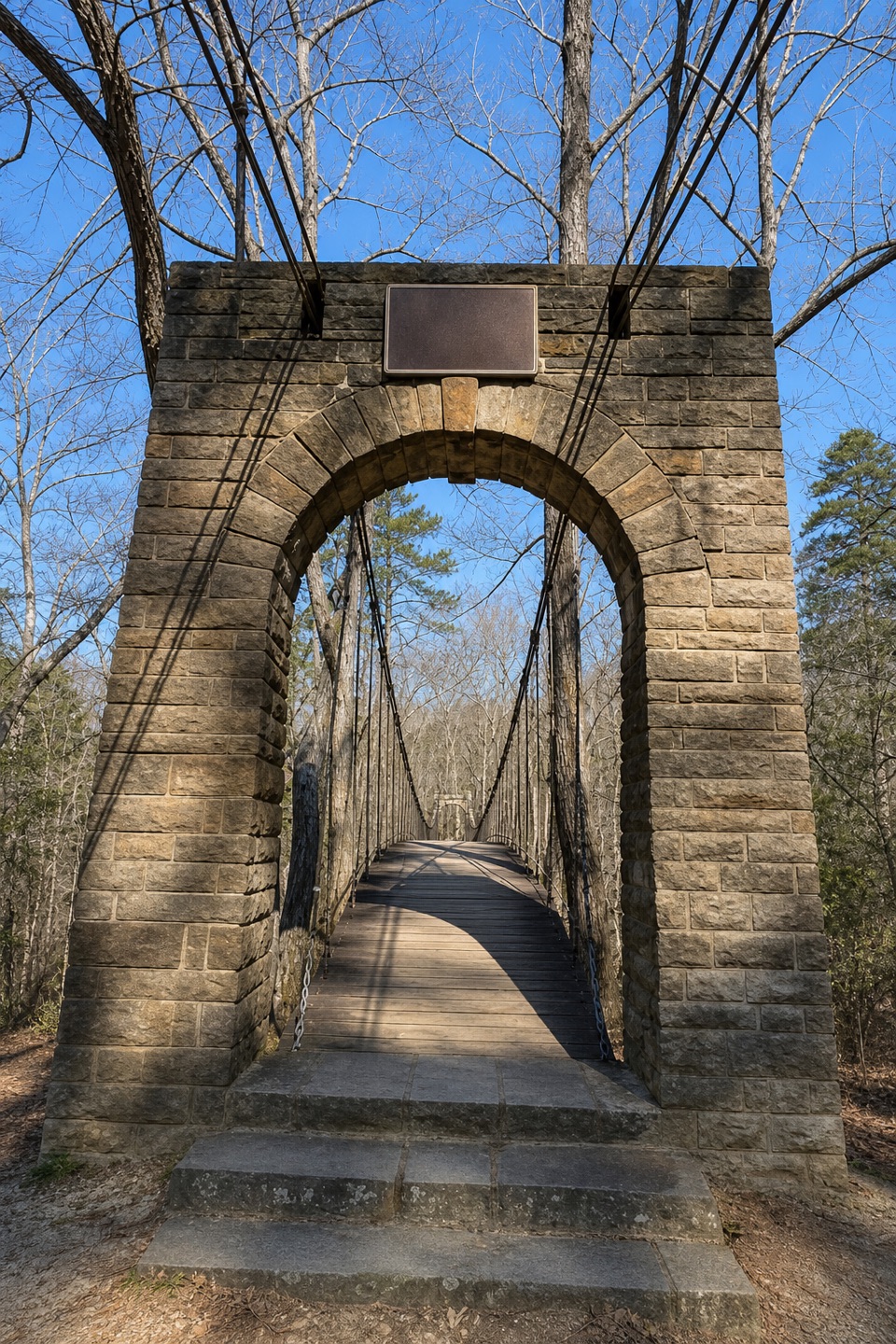
A wooded path beside Bear Creek ends at a historic swinging bridge.

Length
0.9mi
Time
30min
Elev. change
63ft
Difficulty
Easy
  • Dogs allowed
  • High point 507 ft

Hear the audio tour

Tishomingo State Park Trails

Overview

About Bear Creek Trail

Why go

  • Follows Bear Creek to the park’s 1938 suspension bridge.

Heads up

  • Point-to-point; a one-car hike requires retracing the route.

Map & elevation

The route

Loading the Natchez Trace map
Full map
Elevation445–507 ft
TrailheadBear Creek Trailhead34.60546, -88.19300
Keep this map with you offline in the Parkwolf app

Plan your hike

Before you go

Parking

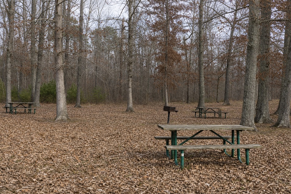
The mapped Bear Creek Trailhead is at the Pioneer Cabin-side junction with the CCC Camp and CCC Pond trails; no dedicated lot there was verified. The park confirms parking at the swimming-pool day-use area and the Swinging Bridge Area at the opposite end. With one vehicle, use an east-side lot, walk the trail in reverse, and retrace it. The park address is 105 County Road 90, Tishomingo, Mississippi.


Safety

Pets must remain leashed; they are not permitted in the Family Cabin or Group Camp areas or in state buildings.

4 active Natchez Trace alerts

  • ClosureParkway sections closed for bridge and road constructionTwo Natchez Trace Parkway sections are closed to through traffic; follow the signed detours.Official details
  • ClosureMount Locust historic stand closedThe historic stand at Mount Locust Inn & Plantation (MP 15.5) is closed because of structural concerns.Official details
See all 4 alerts
A park ranger sits on a dash-mounted phone, talking, as Parkwolf’s Tour Guide plays “Army Cutworm Moths: A Grizzly Bear Buffet” on Grand Loop Road below Dunraven Pass in Yellowstone
Parkwolf Tour GuideThe highest, rockiest slopes around here are a summer buffet for grizzly bears.

Natchez Trace Tour Guide

Your drive to Bear Creek Trail, narrated.

Parkwolf is a GPS audio tour guide for Natchez Trace Parkway. As you drive, it chimes in with what’s ahead: hidden gems, upcoming stops, history, geology, and wildlife, right through your car’s speakers.

Recorded for this trailhead

Tishomingo State Park Trails
0:00 / 0:29
“You're approaching the access road for Tishomingo State Park; the trails and swinging bridge are farther inside.”

Plays as you drive up to this trailhead in the Parkwolf Natchez Trace Tour Guide.

More stories near here in the app

  • The Heron That Uses Bait
  • The Creek Below the Bluffs
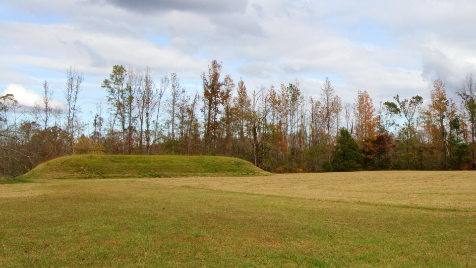
  • The Mound Rebuilt from Its Edges
  • The Rocks Beyond the Bridge
  • 272 audio storiesacross Natchez Trace’s roads, triggered by GPS as you drive
  • Wildlife heatmapsfor American Alligator, White-tailed Deer, Wild Turkey, and 9 more
  • Works offlinemaps, 26 trails, 62 places, and audio download before you lose signal
  • CarPlay readysimple controls built for the drive
★★★★★
“Fantastic app with many points of information… It’s great to just turn on while you’re driving and it gives you an audio tour of the national Park. We love it!!!!”
JMJamesApp Store review
Download Parkwolf on the App StoreGet Parkwolf on Google Play

4.7 from 8,600+ ratings

Trail guide

Hiking Bear Creek Trail

A short creekside pathBear Creek Trail is a 0.

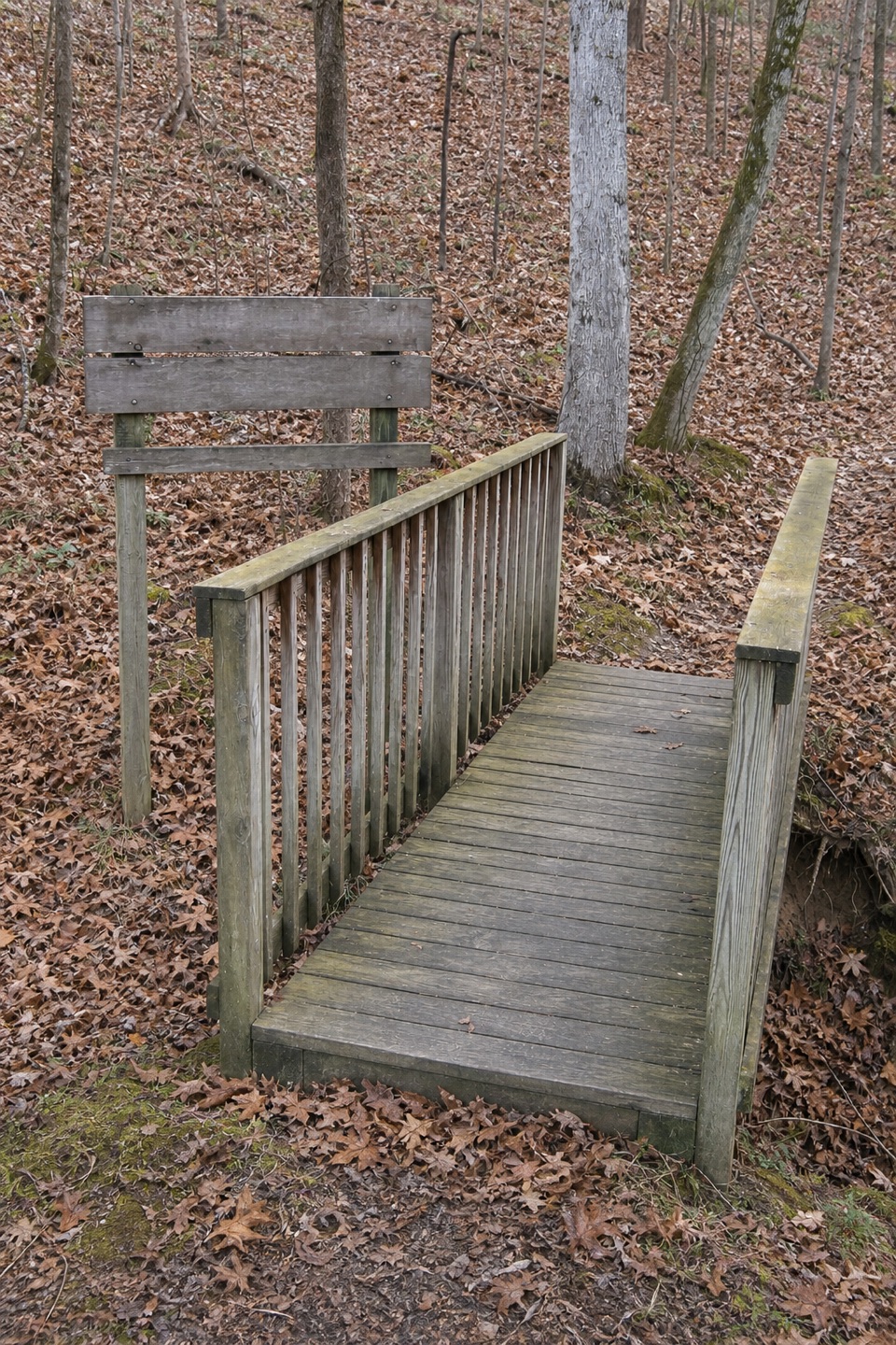
Bear Creek Trail is a 0.92-mile point-to-point dirt path beside Bear Creek in Tishomingo State Park, running from the cabin-side trail junction toward the Swinging Bridge Area. Allow about 30 minutes one way; retracing it makes a roughly 1.84-mile walk. This distance covers the named Bear Creek footway only, not added connections through the park’s trail network.

Follow the waterThe path follows a wooded creek corridor and meets other named trails near the Pioneer Cabin…

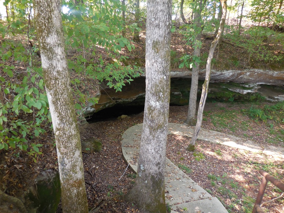
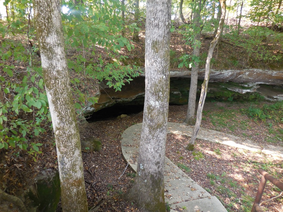
The path follows a wooded creek corridor and meets other named trails near the Pioneer Cabin end. Toward the opposite end, the park’s suspended Swinging Bridge crosses Bear Creek. Civilian Conservation Corps workers built it in 1938. Pause at the stone entrance and frame some of the deck and cables with the creek below to show the bridge’s span. Tishomingo’s nature trails are marked with red paint blazes and described as easy to moderate.

Plan the returnThis is a point-to-point walk, not a loop.

This is a point-to-point walk, not a loop. The park confirms parking at the swimming-pool day-use area and the Swinging Bridge Area; no dedicated lot at the cabin-side junction was confirmed. With one vehicle, start from an east-side lot, walk the path in reverse, and retrace it. Pets must stay leashed and are excluded from Family Cabin and Group Camp areas and state buildings.

Wildlife

Wildlife in Natchez Trace

All Natchez Trace wildlife maps

Sighting maps show where each species has been reported across Natchez Trace. Wildlife moves, so no sighting is guaranteed.

Parkwolf’s Natchez Trace ranking

Top-rated trails in Natchez Trace

All 26 trails
  1. 1Cypress Swamp WalkEasy · 0.4 mi
  2. 2Jackson Falls TrailModerate · 0.4 mi
  3. 3Fall Hollow Waterfall TrailEasy · 0.2 mi
  4. 4Potkopinu Section of the Natchez Trace National Scenic TrailModerate · 3.4 mi
  5. 5Devil's Backbone TrailModerate · 3.1 mi
  6. 6Little Mountain TrailModerate · 1.7 mi

Take Parkwolf to Natchez Trace.

The audio tour guide for the drive, plus offline maps, trails, and wildlife heatmaps for when the signal drops.

4.7 from 8,600+ ratings

Download Parkwolf on the App StoreGet Parkwolf on Google Play