Old Natchez Trace: War of 1812 Memorial to Garrison Creek in Natchez Trace Parkway

#7 of 26 trails in Natchez Trace

Natchez Trace Parkway, MS · AL · TN

Old Natchez Trace: War of 1812 Memorial to Garrison Creek

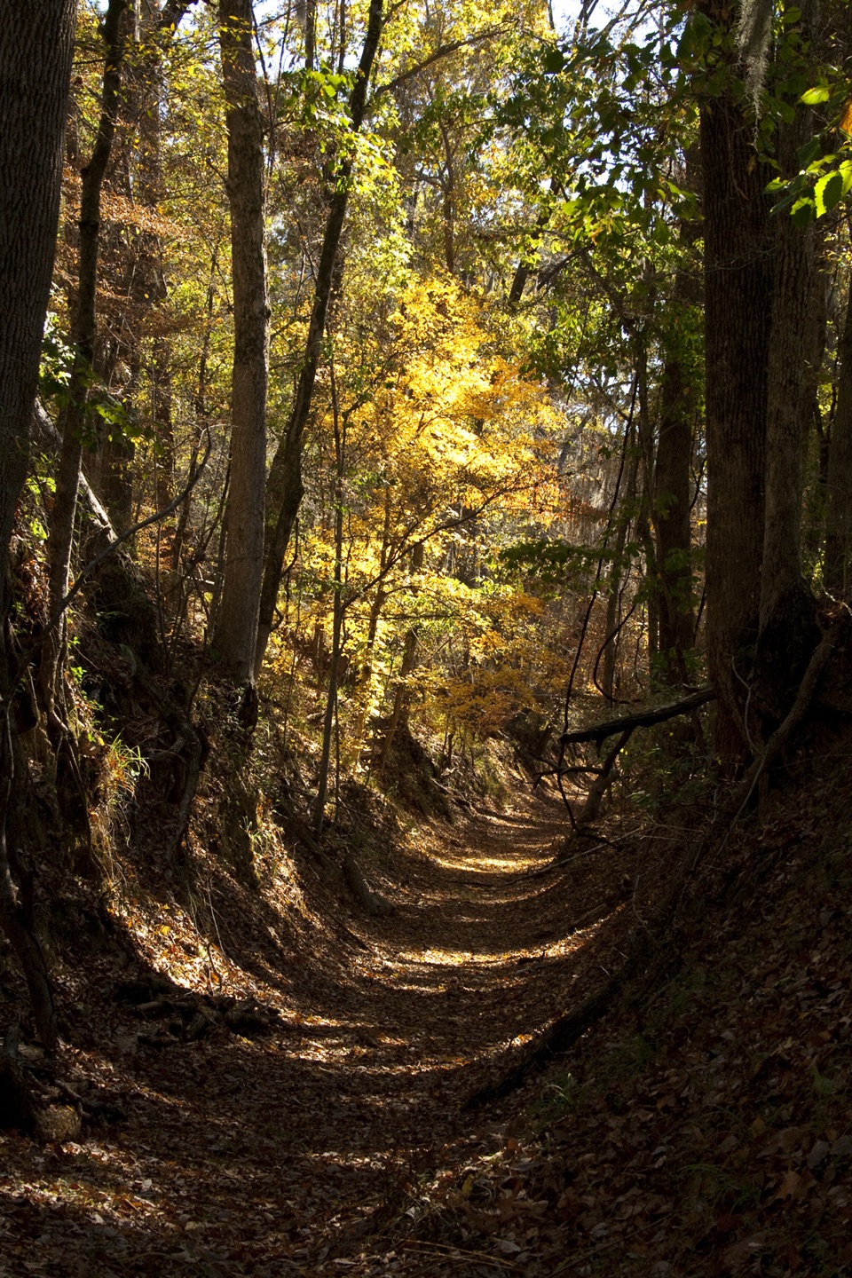
Follow the shaded Trace from the memorial down to Garrison Creek.

Length
1.7mi
Time
51min
Elev. change
259ft
Difficulty
Easy
  • Dogs allowed
  • High point 955 ft

Hear the audio tour

War of 1812 Memorial and Old Trace

Overview

About Old Natchez Trace: War of 1812 Memorial to Garrison Creek

Why go

  • A shaded walk through a mapped stretch of the Old Trace
  • Flush toilets and drinking water at Garrison Creek

Heads up

  • Point-to-point parking takes planning; walking back retraces the same line

Map & elevation

The route

Loading the Natchez Trace map
Full map
Elevation696–955 ft
TrailheadWar of 1812 Memorial trailhead35.86072, -87.04700
Keep this map with you offline in the Parkwolf app

Plan your hike

Before you go

Parking

Start at the War of 1812 Memorial pullout at Parkway milepost 426.3, where auto parking is available. The other end is Garrison Creek at milepost 427.6, with auto and bus/RV parking. Leave a vehicle at both ends or return on foot along the same trail.

Safety

Returning to the Memorial on foot reverses the descent toward Garrison Creek.

4 active Natchez Trace alerts

  • ClosureParkway sections closed for bridge and road constructionTwo Natchez Trace Parkway sections are closed to through traffic; follow the signed detours.Official details
  • ClosureMount Locust historic stand closedThe historic stand at Mount Locust Inn & Plantation (MP 15.5) is closed because of structural concerns.Official details
See all 4 alerts
A park ranger sits on a dash-mounted phone, talking, as Parkwolf’s Tour Guide plays “Army Cutworm Moths: A Grizzly Bear Buffet” on Grand Loop Road below Dunraven Pass in Yellowstone
Parkwolf Tour GuideThe highest, rockiest slopes around here are a summer buffet for grizzly bears.

Natchez Trace Tour Guide

Your drive to Old Natchez Trace: War of 1812 Memorial to Garrison Creek, narrated.

Parkwolf is a GPS audio tour guide for Natchez Trace Parkway. As you drive, it chimes in with what’s ahead: hidden gems, upcoming stops, history, geology, and wildlife, right through your car’s speakers.

Recorded for this trailhead

War of 1812 Memorial and Old Trace
0:00 / 0:32
“You're coming up on the War of 1812 Memorial, a modest roadside stop with a hard story behind it.”

Plays as you drive up to this trailhead in the Parkwolf Natchez Trace Tour Guide.

More stories near here in the app

  • The Post Behind Garrison Creek
  • The Road Behind Old Hickory
  • The Tree with Shaggy Bark
  • White Branches Over the Water
  • 272 audio storiesacross Natchez Trace’s roads, triggered by GPS as you drive
  • Wildlife heatmapsfor American Alligator, White-tailed Deer, Wild Turkey, and 9 more
  • Works offlinemaps, 26 trails, 62 places, and audio download before you lose signal
  • CarPlay readysimple controls built for the drive
★★★★★
“Fantastic app with many points of information… It’s great to just turn on while you’re driving and it gives you an audio tour of the national Park. We love it!!!!”
JMJamesApp Store review
Download Parkwolf on the App StoreGet Parkwolf on Google Play

4.7 from 8,600+ ratings

Trail guide

Hiking Old Natchez Trace: War of 1812 Memorial to Garrison Creek

What this trail isThis 1.

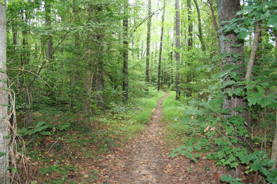
This 1.7-mile point-to-point walk runs from the War of 1812 Memorial to Garrison Creek on the Highland Rim section of the Natchez Trace National Scenic Trail. It follows the Old Trace through shaded hardwood forest, staying fairly level for most of the way before dropping toward Garrison Creek. Plan on about 50 minutes one way, with extra time at the memorial. The mapped path is about 1.7 miles; the park's description rounds the section to two miles. If you leave one car, walk back on the same line for about 3.4 miles total.

The route and its storyStart at the War of 1812 Memorial, where the walking route enters the trees at the edge of the…

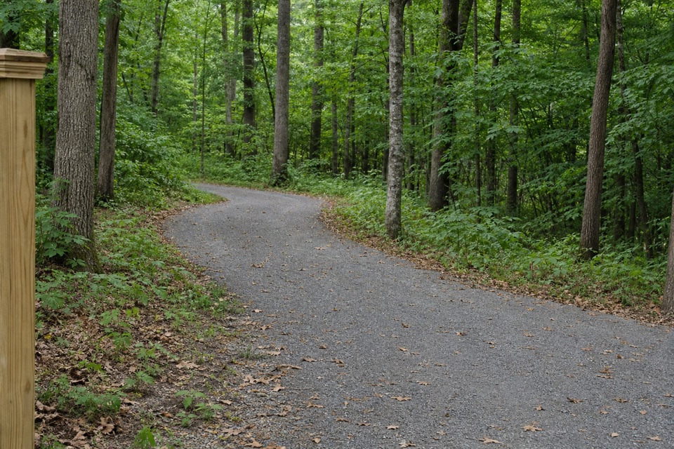
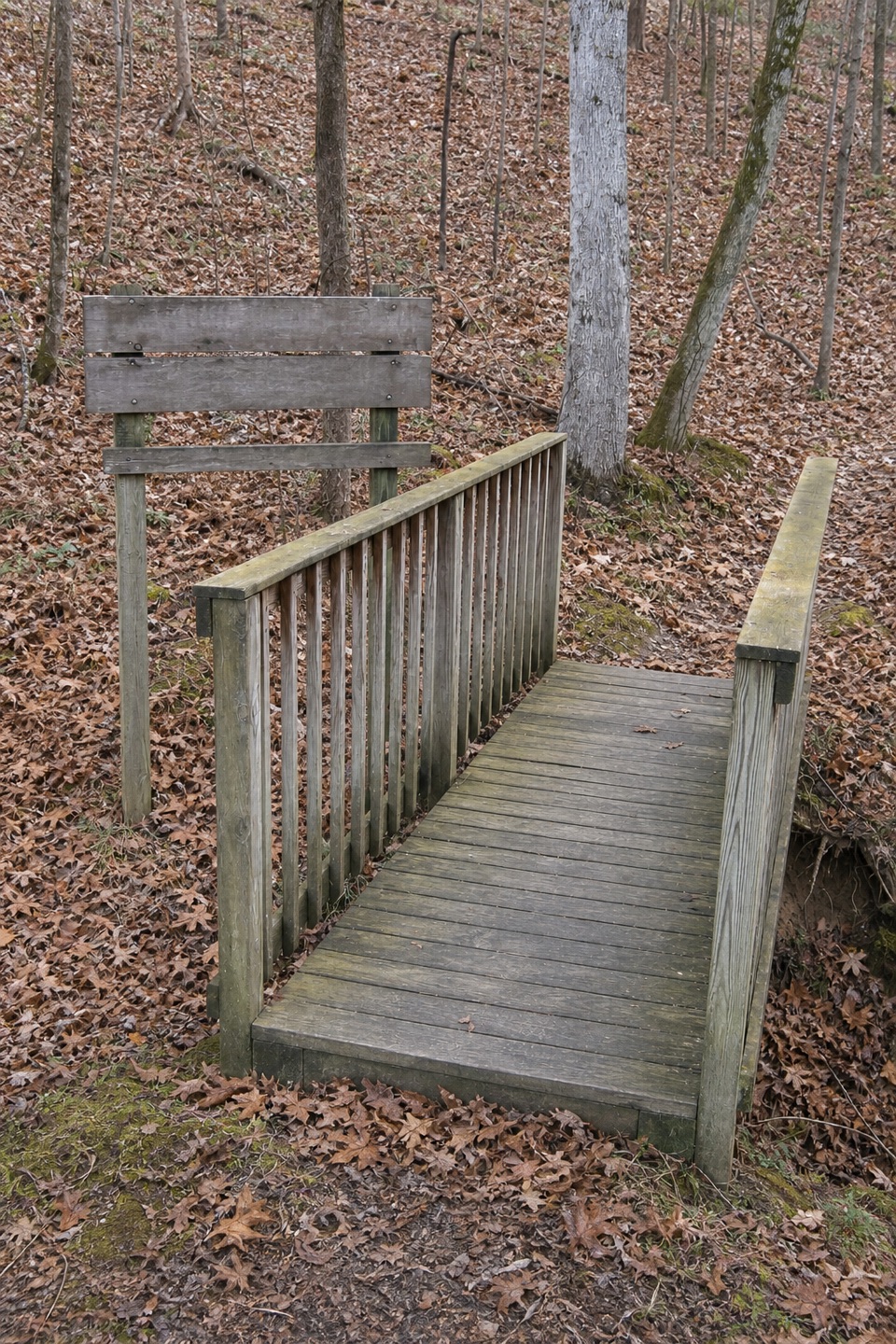
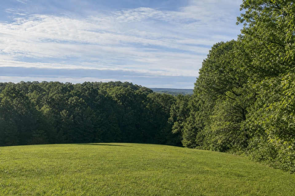
Start at the War of 1812 Memorial, where the walking route enters the trees at the edge of the clearing. The forest keeps most of the trail shaded and the route relatively even. Near Garrison Creek, it descends to the trailhead. The payoff is a stretch of historic corridor between two named Parkway stops, rather than a summit or waterfall destination.

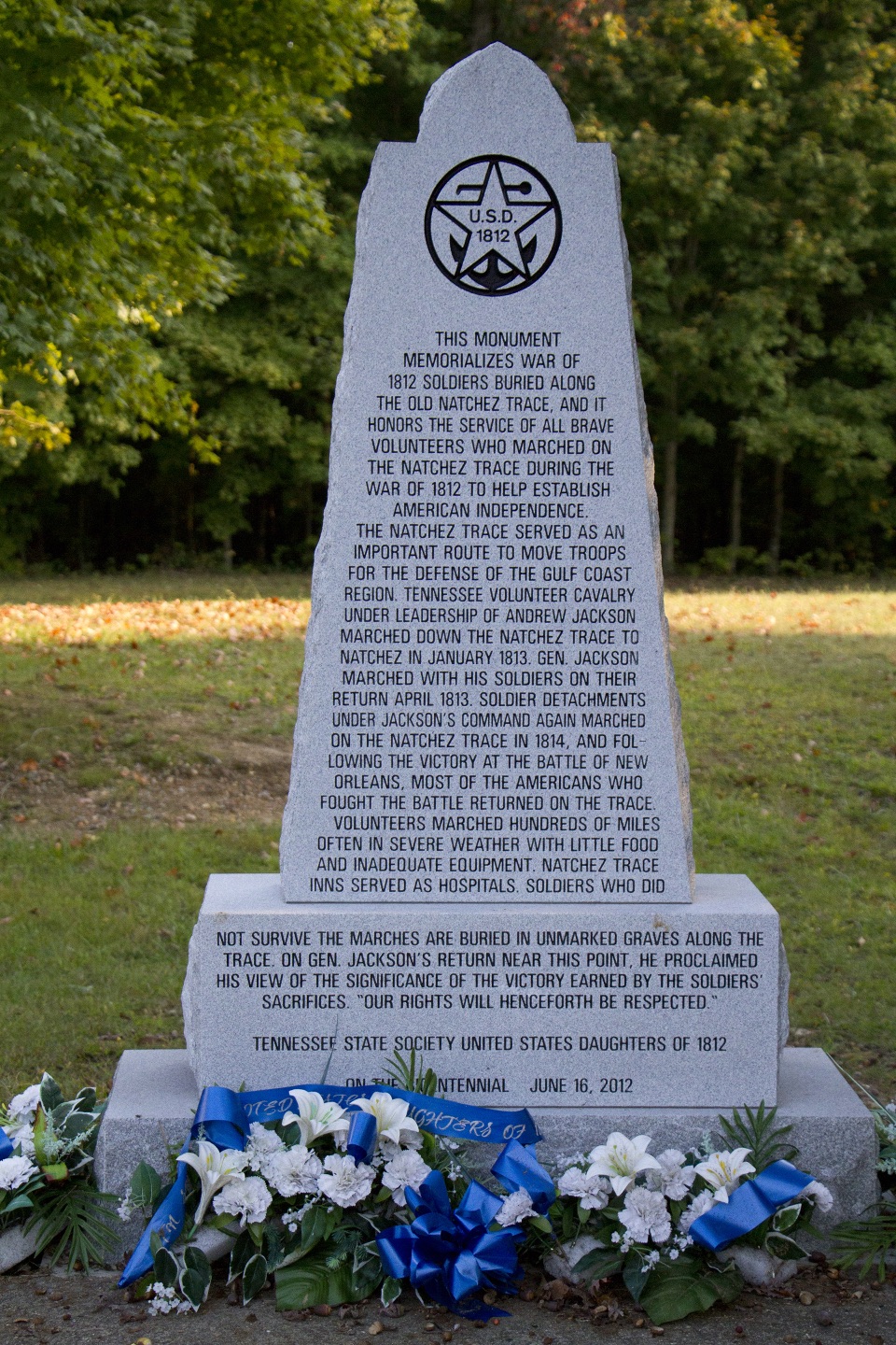
The memorial honors Tennessee volunteers who marched along the Trace during the War of 1812, including soldiers buried in unmarked graves along the route. The mapped trail follows a part of the old corridor, so the memorial's story continues underfoot after you leave the clearing.

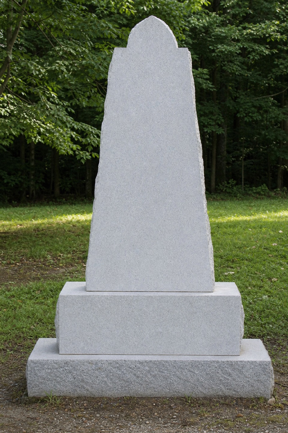
Access and returnThe memorial is at Parkway milepost 426.3 and has auto parking and a picnic table.

The memorial is at Parkway milepost 426.3 and has auto parking and a picnic table. Garrison Creek, at milepost 427.6, has auto and bus/RV parking, drinking water, flush toilets, benches and a picnic area. This is a point-to-point walk, so arrange a vehicle at each end or retrace the same line. A return on foot reverses the final descent from Garrison Creek. Dogs are allowed on a leash no longer than six feet; clean up after them.

Wildlife

Wildlife in Natchez Trace

All Natchez Trace wildlife maps

Sighting maps show where each species has been reported across Natchez Trace. Wildlife moves, so no sighting is guaranteed.

Parkwolf’s Natchez Trace ranking

Top-rated trails in Natchez Trace

All 26 trails
  1. 1Cypress Swamp WalkEasy · 0.4 mi
  2. 2Jackson Falls TrailModerate · 0.4 mi
  3. 3Fall Hollow Waterfall TrailEasy · 0.2 mi
  4. 4Potkopinu Section of the Natchez Trace National Scenic TrailModerate · 3.4 mi
  5. 5Devil's Backbone TrailModerate · 3.1 mi
  6. 6Little Mountain TrailModerate · 1.7 mi

Take Parkwolf to Natchez Trace.

The audio tour guide for the drive, plus offline maps, trails, and wildlife heatmaps for when the signal drops.

4.7 from 8,600+ ratings

Download Parkwolf on the App StoreGet Parkwolf on Google Play