Natchez Trace National Scenic Trail – Blackland Prairie Section in Natchez Trace Parkway

Natchez Trace Parkway, MS · AL · TN

Natchez Trace National Scenic Trail – Blackland Prairie Section

A full-day walk through prairie, woods and Chickasaw history.

Photo: National Park Service
Length
12mi
Time
5hr
Elev. change
73ft
Difficulty
Moderate
  • Dogs allowed
  • High point 345 ft
  • #13 of 26 in Natchez Trace

Hear the audio tour

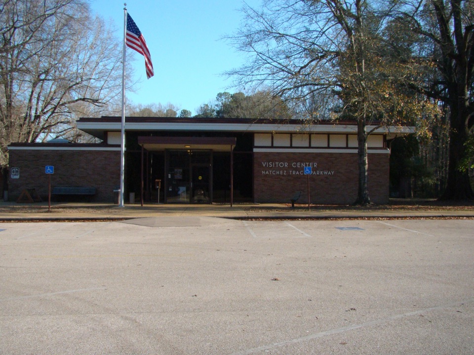
Natchez Trace Parkway Visitor Center

Overview

About Natchez Trace National Scenic Trail – Blackland Prairie Section

Why go

  • The route reaches the Chickasaw Village Site and its prairie
  • Grass, boardwalk, and woodland sections vary the long walk

Heads up

  • A full return from the north access is 12 miles
  • Road and railroad crossings interrupt the trail

Map & elevation

The route

Loading the Natchez Trace map
Full map
Elevation273–345 ft
TrailheadBeech Springs Parking Area34.32993, -88.71331
Keep this map with you offline in the Parkwolf app

Plan your hike

Before you go

Parking

North access: at Parkway milepost 266, take the road opposite the Natchez Trace Parkway Visitor Center and follow it about 0.2 mile to Beech Springs parking. South access: exit the Parkway at MS 6 near milepost 260, go west about 0.5 mile to Air Park Road, turn right, then right on West Jackson Street; the paved parking/staging area is on the left.


Safety

At the creek crossing near milepost 264.5 and US 178/McCullough Boulevard near milepost 262.5, hikers must walk along the Parkway shoulder. There is also a railroad crossing north of Chickasaw Village. Watch for traffic and trains at these crossings.

4 active Natchez Trace alerts

  • ClosureParkway sections closed for bridge and road constructionTwo Natchez Trace Parkway sections are closed to through traffic; follow the signed detours.Official details
  • ClosureMount Locust historic stand closedThe historic stand at Mount Locust Inn & Plantation (MP 15.5) is closed because of structural concerns.Official details
See all 4 alerts
A park ranger sits on a dash-mounted phone, talking, as Parkwolf’s Tour Guide plays “Army Cutworm Moths: A Grizzly Bear Buffet” on Grand Loop Road below Dunraven Pass in Yellowstone
Parkwolf Tour GuideThe highest, rockiest slopes around here are a summer buffet for grizzly bears.

Natchez Trace Tour Guide

Your drive to Natchez Trace National Scenic Trail – Blackland Prairie Section, narrated.

Parkwolf is a GPS audio tour guide for Natchez Trace Parkway. As you drive, it chimes in with what’s ahead: hidden gems, upcoming stops, history, geology, and wildlife, right through your car’s speakers.

Recorded for this trailhead

Natchez Trace Parkway Visitor Center
0:00 / 0:28
“You're approaching the Natchez Trace Parkway Visitor Center near Tupelo.”

Plays as you drive up to this trailhead in the Parkwolf Natchez Trace Tour Guide.

More stories near here in the app

  • The Music Before Memphis
  • The Railroad Behind the Battle
  • Old Town Overlook
  • Gum Pond Became Tupelo
  • 272 audio storiesacross Natchez Trace’s roads, triggered by GPS as you drive
  • Wildlife heatmapsfor American Alligator, White-tailed Deer, Wild Turkey, and 9 more
  • Works offlinemaps, 26 trails, 62 places, and audio download before you lose signal
  • CarPlay readysimple controls built for the drive
★★★★★
“Fantastic app with many points of information… It’s great to just turn on while you’re driving and it gives you an audio tour of the national Park. We love it!!!!”
JMJamesApp Store review
Download Parkwolf on the App StoreGet Parkwolf on Google Play

4.7 from 8,600+ ratings

Trail guide

Hiking Natchez Trace National Scenic Trail – Blackland Prairie Section

Make a day of itThe Blackland Prairie Section is the six-mile leg of the Natchez Trace National Scenic Trail…

The Blackland Prairie Section is the six-mile leg of the Natchez Trace National Scenic Trail near Tupelo. Walk it one way between Beech Springs and West Jackson Street, or return to Beech Springs for the official 12-mile round trip. The route runs through forest and bottomland, then by the Chickasaw Village Site and prairie. It is a long, gentle walk on mixed trail and roadside surfaces; the distance, more than steep climbing, is the commitment. Allow about five hours for the full return walk with a stop at the village.

Prairie, woods and villageThe tread averages about three feet wide and changes between grass, gravel, wooden boardwalk,…

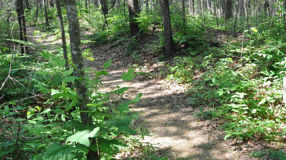
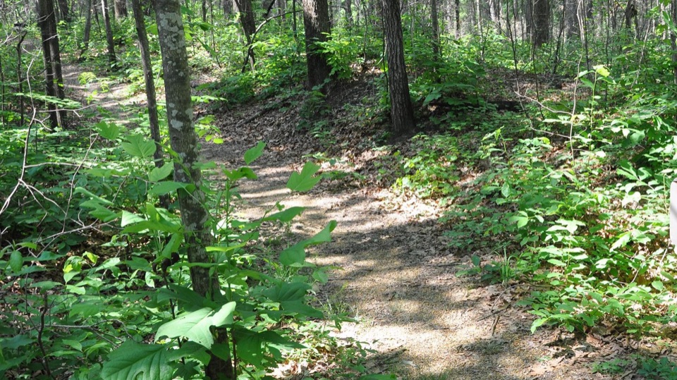
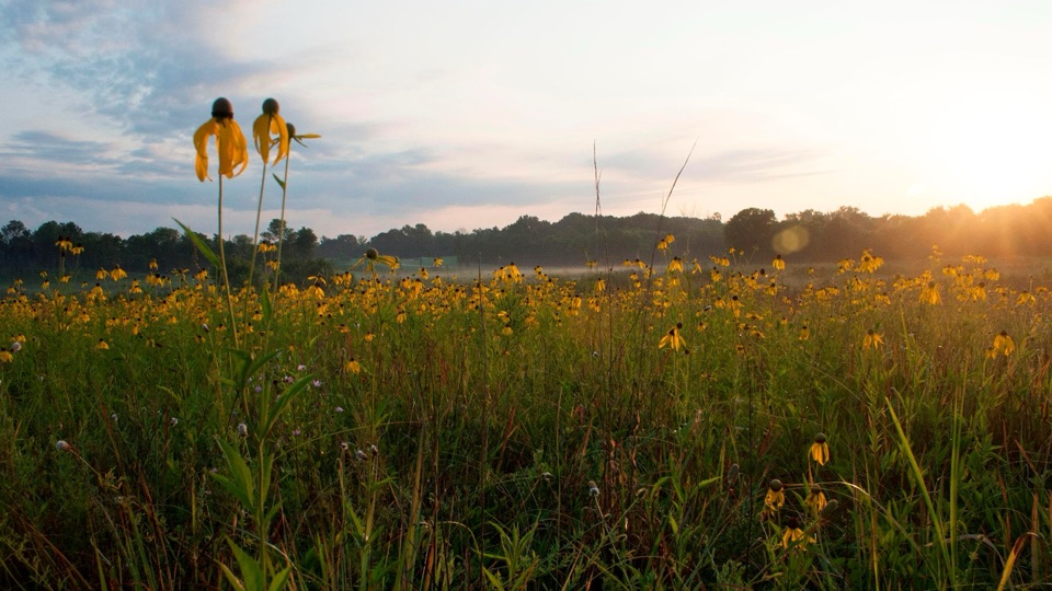
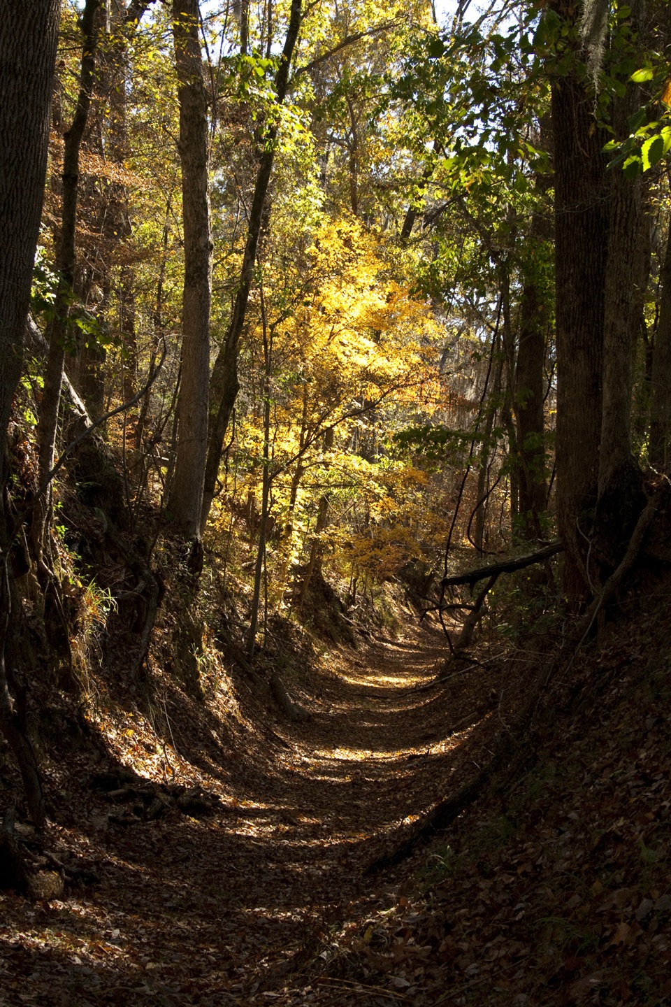
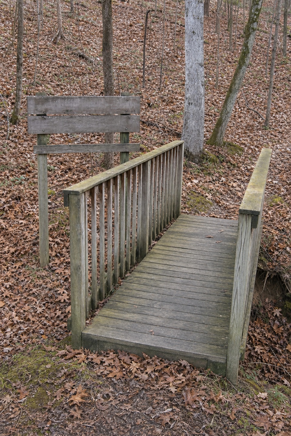
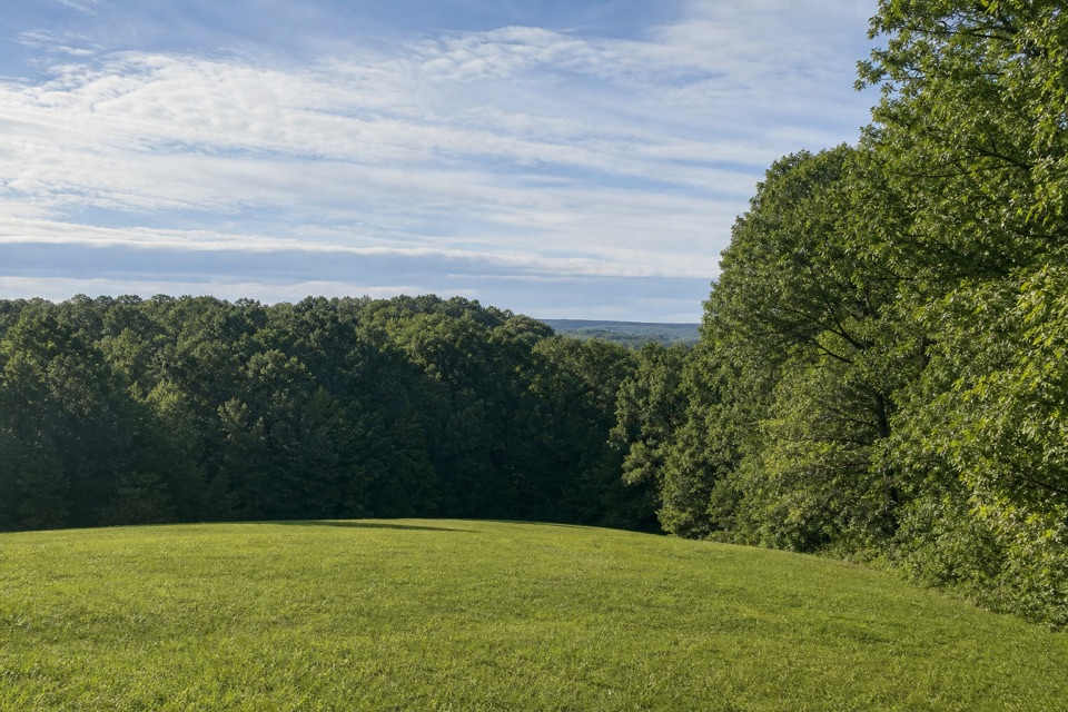
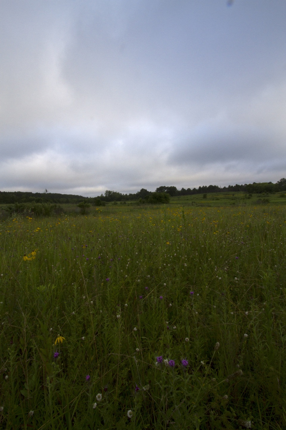
The tread averages about three feet wide and changes between grass, gravel, wooden boardwalk, and pavement. Shady woods and open fields alternate along the corridor. The Chickasaw Village Site at milepost 261.8 is the main landmark. Chickasaw people used fire to maintain the prairie, and prescribed burns continue that pattern. Spring is the best time for the prairie flowers; late October is the season noted for fall color. The site's separate half-mile interpretive trail explains plants and their uses, especially for Chickasaw people. It makes a good short visit, but it is not part of the six-mile section.

Crossings break up the walkThe trail parallels the Parkway and has a creek crossing near milepost 264.

The trail parallels the Parkway and has a creek crossing near milepost 264.5 and a US 178/McCullough Boulevard crossing near milepost 262.5. At both, hikers use the Parkway shoulder. There is also a railroad crossing north of the village. These crossings interrupt the walk, so take care around traffic and trains. This route mixes natural tread with short roadside connections; it is not an uninterrupted greenway. Bicycles are not allowed.

Choose your accessAt the north end, use the Beech Springs parking area: at milepost 266, take the access road…

At the north end, use the Beech Springs parking area: at milepost 266, take the access road opposite the Parkway Visitor Center and follow it about 0.2 mile to the lot. The south-end lot is on West Jackson Street, off Parkway property. To reach it, exit to MS 6 near milepost 260, go west about half a mile to Air Park Road, turn right, then right again on West Jackson; the paved lot is on the left. Pets are allowed on a six-foot leash. Start at Beech Springs if you want the full out-and-back without arranging a second car.

Wildlife

Wildlife in Natchez Trace

All Natchez Trace wildlife maps

Sighting maps show where each species has been reported across Natchez Trace. Wildlife moves, so no sighting is guaranteed.

Parkwolf’s Natchez Trace ranking

Top-rated trails in Natchez Trace

All 26 trails
  1. 1Cypress Swamp WalkEasy · 0.4 mi
  2. 2Jackson Falls TrailModerate · 0.4 mi
  3. 3Fall Hollow Waterfall TrailEasy · 0.2 mi
  4. 4Potkopinu Section of the Natchez Trace National Scenic TrailModerate · 3.4 mi
  5. 5Devil's Backbone TrailModerate · 3.1 mi
  6. 6Little Mountain TrailModerate · 1.7 mi

Take Parkwolf to Natchez Trace.

The audio tour guide for the drive, plus offline maps, trails, and wildlife heatmaps for when the signal drops.

4.7 from 8,600+ ratings

Download Parkwolf on the App StoreGet Parkwolf on Google Play