Parking
Use the signed Old Trace access on the Parkway at milepost 269.4; parking capacity and nearby facilities are not documented.
Natchez Trace Parkway, MS · AL · TN
A sunken road leads to a short, unresolved Civil War story.
Overview
Map & elevation
Plan your hike

The highest, rockiest slopes around here are a summer buffet for grizzly bears.
Natchez Trace Tour Guide
Parkwolf is a GPS audio tour guide for Natchez Trace Parkway. As you drive, it chimes in with what’s ahead: hidden gems, upcoming stops, history, geology, and wildlife, right through your car’s speakers.
Recorded for this trailhead
Old Trace and Confederate Gravesites“Up ahead is the Old Trace and Confederate Gravesites, where a short walk takes you onto a surviving stretch of the historic route. Thirteen replacement markers stand beside the sunken roadbed.”
Plays as you drive up to this trailhead in the Parkwolf Natchez Trace Tour Guide.
More stories near here in the app
“Fantastic app with many points of information… It’s great to just turn on while you’re driving and it gives you an audio tour of the national Park. We love it!!!!”


Trail guide
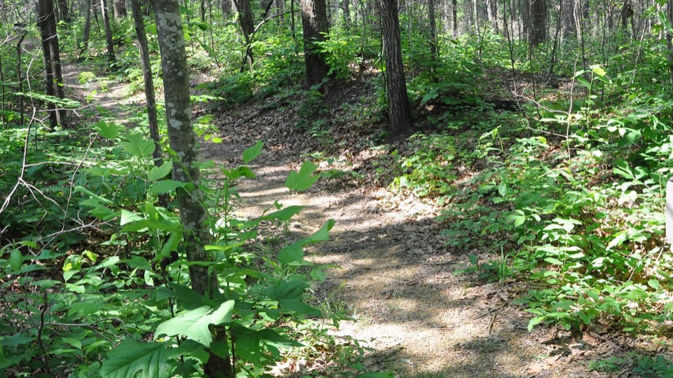
At milepost 269.4, the Confederate Gravesites/Old Trace Trail is a 0.27-mile out-and-back to a surviving piece of the original Natchez Trace and the graves of 13 unidentified Confederate soldiers. It is a short history stop: walk part of the old road and see the markers beside it. Expect a somewhat steep approach.
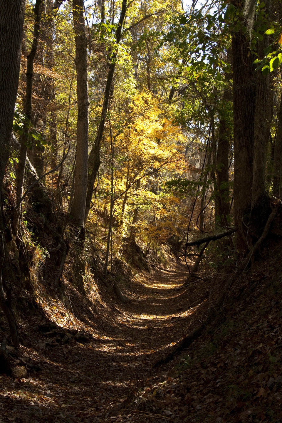
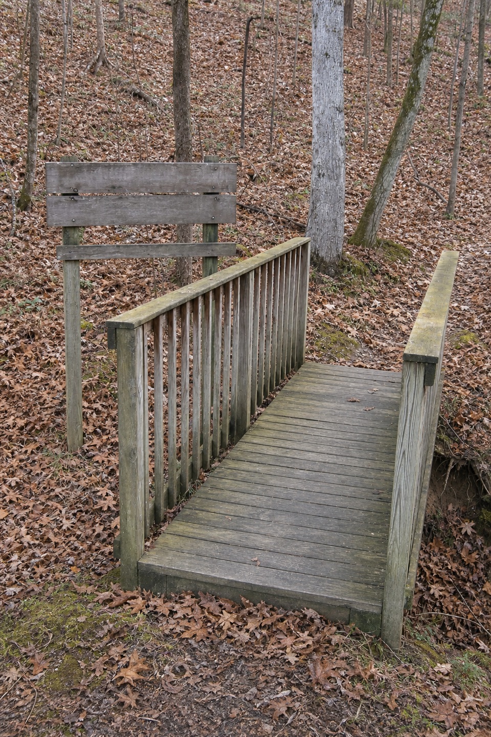
From the signed Parkway access, a 700-foot paved walkway leads to the old road and graves; the full visit is 1,400 feet up and back. The preserved Trace sits slightly below ground, worn into a hollow by generations of travelers, horses and wagons. Thirteen modern markers stand beside it. Walk along the old road to see the stones at eye level. The soldiers' names were lost and their deaths remain unexplained; tradition connects them with Confederate troops who traveled the Trace. For a photo, frame the sunken path with its wooded banks.
Start at the signed Old Trace site on the Parkway at milepost 269.4. Allow 15–30 minutes to walk, read the interpretation and return. The 700-foot approach is paved, while the preserved Trace has a natural surface. The route is somewhat steep. Dogs are allowed on a leash no longer than six feet. Parking capacity and nearby facilities were not documented.
Wildlife
 39 sightingsAmerican AlligatorMost seen around 6 PMSighting map
 35 sightingsWhite-tailed DeerMost seen around 7 AMSighting map
 53 sightingsWild TurkeyMost seen around 7 AMSighting map
 28 sightingsGreat Blue HeronMost seen around 6 PMSighting map
 29 sightingsRed-headed WoodpeckerMost seen around 7 AMSighting map
 32 sightingsTurkey VultureMost seen around noonSighting map
Sighting maps show where each species has been reported across Natchez Trace. Wildlife moves, so no sighting is guaranteed.
Keep exploring
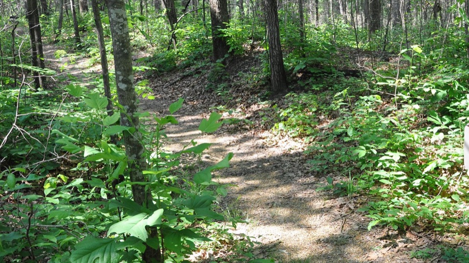 Sight · At the trailheadOld Trace and Confederate GravesitesWalk a sunken stretch of old road to thirteen unknown graves
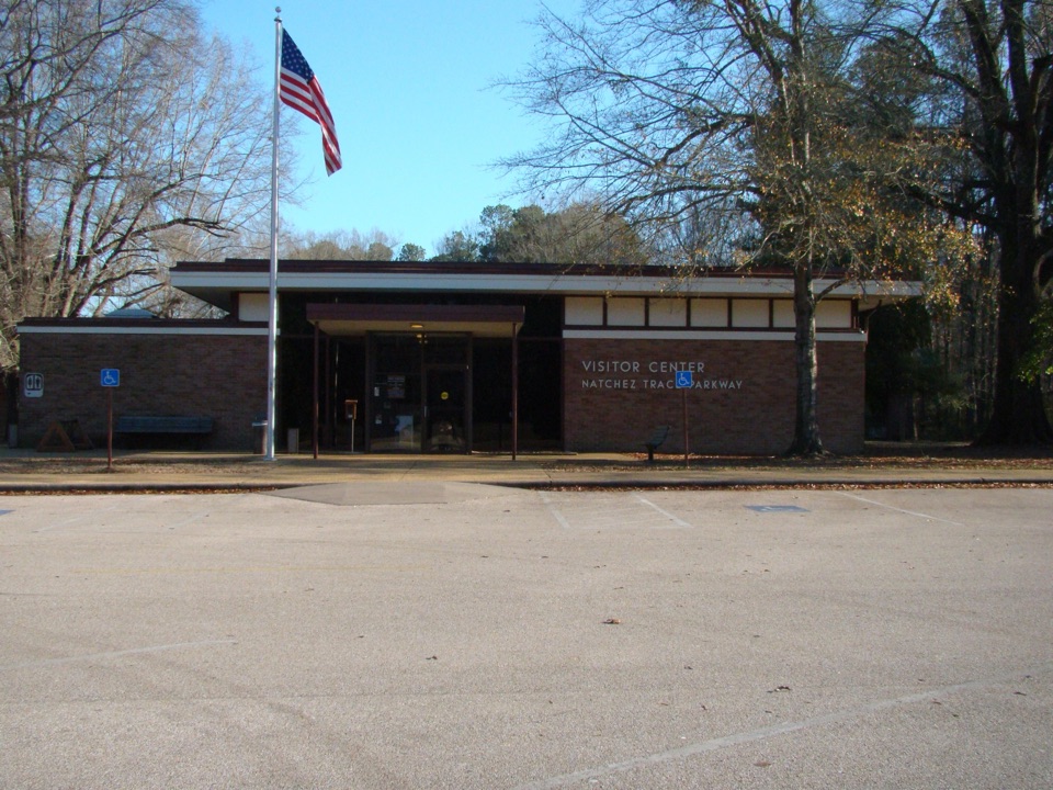 Visitor center · 3.2 mi awayNatchez Trace Parkway Visitor CenterAsk a ranger, watch the 15-minute film, then drive with context
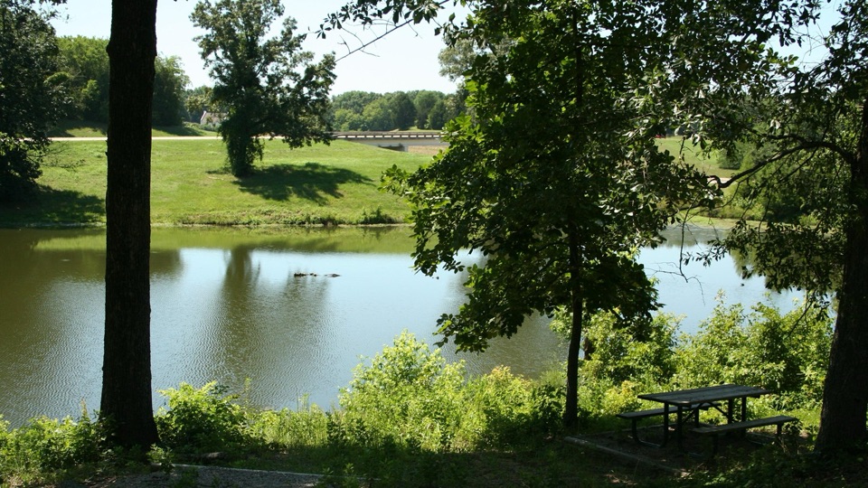 Sight · 5.1 mi awayOld Town OverlookPondside fishing and trail access with layers of local history
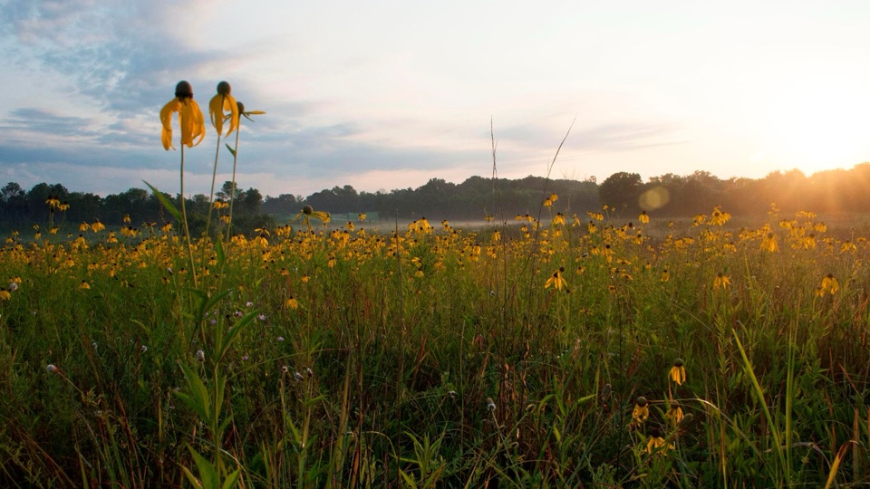 Sight · 7.1 mi awayChickasaw Village SitePrairie wildflowers and marked house sites where a Chickasaw town stood
Parkwolf’s Natchez Trace ranking

The audio tour guide for the drive, plus offline maps, trails, and wildlife heatmaps for when the signal drops.