Parking
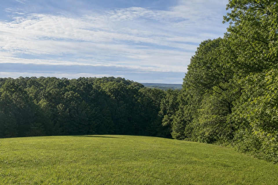
Start at Garrison Creek Trailhead at milepost 427.6, near the restrooms and picnic tables. The southern endpoint is west of the Parkway on gravel Totty Lane at Shady Grove/Tennessee 50. Arrange a pickup or vehicle shuttle before setting out.
#10 of 26 trails in Natchez Trace
Natchez Trace Parkway, MS · AL · TN
A long one-way walk across the Natchez Trace's Highland Rim.
Overview
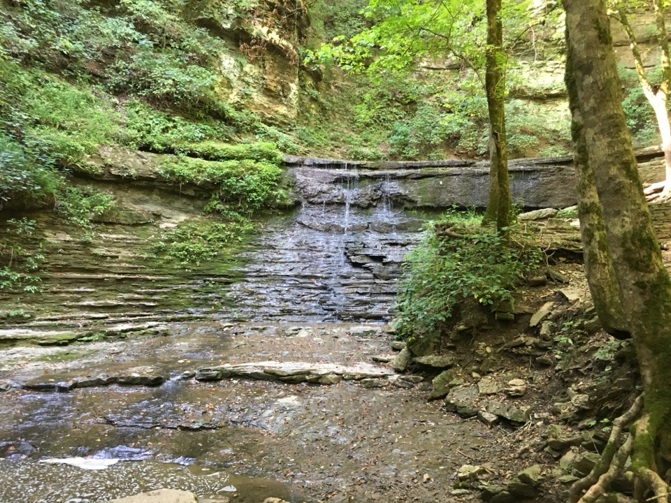
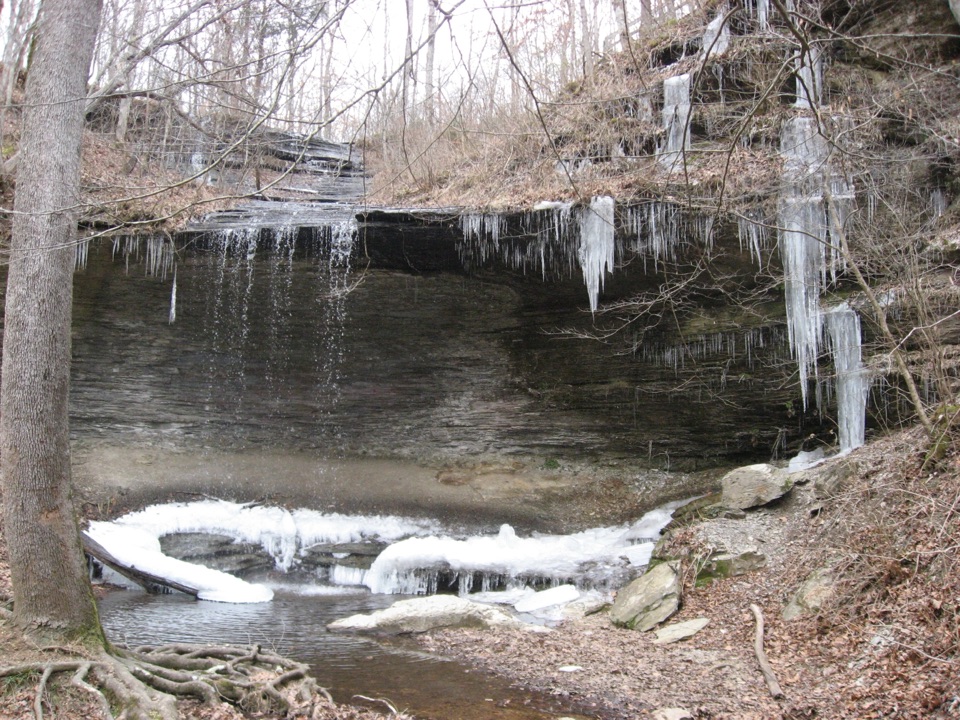
The Highland Rim Section is the northern end of the Natchez Trace National Scenic Trail, a point-to-point walk from Garrison Creek to the Shady Grove access at Tennessee 50. The connected mapped route covers 22.4 miles one way through Tennessee, paralleling the Parkway between several named access points. A park visitor description gives a rounded 20 miles; the detailed trail line winds farther, so use 22.4 when planning. Allow about 10 hours and arrange a pickup at the southern end. This is a full-day corridor hike, not a loop you can casually turn into a short out-and-back.
 Parkwolf’s verdictIs this the hike for you?
Map & elevation
Plan your hike

The highest, rockiest slopes around here are a summer buffet for grizzly bears.
Natchez Trace Tour Guide
Parkwolf is a GPS audio tour guide for Natchez Trace Parkway. As you drive, it chimes in with what’s ahead: hidden gems, upcoming stops, history, geology, and wildlife, right through your car’s speakers.
Recorded for this trailhead
War of 1812 Memorial and Old Trace“You're coming up on the War of 1812 Memorial, a modest roadside stop with a hard story behind it.”
Plays as you drive up to this trailhead in the Parkwolf Natchez Trace Tour Guide.
More stories near here in the app
“Fantastic app with many points of information… It’s great to just turn on while you’re driving and it gives you an audio tour of the national Park. We love it!!!!”


Trail guide
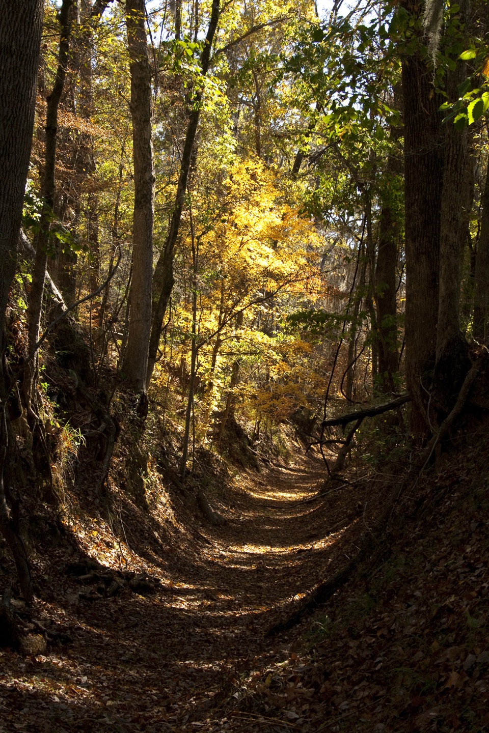
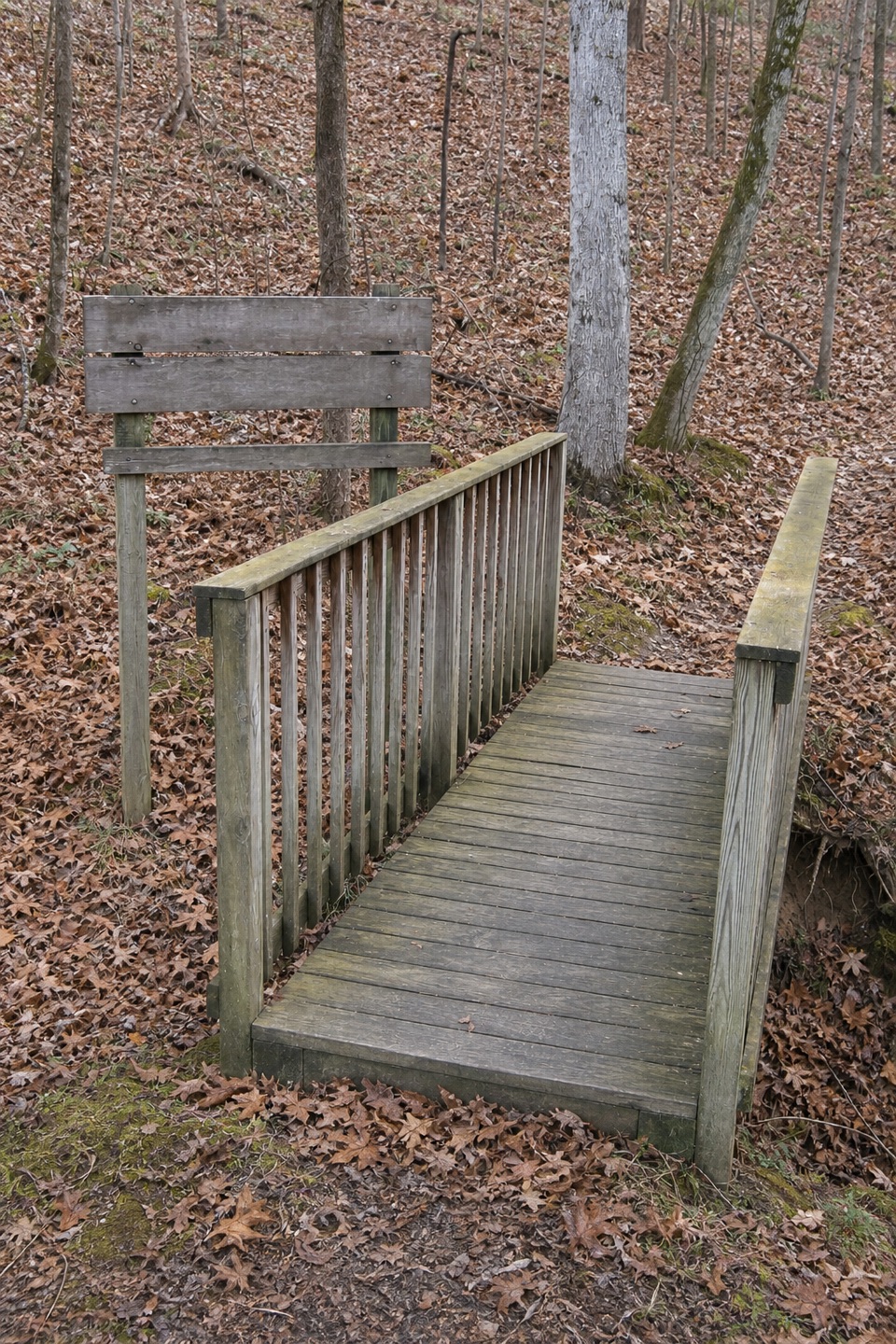
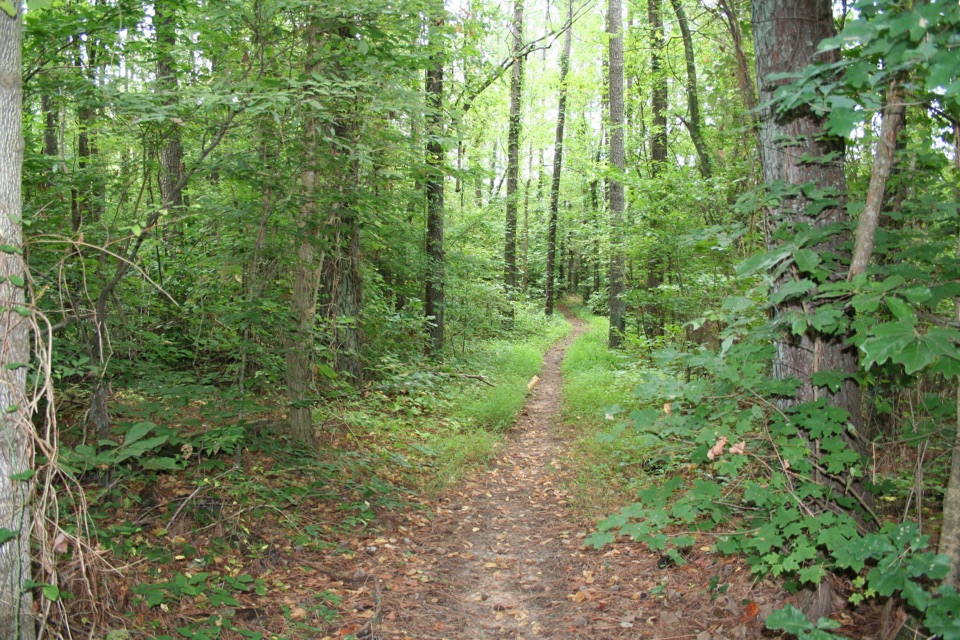
The trail is a native path, generally only three to four feet wide, over uneven ground. It can turn muddy with use or after rain, and the steepest sections are near Garrison Creek. Several access points let you break the long walk into shorter outings, but the complete section is a sustained commitment. A long stretch follows the historic Trace itself, so some of the route is a walk along the old travel corridor rather than a separate scenic spur. Near milepost 426.3, the War of 1812 Memorial has a separate, roughly 1.3-mile Old Trace walk through shaded woods; that local walk is an add-on, not the 22.4-mile route described here.
At Tennessee Valley Divide, milepost 423.9, the trail passes a hiker-only parking area. The route gives a view of the Parkway, with spring blooms and autumn color around the divide. Carter Lane picnic area at milepost 422.9 is another access point, although its broad grassy area gets muddy after rain. Farther south, the Highway 7/Fly trailhead near milepost 416 is reached from Old Natchez Trace Road and has a small parking area. It has no water. These accesses make shorter section walks possible, but you still need to plan where a second car or pickup will meet you.
Begin at Garrison Creek, near the restrooms or picnic tables at milepost 427.6. There is drinking water by the restrooms, plus picnic tables and parking. Finish at Shady Grove/Tennessee 50 near milepost 408; the access is west of the Parkway on gravel Totty Lane. Because this is a point-to-point, arrange a shuttle before walking. Human drinking water is also available at Gordon House, just south of the trail end, while water at the Shady Grove access is for horses. Dogs are allowed on a leash no longer than six feet. Bicycles and camping along the trail are prohibited; use designated campgrounds. The trail is listed as a year-round route with no reservation or activity fee, though Parkway entrance fees may apply.
Wildlife
 39 sightingsAmerican AlligatorMost seen around 6 PMSighting map
 35 sightingsWhite-tailed DeerMost seen around 7 AMSighting map
 53 sightingsWild TurkeyMost seen around 7 AMSighting map
 28 sightingsGreat Blue HeronMost seen around 6 PMSighting map
 29 sightingsRed-headed WoodpeckerMost seen around 7 AMSighting map
 32 sightingsTurkey VultureMost seen around noonSighting map
Sighting maps show where each species has been reported across Natchez Trace. Wildlife moves, so no sighting is guaranteed.
Keep exploring
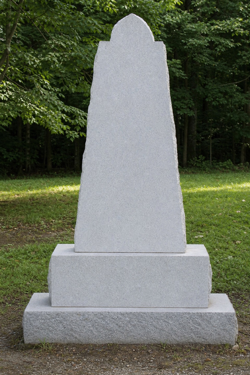 EasyOld Natchez Trace: War of 1812 Memorial to Garrison Creek1.7 mi · 51 min · 1.2 mi awayFollow the shaded Trace from the memorial down to Garrison Creek.
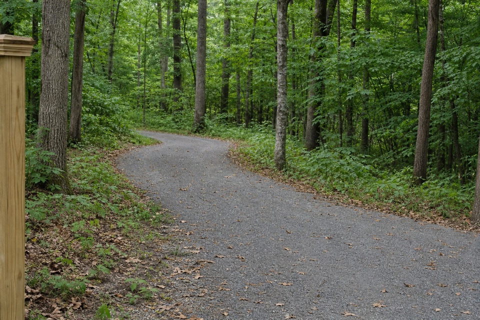 EasyJudy Hayes Trail0.2 mi · 9 min · 7.3 mi awayA short wooded connector into Timberland Park's trail network.
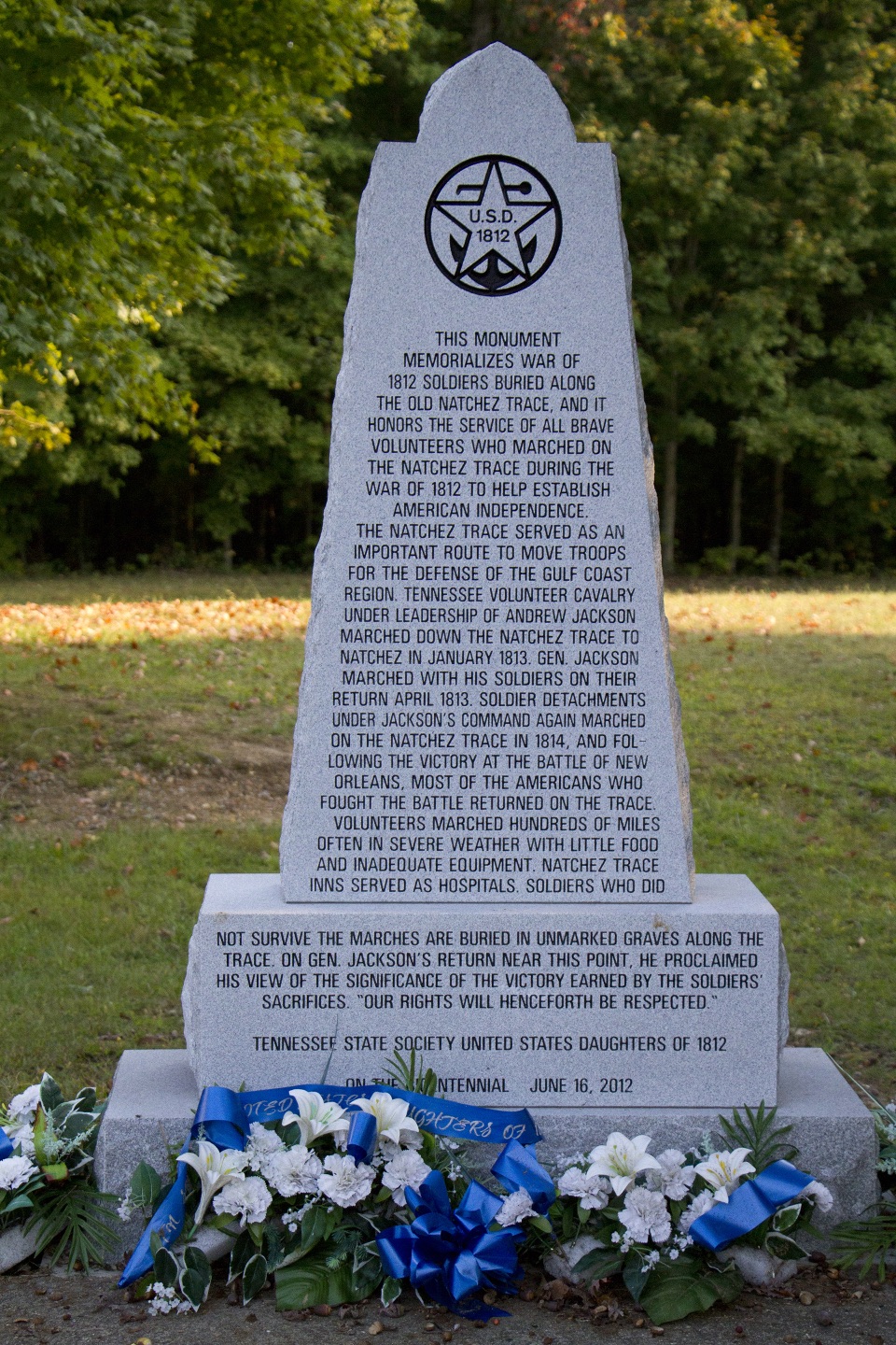 Sight · 1.2 mi awayWar of 1812 MemorialRoadside tribute to volunteers who marched hundreds of hard miles
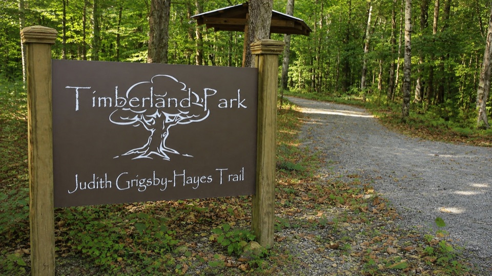 Sight · 7.5 mi awayTimberland ParkWooded loops, a small nature center, and a quiet overlook pavilion
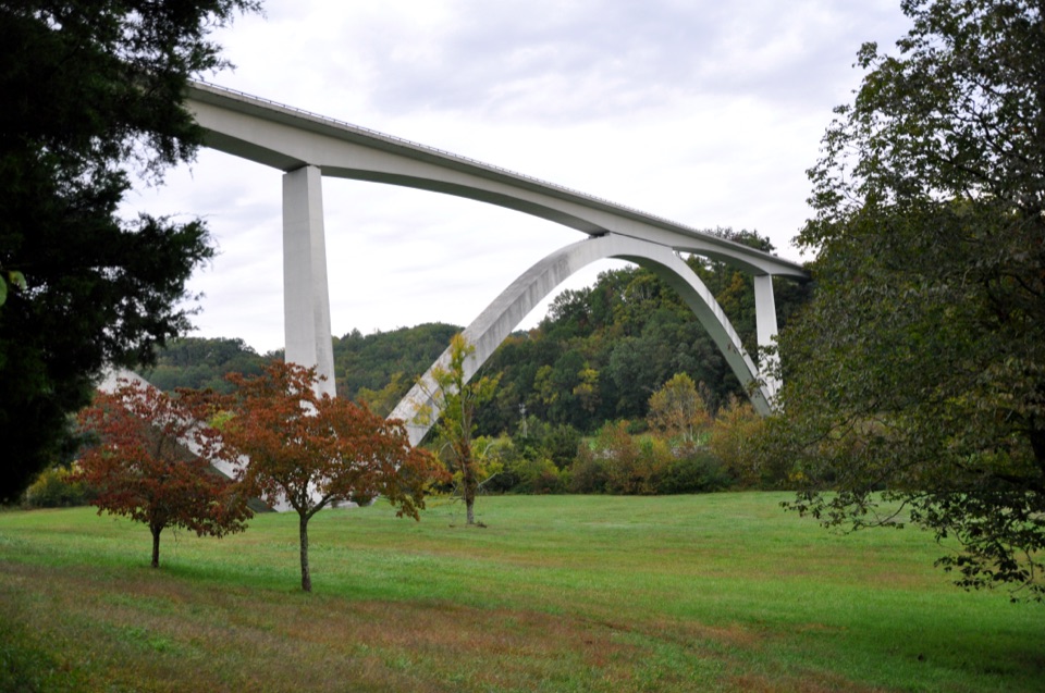 Sight · 8.1 mi awayDouble Arch Bridge at Birdsong HollowTwin concrete arches vault 155 feet over a wooded Tennessee hollow
Parkwolf’s Natchez Trace ranking
The audio tour guide for the drive, plus offline maps, trails, and wildlife heatmaps for when the signal drops.