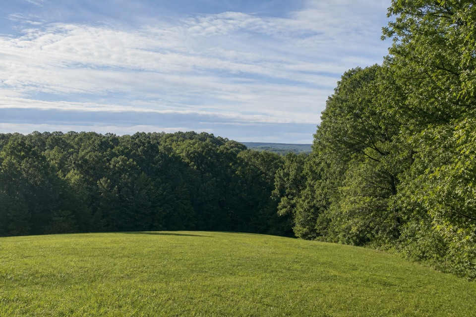
Parking
Use the main Timberland Park lot beside the Interpretive Center, just off the Natchez Trace Parkway.
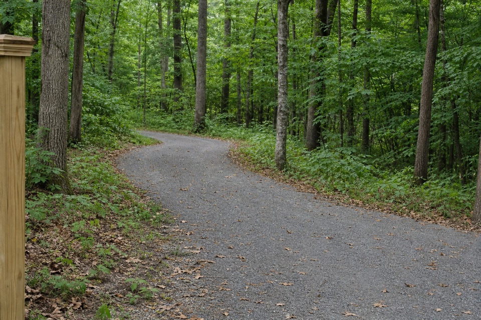
Natchez Trace Parkway, MS · AL · TN
A short wooded connector into Timberland Park's trail network.
Overview
Map & elevation
Plan your hike

The highest, rockiest slopes around here are a summer buffet for grizzly bears.
Natchez Trace Tour Guide
Parkwolf is a GPS audio tour guide for Natchez Trace Parkway. As you drive, it chimes in with what’s ahead: hidden gems, upcoming stops, history, geology, and wildlife, right through your car’s speakers.
Recorded for this trailhead
Timberland Park“You're approaching Timberland Park, a wooded day-use park with a small interpretive center and picnic tables. If you want a break from driving, I'd start at the center for its forest displays, then choose a walk.”
Plays as you drive up to this trailhead in the Parkwolf Natchez Trace Tour Guide.
More stories near here in the app
“Fantastic app with many points of information… It’s great to just turn on while you’re driving and it gives you an audio tour of the national Park. We love it!!!!”


Trail guide
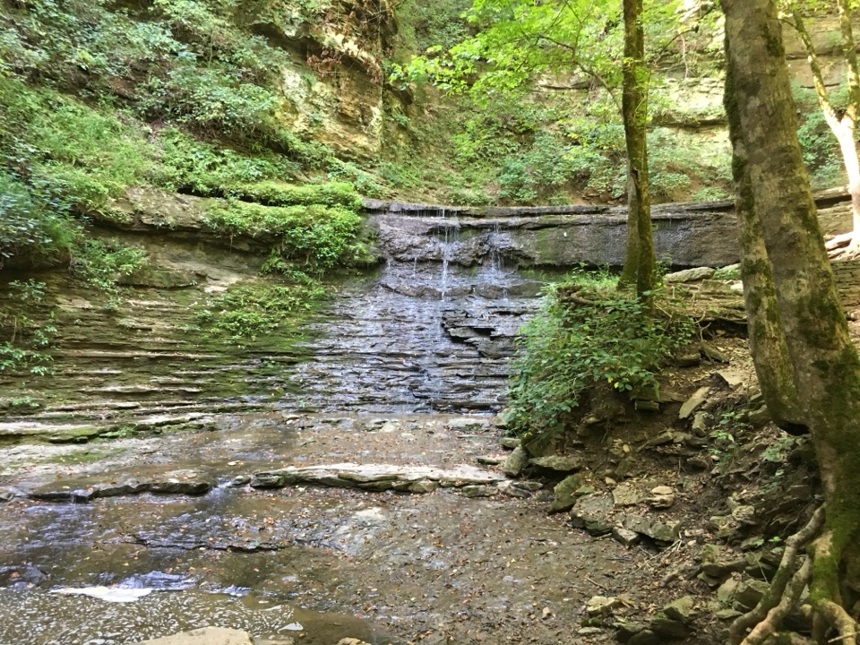
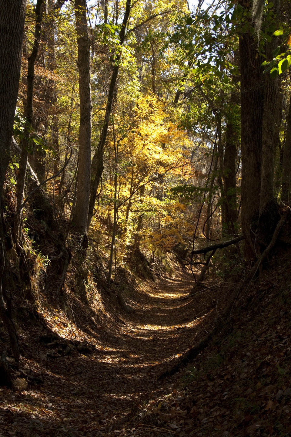
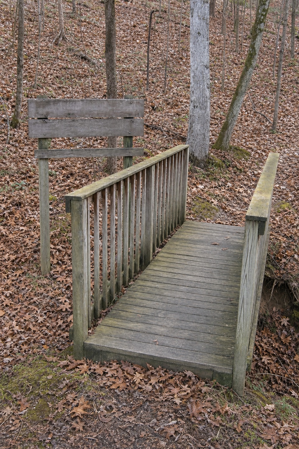
Judy Hayes Trail is a roughly 0.2-mile, one-way connector through the wooded side of Timberland Park, just off the Natchez Trace Parkway. It starts near the Interpretive Center and follows a footpath to a junction with the park's wider trail network. It is not a loop or a destination hike; use it to reach the surrounding routes or add a short walk before continuing elsewhere.
This is easy by hiking standards and takes about 10 minutes one way. The line drops away from the center area, then rises briefly near its far end; there is roughly 90 feet between its lowest and highest points. Expect a short connecting segment rather than a developed scenic destination. Do not confuse it with Timberland Park's separately named ADA Trail; they are separate routes.
Park in the main lot beside the Interpretive Center. The trail is within county-operated Timberland Park, just off the Natchez Trace Parkway. At the far end, continue on another marked route or turn around; retracing this connector makes a brief 0.4-mile out-and-back. Restrooms and picnic tables are near the center, not along this short trail.
Wildlife
 39 sightingsAmerican AlligatorMost seen around 6 PMSighting map
 35 sightingsWhite-tailed DeerMost seen around 7 AMSighting map
 53 sightingsWild TurkeyMost seen around 7 AMSighting map
 28 sightingsGreat Blue HeronMost seen around 6 PMSighting map
 29 sightingsRed-headed WoodpeckerMost seen around 7 AMSighting map
 32 sightingsTurkey VultureMost seen around noonSighting map
Sighting maps show where each species has been reported across Natchez Trace. Wildlife moves, so no sighting is guaranteed.
Keep exploring
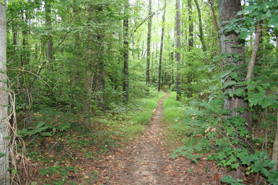 ChallengingNatchez Trace National Scenic Trail – Highland Rim Section22.4 mi · 10 hr · 7.3 mi awayA long one-way walk across the Natchez Trace's Highland Rim.
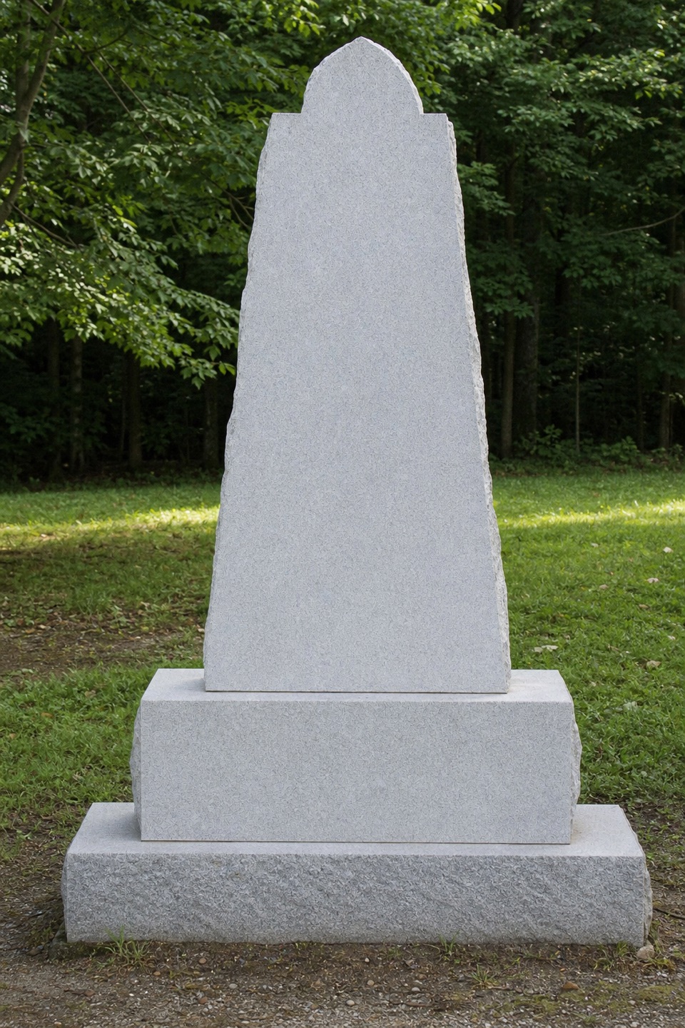 EasyOld Natchez Trace: War of 1812 Memorial to Garrison Creek1.7 mi · 51 min · 8.4 mi awayFollow the shaded Trace from the memorial down to Garrison Creek.
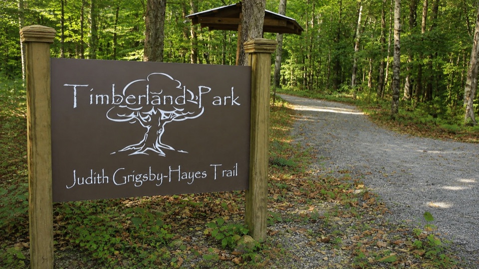 Sight · 0.2 mi awayTimberland ParkWooded loops, a small nature center, and a quiet overlook pavilion
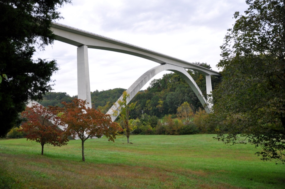 Sight · 0.9 mi awayDouble Arch Bridge at Birdsong HollowTwin concrete arches vault 155 feet over a wooded Tennessee hollow
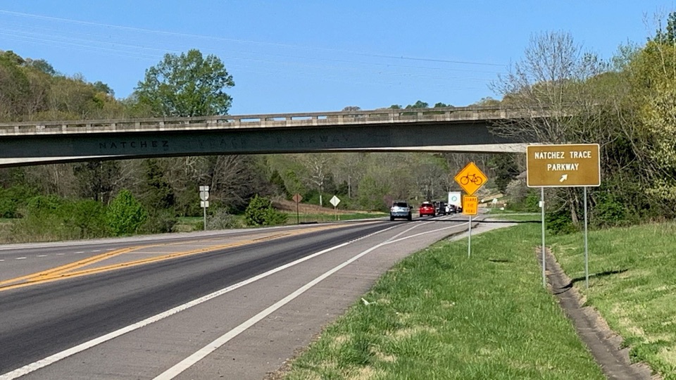 Sight · 4.3 mi awayNatchez Trace Parkway Northern TerminusUnassuming ramp off Highway 100 where the Parkway begins
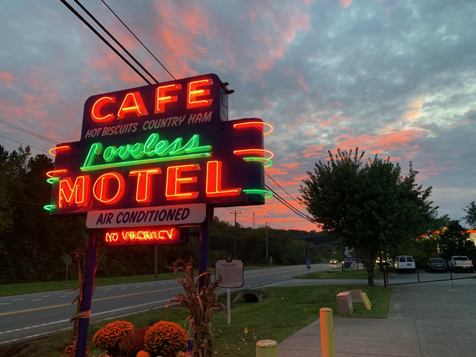 Restaurant · 4.4 mi awayThe Loveless CafeScratch biscuits and fried chicken under a neon roadside sign
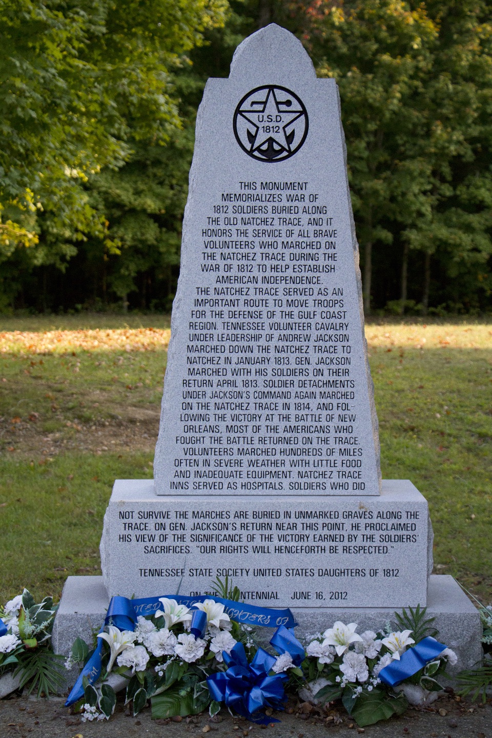 Sight · 8.4 mi awayWar of 1812 MemorialRoadside tribute to volunteers who marched hundreds of hard miles
Parkwolf’s Natchez Trace ranking

The audio tour guide for the drive, plus offline maps, trails, and wildlife heatmaps for when the signal drops.