Mount Robert

Classic ridge loop with big Lake Rotoiti views and a cosy hut
Mount Robert, Nelson Lakes National Park
InsideNelson Lakes National Park

Overview

Mount Robert is the classic half‑day alpine loop here: a well‑formed, well‑marked 9 km circuit that climbs through beech forest to an open ridge with sweeping views of Lake Rotoiti. Expect roughly 4–5 hours on trail (fit parties often manage 3–4) and about 550–650 m of ascent. It’s exposed above the treeline, so pick a clear day and bring layers.

Route choices (clockwise wins)

  • Up Pinchgut Track: steeper zigzags on the mountain’s face, then cool beech forest before emerging onto an airy ridge near Relax Shelter.
  • Across the ridge: short, open cruising with big lake vistas.
  • Down Paddy’s Track: gentler descent across the open face with scree gullies and near‑constant views back to the lake.

Most hikers go clockwise (up Pinchgut, down Paddy’s) for shade early and better‑facing views on the way out.

Facilities on the loop

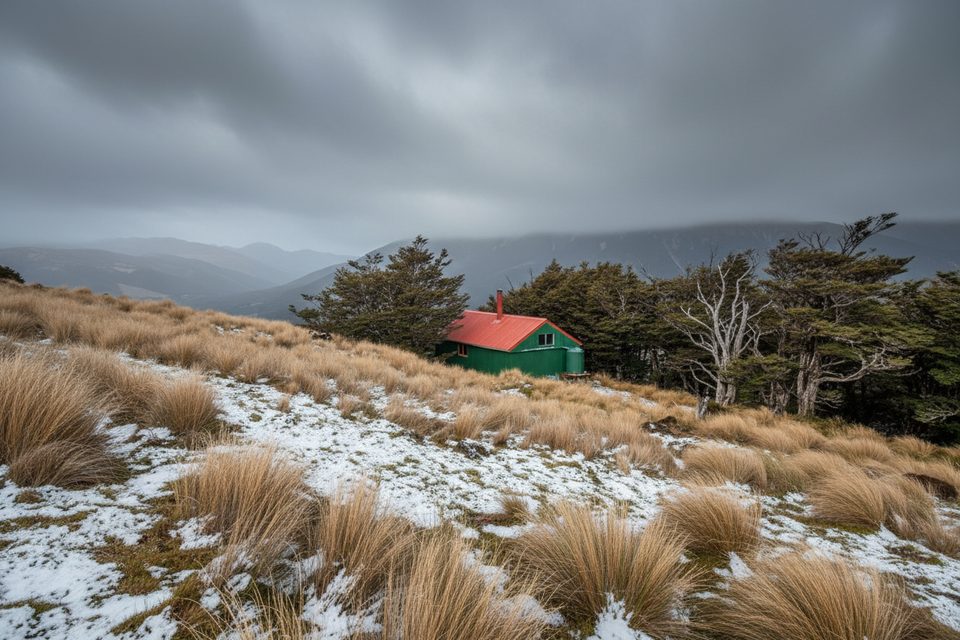
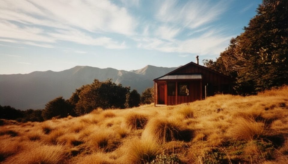
  • Bushline Hut: 14 bunks, a great lunch/overnight stop; bookings are required. Tank water must be boiled.
  • Relax Shelter: simple ridge shelter.
  • Trailheads: upper car park (Pinchgut start) has toilets; lower car park serves Paddy’s. Finish at the lower car park and you’ll walk 10–15 minutes up the gravel road if you started high.
  • No treated water at trailheads—carry what you need.

Scenery and ecology

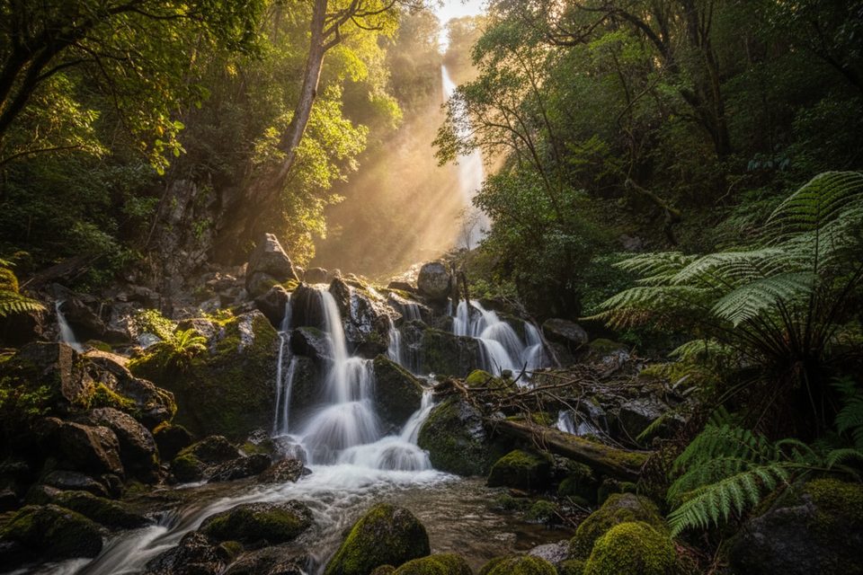
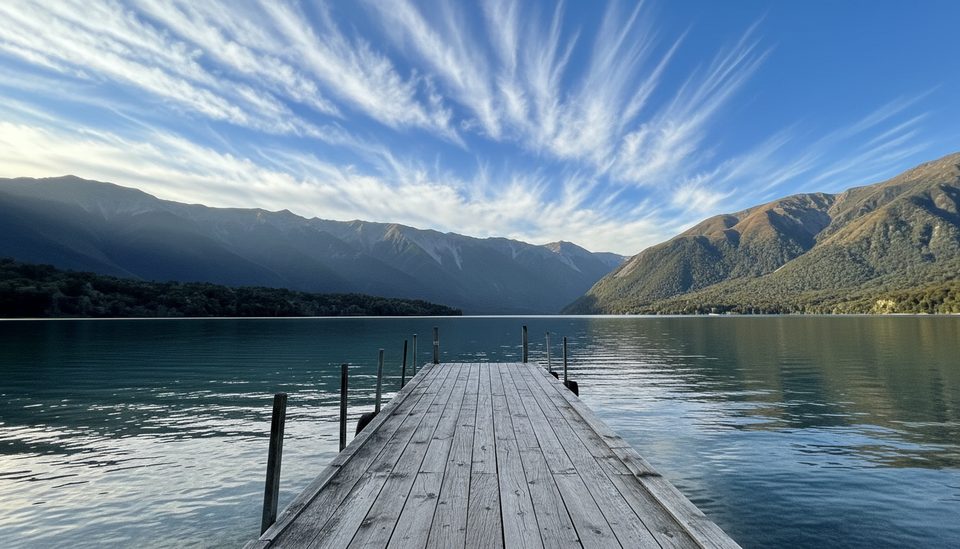
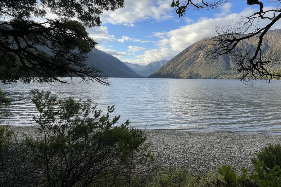
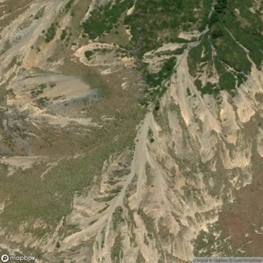
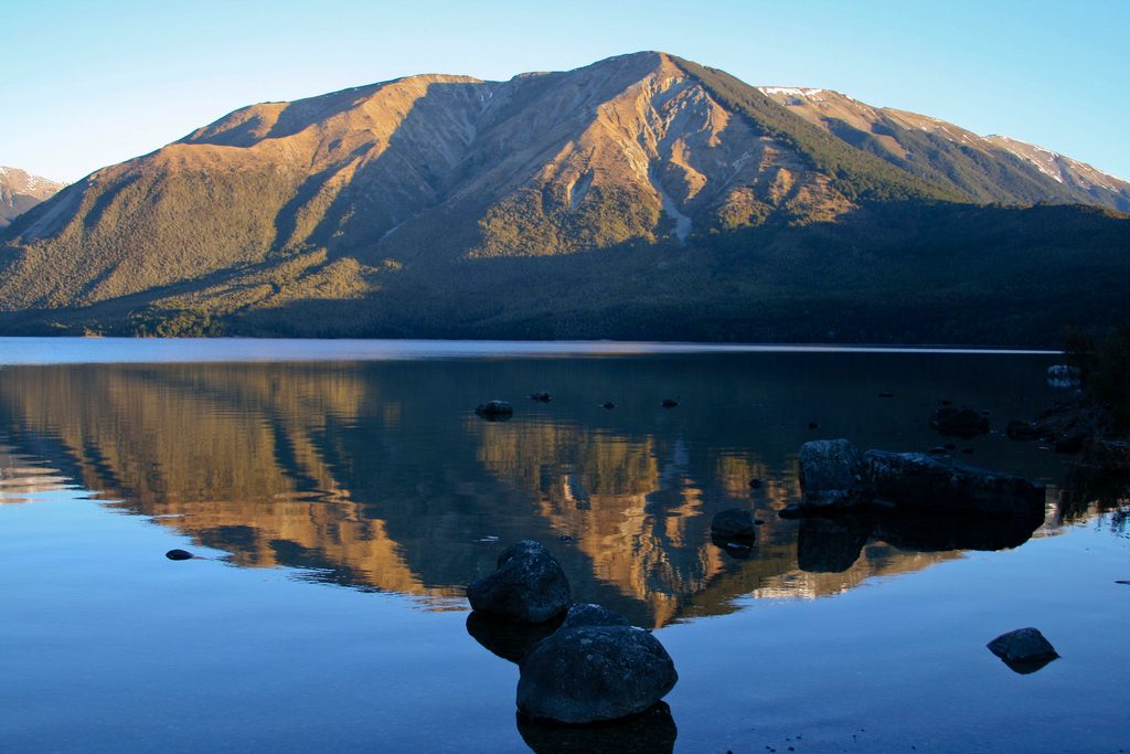
Lower slopes show regenerating kānuka and beech; higher up you’ll hit alpine herbs, shrubs, and snow tussock with broad lake and range panoramas. The open faces and scree tell a story of historic clearing and erosion. It’s a photogenic ridge day, and sunrise on a clear morning can be magic.

Safety and conditions

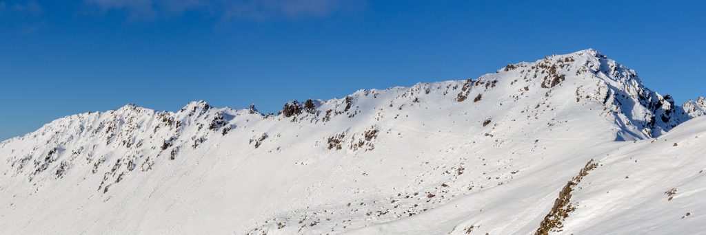
Above the treeline it’s very exposed—conditions change fast. Expect steep sections and a few scree crossings on Paddy’s. In summer, the sun is fierce and wasps can be common; in winter, icy patches and even the road can be slick. Tall alpine markers hint at how deep snow can get in season. Navigation is straightforward in clear weather, but always check the local forecast and come prepared.

What to bring

Sturdy footwear; windproof/rain layer; sunhat and sunscreen; 1.5–2 L of water per person plus snacks/lunch; insect repellent; a map/GPX and a charged phone or PLB if you have one.

Getting there

From St Arnaud, turn onto Mt Robert Road about 3.5 km beyond town and follow the final ~5 km of narrow gravel to the car parks. Larger campervans (over ~7 m) aren’t recommended near the end.

Best time to visit

Go on a clear, calm day. Start in the morning: the Pinchgut ascent is cooler then, and you’ll enjoy front‑row lake views on the Paddy’s Track descent. Winter can be icy; summer afternoons are hot and exposed.

Pros

  • Big ridge-top views over Lake Rotoiti and the St Arnaud Range
  • Well-marked 9 km loop linking Pinchgut and Paddy’s Tracks
  • Bushline Hut and Relax Shelter offer handy rest stops

Cons

  • Long exposed sections make wind, sun, and sudden weather a factor
  • Steep climbing and some scree crossings; tougher than it first looks
  • Narrow gravel access road; large campervans not recommended

Tips

  • Hike clockwise: up Pinchgut for shade, down Paddy’s for constant views.
  • Start at the upper car park for toilets; expect a 10–15 minute road walk back if you finish at the lower lot.
  • Carry all your drinking water—hut tank water must be boiled and may not be available in dry spells.
  • Check the alpine forecast and bring a windproof layer; the ridge is very exposed.
  • In warm months, pack insect repellent and watch for wasps and sandflies.
The Parkwolf tour guide sitting on a phone mounted in a car

Parkwolf Tour Guide

Like a tour guide in your car.

Save the places you found around Nelson Lakes, then let Parkwolf guide the drive between them.Download Parkwolf on the App Store