1 active New Forest alert
- CautionNew Forest outdoor-fire restrictionDo not use BBQs, campfires, stoves, outdoor camping equipment or other naked flames on the open Forest.Official details
Sight · New Forest National Park
Level seawall walking above tidal saltmarsh, with Needles views
Overview
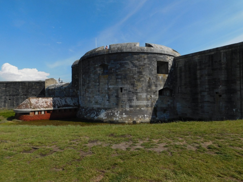
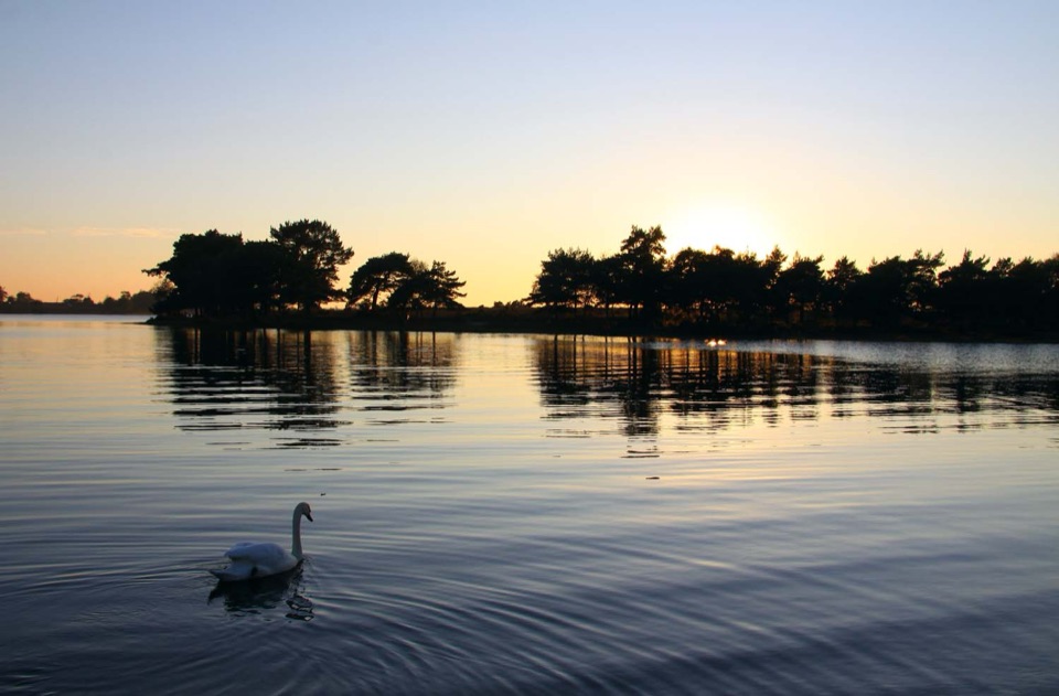
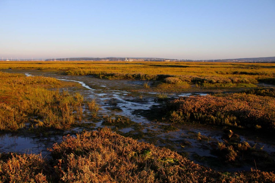
This is where the New Forest meets the Solent: a broad coastal wetland of tidal saltmarsh, mudflats, grazing marsh, brackish lagoons, shingle banks and reedbeds. You walk along the top of the seawall with water and channels on one side and marsh on the other, looking across to the Isle of Wight, the Needles, Hurst Spit and Hurst Castle with its lighthouse. It is open, big-sky walking rather than a woodland trail, and the light changes with every tide.
 Parkwolf’s verdictWhy stop here
Map
Plan your stop

The highest, rockiest slopes around here are a summer buffet for grizzly bears.
New Forest Tour Guide
Parkwolf is a GPS audio tour guide for New Forest National Park. As you drive, it chimes in with what’s ahead: hidden gems, upcoming stops, history, geology, and wildlife, right through your car’s speakers.
Recorded for this place
Keyhaven and Hurst Castle“You're approaching Keyhaven, the starting point for Hurst Castle, which stands at the far end of a shingle spit, well beyond the village.”
Plays as you drive up to Keyhaven Marshes in the Parkwolf New Forest Tour Guide.
More stories near here in the app
“Fantastic app with many points of information… It’s great to just turn on while you’re driving and it gives you an audio tour of the national Park. We love it!!!!”


Guide
The National Park Authority route is an easy 3.5-mile (5.6 km) loop of roughly 1 to 2 hours. It follows the Solent Way along the seawall, then turns inland along an ancient highway track before returning to Keyhaven. It is mainly level, with two gates fitted with accessible latches. Many people stretch it into a few hours by stopping often to scan the water, so allow more time than the distance suggests.
The adjacent Wildlife Trust reserve covers around 738 hectares and is a serious birdwatching spot.
Little egret, teal, avocet, marsh harrier, reed bunting, stonechat and linnet are all part of the cast here. Nothing is guaranteed, so bring binoculars and patience.
The flat ground and straight channels are not natural accidents. This coast was the heart of the Solent salt industry, established by medieval times and peaking with 163 saltpans in the early 18th century before the last saltern closed in 1865. The Moses, Maiden and Pennington salt docks survive as preserved historical features of the reserve, part of the story behind this shaped coastline.
Start near the Keyhaven public car park, where there are toilets and the Gun Inn nearby; a second access point is at the end of Lower Pennington Lane. Parking at Keyhaven is charged. The reserve itself is open at all times. Check the tide before you set out, since this is an intertidal landscape and the tide state changes what you can see and how much mud is exposed. Early or late light is best for views and photography.
There is no direct access onto the mudflats or saltmarsh, which are difficult and potentially dangerous to cross, so this is a place you view from the seawall rather than walk into. Only assistance dogs are allowed on the reserve, though dogs under control are fine on the adjacent seawall path. This is also a viewing-and-waiting sort of place: if you want a varied woodland walk or guaranteed wildlife sightings rather than patient scanning across open water, it may disappoint.
Wildlife
 28 sightingsRed DeerMost seen around 7 AMSighting map
 10 sightingsWhite-tailed EagleMost seen around 10 AMSighting map
 14 sightingsHarbor SealMost seen around 7 PMSighting map
 176 sightingsEuropean Fallow DeerMost seen around 7 PMSighting map
 93 sightingsWestern Roe DeerMost seen around 7 AMSighting map
 54 sightingsMute SwanMost seen around 6 PMSighting map
Sighting maps show where each species has been reported across New Forest. Wildlife moves, so no sighting is guaranteed.
Keep exploring
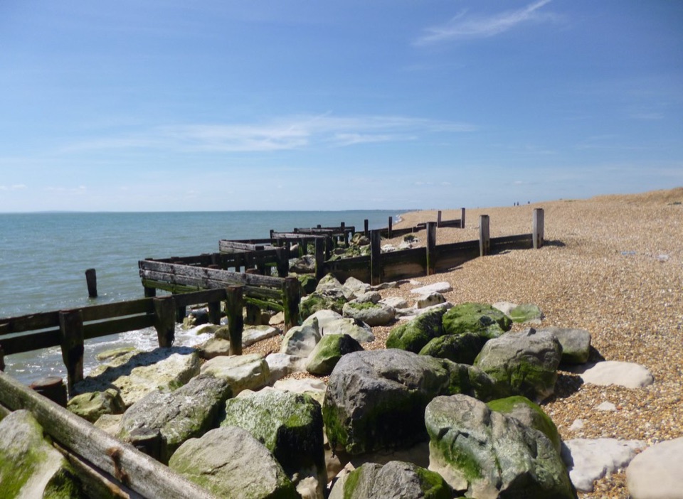 EasyHurst Beach Accessible Trail2.6 km · 1.5 hr · 0.7 km awayA short coast walk with harbour history and a shingle beach finish.
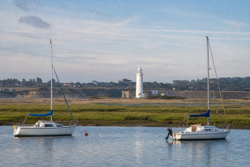 EasyKeyhaven Harbour2.4 km · 1.5 hr · 0.7 km awayA flat sea-wall walk to a jetty with Needles views.
 ModerateSolent Way96.6 km · 1.1 days · 0.7 km awayA 60-mile coast path from heath and harbours to marsh and shingle.
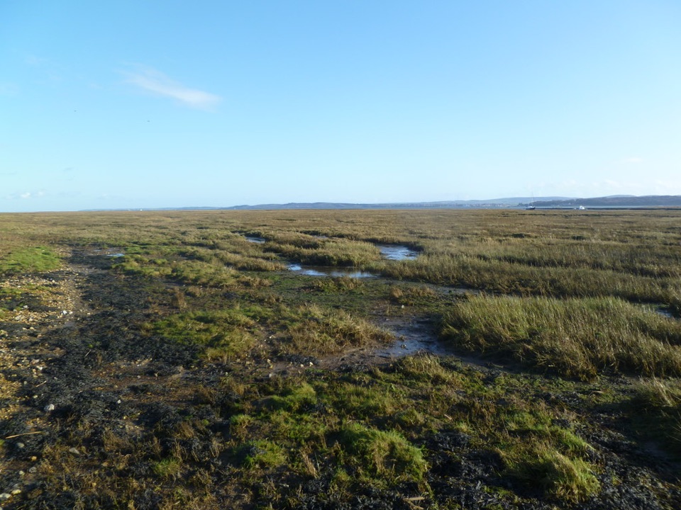 EasyKeyhaven Marshes5.6 km · 1.8 hr · 0.7 km awayFlat seawall walking, lagoon birds and Isle of Wight views.
 ModerateKeyhaven to Hurst Castle7.2 km · 2.5 hr · 0.7 km awayA Tudor fortress at the end of a long shingle spit.
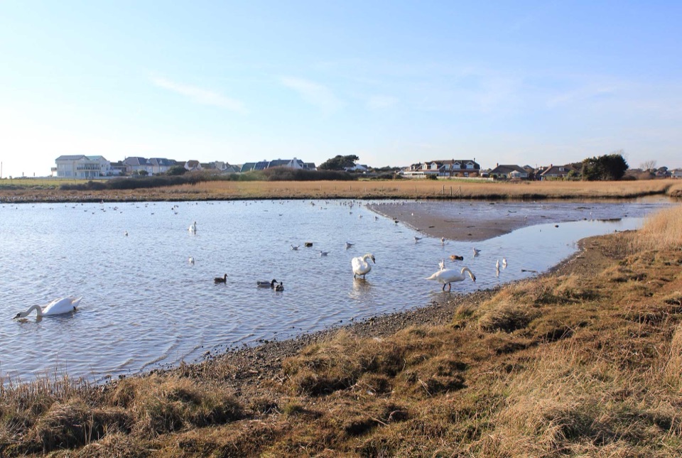 EasySturt Pond Walk1.8 km · 1 hr · 2 km awayA shoreline circuit with winter birds and a look toward Hurst Castle.
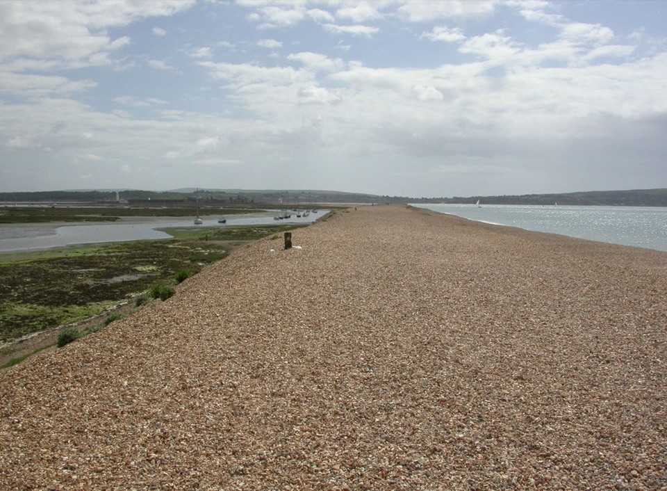 ModerateMilford on Sea Loop8 km · 3 hr · 2 km awayA shingle spit to a castle, then marsh paths back through Keyhaven.
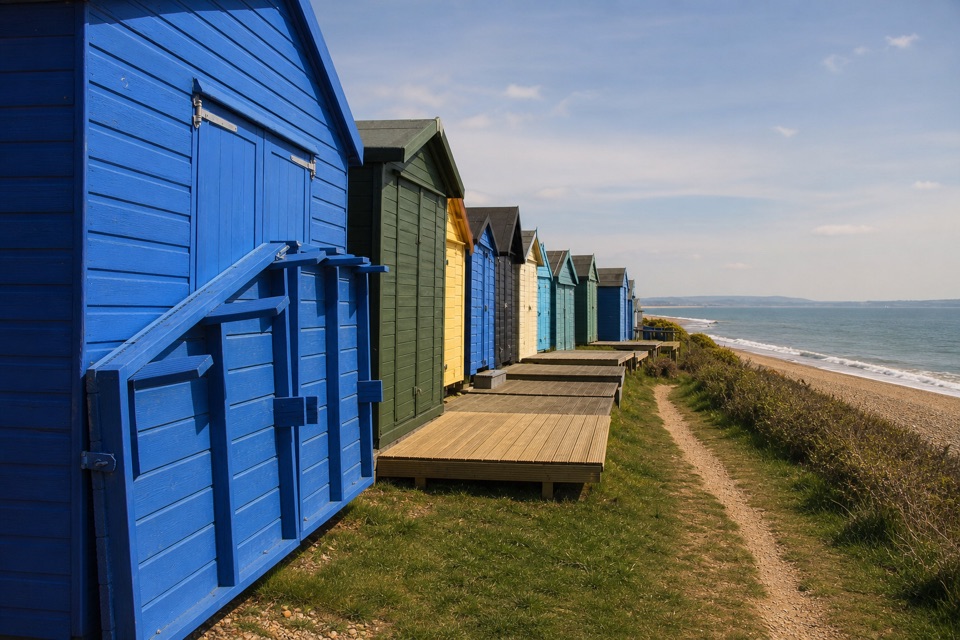 EasyHordle Cliffs3.2 km · 1.5 hr · 3.5 km awayEasy coastal miles, beach huts and wide Isle of Wight views.
Parkwolf’s New Forest ranking
The audio tour guide for the drive, plus offline maps, trails, and wildlife heatmaps for when the signal drops.