Buckland Rings in New Forest National Park

Sight · New Forest National Park

Buckland Rings

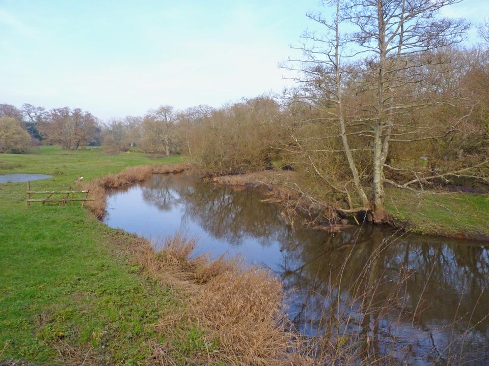
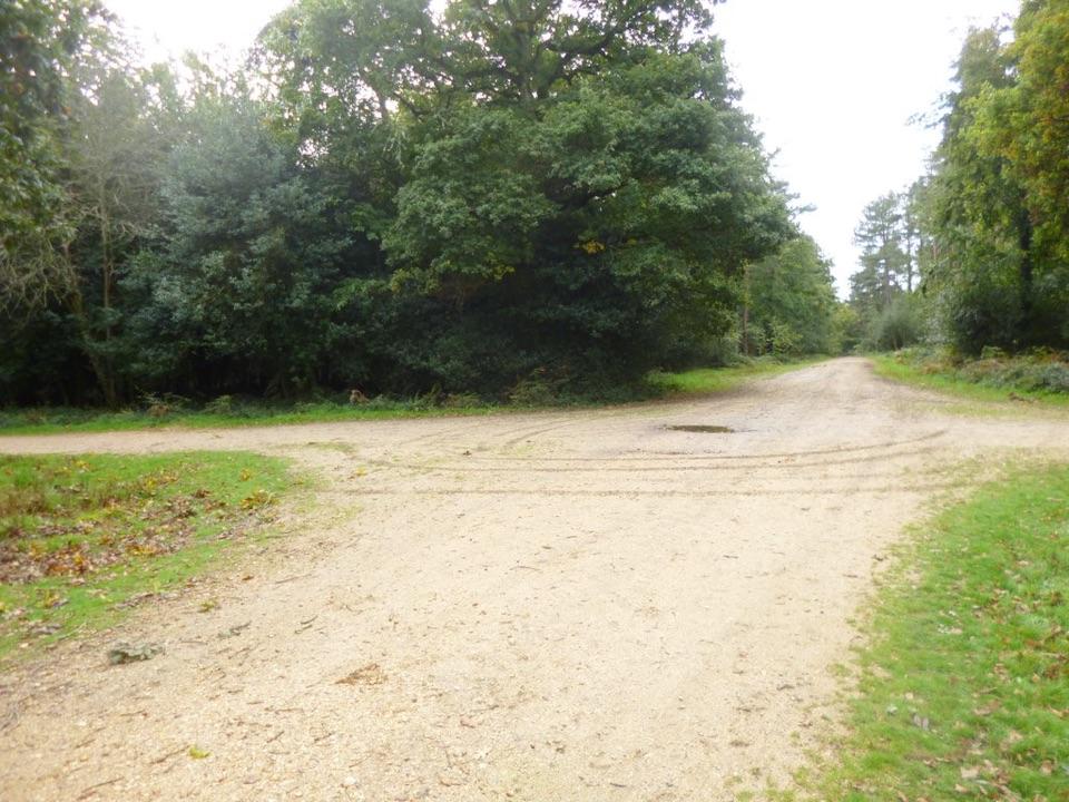
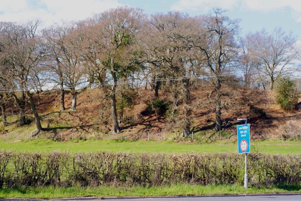
Triple banks and deep ditches of a well-preserved Iron Age hillfort

Photo: Peter Trimming, CC BY-SA 2.0, via Wikimedia Commons

Type
Sight
Nearest trail
1.4 km
Audio stories
20 nearby
  • Exhibit

Hear the audio tour

Buckland Rings
Download Parkwolf on the App StoreGet Parkwolf on Google Play

4.7 from 8,600+ ratings

Overview

About Buckland Rings

Why stop

  • Unusually clear banks and ditches
  • Short interpretive walk through woodland and grassland

Heads up

  • Compact experience
  • Busy-road crossing and uneven banks make access demanding

Map

Where it is

Loading the New Forest map
Full map
SightBuckland Rings50.77015, -1.55518
Keep this map with you offline in the Parkwolf app

Plan your stop

Before you go

3 active New Forest alerts

  • ClosureAnderwood car park and toilets closedAnderwood car park and its three public toilets are closed because of vandalism. Check Forestry England’s current access information before travelling.Official details
  • ClosureNorth Gate walking-trail footbridge closedThe footbridge on the North Gate walking trail is closed for safety until further notice.Official details
See all 3 alerts
A park ranger sits on a dash-mounted phone, talking, as Parkwolf’s Tour Guide plays “Army Cutworm Moths: A Grizzly Bear Buffet” on Grand Loop Road below Dunraven Pass in Yellowstone
Parkwolf Tour GuideThe highest, rockiest slopes around here are a summer buffet for grizzly bears.

New Forest Tour Guide

Your drive to Buckland Rings, narrated.

Parkwolf is a GPS audio tour guide for New Forest National Park. As you drive, it chimes in with what’s ahead: hidden gems, upcoming stops, history, geology, and wildlife, right through your car’s speakers.

See the New Forest audio tour

Recorded for this place

Buckland Rings
0:00 / 0:34
“You're approaching Buckland Rings, an Iron Age hillfort whose old defenses are still strikingly clear among the trees.”

Plays as you drive up to Buckland Rings in the Parkwolf New Forest Tour Guide.

More stories near here in the app

  • When the Marshes Made Salt
  • Boldre Village and Roydon Woods
  • Lymington Harbour and Marshes
  • The Homes Inside Buckland Rings
  • 283 audio storiesacross New Forest’s roads, triggered by GPS as you drive
  • Wildlife heatmapsfor Red Deer, White-tailed Eagle, Harbor Seal, and 13 more
  • Works offlinemaps, 70 trails, 53 places, and audio download before you lose signal
  • CarPlay readysimple controls built for the drive
★★★★★
“Fantastic app with many points of information… It’s great to just turn on while you’re driving and it gives you an audio tour of the national Park. We love it!!!!”
JMJamesApp Store review
Download Parkwolf on the App StoreGet Parkwolf on Google Play

4.7 from 8,600+ ratings

Guide

More about Buckland Rings

An Iron Age fort in the treesBuckland Rings is a well-preserved Iron Age hillfort just north of Lymington.

Buckland Rings is a well-preserved Iron Age hillfort just north of Lymington. Its banks and ditches still rise around an open interior, with trees growing over much of the ramparts. It makes a good short stop if you enjoy reading a landscape's history; don't expect standing stone walls or a large visitor attraction.

Walk the defencesOn the north, east and south sides there are three banks and two ditches; the west side has two…

On the north, east and south sides there are three banks and two ditches; the west side has two banks and one ditch. The inner bank rises about 6 metres above the ditch bottom. Follow the ramparts to appreciate the scale, and look for the former eastern entrance, where excavations found an inturned approach and post holes that probably held a gate. The interior is now open pasture.

The interpretation board shows short Meadow and Ramparts trails, and a public footpath skirts the northern boundary. Wayfinding can be vague among the trees, so take a look at the board before setting out.

Before the fortFinds beneath the ramparts include a hearth, worked flints and part of a Neolithic stone mace…

Finds beneath the ramparts include a hearth, worked flints and part of a Neolithic stone mace head: people were using this ridge before the Iron Age defences were built. Later farming softened parts of the earthworks, and Sway Road cuts through the outer bank on the west.

PracticalitiesThere is no designated car park, and access on foot involves a busy road crossing.

There is no designated car park, and access on foot involves a busy road crossing. Take particular care with children. Banks and ditches are steep and uneven and can be slippery when wet, so wear shoes with grip. Beech, oak, birch and sweet chestnut grow on the ramparts; the meadows may be cut for hay or grazed by cattle in summer, so keep to the trails.

Wildlife

Wildlife in New Forest

All New Forest wildlife maps

Sighting maps show where each species has been reported across New Forest. Wildlife moves, so no sighting is guaranteed.

Keep exploring

Near Buckland Rings

See it all on the map

Trails nearby

More stops nearby

Parkwolf’s New Forest ranking

Top sights in New Forest

All 53 places
  1. 1Beaulieu – National Motor MuseumSight
  2. 2Bolderwood ArboretumSight
  3. 3Hatchet PondSight
  4. 4Buckler's HardSight
  5. 5Hurst CastleSight
  6. 6Blackwater ArboretumSight

Take Parkwolf to New Forest.

The audio tour guide for the drive, plus offline maps, trails, and wildlife heatmaps for when the signal drops.

4.7 from 8,600+ ratings

Download Parkwolf on the App StoreGet Parkwolf on Google Play