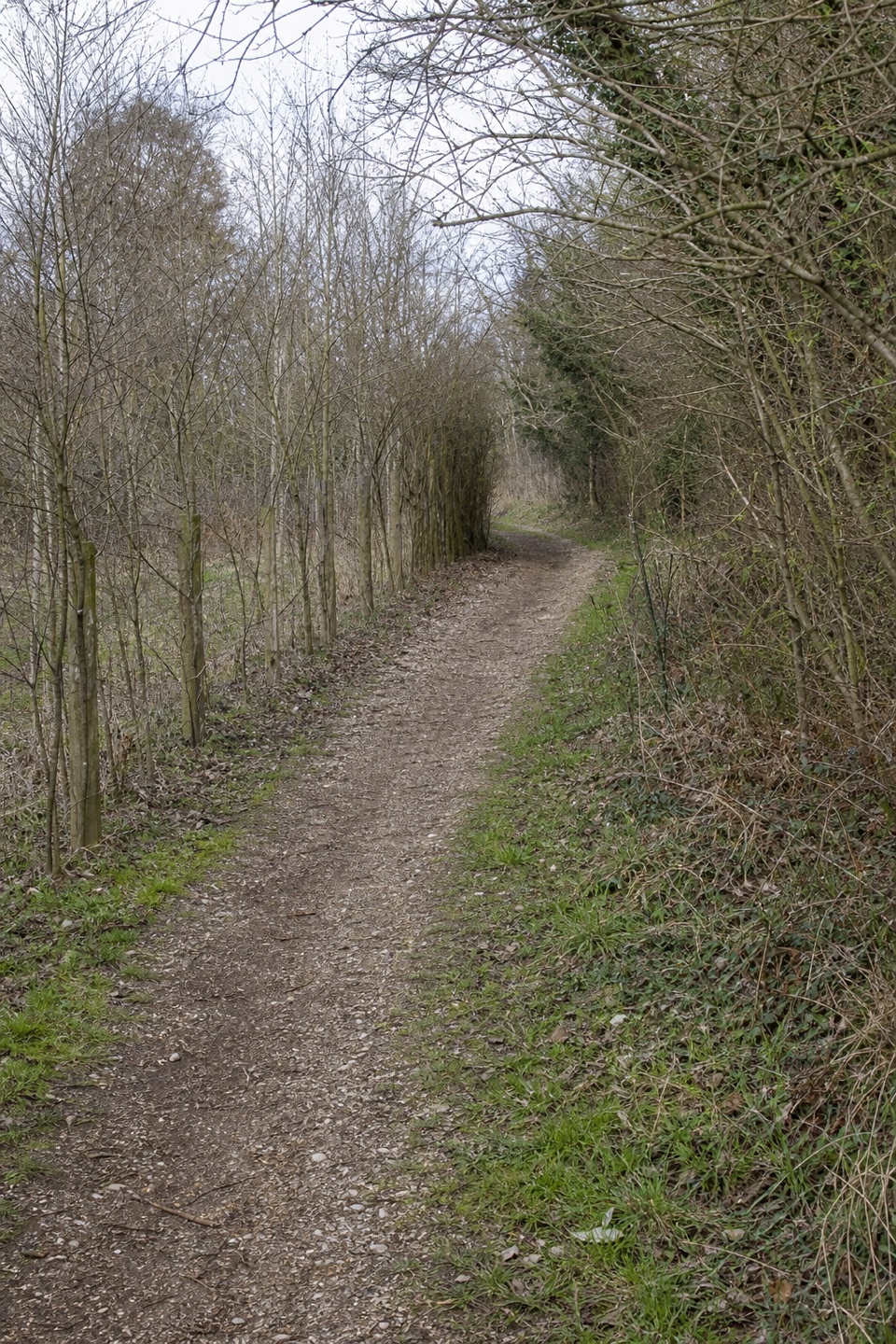
Parking
Milford-on-Sea is the published start, but there is no single long-distance trail car park. Arrange return transport from Emsworth Harbour before setting off.

#4 of 70 trails in New Forest
New Forest National Park, EN
A 60-mile coast path from heath and harbours to marsh and shingle.
Overview
Map & elevation
Plan your hike

The highest, rockiest slopes around here are a summer buffet for grizzly bears.
New Forest Tour Guide
Parkwolf is a GPS audio tour guide for New Forest National Park. As you drive, it chimes in with what’s ahead: hidden gems, upcoming stops, history, geology, and wildlife, right through your car’s speakers.
Recorded for this area
Keyhaven and Hurst Castle“You're approaching Keyhaven, the starting point for Hurst Castle, which stands at the far end of a shingle spit, well beyond the village.”
Plays on the road 0.2 km from the trailhead in the Parkwolf New Forest Tour Guide.
More stories near here in the app
“Fantastic app with many points of information… It’s great to just turn on while you’re driving and it gives you an audio tour of the national Park. We love it!!!!”


Trail guide
Solent Way is a 60-mile point-to-point walk from Milford-on-Sea to Emsworth Harbour, divided into eight day-walk sections. The route moves from shingle shore and the New Forest’s saltmarsh edge to river banks, harbours, city waterfronts and the open coast before reaching the old oyster town of Emsworth. This is not an uninterrupted beach walk: Southampton and Portsmouth are part of it, and three ferries link separated shore sections. Expect about 24 to 30 hours on foot over several days, before ferry waits and travel. The climbing is modest for the full distance; the real commitment is the length and the logistics. If you have one day, choose one of the published stages and enjoy a proper slice of the route.
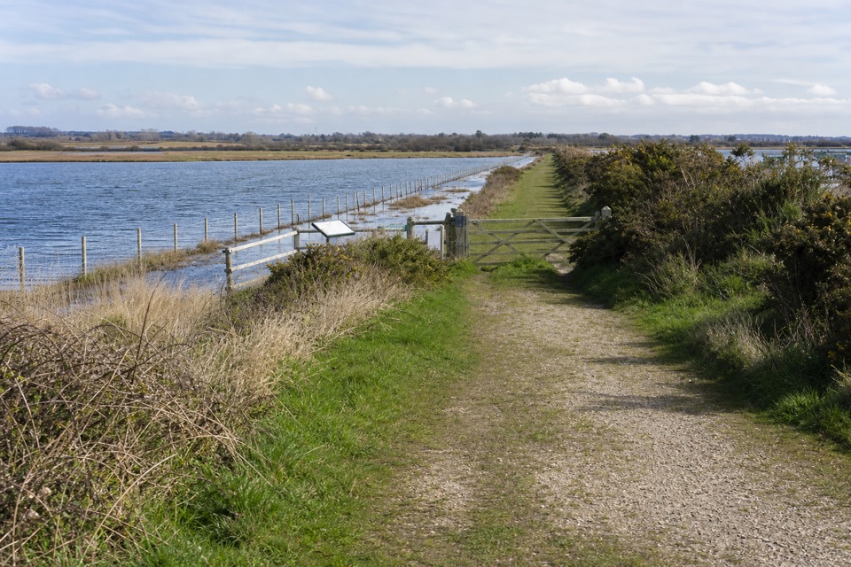
Near Milford, a separate detour follows Hurst Spit to Hurst Castle. It adds a shingle walk; return by retracing the spit or use the seasonal ferry to Keyhaven. The 60-mile core line leaves that optional castle excursion out. Once on the Keyhaven seawall, the gravel path crosses Lymington-Keyhaven Nature Reserve, with mudflats and saltmarsh below; cyclists share the path. Fishtail Lagoon’s nesting island is an easy landmark, and winter brings the largest numbers of wading birds. From Lymington, the trail crosses the river and heads inland past Sowley Pond, with a stretch on a quiet road to Bucklers Hard. It then follows the Beaulieu River to Beaulieu, climbs onto open Beaulieu Heath and descends on a winding old lane to Hythe. This is the route’s most New Forest stretch: heath, river and wooded lanes instead of promenades. The reserve’s saline pools and lagoons support foxtail stonewort, lagoon shrimp and starlet sea anemone, though they’re small species you’re unlikely to spot just by walking past.
At Hythe Pier, take the ferry to Southampton’s Town Quay. The route crosses Itchen Bridge to Woolston, returns to the shore, then passes Westwood Woodland Park, Netley Castle, Netley Abbey’s ruins and Royal Victoria Country Park before following the Hamble up to Hamble-le-Rice. Another ferry reaches Warsash. From there, the path skirts Hook-with-Warsash Nature Reserve’s mudflats, then runs past the low sand cliffs at Chilling and Bronwich, open farmland and the reedbeds and saltmarsh of Titchfield Haven. There are bird hides and a visitor centre at the reserve. From Hill Head, a long shingle beach leads past Lee-on-the-Solent and the forts around Stokes Bay to Gosport; the Gosport ferry crosses to Portsmouth. The final sections trade city waterfront for Langstone Harbour and Farlington Marshes, then pass the waterside village of Langstone and Warblington Castle before crossing fields and woods into Emsworth. Its millponds and oyster-fishing history make a good finish.
The Hythe, Hamble-Warsash and Gosport ferries are part of the through route, not optional shortcuts. Check their operating days and timetables before setting your stages; a missed crossing can break the day’s plan. The Hurst Castle ferry is a separate seasonal alternative. The route is waymarked by a tern on a green arrow. Lymington has cafés, pubs, restaurants and shops; Emsworth has plenty of places to eat, including seafood. Don’t count on regular food stops through the heath and marsh sections. Milford-on-Sea is the published start, but this is a point-to-point walk ending at Emsworth Harbour, so arrange return transport before setting off. From the Keyhaven seawall, frame Hurst Spit and the lighthouse above the saltmarsh; that layered view captures the route better than a close-up of the water.
Wildlife
 28 sightingsRed DeerMost seen around 7 AMSighting map
 10 sightingsWhite-tailed EagleMost seen around 10 AMSighting map
 14 sightingsHarbor SealMost seen around 7 PMSighting map
 176 sightingsEuropean Fallow DeerMost seen around 7 PMSighting map
 93 sightingsWestern Roe DeerMost seen around 7 AMSighting map
 54 sightingsMute SwanMost seen around 6 PMSighting map
Sighting maps show where each species has been reported across New Forest. Wildlife moves, so no sighting is guaranteed.
Keep exploring
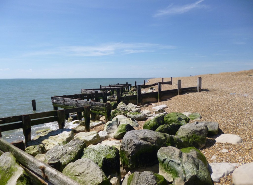 EasyHurst Beach Accessible Trail2.6 km · 1.5 hr · 0.2 km awayA short coast walk with harbour history and a shingle beach finish.
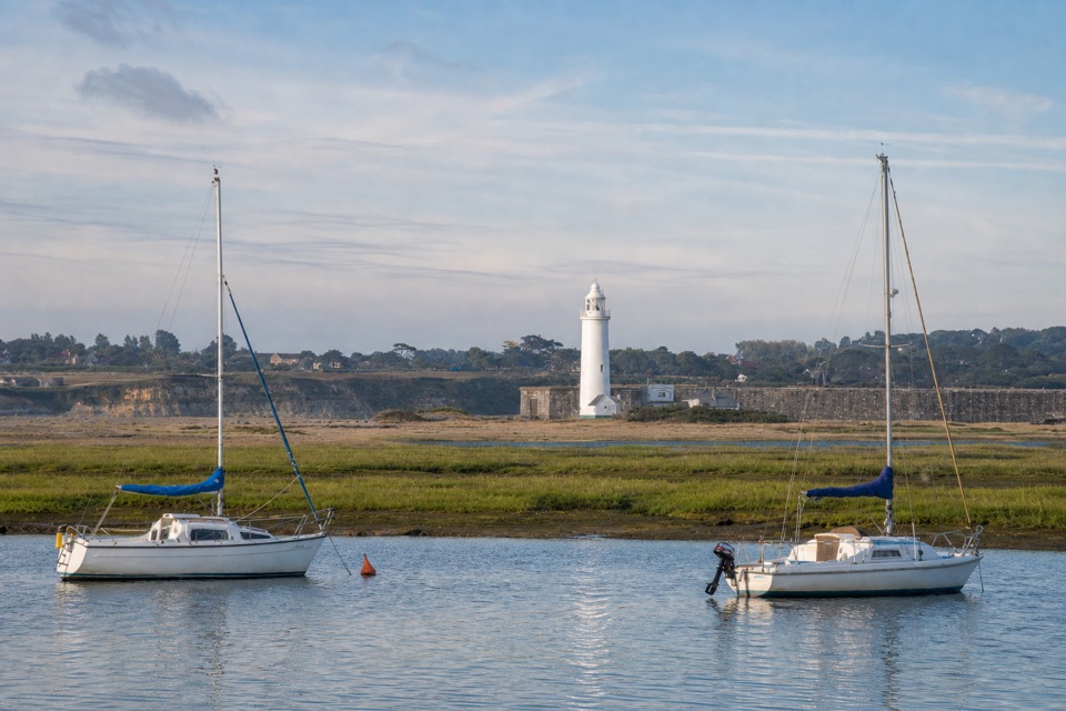 EasyKeyhaven Harbour2.4 km · 1.5 hr · 0.2 km awayA flat sea-wall walk to a jetty with Needles views.
 ModerateKeyhaven to Hurst Castle7.2 km · 2.5 hr · 0.2 km awayA Tudor fortress at the end of a long shingle spit.
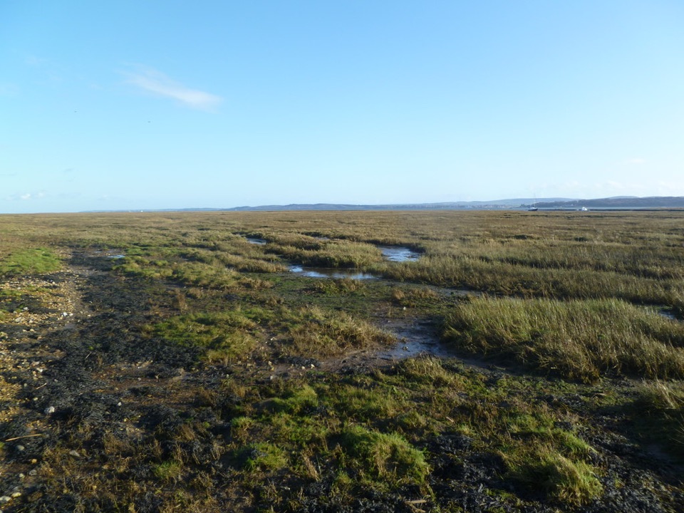 EasyKeyhaven Marshes5.6 km · 1.8 hr · 0.2 km awayFlat seawall walking, lagoon birds and Isle of Wight views.
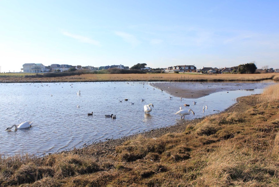 EasySturt Pond Walk1.8 km · 1 hr · 1.5 km awayA shoreline circuit with winter birds and a look toward Hurst Castle.
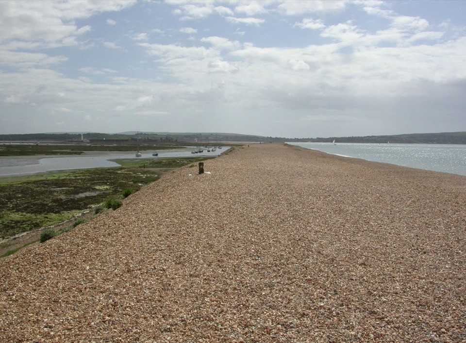 ModerateMilford on Sea Loop8 km · 3 hr · 1.6 km awayA shingle spit to a castle, then marsh paths back through Keyhaven.
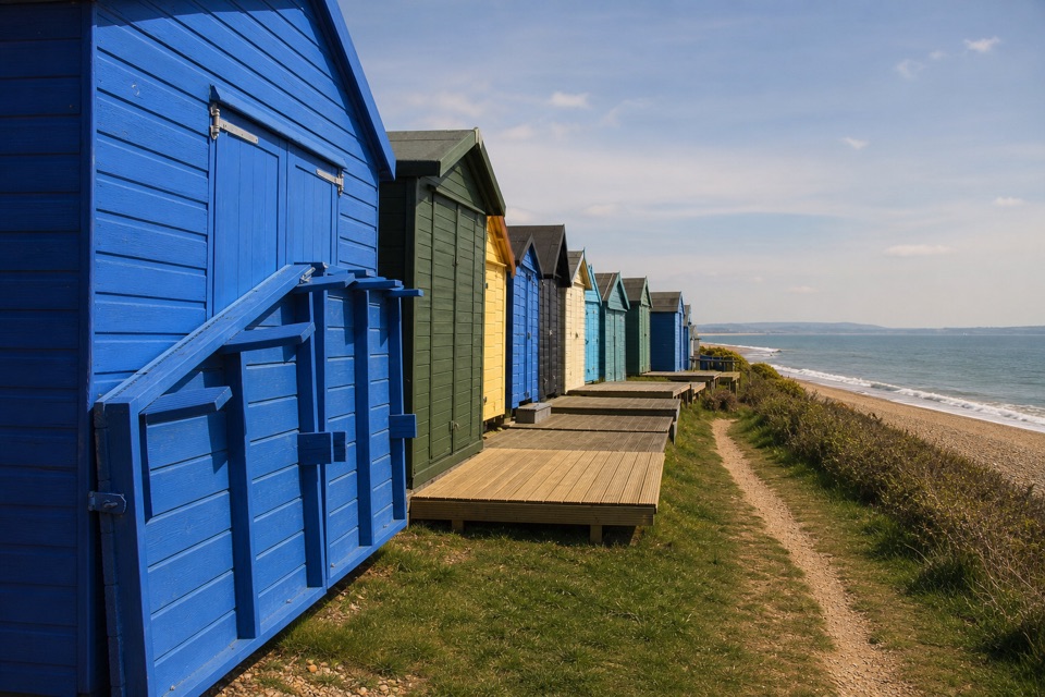 EasyHordle Cliffs3.2 km · 1.5 hr · 3.1 km awayEasy coastal miles, beach huts and wide Isle of Wight views.
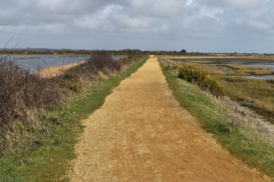 ModerateSea Air Trail8 km · 2.5 hr · 4.5 km awayFive one-way miles of sea wall between Lymington and Keyhaven.
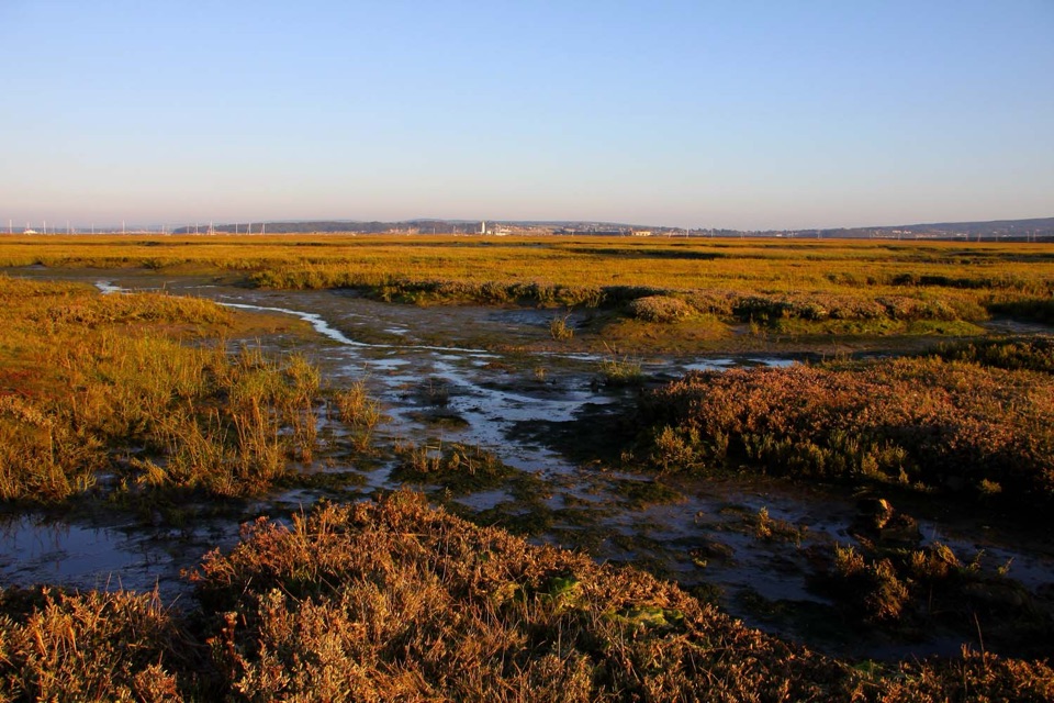 Sight · 0.7 km awayKeyhaven MarshesLevel seawall walking above tidal saltmarsh, with Needles views
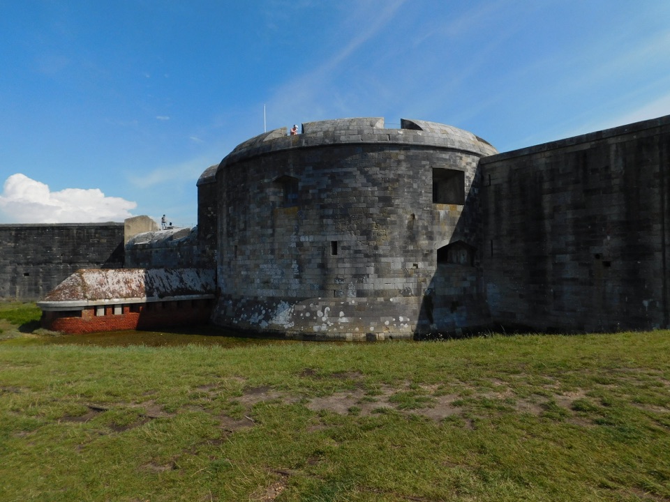 Sight · 1.8 km awayHurst CastleTudor gun fortress at a shingle spit's end, Charles I's prison
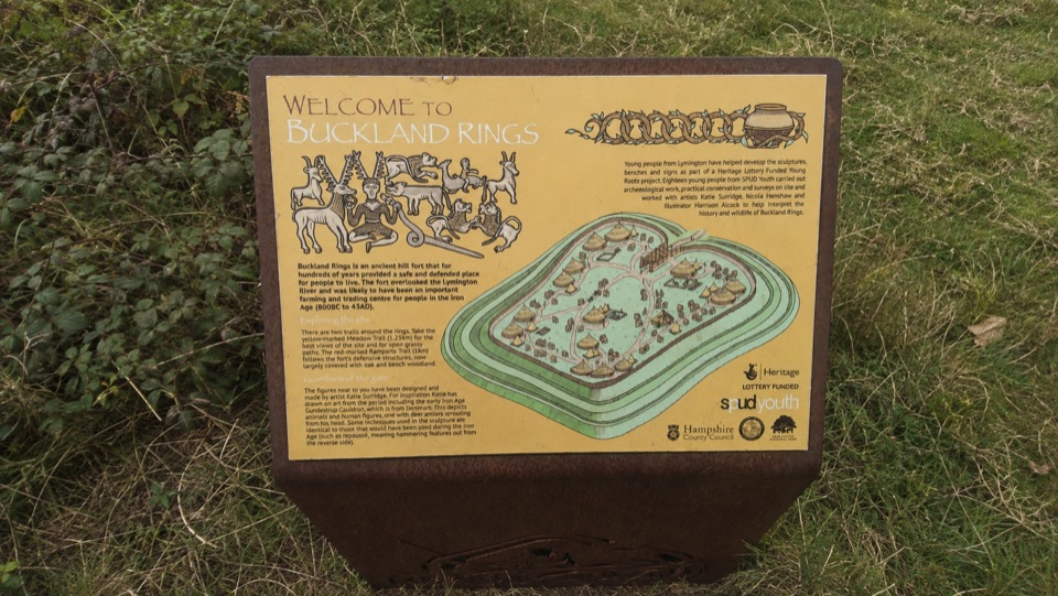 Sight · 5.6 km awayBuckland RingsTriple banks and deep ditches of a well-preserved Iron Age hillfort
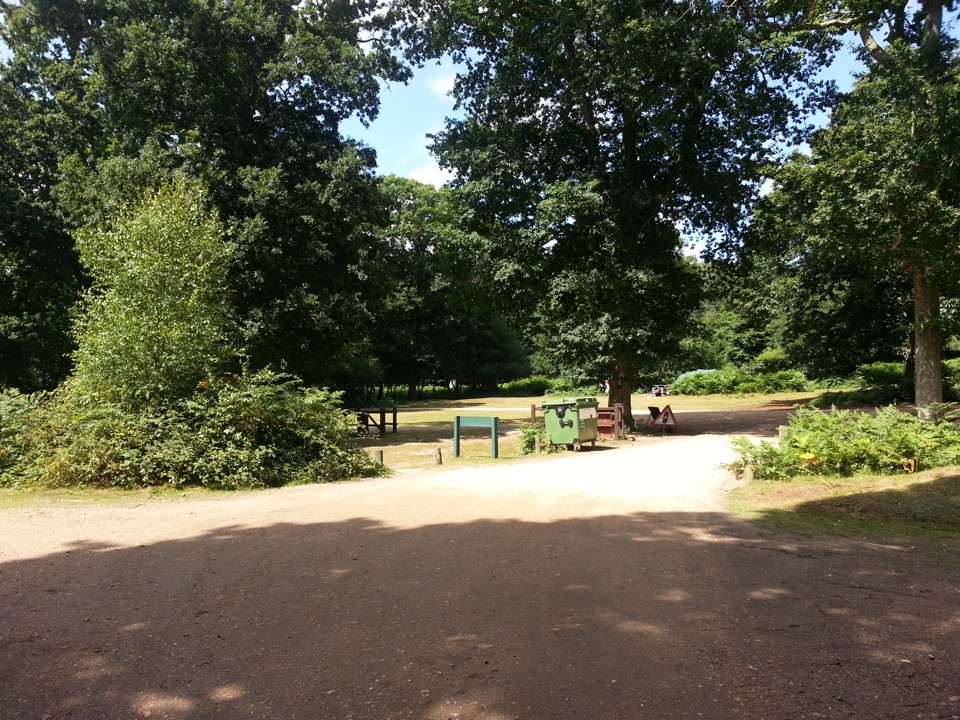 Campground · 10 km awaySetthorns CampsiteSelf-sufficient woodland camping among pines, oaks and roaming ponies
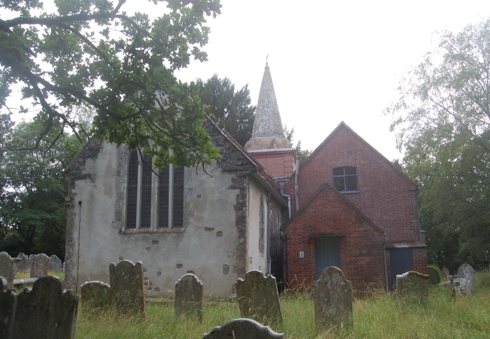 Sight · 10.5 km awaySt Nicholas' ChurchDomesday church with ANZAC graves and Brusher Mills' marker
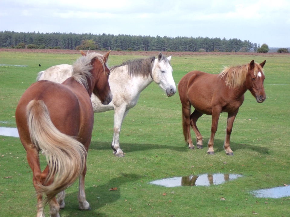 Picnic area · 11.1 km awayWilverleyFree parking, wide open lawn, grazing ponies and woodland loops
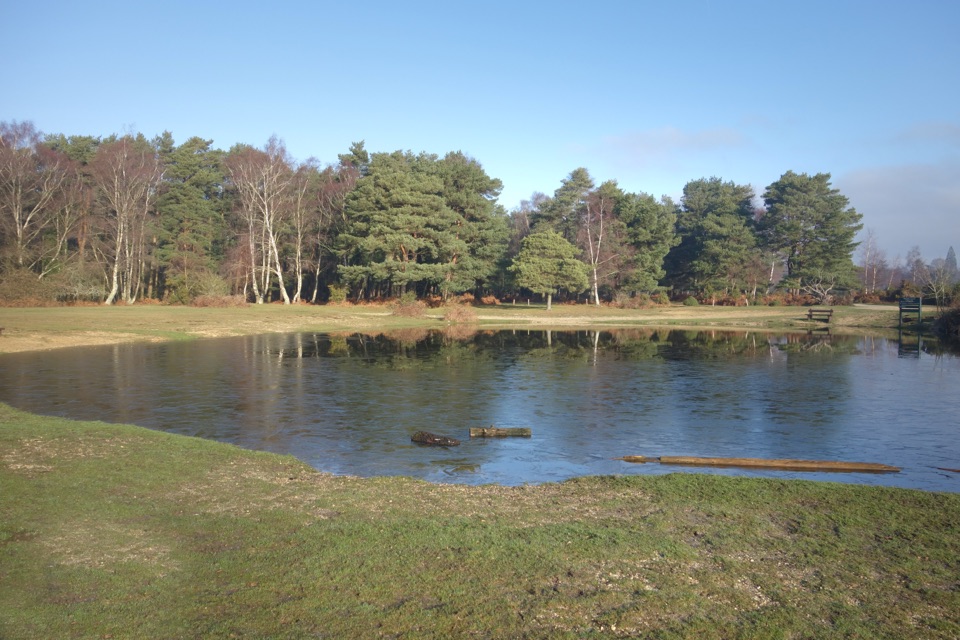 Campground · 11.1 km awayRoundhill CampsiteBig, family-friendly forest campsite with a pond and free-roaming ponies
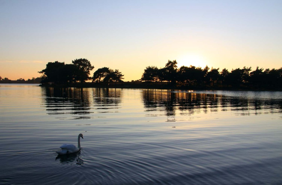 Sight · 11.7 km awayHatchet PondRare wetland wildlife, mirror-flat sunsets and ponies on the heath
Parkwolf’s New Forest ranking

The audio tour guide for the drive, plus offline maps, trails, and wildlife heatmaps for when the signal drops.