Parking
Start at Keyhaven Amenity Car Park. It has four accessible bays and easy-access toilets; parking is pay-and-display, and a pub is nearby.
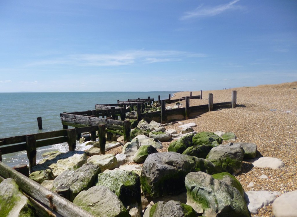
New Forest National Park, EN
A short coast walk with harbour history and a shingle beach finish.
Overview
Map & elevation
Plan your hike

The highest, rockiest slopes around here are a summer buffet for grizzly bears.
New Forest Tour Guide
Parkwolf is a GPS audio tour guide for New Forest National Park. As you drive, it chimes in with what’s ahead: hidden gems, upcoming stops, history, geology, and wildlife, right through your car’s speakers.
Recorded for this trailhead
Keyhaven and Hurst Castle“You're approaching Keyhaven, the starting point for Hurst Castle, which stands at the far end of a shingle spit, well beyond the village.”
Plays as you drive up to this trailhead in the Parkwolf New Forest Tour Guide.
More stories near here in the app
“Fantastic app with many points of information… It’s great to just turn on while you’re driving and it gives you an audio tour of the national Park. We love it!!!!”


Trail guide
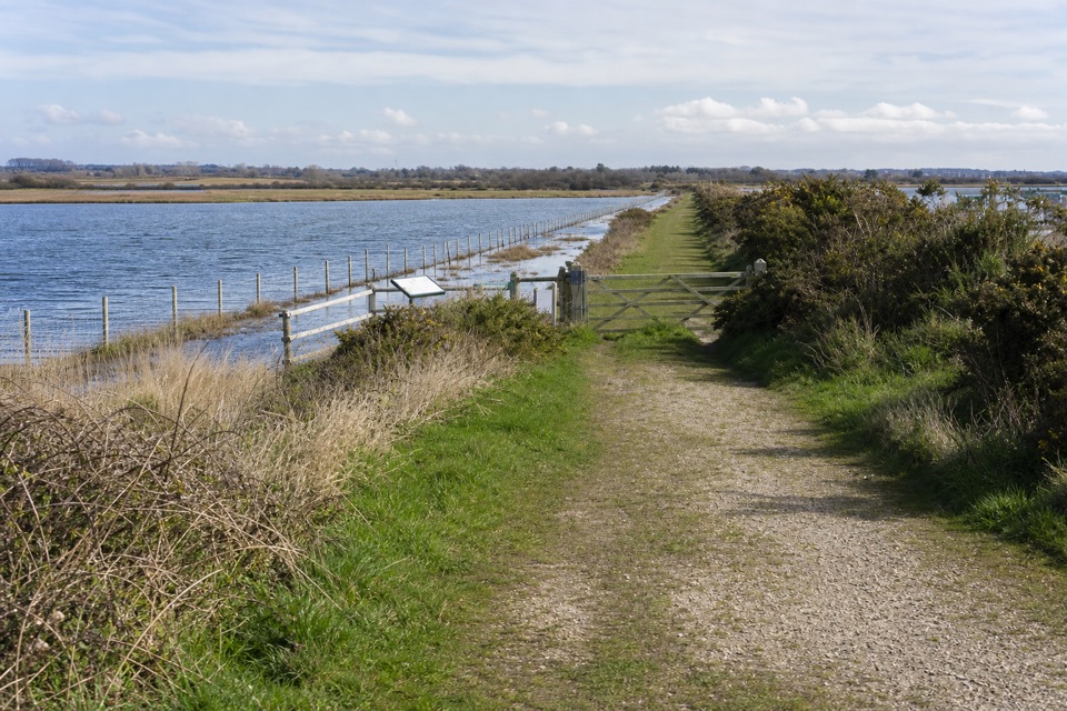
Hurst Beach Accessible Trail is a 1.6-mile out-and-back from Keyhaven Amenity Car Park to Hurst Beach and back. It starts on village roads, then follows a mostly level route along the sea wall beside the yachting channel and saltmarsh. Allow one to two hours; about 90 minutes gives you time for the benches and beach viewpoint. This is the short walk to Hurst Beach, not the longer Hurst Spit walk to Hurst Castle.
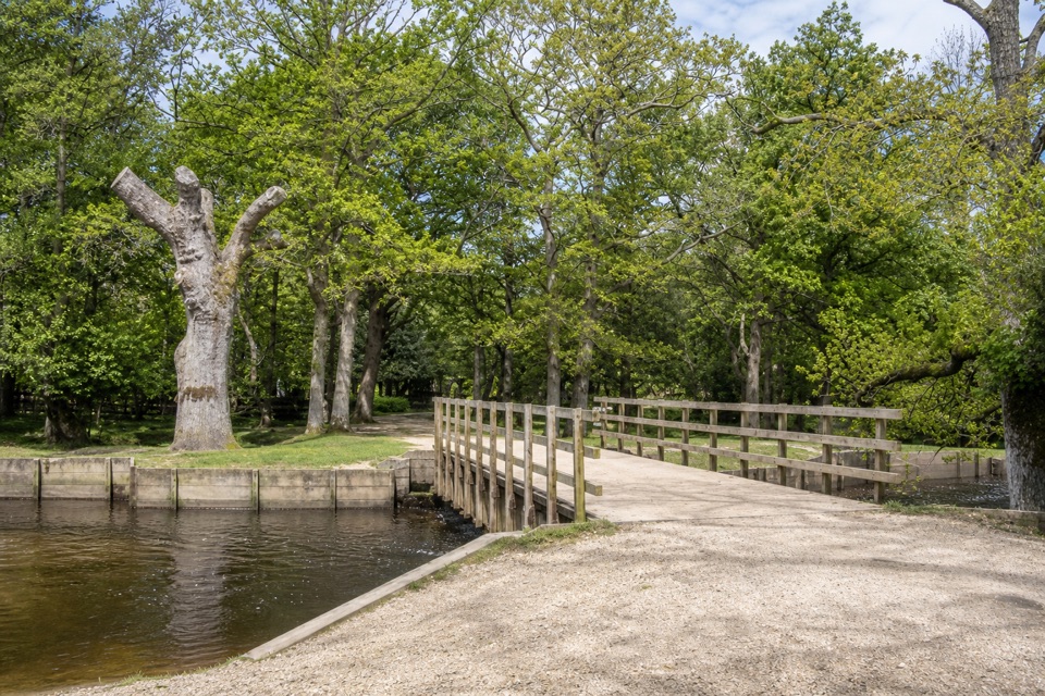
Leave the car park onto Keyhaven Road. At the Old Post Office, turn left and pass the yacht club to a waymarked gravel path on your right. Follow it onto the sea wall, where benches look across the channel toward the Isle of Wight. As the footpath bends, keep the saltmarsh and island on your left, then continue to Saltgrass Lane. At its sharp right bend, cross the wooden footbridge to Hurst Beach, or stop at the viewpoint and turn back. Most of the walk is level gravel or surfaced path; the finish is on shingle. At the benches, frame the channel in front of the island to show the distance across the water.
Keyhaven has a long harbour history: small boats have used it since at least 1206 to carry cattle and sheep from the Isle of Wight to the mainland water meadows. The starting car park has four accessible bays and easy-access toilets, with a pub nearby; parking is pay-and-display. The last stretch leaves the more predictable gravel and surfaced paths for shingle, so use the viewpoint as your turnaround if that footing does not suit you. If Hurst Castle is your goal, plan that as a separate, longer walk along the spit.
Wildlife
 28 sightingsRed DeerMost seen around 7 AMSighting map
 10 sightingsWhite-tailed EagleMost seen around 10 AMSighting map
 14 sightingsHarbor SealMost seen around 7 PMSighting map
 176 sightingsEuropean Fallow DeerMost seen around 7 PMSighting map
 93 sightingsWestern Roe DeerMost seen around 7 AMSighting map
 54 sightingsMute SwanMost seen around 6 PMSighting map
Sighting maps show where each species has been reported across New Forest. Wildlife moves, so no sighting is guaranteed.
Keep exploring
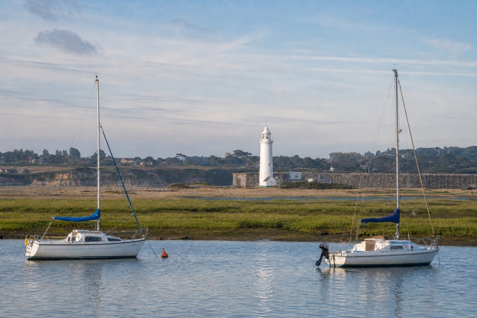 EasyKeyhaven Harbour2.4 km · 1.5 hr · At the trailheadA flat sea-wall walk to a jetty with Needles views.
 ModerateKeyhaven to Hurst Castle7.2 km · 2.5 hr · At the trailheadA Tudor fortress at the end of a long shingle spit.
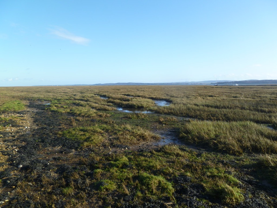 EasyKeyhaven Marshes5.6 km · 1.8 hr · At the trailheadFlat seawall walking, lagoon birds and Isle of Wight views.
 ModerateSolent Way96.6 km · 1.1 days · 0.2 km awayA 60-mile coast path from heath and harbours to marsh and shingle.
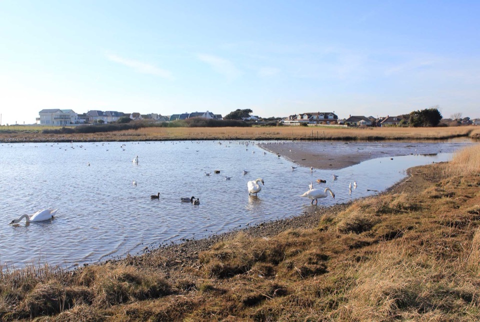 EasySturt Pond Walk1.8 km · 1 hr · 1.4 km awayA shoreline circuit with winter birds and a look toward Hurst Castle.
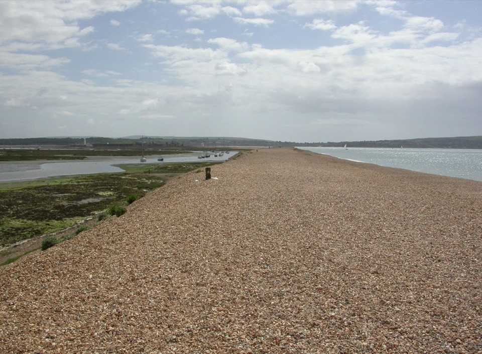 ModerateMilford on Sea Loop8 km · 3 hr · 1.5 km awayA shingle spit to a castle, then marsh paths back through Keyhaven.
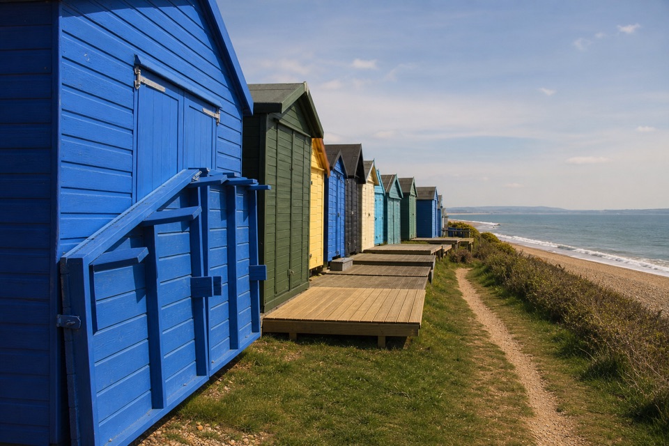 EasyHordle Cliffs3.2 km · 1.5 hr · 3 km awayEasy coastal miles, beach huts and wide Isle of Wight views.
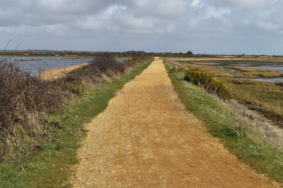 ModerateSea Air Trail8 km · 2.5 hr · 4.5 km awayFive one-way miles of sea wall between Lymington and Keyhaven.
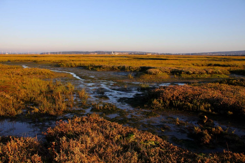 Sight · 0.7 km awayKeyhaven MarshesLevel seawall walking above tidal saltmarsh, with Needles views
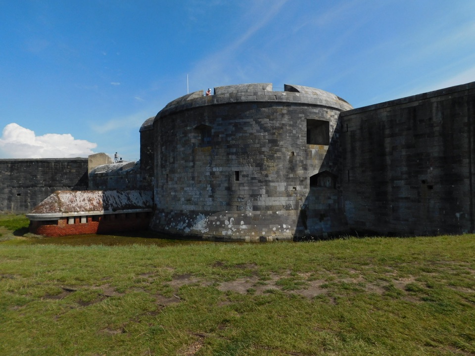 Sight · 2 km awayHurst CastleTudor gun fortress at a shingle spit's end, Charles I's prison
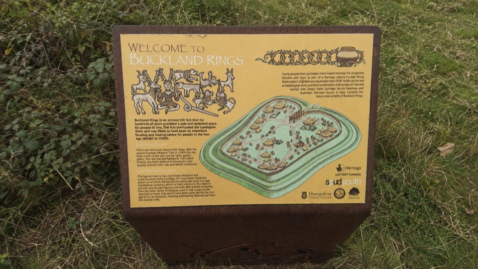 Sight · 5.4 km awayBuckland RingsTriple banks and deep ditches of a well-preserved Iron Age hillfort
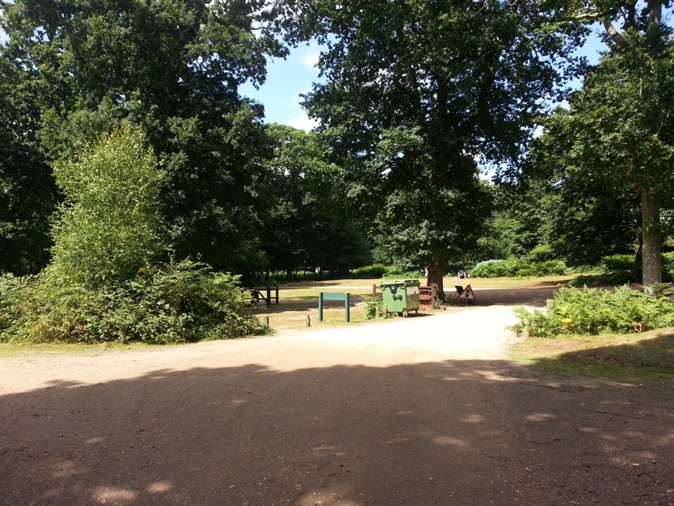 Campground · 9.8 km awaySetthorns CampsiteSelf-sufficient woodland camping among pines, oaks and roaming ponies
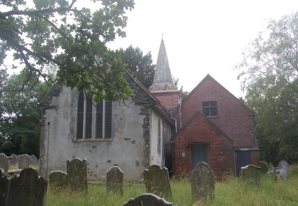 Sight · 10.3 km awaySt Nicholas' ChurchDomesday church with ANZAC graves and Brusher Mills' marker
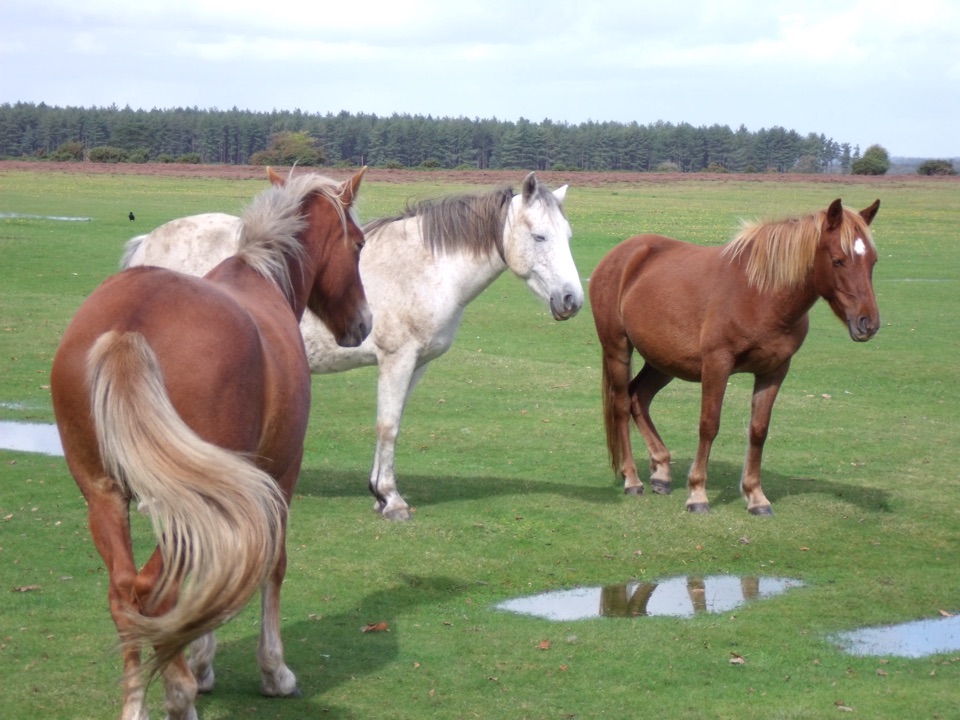 Picnic area · 10.9 km awayWilverleyFree parking, wide open lawn, grazing ponies and woodland loops
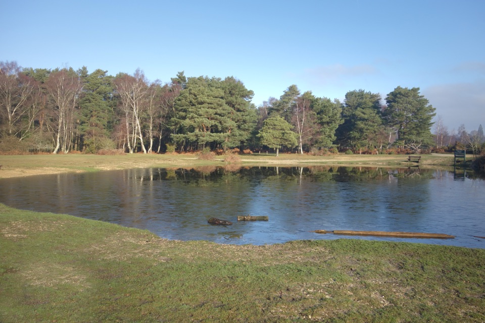 Campground · 11 km awayRoundhill CampsiteBig, family-friendly forest campsite with a pond and free-roaming ponies
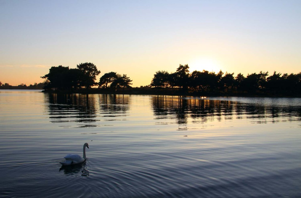 Sight · 11.6 km awayHatchet PondRare wetland wildlife, mirror-flat sunsets and ponies on the heath
Parkwolf’s New Forest ranking

The audio tour guide for the drive, plus offline maps, trails, and wildlife heatmaps for when the signal drops.