Parking
Start at Blashford Lakes Car Park on Ellingham Drove. It has two accessible bays, easy-access toilets and a café. The Education Centre has a separate car park across the road.
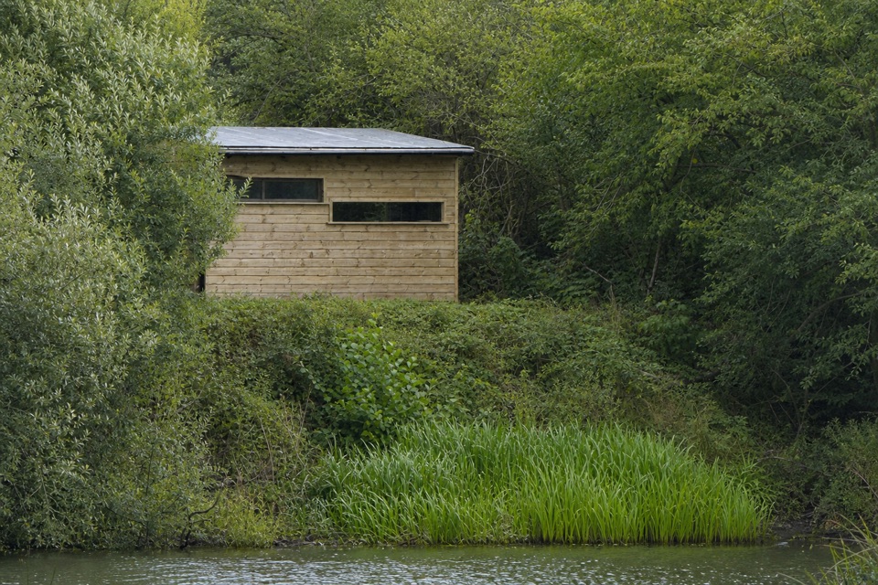
New Forest National Park, EN
A level wetland loop with two hides and a long boardwalk.
Overview
Map & elevation
Plan your hike

The highest, rockiest slopes around here are a summer buffet for grizzly bears.
New Forest Tour Guide
Parkwolf is a GPS audio tour guide for New Forest National Park. As you drive, it chimes in with what’s ahead: hidden gems, upcoming stops, history, geology, and wildlife, right through your car’s speakers.
Recorded for this area
The Butcher Bird on the Heath“In winter, a lone pale bird perched high above open heath is worth a closer look. It might be a great grey shrike, a scarce visitor to the New Forest. Look for a grey body, black eye mask and long tail.”
Plays on the road 0.8 km from the trailhead in the Parkwolf New Forest Tour Guide.
More stories near here in the app
“Fantastic app with many points of information… It’s great to just turn on while you’re driving and it gives you an audio tour of the national Park. We love it!!!!”


Trail guide
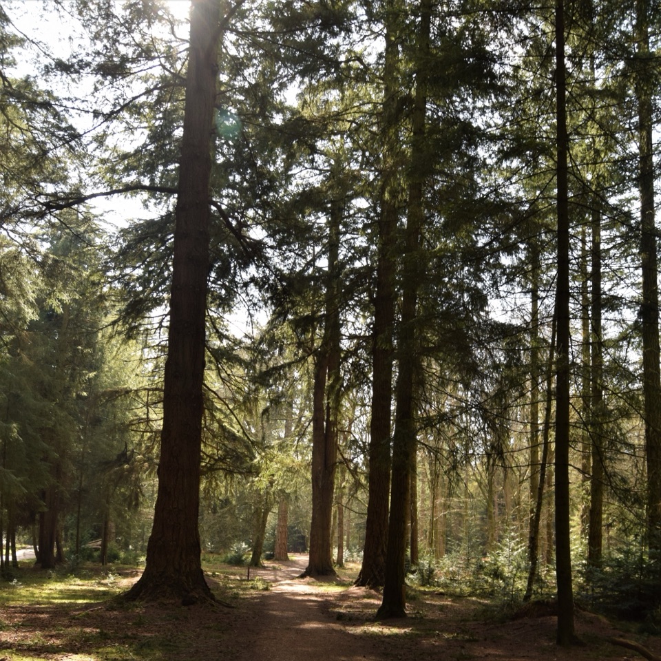
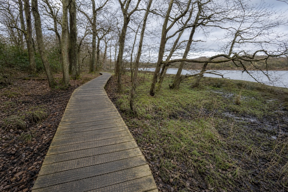
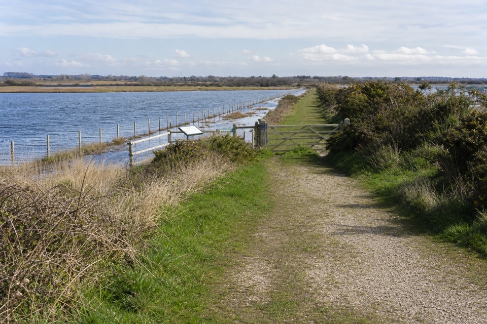
Blashford Lakes Accessible Walk is the reserve’s short, 0.75-mile loop from the main car park. It follows surfaced paths past two bird hides, a wetland boardwalk and Dockens Water. This is a small slice of the reserve’s wider 8 km trail network. The lakes began as flooded gravel pits; come for close-up birdwatching and a quiet hour, not a big hike.
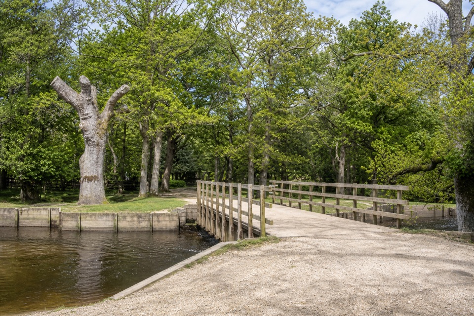
Head toward the Education Centre and Welcome Hut, then follow the path to the woodland hide and the larger hide across the path. A railed bridge leads onto a long boardwalk over wetland. At the next split, take the right-hand branch to another bridge over Dockens Water. Follow the shorter-return signs with Ellingham Lake on your left, cross the stream again and loop back beside the car park. Allow about an hour if you stop at the hides.
The circuit is mostly level, on compacted gravel, with ramps and space inside the hides for wheelchairs and mobility scooters. The gravel is uneven in places and can be muddy in winter. Only registered assistance dogs are allowed in the reserve.
Wildlife
 28 sightingsRed DeerMost seen around 7 AMSighting map
 10 sightingsWhite-tailed EagleMost seen around 10 AMSighting map
 14 sightingsHarbor SealMost seen around 7 PMSighting map
 176 sightingsEuropean Fallow DeerMost seen around 7 PMSighting map
 93 sightingsWestern Roe DeerMost seen around 7 AMSighting map
 54 sightingsMute SwanMost seen around 6 PMSighting map
Sighting maps show where each species has been reported across New Forest. Wildlife moves, so no sighting is guaranteed.
Keep exploring
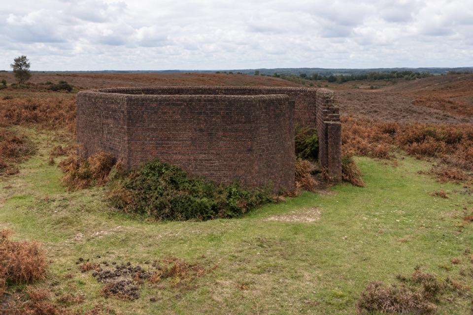 ModerateWalk to the Huff Duff6.9 km · 1.8 hr · 1.2 km awayFind a wartime direction-finding station on open heath.
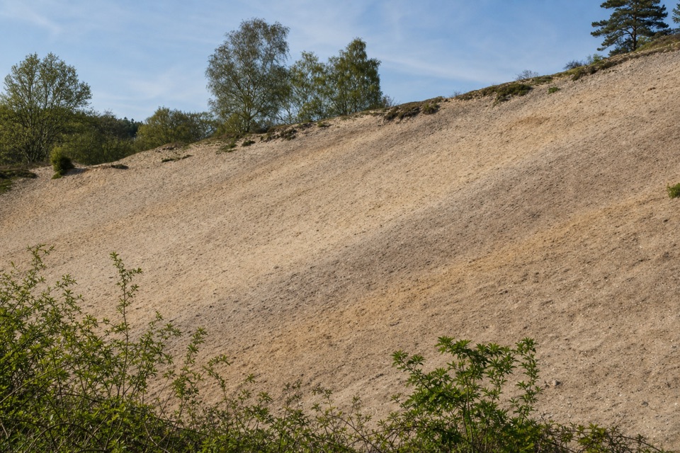 EasyRockford Common Walk4 km · 1.5 hr · 1.2 km awayHeath views, quarry and an old hollow way make an easy loop.
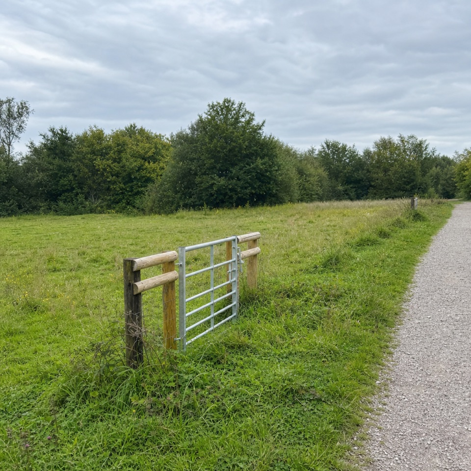 EasyRingwood, Rockford Common and Beyond5.6 km · 1.8 hr · 1.5 km awayStart on grass, climb onto heath, finish beside a stream.
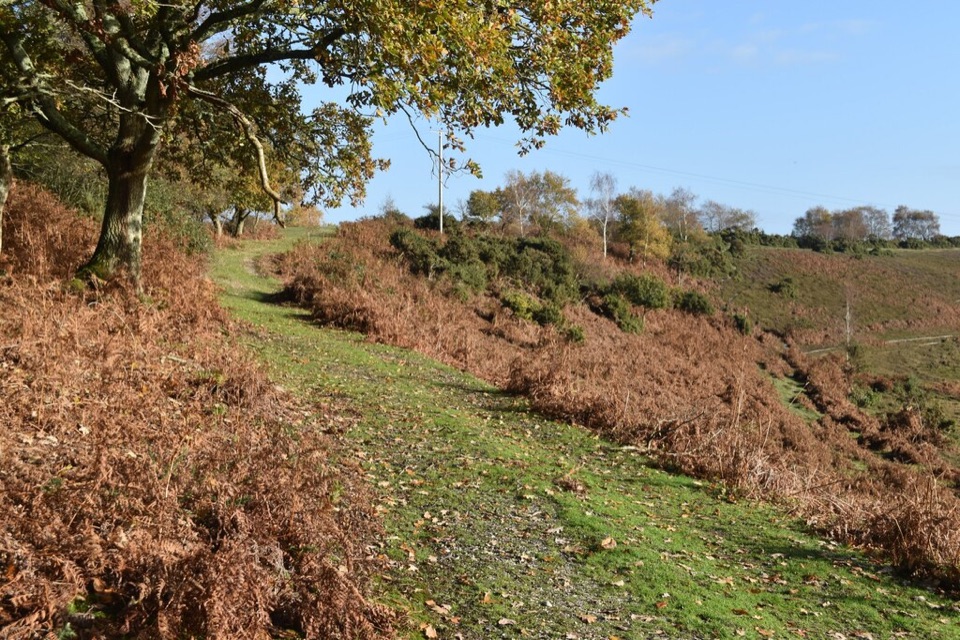 ModerateHockey’s Farm Loop4 km · 1.5 hr · 2.4 km awayA short heathland circuit starts and ends beside the farm café.
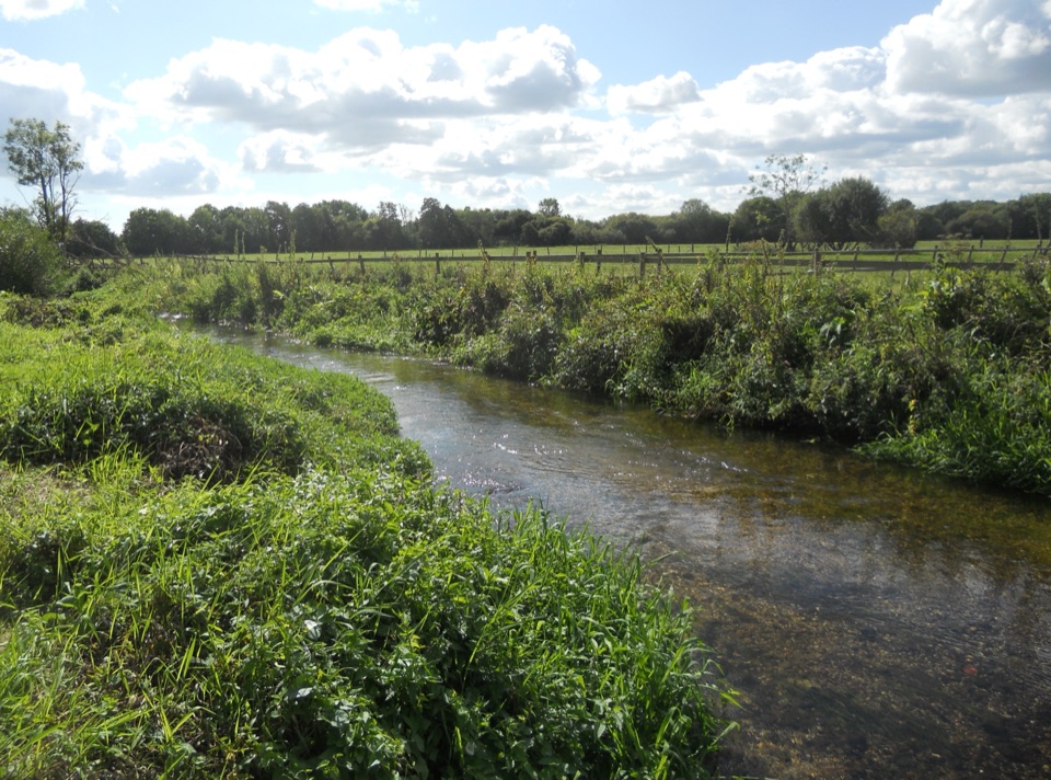 EasyRingwood Town Trail1.6 km · 1 hr · 2.8 km awayA pocket park, old market town, and Avon bridges in one mile.
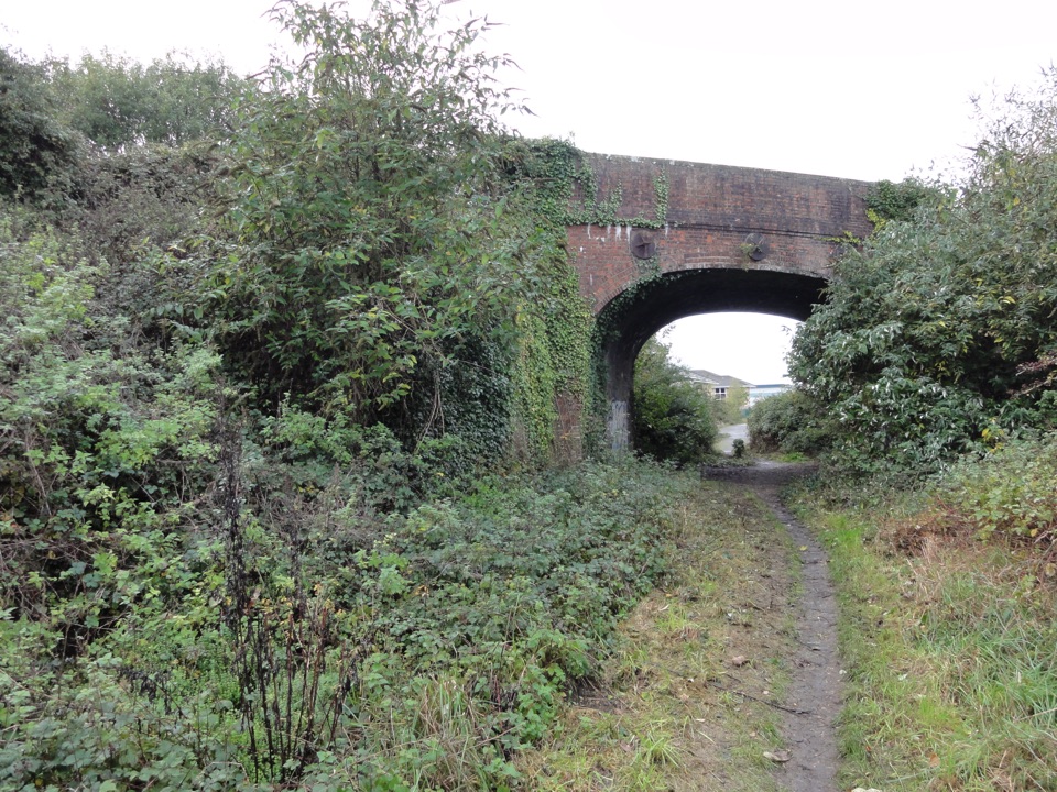 EasyRingwood, Crow and Kingston7.2 km · 2.3 hr · 2.8 km awayA 4.5-mile Ringwood loop linking old railway and valley paths.
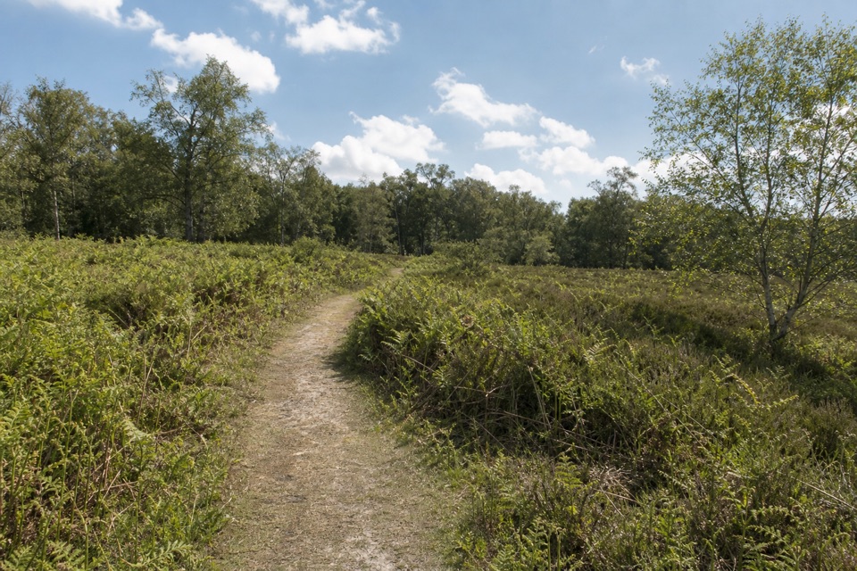 EasyA Short Stroll Around Hightown1.9 km · 25 min · 3.8 km awayA short loop through grazed lawn, gorse and ancient birches.
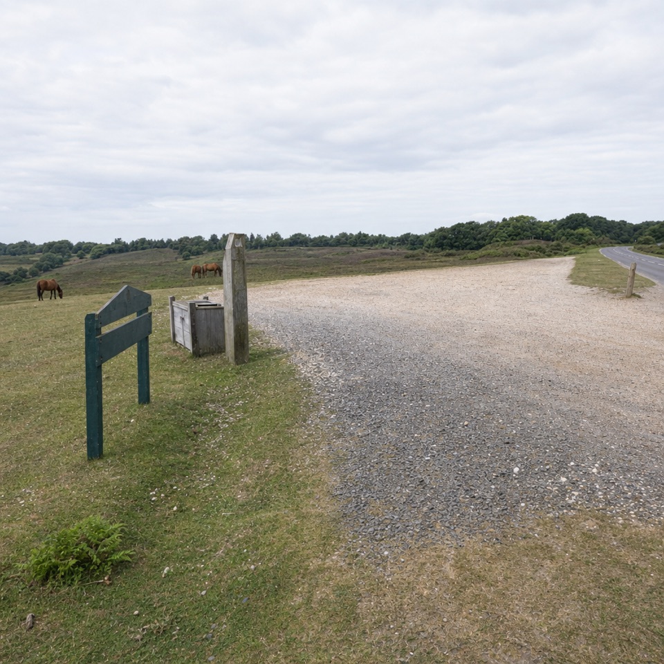 EasyPicket Post Walk3.2 km · 1 hr · 4.6 km awayA short, easy heath circuit starting at Picket Post Car Park.
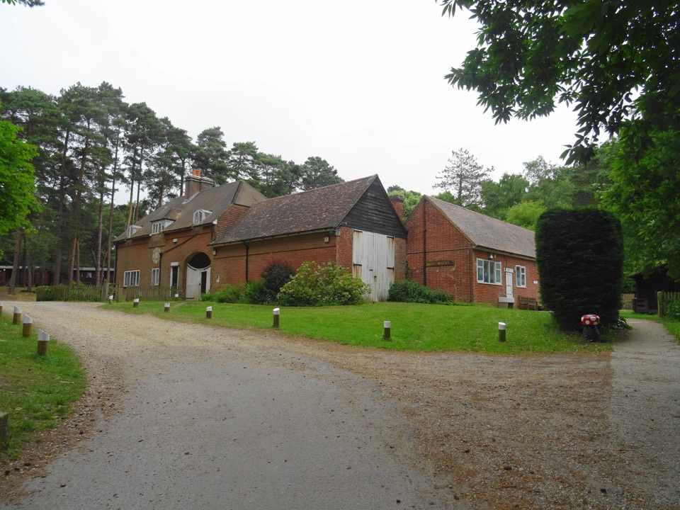 Sight · 8.6 km awayAvon Tyrrell Outdoor Activity CentreZip wires, lakes and woodland around a Grade I Victorian mansion
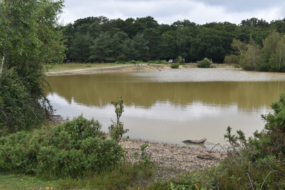 Sight · 8.7 km awayCadman's PoolSmall heath-edge pool with an easy 0.3-mile loop and picnic spots
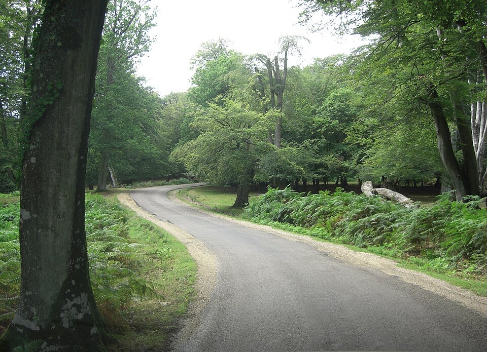 Sight · 8.8 km awayBolderwood ArboretumTowering Douglas firs, waymarked gravel trails and a deer viewing platform
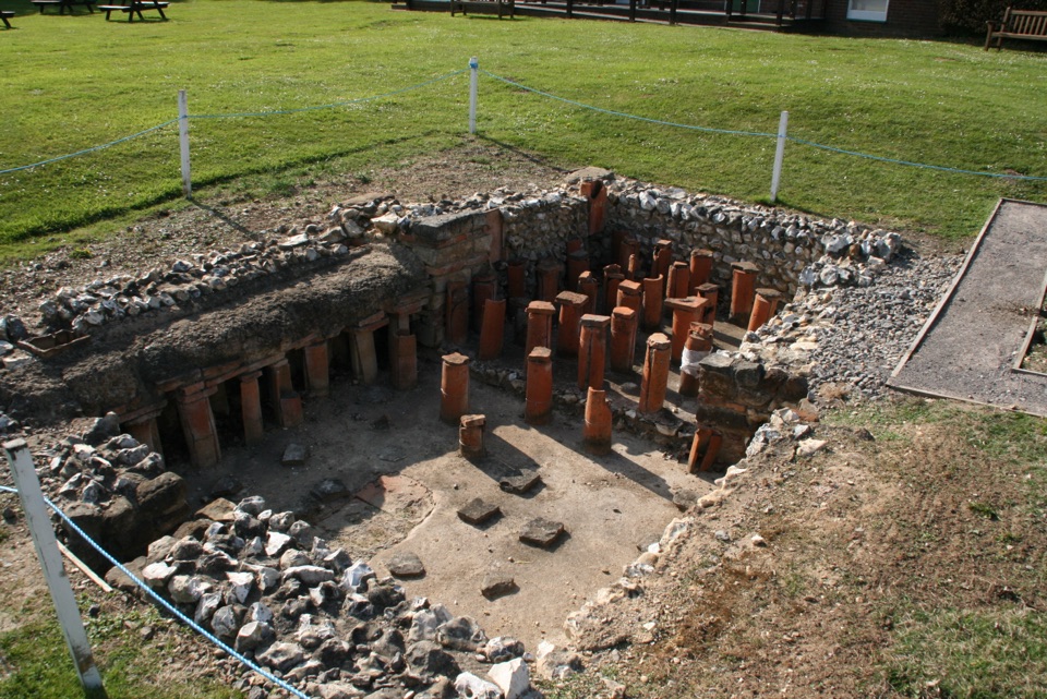 Sight · 9.5 km awayRockbourne Roman VillaRoman mosaics, a hypocaust and a 7,717-coin hoard west of the Forest
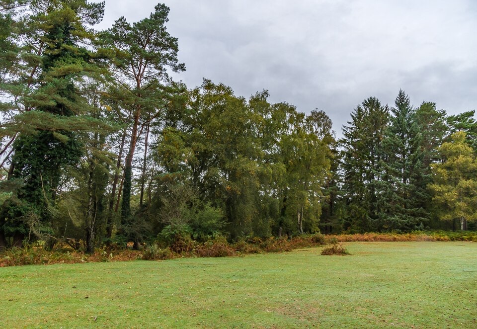 Picnic area · 10 km awayAnderwood Picnic AreaQuiet woodland clearing with picnic tables, parking and toilets
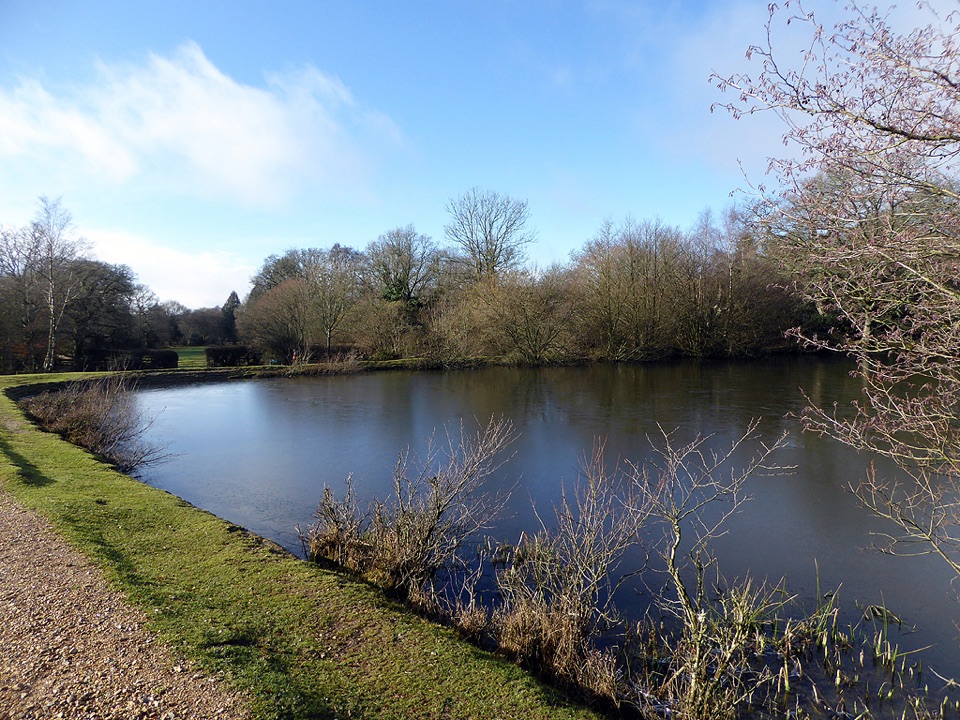 Sight · 10 km awayEyeworth PondVictorian gunpowder pond ringed by woodland, ponies and singing warblers
 Campground · 10.4 km awayOcknell CampsiteSimple heath camping where free-roaming ponies graze past your tent
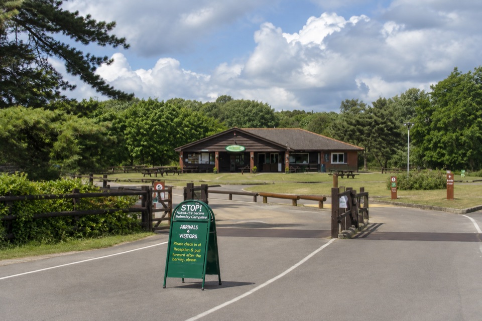 Campground · 10.9 km awayHolmsley CampsiteCamp on a former wartime airfield ringed by heath and ponies
Parkwolf’s New Forest ranking

The audio tour guide for the drive, plus offline maps, trails, and wildlife heatmaps for when the signal drops.