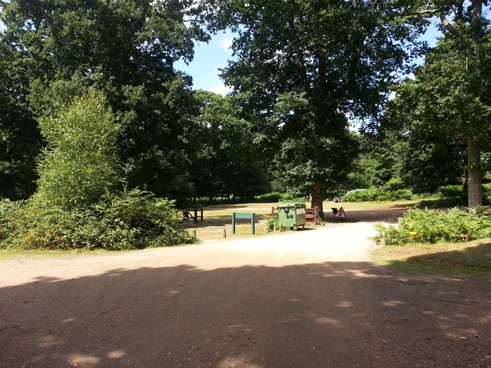
Parking
Start at Brockenhurst railway station. The station car park is beside the route and National Rail lists 236 spaces; the village also has public parking. Rail and Bluestar 6 serve the station, with New Forest Tour routes seasonal.
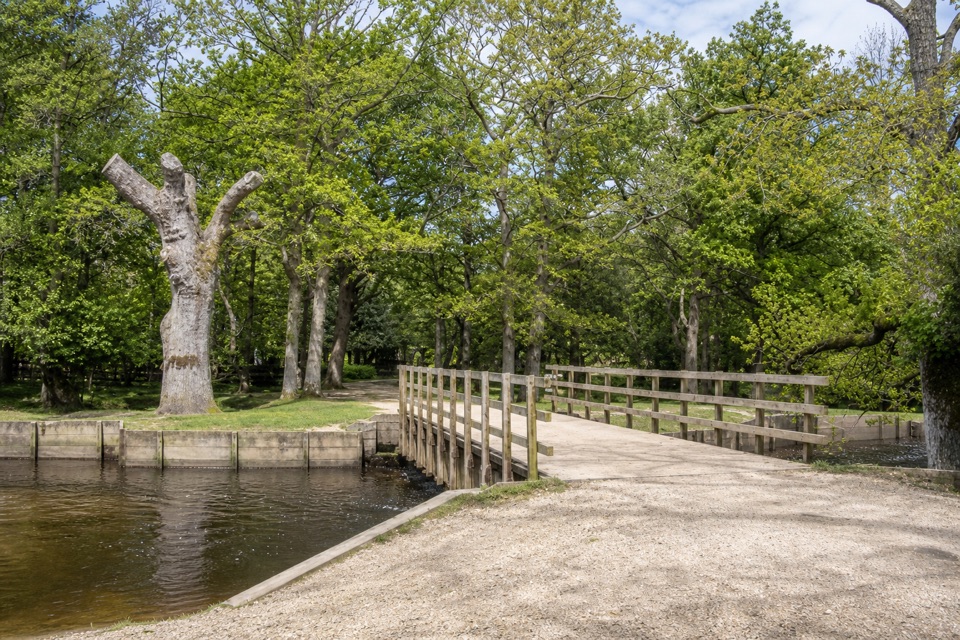
#3 of 70 trails in New Forest
New Forest National Park, EN
A village walk reaching Ober Water, Bolderford Bridge and open heath.
Overview
A 5-mile (8.1 km) loop from Brockenhurst railway station, this village walk slips out past the Watersplash, then follows gravel paths, Ober Water and open heath back to the station. Allow 2 to 3 hours. The appeal is the quick change of scene: shops and houses at one end, a stream crossing and shady woods in the middle, then a broad view across Whitefield Moor and Wilverley Plain before you return through fields and village streets. It’s mostly level, so the distance and soft ground matter more than climbing.
Map & elevation
Plan your hike

The highest, rockiest slopes around here are a summer buffet for grizzly bears.
New Forest Tour Guide
Parkwolf is a GPS audio tour guide for New Forest National Park. As you drive, it chimes in with what’s ahead: hidden gems, upcoming stops, history, geology, and wildlife, right through your car’s speakers.
Recorded for this trailhead
Brockenhurst Village and St Nicholas' Church“You're approaching Brockenhurst, a village where ponies may wander past the shops and the Watersplash ford.”
Plays as you drive up to this trailhead in the Parkwolf New Forest Tour Guide.
More stories near here in the app
“Fantastic app with many points of information… It’s great to just turn on while you’re driving and it gives you an audio tour of the national Park. We love it!!!!”


Trail guide
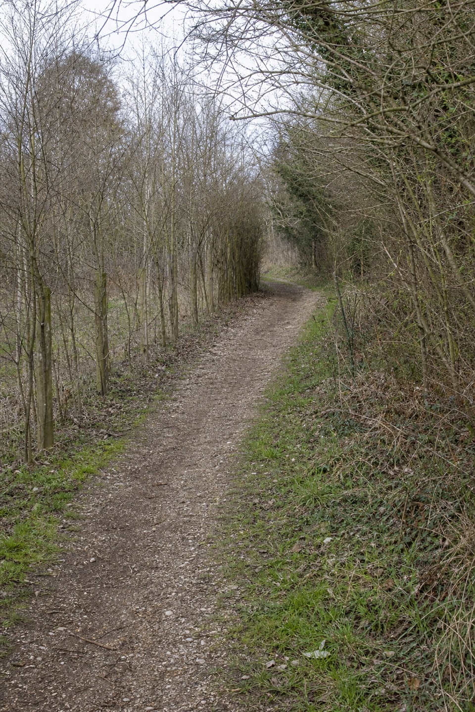
Leave the station by the ticket office and follow the marked pedestrian way beside Brookley Road into the village. The Watersplash sits at the western end of the street, where North and South Weirs meet; cross on the footbridge, then turn along Rhinefield Road beside the stream. Continue past St Anne’s Catholic Church and houses until pavement gives way to a gravel path across a lawn. Two small wooden bridges near the allotments lead to a gravel cycle track at marker 264. Keep the directions handy here: the route shifts from streets and obvious tracks to waymarked grass and heath.
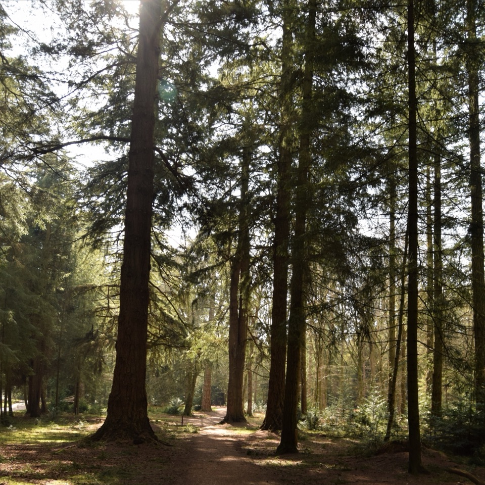
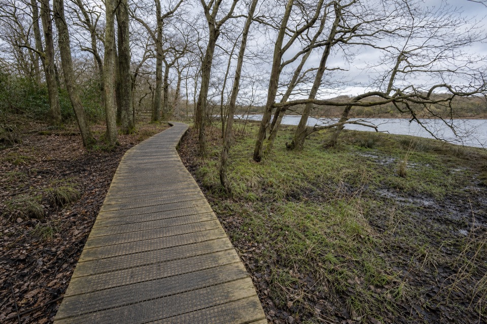
At marker 264, follow the track 100 metres to Bolderford Bridge, then retrace to the main loop. Pause for the pale deck and timber rails over the shallow stream; keep the water in the frame rather than cropping it away. The main loop follows gravel around open lawns near Ober Corner car park, then a narrow road into Aldridge Hill campsite. Cross Ober Water and continue on a broad gravel track to Aldridge Hill cottage, which looks over Ober Heath. After the cottage, grass and woodland path take over. Watch for an old cast-iron Victorian marker on the inclosure edge: this part of the Forest was first enclosed in 1775. It’s a small detail that explains the straight boundary through the woods.
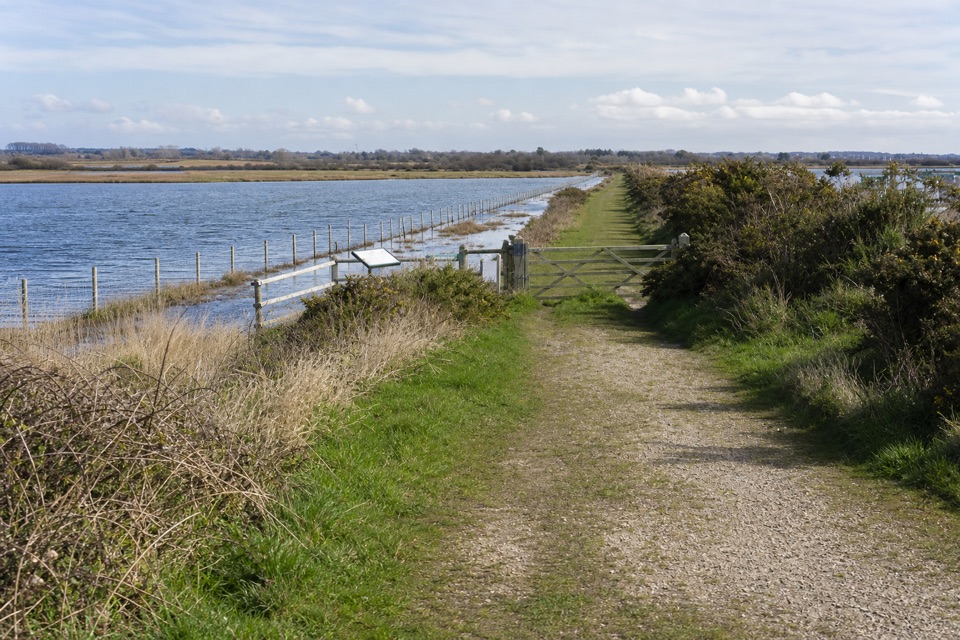
After the woodland path meets Ober Water, follow the river between mixed woodland and red-band waymarker posts. Cross a wooden bridge out of the trees, then take a gravel stretch over wet heath. The higher lawn edge has a small wet flush; you can bypass it on higher ground. As you rise from that dip, the view opens southwest over Whitefield Moor and Wilverley Plain. This is the walk’s widest outlook, but there’s no summit or formal viewpoint: the payoff is seeing the open heaths from the lawn’s edge. The route turns back by Beechern Wood, follows the road at North Weirs, then uses a path across fields past Brockenhurst Primary School to the station.
This is an easy walk with a few gentle gradients; allow two to three hours rather than rushing the five miles. There are two gates and four road crossings. Woodland tracks and gateways can be muddy; follow the marked line across the open grass, and use the footbridge at the Watersplash—the ford beside it can become a torrent after heavy rain. Dogs are allowed, but keep them under effective control and on the main tracks, especially across heath during ground-nesting bird season; leash them along roads and in car parks. Ponies and donkeys may wander through the village. Brockenhurst has public toilets, parking, pubs and cafés near the start and finish; the station car park has 236 spaces. Rail is the simplest way to reach the trailhead, and Bluestar 6 plus the New Forest Tour’s green and blue routes also serve the station, with the Tour running seasonally. Food and shops are in the village, not out on the heath.
Wildlife
 28 sightingsRed DeerMost seen around 7 AMSighting map
 10 sightingsWhite-tailed EagleMost seen around 10 AMSighting map
 14 sightingsHarbor SealMost seen around 7 PMSighting map
 176 sightingsEuropean Fallow DeerMost seen around 7 PMSighting map
 93 sightingsWestern Roe DeerMost seen around 7 AMSighting map
 54 sightingsMute SwanMost seen around 6 PMSighting map
Sighting maps show where each species has been reported across New Forest. Wildlife moves, so no sighting is guaranteed.
Keep exploring
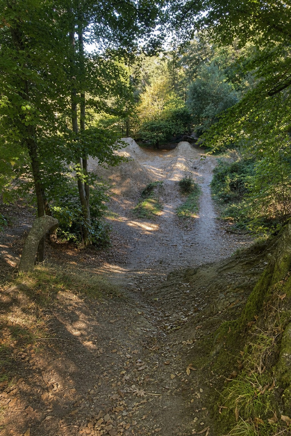 ModerateBuckland Rings Trail10.9 km · 2.8 hr · At the trailheadA station-to-station walk through woods and fields to an Iron Age hillfort.
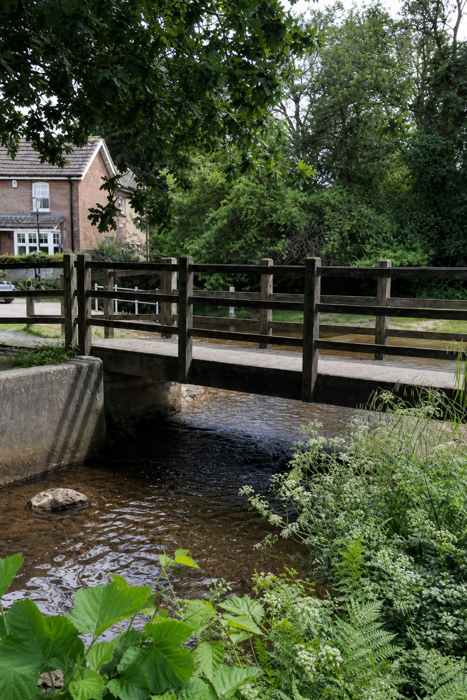 EasyBrockenhurst Short Village Walk3.9 km · 1.1 hr · At the trailheadA village loop for the Watersplash, green and old church.
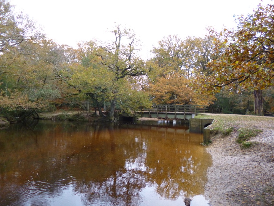 ModerateBrockenhurst and Lyndhurst Circular16.3 km · 4.3 hr · 0.4 km awayA river bridge and two villages, linked by forest tracks.
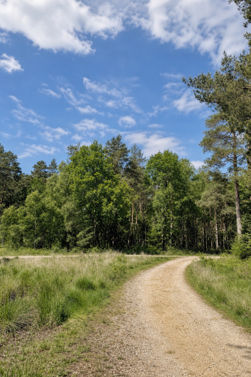 ModerateStanding Hat Loop5 km · 1.5 hr · 2.1 km awayA 3.1-mile woodland loop through Pignal Inclosure
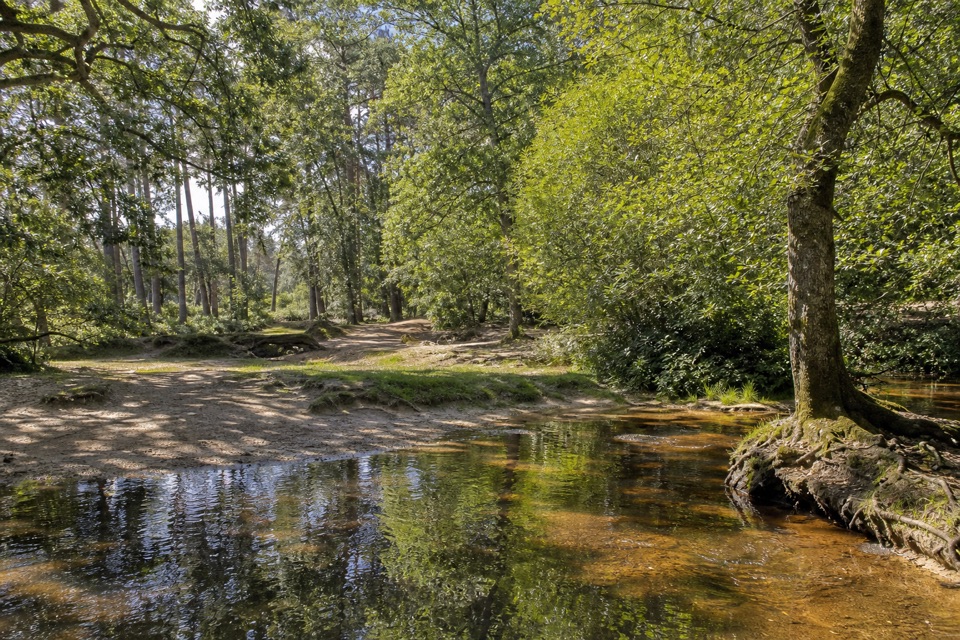 EasyOber Water Trail (Red Route)2.6 km · 40 min · 2.8 km awayThree footbridges, a woodland stream and a heathland return.
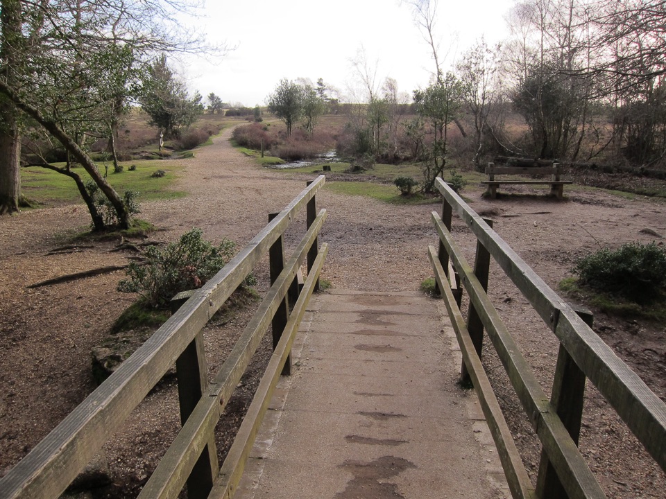 EasyWhitefield Moor Short Loop1.6 km · 30 min · 2.8 km awayA one-mile loop from Ober Water woods onto open heathland.
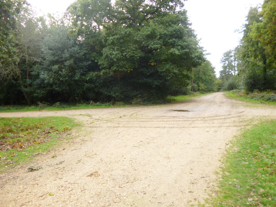 EasySetthorns Loop3.2 km · 1 hr · 3.6 km awayA compact woodland circuit with a brief campsite passage.
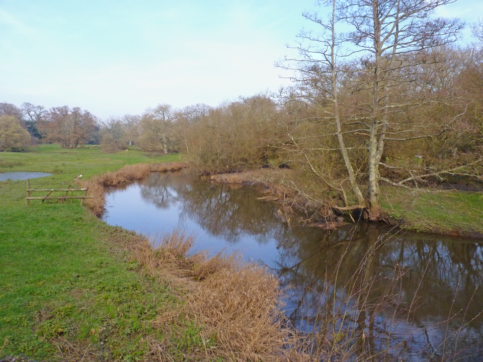 EasyBoldre Village8.2 km · 2.5 hr · 4 km awayA 5.1-mile Boldre loop through woods, church lanes and riverside fields
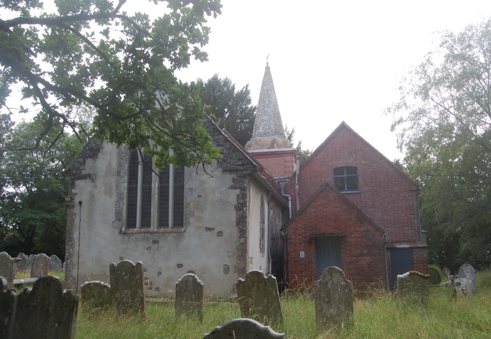 Sight · 0.5 km awaySt Nicholas' ChurchDomesday church with ANZAC graves and Brusher Mills' marker
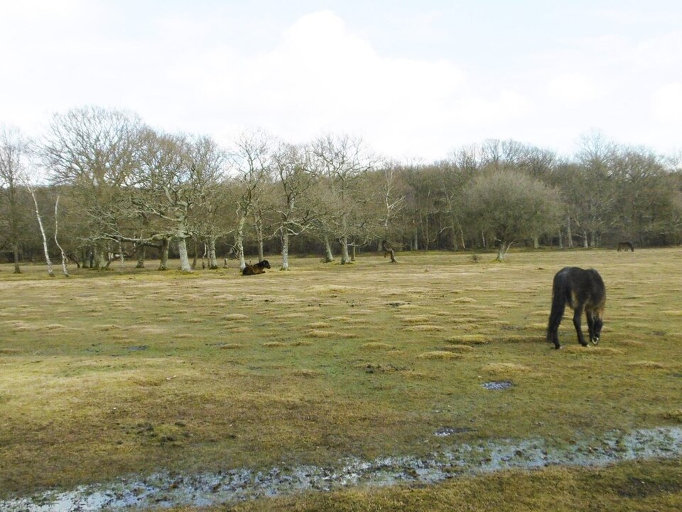 Picnic area · 1.9 km awayBalmer LawnOpen grazing lawn by the Lymington River, with ponies and picnic space
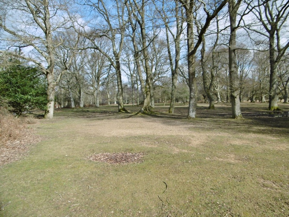 Campground · 2 km awayHollands Wood CampsiteWoodland pitches, roaming ponies, and a short walk into Brockenhurst
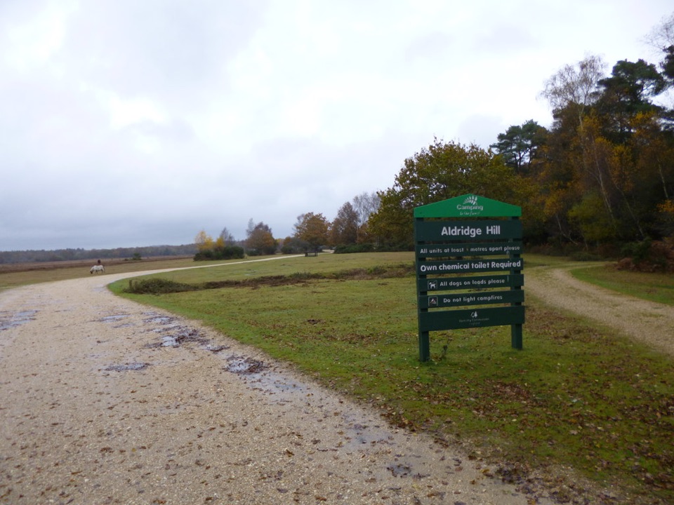 Campground · 2.4 km awayAldridge Hill CampsiteStreamside wild-feeling camping with no toilets, showers or power
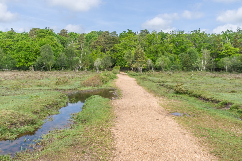 Picnic area · 2.8 km awayWhitefield MoorHeath and woodland picnics with easy gravel trails by Ober Water
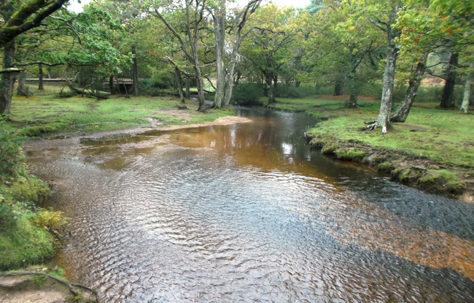 Sight · 3.2 km awayPuttles BridgeWoodland stream crossing and easy gateway to the Ober Water Trail
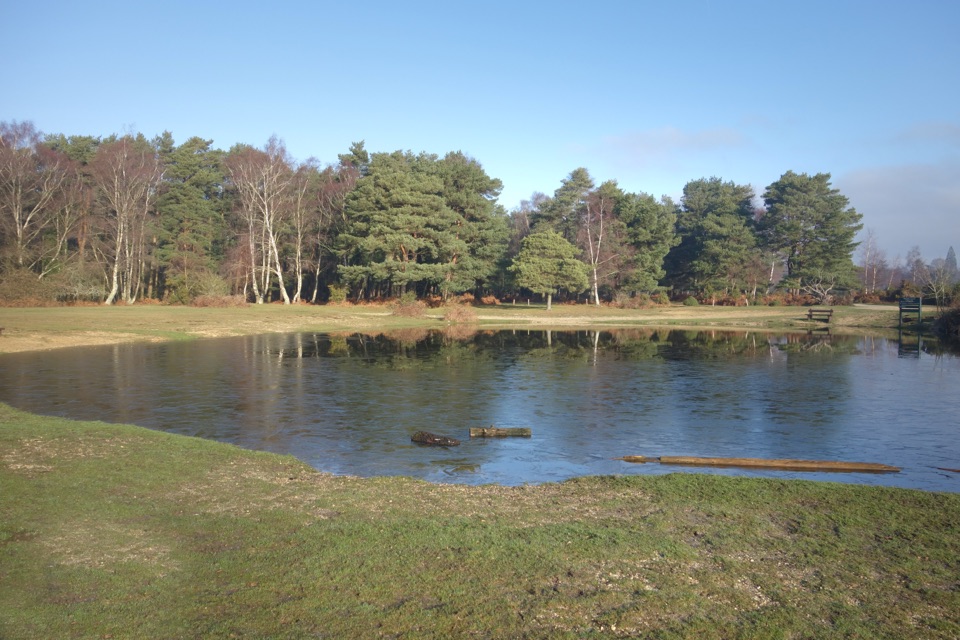 Campground · 3.3 km awayRoundhill CampsiteBig, family-friendly forest campsite with a pond and free-roaming ponies
 Campground · 4.1 km awaySetthorns CampsiteSelf-sufficient woodland camping among pines, oaks and roaming ponies
Parkwolf’s New Forest ranking

The audio tour guide for the drive, plus offline maps, trails, and wildlife heatmaps for when the signal drops.