Lymington Marshes Rail Trail in New Forest National Park

#5 of 70 trails in New Forest

New Forest National Park, EN

Lymington Marshes Rail Trail

A flat loop from Lymington’s quay streets to its coastal marshes.

Length
6km
Time
1.5hr
Elev. change
26m
Difficulty
Easy
  • Loop
  • Dogs allowed
  • High point 25 m

Hear the audio tour

Lymington Harbour and Marshes

Overview

About Lymington Marshes Rail Trail

Why go

  • Pairs a historic harbour walk with open Solent marsh views
  • Easy, level route starting at a railway station

Heads up

  • Town streets and residential roads make up much of the loop
  • The marshes themselves are viewed from the path, not entered

Map & elevation

The route

Loading the New Forest map
Full map
Elevation-1–25 m
TrailheadLymington Town Railway Station50.76087, -1.53709
Keep this map with you offline in the Parkwolf app

Plan your hike

Before you go

Parking

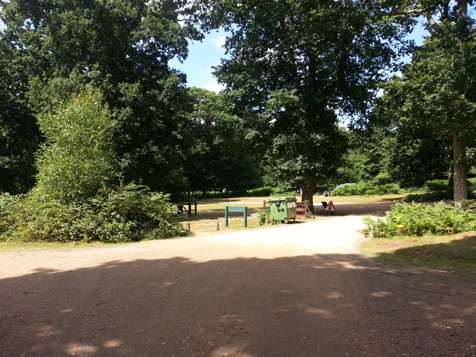
The loop starts and ends at Lymington Town railway station (SO41 9AU), with train and bus access at the start. The route passes Bath Lane Amenity Car Park and Quay Hill & Town Quay Car Park; joining at either changes where you enter the circuit.

Safety

Stay on the seawall and marked public paths. The adjacent tidal mudflats and saltmarsh are not open for general access, and the soft intertidal mud can be dangerous.

1 active New Forest alert

  • CautionNew Forest outdoor-fire restrictionDo not use BBQs, campfires, stoves, outdoor camping equipment or other naked flames on the open Forest.Official details
New Forest alerts
A park ranger sits on a dash-mounted phone, talking, as Parkwolf’s Tour Guide plays “Army Cutworm Moths: A Grizzly Bear Buffet” on Grand Loop Road below Dunraven Pass in Yellowstone
Parkwolf Tour GuideThe highest, rockiest slopes around here are a summer buffet for grizzly bears.

New Forest Tour Guide

Your drive to Lymington Marshes Rail Trail, narrated.

Parkwolf is a GPS audio tour guide for New Forest National Park. As you drive, it chimes in with what’s ahead: hidden gems, upcoming stops, history, geology, and wildlife, right through your car’s speakers.

Recorded for this trailhead

Lymington Harbour and Marshes
0:00 / 0:34
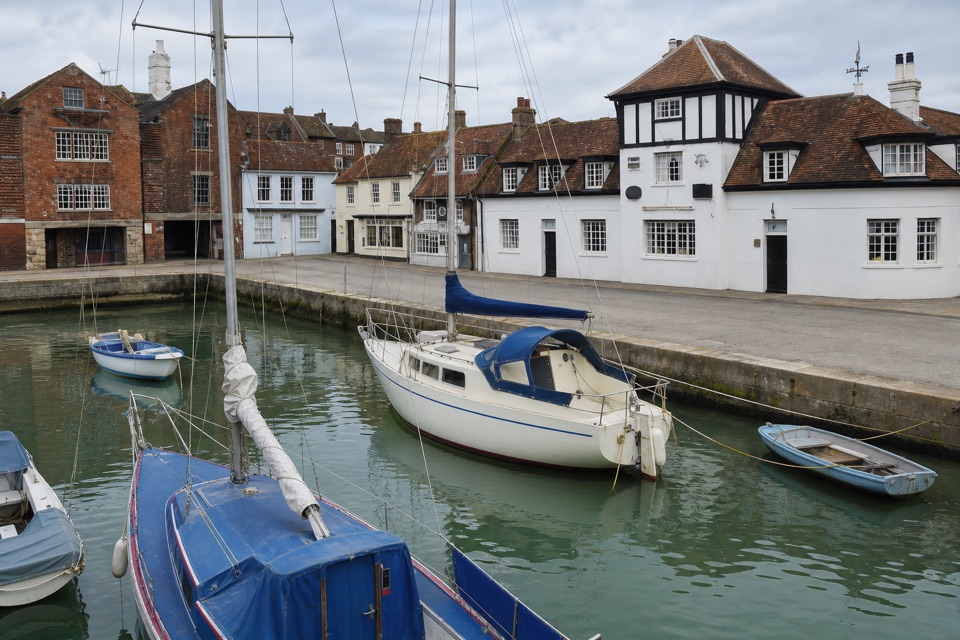
“You're approaching Lymington's old quay, where cobbled streets and waterfront buildings recall a working port that once exported salt from pans along the river marshes.”

Plays as you drive up to this trailhead in the Parkwolf New Forest Tour Guide.

More stories near here in the app

  • The Bathing Guide with a Rope
  • The Admiral at the End of the Street
  • The Spoonbill's Sweep
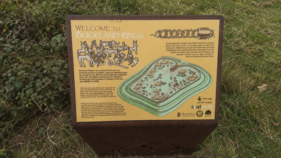
  • Buckland Rings
  • 283 audio storiesacross New Forest’s roads, triggered by GPS as you drive
  • Wildlife heatmapsfor Red Deer, White-tailed Eagle, Harbor Seal, and 13 more
  • Works offlinemaps, 70 trails, 48 places, and audio download before you lose signal
  • CarPlay readysimple controls built for the drive
★★★★★
“Fantastic app with many points of information… It’s great to just turn on while you’re driving and it gives you an audio tour of the national Park. We love it!!!!”
JMJamesApp Store review
Download Parkwolf on the App StoreGet Parkwolf on Google Play

4.7 from 8,600+ ratings

Trail guide

Hiking Lymington Marshes Rail Trail

What this walk isLymington Marshes Rail Trail is a 3.

Lymington Marshes Rail Trail is a 3.7-mile loop from Lymington Town railway station: quay streets and harbour on the way out, a level sea-wall stretch beside coastal marshes, then a town-street return. The published time is one to two hours. I’d choose it when you want bird habitat and wide Solent views without driving to another trailhead. The name can make the whole walk sound wilder than it is: the marsh is the middle section, while the start and finish run through Lymington. The mapped line is about 4.3 miles, so treat 3.7 as an approximate guide figure and allow time for the longer end of the visit.

From the station to the sea wallLeave the station along Mill Lane and take the narrow back street into the old quay area.

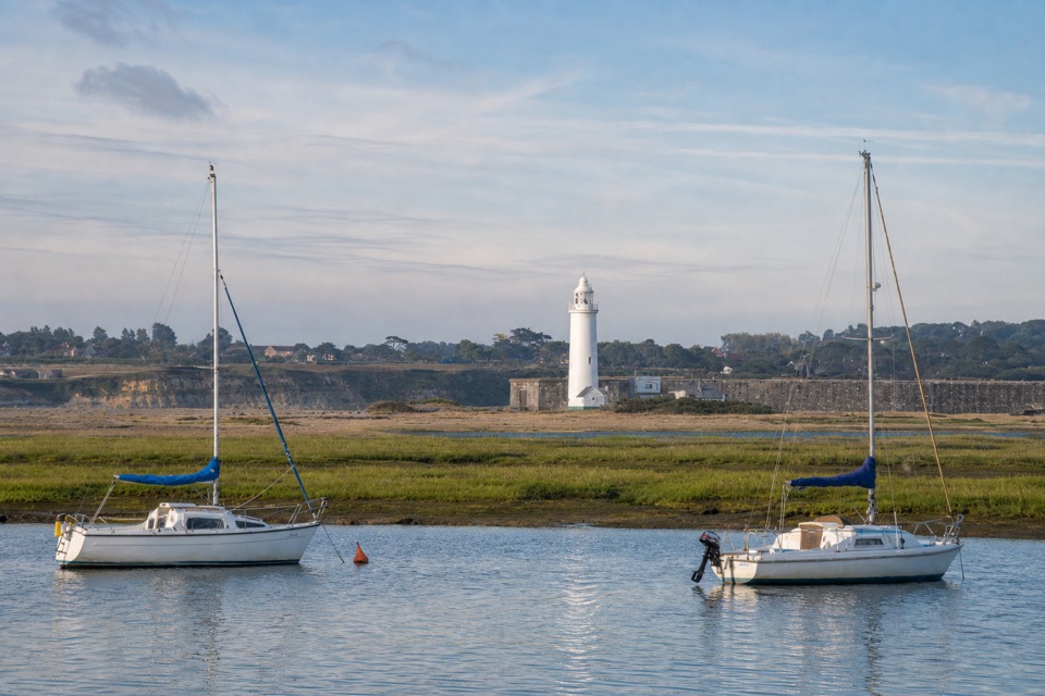
Leave the station along Mill Lane and take the narrow back street into the old quay area. You’ll pass the harbour-side shops and restaurants before heading south on Quay Road with the water on your left, then continuing down Bath Road past the marine warehouses. The route cuts through the recreation ground and Bath Lane Amenity Car Park toward the lifeboat station and Lymington Sea Water Baths, where the public footpath begins.

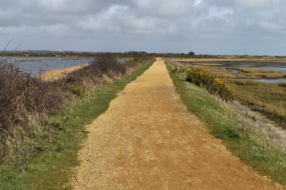
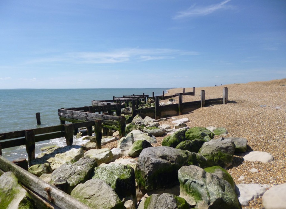
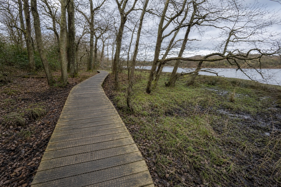
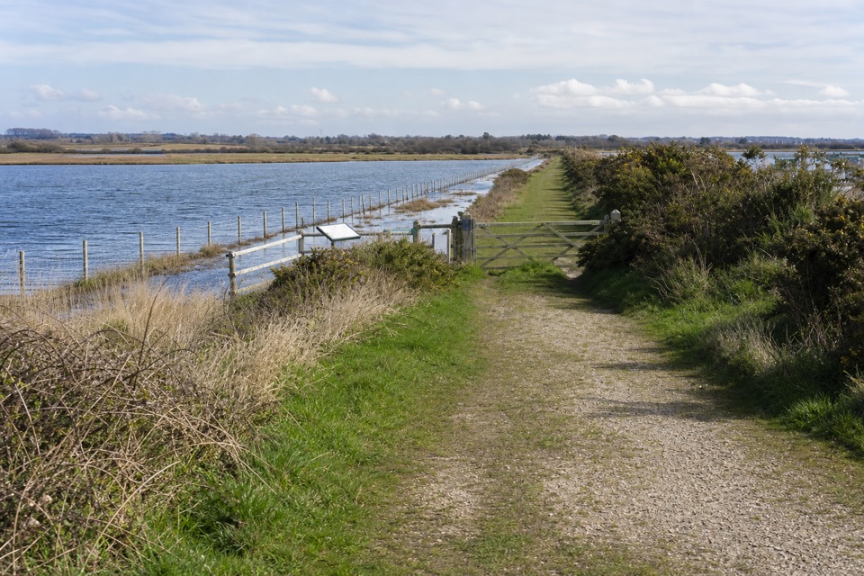
The marina is the turn that’s easiest to miss. Follow the short tarmac access, turn right at the small junction, then watch for a narrow footpath on your left after about 30 metres. Once you’re on the sea wall, the town drops away and the view opens across the Solent toward the Isle of Wight. It’s level walking, but this is an exposed coastal edge rather than a sheltered park path.

Marsh views, then an inland turnThe path skirts the marshes past Normandy Marsh, Eight Acre Pond and Salterns Sailing Club.

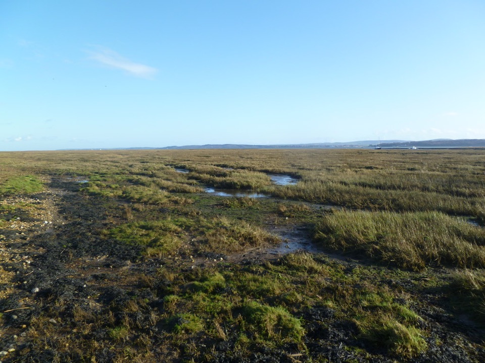
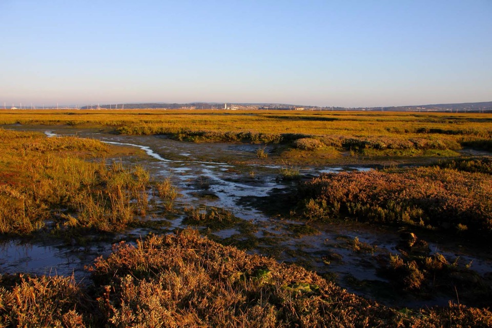
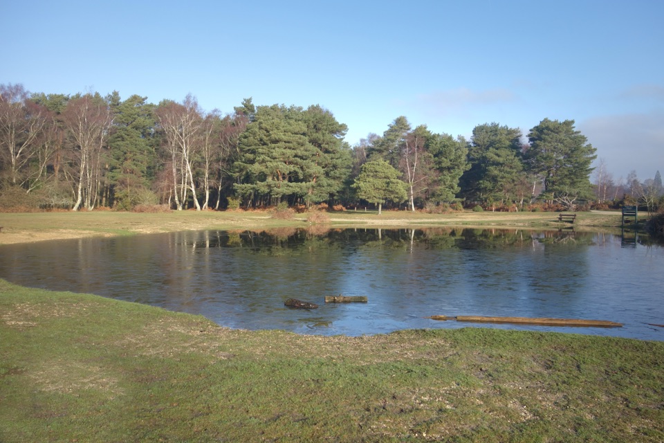
The path skirts the marshes past Normandy Marsh, Eight Acre Pond and Salterns Sailing Club. The mudflats beyond the wall are feeding and roosting ground, not a place to wander across: the soft intertidal mud can be dangerous, and the reserve isn’t open for general access away from the paths. Keep to the sea wall and public footpath. Winter is best for wigeon, redshank and curlew; terns and gulls breed in summer, while spoonbills may pass through in spring and autumn. You’re looking at a working estuary where the water and exposed mud change with the tide, not a fixed pondside viewpoint.

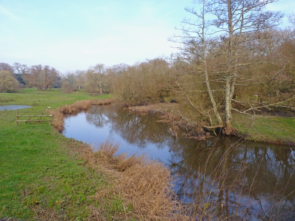
At the pond, take the narrow path inland by the bench to Maiden Lane. This short connector leads back to town streets, so the open-water views end before the walk does. Follow Maiden Lane past informal parking, then continue on Woodside Lane through leafy residential streets. Near the top of Woodside, take the northwest connection toward Belmore Lane. The turn-by-turn directions name All Saints Road and a roundabout here, while current street mapping gives a direct connection to Belmore; follow Belmore toward the High Street.

The town returnBelmore Lane reaches the upper end of High Street.
Belmore Lane reaches the upper end of High Street. Turn downhill and use the shops, pubs and restaurants as a reason to slow down; near the bottom, look for the cobbled quay-side link and the turn back toward the station before the bike-hire shops. That last turn is easy to pass if you keep following the waterfront.
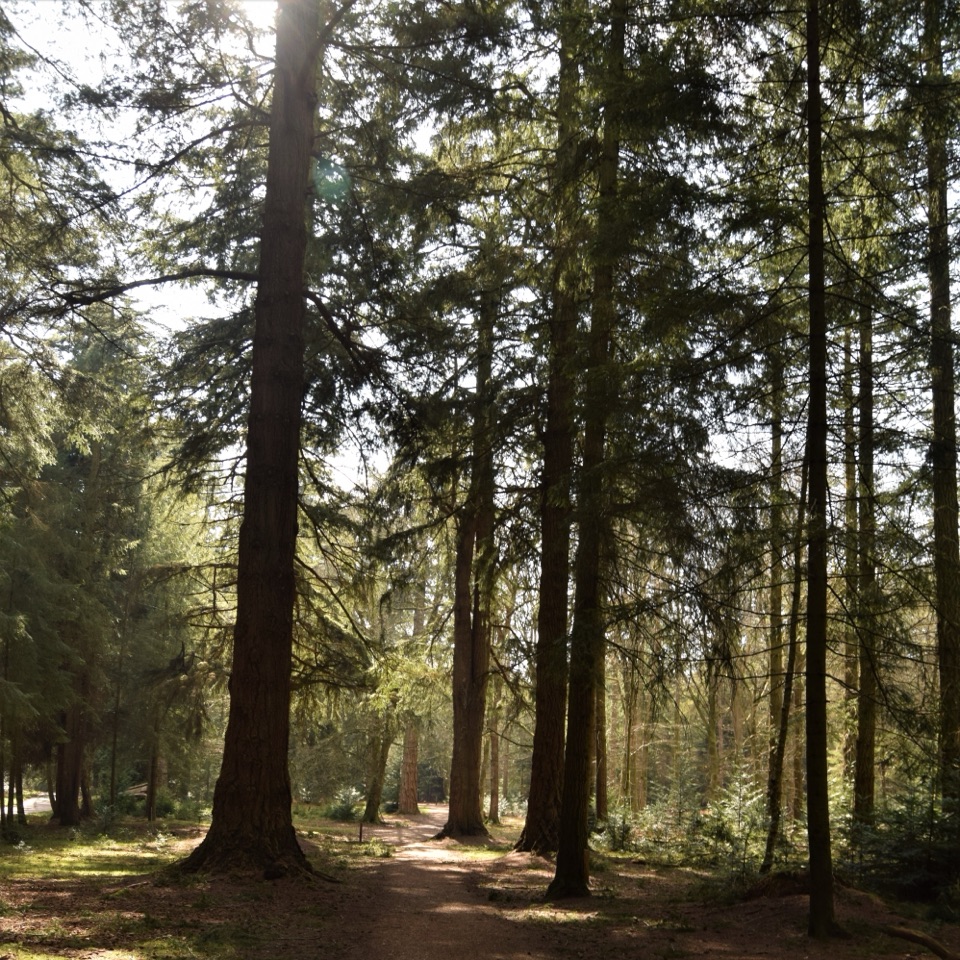
This is an easy, mostly level outing, but it mixes town pavement and residential road with the marsh path, so it won’t suit anyone looking for a continuous off-road hike. Dogs may come along the sea-wall path under control; keep them out of the reserve itself. Lymington’s public toilets are near St Barbe Museum, and the station is served by trains and buses. Drivers can join the circuit at Bath Lane Amenity Car Park or Quay Hill & Town Quay Car Park, but the 3.7-mile figure begins and ends at the railway station.

Wildlife

Wildlife in New Forest

All New Forest wildlife maps

Sighting maps show where each species has been reported across New Forest. Wildlife moves, so no sighting is guaranteed.

Keep exploring

Near Lymington Marshes Rail Trail

See it all on the map

Trails that start nearby

Places near the trailhead

Parkwolf’s New Forest ranking

Top-rated trails in New Forest

All 70 trails
  1. 1Tall Trees Trail at BlackwaterEasy · 2.3 km
  2. 2Beaulieu to Buckler’s Hard WalkEasy · 3.6 km
  3. 3Brockenhurst Village LoopEasy · 8 km
  4. 4Solent WayModerate · 96.6 km
  5. 6Keyhaven to Hurst CastleModerate · 7.2 km
  6. 7Avon Valley PathChallenging · 54.7 km

Take Parkwolf to New Forest.

The audio tour guide for the drive, plus offline maps, trails, and wildlife heatmaps for when the signal drops.

4.7 from 8,600+ ratings

Download Parkwolf on the App StoreGet Parkwolf on Google Play