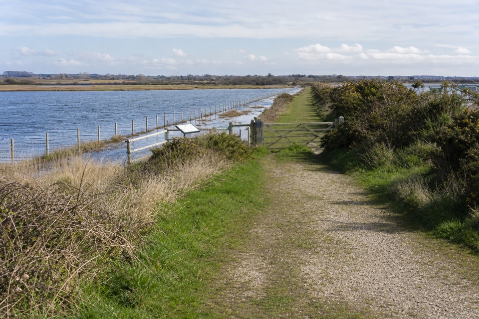
Lyndhurst Parish Walk in New Forest National Park

New Forest National Park, EN

Lyndhurst Parish Walk

A parish-boundary loop through hamlets, heath and four old pubs

Photo: Wikimedia Commons
Length
15.1km
Time
4hr
Elev. change
69m
Difficulty
Moderate
  • Loop
  • Dogs allowed
  • High point 100 m
  • #11 of 70 in New Forest

Hear the audio tour

Lyndhurst Village and Bolton's Bench

Overview

About Lyndhurst Parish Walk

Why go

  • Four pubs spaced round the loop for a lunch stop
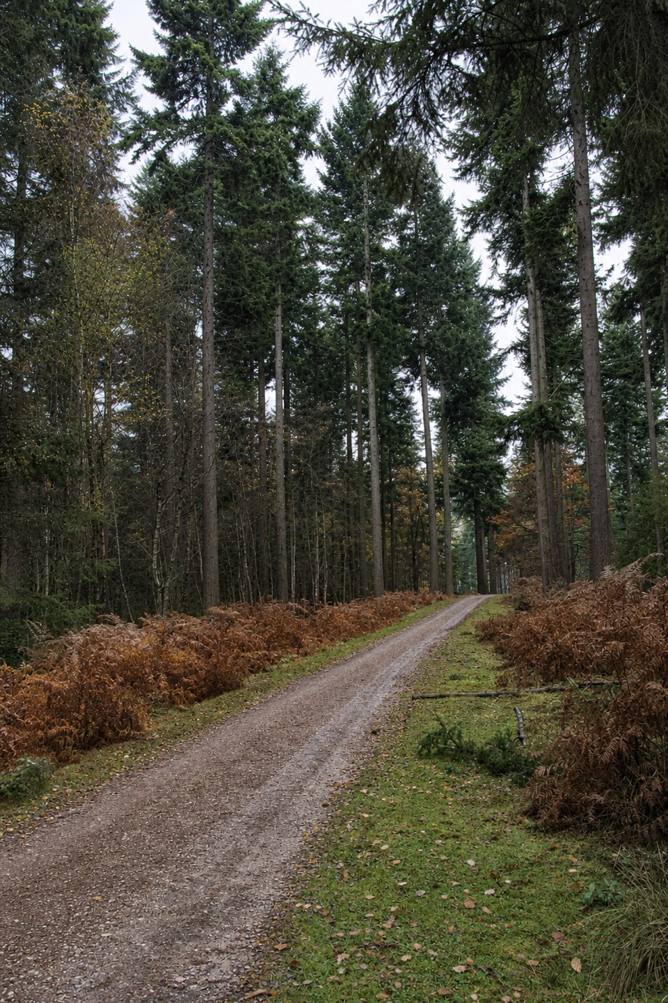
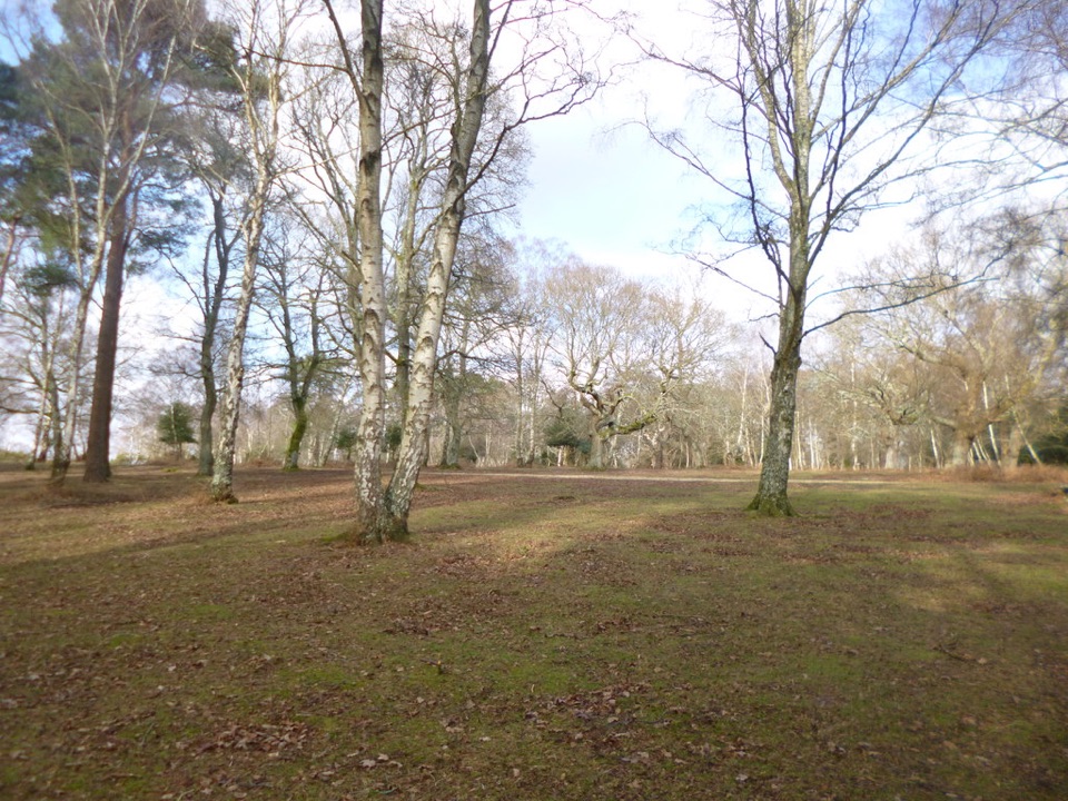
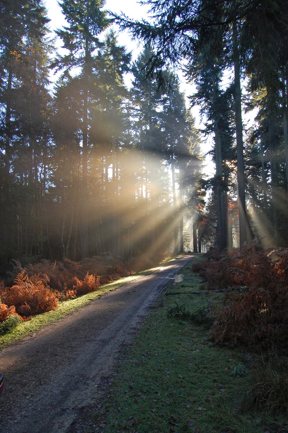
  • Heath, inclosures and thatched hamlets in one walk, with ponies throughout

Heads up

  • Poorly signed, with several easy wrong turns
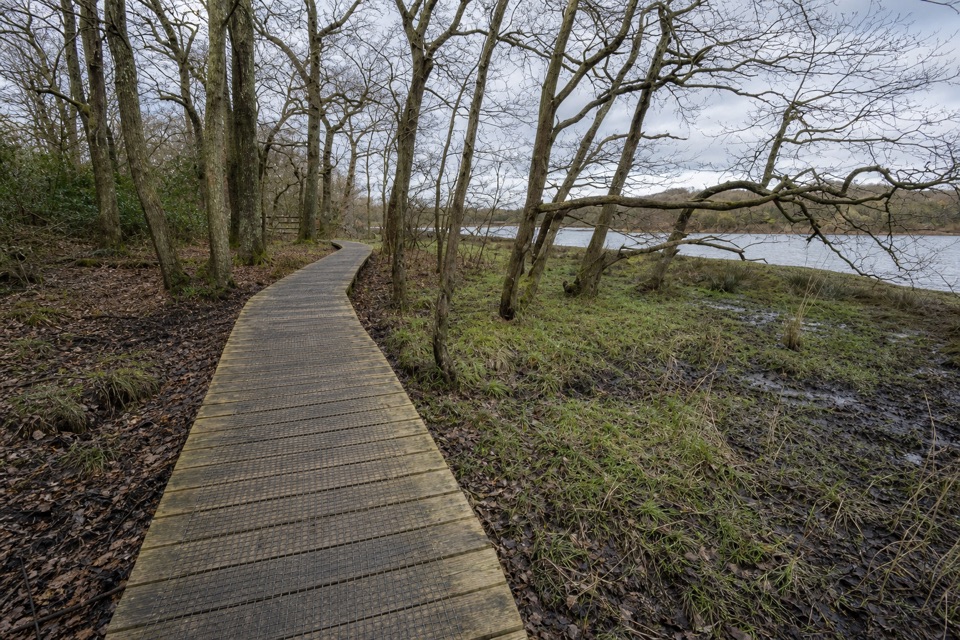
  • Deep mud on Cut Walk and at the underpasses after rain

Map & elevation

The route

Loading the New Forest map
Full map
Elevation31–100 m
TrailheadLyndhurst Main Car Park (New Forest Heritage Centre)50.87186, -1.57497
Keep this map with you offline in the Parkwolf app

Plan your hike

Before you go

Parking

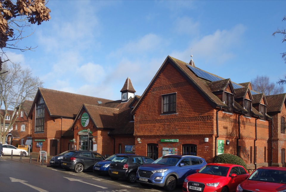
Start at Lyndhurst's main pay and display car park off the High Street (SO43 7NY), beside the New Forest Heritage Centre, with public toilets; the walk leaves from its north-east corner. Forestry England's Bolton's Bench car park on the Beaulieu Road is on the loop and works as an alternative start.

Safety

Poorly waymarked, with several junctions that are easy to miss (the heath beyond Foxlease, the top of Cut Walk); keep the route open on your phone. Crosses the busy A337 twice (at Clay Hill, and at Pikes Hill by a pedestrian refuge), plus the Beaulieu Road, and follows short stretches of lane. Paths are often very wet and muddy, worst on Cut Walk and at the underpasses. Ponies and cattle roam the open forest: do not feed or approach them.

1 active New Forest alert

  • CautionNew Forest outdoor-fire restrictionDo not use BBQs, campfires, stoves, outdoor camping equipment or other naked flames on the open Forest.Official details
New Forest alerts
A park ranger sits on a dash-mounted phone, talking, as Parkwolf’s Tour Guide plays “Army Cutworm Moths: A Grizzly Bear Buffet” on Grand Loop Road below Dunraven Pass in Yellowstone
Parkwolf Tour GuideThe highest, rockiest slopes around here are a summer buffet for grizzly bears.

New Forest Tour Guide

Your drive to Lyndhurst Parish Walk, narrated.

Parkwolf is a GPS audio tour guide for New Forest National Park. As you drive, it chimes in with what’s ahead: hidden gems, upcoming stops, history, geology, and wildlife, right through your car’s speakers.

Recorded for this trailhead

Lyndhurst Village and Bolton's Bench
0:00 / 0:35
“You're approaching Lyndhurst, where the New Forest Heritage Centre sits beside the main village car park. Inside, a seven and a half metre embroidery tells around 900 years of Forest history through the seasons.”

Plays as you drive up to this trailhead in the Parkwolf New Forest Tour Guide.

More stories near here in the app

  • Swan Green
  • The Dragon Beneath the Yew
  • White Band in the Woods
  • Alice’s Life After Wonderland
  • 283 audio storiesacross New Forest’s roads, triggered by GPS as you drive
  • Wildlife heatmapsfor Red Deer, White-tailed Eagle, Harbor Seal, and 13 more
  • Works offlinemaps, 70 trails, 48 places, and audio download before you lose signal
  • CarPlay readysimple controls built for the drive
★★★★★
“Fantastic app with many points of information… It’s great to just turn on while you’re driving and it gives you an audio tour of the national Park. We love it!!!!”
JMJamesApp Store review
Download Parkwolf on the App StoreGet Parkwolf on Google Play

4.7 from 8,600+ ratings

Trail guide

Hiking Lyndhurst Parish Walk

A long loop round Lyndhurst's edgesThe Lyndhurst Parish Walk is a 9.

The Lyndhurst Parish Walk is a 9.4-mile loop that roughly traces the parish boundary around Lyndhurst, starting and finishing at the main car park in the village. It links open heath, two woodland inclosures, the hamlets of Bank, Gritnam, Allum Green and Emery Down, and four pubs, with ponies and cattle wandering through most of it. It's usually listed as 8.4 miles, but from the car park and back it comes to about 9.4 on the ground, so allow about four hours before any pub stop. Do this one if you want a proper day on foot from Lyndhurst without getting back in the car.

How the day goesYou walk up the High Street to the war memorial under Bolton's Bench, the yew-topped knoll…

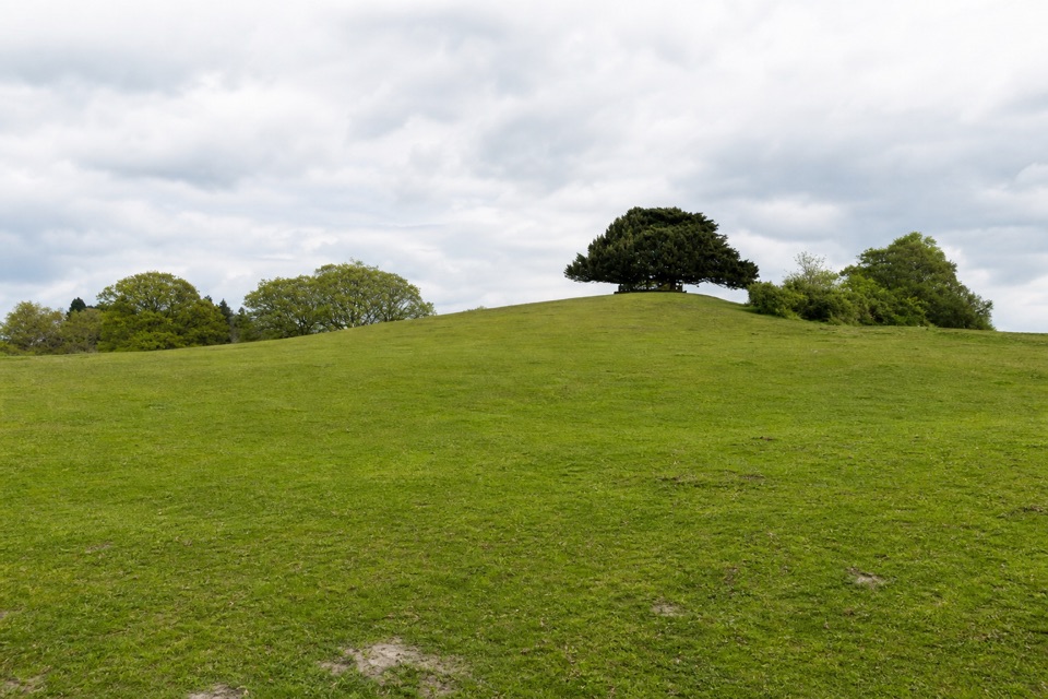
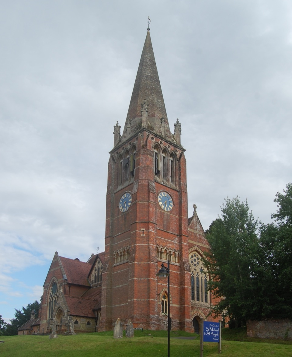
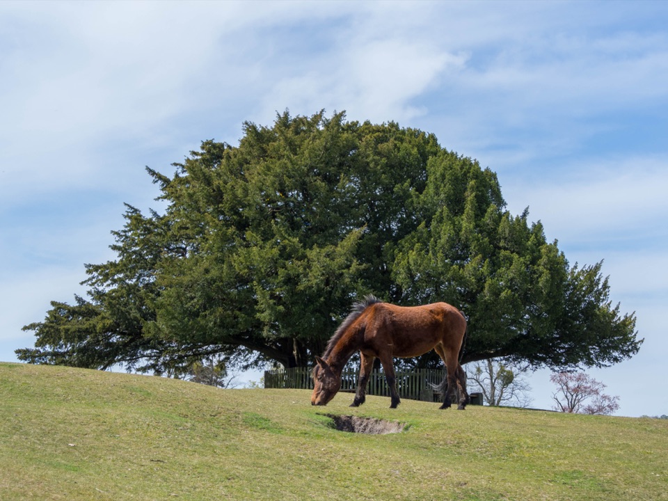
You walk up the High Street to the war memorial under Bolton's Bench, the yew-topped knoll that's the parish symbol, named after an 18th-century Duke of Bolton who was Lord Warden of the Forest. The route crosses the Beaulieu Road into Pondhead Inclosure, where volunteers have brought back the largest area of hazel coppice left on Crown land. Past the back of the Crown Stirrup at Clay Hill you cross the A337, follow a fence line over heath into Brick Kiln Inclosure and climb to the lane at Bank.

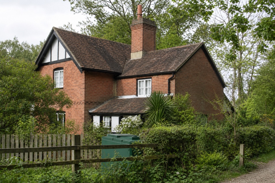
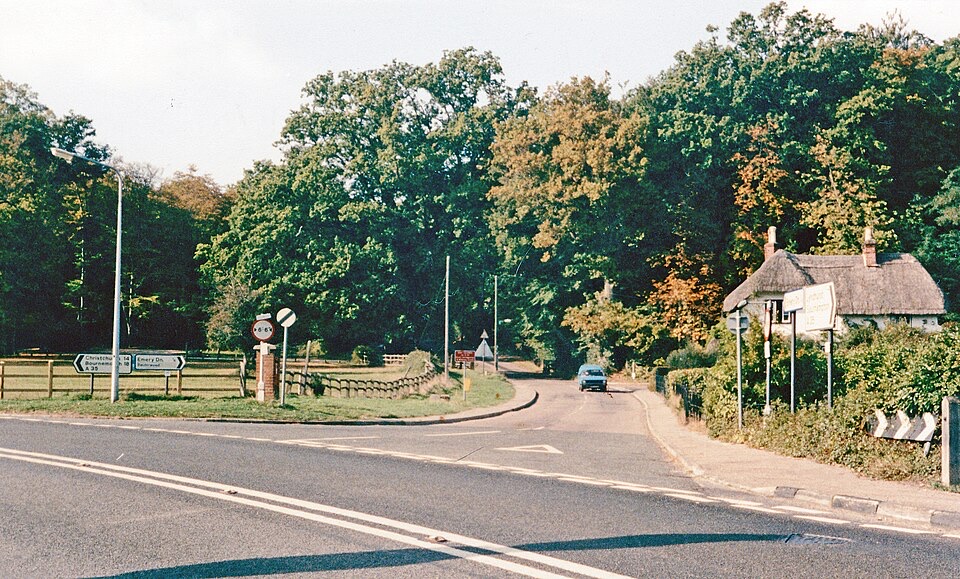
From the Oak Inn the route circles the few houses at Gritnam and ducks under the A35 through a short, muddy underpass. After Allum Green comes Cut Walk, a dead-straight track beside a long brick wall, laid out in 1725 for the third Duke of Bolton. A woodland path winds down to the New Forest Inn at Emery Down, then Silver Street's thatched cottages lead to Pikes Hill. The last stretch crosses Romsey Road, runs along an embankment beside the New Forest Golf Club, goes under the Southampton Road and climbs back over the heath to Bolton's Bench.

Mud, junctions and roadsSignage is poor and the route doesn't always take the obvious path, so keep the route open on…

Signage is poor and the route doesn't always take the obvious path, so keep the route open on your phone. The usual wrong turns are on the heath beyond Foxlease, where you keep the fence on your right, and at the top of Cut Walk, where you turn left before the track drops downhill. It's often very wet, and Cut Walk and the underpasses get properly muddy after rain. You also cross the A337 twice, at Clay Hill and at Pikes Hill by a refuge, and walk short stretches of lane.

Food, parking and shortcutsThe pubs are well spaced for lunch: the Crown Stirrup, the Oak Inn, the New Forest Inn (18th…

The pubs are well spaced for lunch: the Crown Stirrup, the Oak Inn, the New Forest Inn (18th century, doing pies, grills and vegetarian dishes) and the thatched Waterloo Arms at Pikes Hill, with a big beer garden. The main car park is pay and display, with toilets and the New Forest Heritage Centre, and Bolton's Bench car park on the Beaulieu Road is on the loop if you'd rather start there. You can cut back into the village on pavements from Clay Hill, Emery Down or Pikes Hill. Dogs are welcome, but keep them close around livestock and on the main tracks from March to July, when birds nest on the ground.

Wildlife

Wildlife in New Forest

All New Forest wildlife maps

Sighting maps show where each species has been reported across New Forest. Wildlife moves, so no sighting is guaranteed.

Keep exploring

Near Lyndhurst Parish Walk

See it all on the map

Trails that start nearby

Places near the trailhead

Parkwolf’s New Forest ranking

Top-rated trails in New Forest

All 70 trails
  1. 1Tall Trees Trail at BlackwaterEasy · 2.3 km
  2. 2Beaulieu to Buckler’s Hard WalkEasy · 3.6 km
  3. 3Brockenhurst Village LoopEasy · 8 km
  4. 4Solent WayModerate · 96.6 km
  5. 5Lymington Marshes Rail TrailEasy · 6 km
  6. 6Keyhaven to Hurst CastleModerate · 7.2 km

Take Parkwolf to New Forest.

The audio tour guide for the drive, plus offline maps, trails, and wildlife heatmaps for when the signal drops.

4.7 from 8,600+ ratings

Download Parkwolf on the App StoreGet Parkwolf on Google Play