Parking
Hanger Farm Arts Centre; the route leaflet lists on-site parking. Walker access when the venue is closed was not confirmed.
New Forest National Park, EN
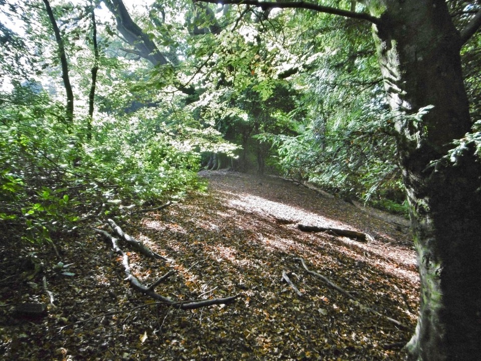
An Iron Age hillfort, an old droveway and views across Netley Marsh.
Overview
Map & elevation
Plan your hike

The highest, rockiest slopes around here are a summer buffet for grizzly bears.
New Forest Tour Guide
Parkwolf is a GPS audio tour guide for New Forest National Park. As you drive, it chimes in with what’s ahead: hidden gems, upcoming stops, history, geology, and wildlife, right through your car’s speakers.
Recorded for this area
Two Ages on Tatchbury Mount“Near Tatchbury Mount, a public path skirts the banks of an Iron Age hillfort. They once enclosed a hilltop about the size of two and a half football pitches.”
Plays on the road 0.6 km from the trailhead in the Parkwolf New Forest Tour Guide.
More stories near here in the app
“Fantastic app with many points of information… It’s great to just turn on while you’re driving and it gives you an audio tour of the national Park. We love it!!!!”


Trail guide
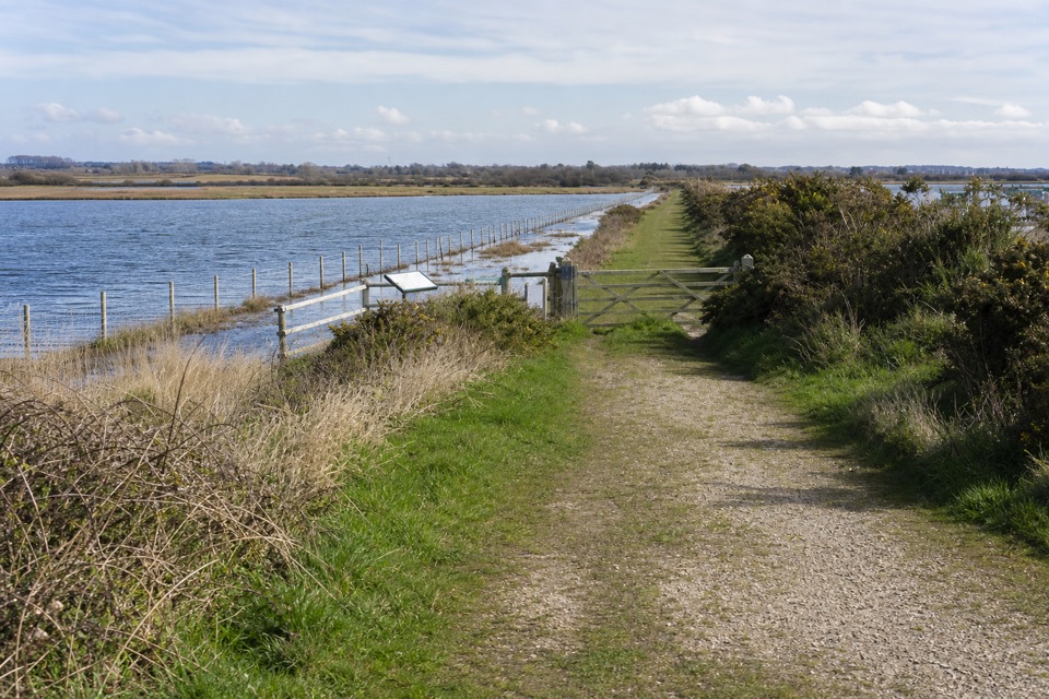
This 3-mile (4.8 km) loop starts at Hanger Farm Arts Centre, crosses the edge of Totton, and follows fields and Tatchbury Copse to the Iron Age earthworks at Tatchbury Mount. The route shares its opening access section on the return. Its rewards are the old droveway, the hillfort banks and a far view across Lower Test Marshes toward Southampton Docks.
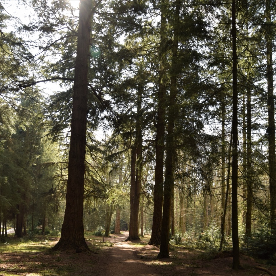
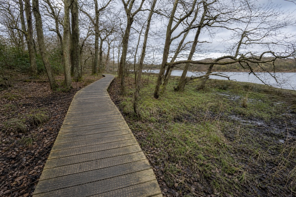
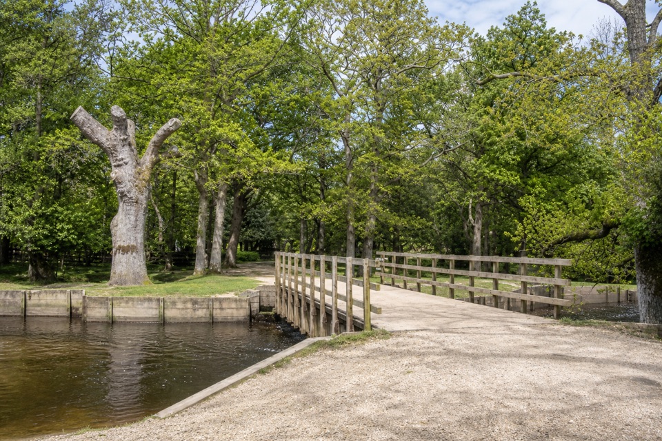
Expect suburban pavement and several turns first, including a busy crossing of Michigan Way, then the bypass underpass and a broad droveway. In Tatchbury Copse, banks and ditches flank the old track. The path skirts the hillfort’s southern earthworks; most of the site is private, so stay on public rights of way. Farmland opens above Netley Marsh before the route drops beside oak field boundaries. The ground is mostly level with shallow to medium inclines, but gates, short stiles and narrow wooden footbridges break the walk. Parts can become extremely muddy. Spring brings bluebells and other woodland flowers.
Allow about 2 hours for the full circuit. Hanger Farm Arts Centre is the marked start, with parking listed on site; whether walkers can use the lot while the venue is closed is unclear. The centre’s café is a separate stop at the start, not along the route.
Wildlife
 28 sightingsRed DeerMost seen around 7 AMSighting map
 10 sightingsWhite-tailed EagleMost seen around 10 AMSighting map
 14 sightingsHarbor SealMost seen around 7 PMSighting map
 176 sightingsEuropean Fallow DeerMost seen around 7 PMSighting map
 93 sightingsWestern Roe DeerMost seen around 7 AMSighting map
 54 sightingsMute SwanMost seen around 6 PMSighting map
Sighting maps show where each species has been reported across New Forest. Wildlife moves, so no sighting is guaranteed.
Keep exploring
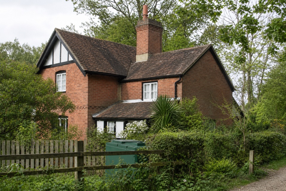 EasyAshurst Stroll4.5 km · 1.5 hr · 3.3 km awayAn easy loop past oak woodland and Tudor saltpetre-house earthworks
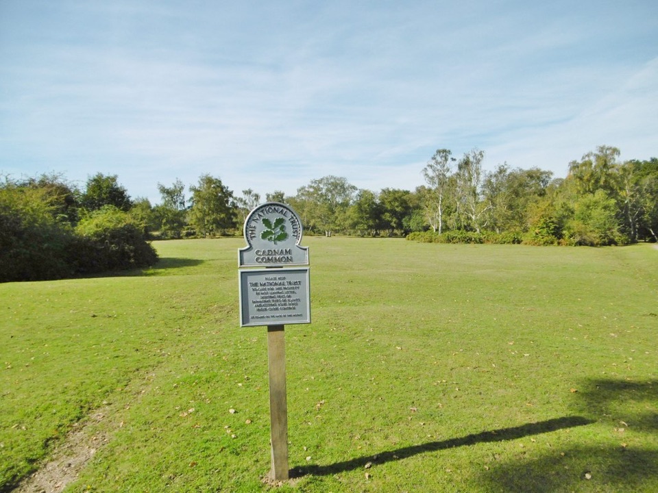 EasyCopythorne and Cadnam Common6.4 km · 2.5 hr · 3.6 km awayA quiet loop from heath glades to a narrow river footbridge.
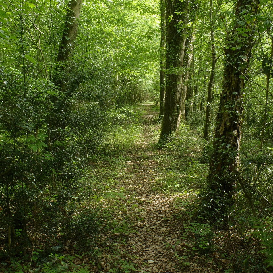 EasyCarters Lane4 km · 1.5 hr · 5.9 km awayA gentle loop through woodland, farm fields and old estate tracks.
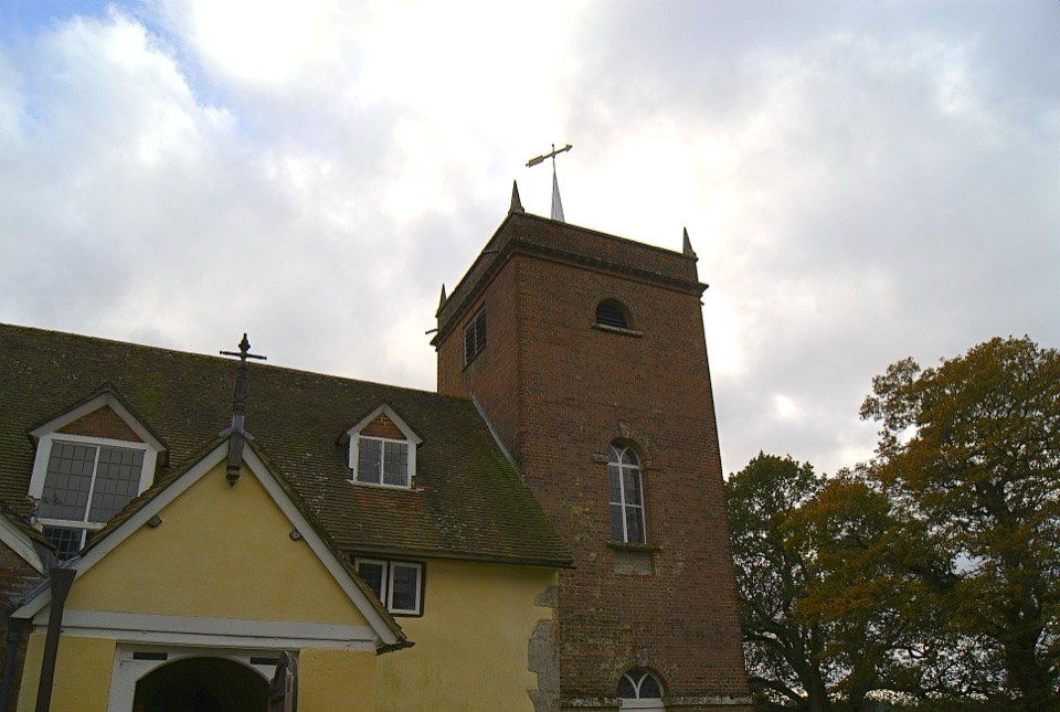 EasyMinstead Village Walk3.4 km · 1 hr · 6.1 km awayA quiet village loop with a church, fields and a ford.
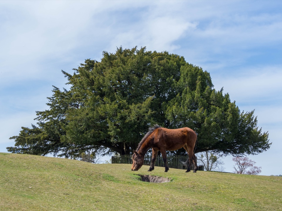 ModerateBolton’s Bench Loop5 km · 1.5 hr · 6.3 km awayShort circuit for heathland, ponies and a yew-topped hill.
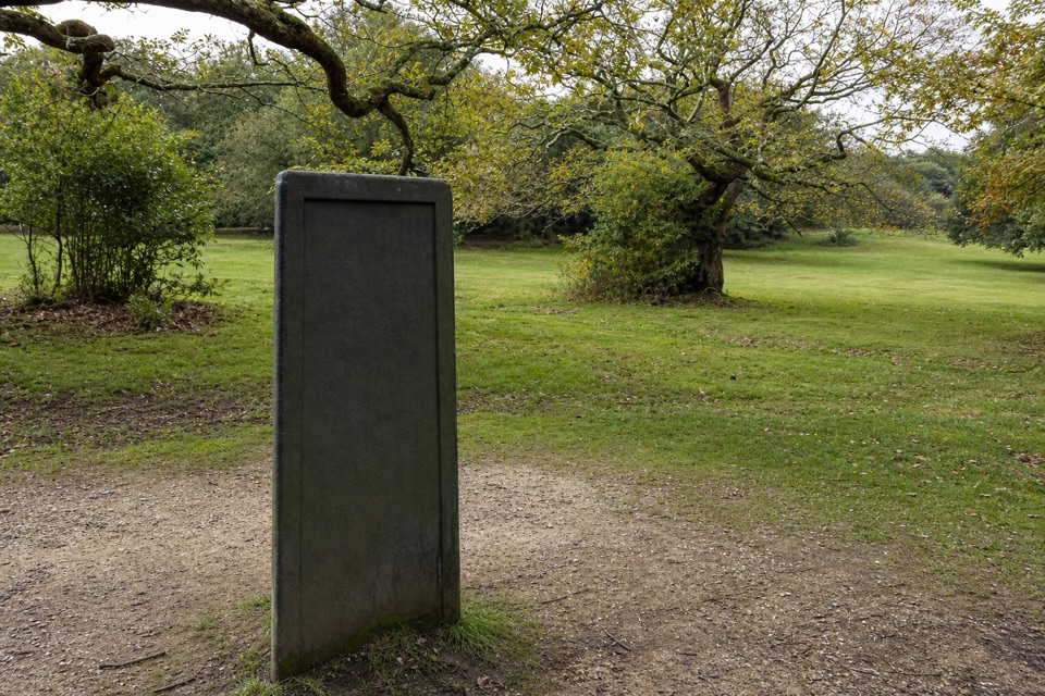 EasyBrook to Minstead11.6 km · 3.5 hr · 6.5 km awayA long circuit to Rufus Stone and Minstead's village green.ModerateLyndhurst Parish Walk15.1 km · 4 hr · 6.6 km awayA parish-boundary loop through hamlets, heath and four old pubs
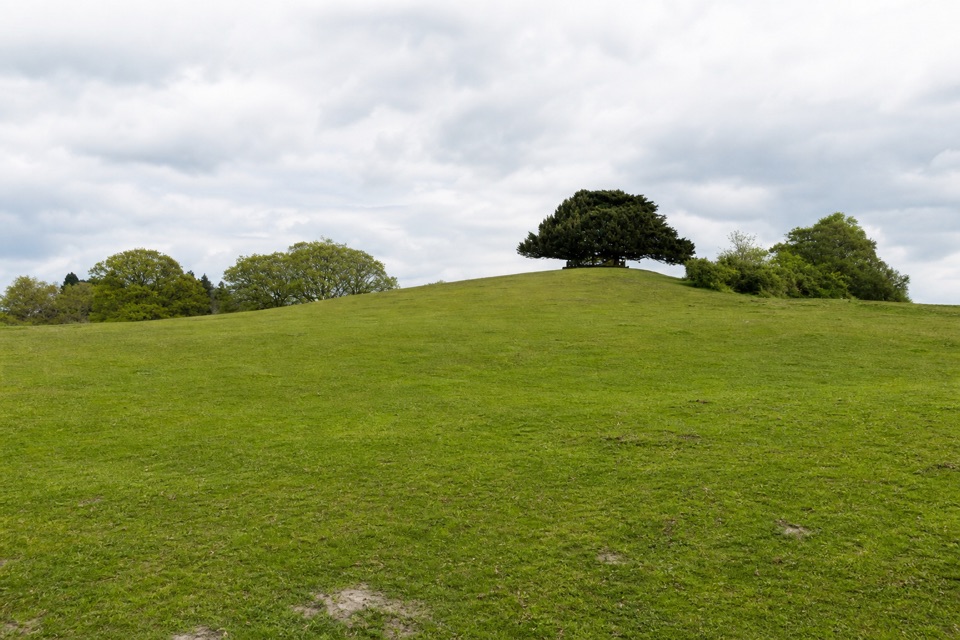 EasyLyndhurst Village1.6 km · 1 hr · 6.6 km awayA village detour for churchyard history and a yew-topped hill.
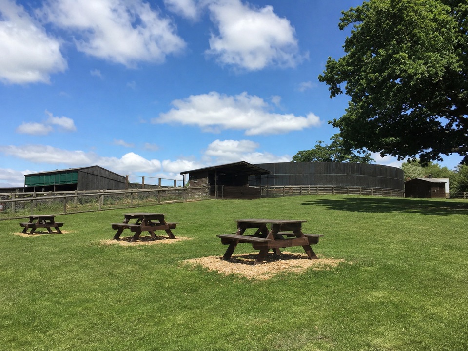 Sight · 3 km awayLongdown Activity FarmBottle-feed calves and kid goats, then explore the large play area
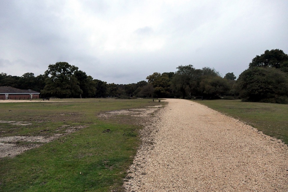 Campground · 3.6 km awayAshurst CampsiteStep off the train and pitch beneath ancient oaks
 Sight · 3.9 km awayPaultons ParkPeppa Pig World, coasters and penguins on the New Forest's edge
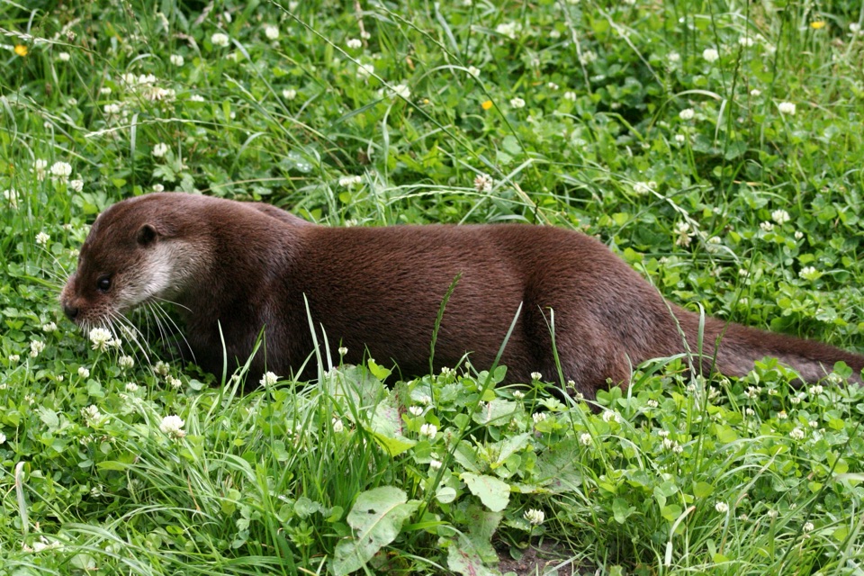 Sight · 3.9 km awayNew Forest Wildlife ParkWoodland trails with otters, wolves and bison, plus real conservation work
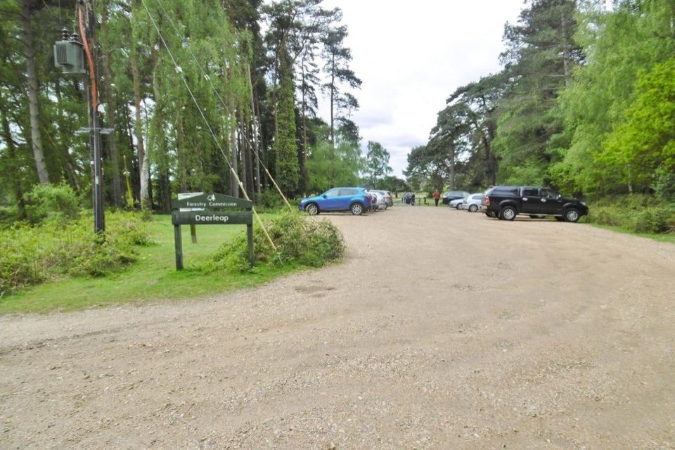 Sight · 4.3 km awayDeerleap ViewpointEasy launch pad into open heath, woodland tracks and grazing ponies
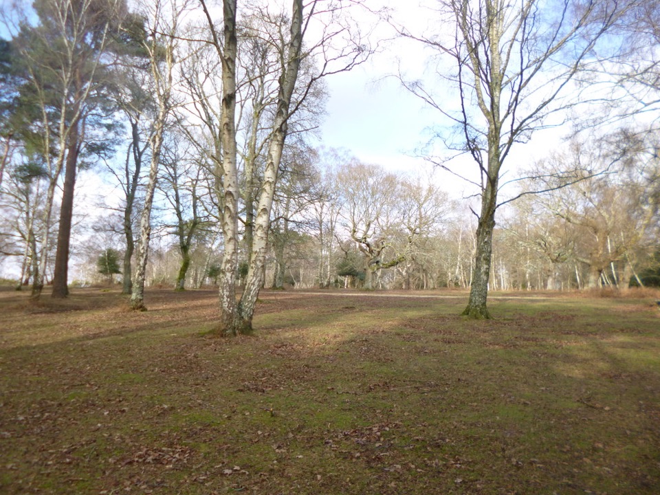 Campground · 6 km awayMatley Wood CampsiteOff-grid pitches in quiet woodland clearings, walks straight from camp
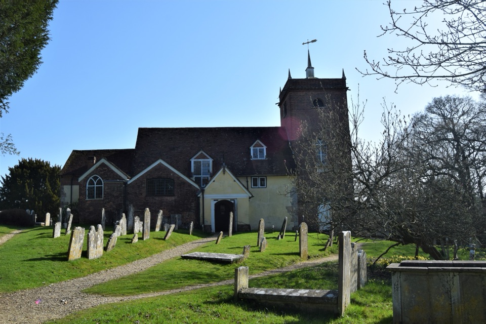 Sight · 6.3 km awayAll Saints' Church, MinsteadThree-decker pulpit, fireside box pews and Conan Doyle's churchyard graveSight · 6.4 km awayBolton's BenchAncient yews crown a small hill with wide heathland views
Parkwolf’s New Forest ranking

The audio tour guide for the drive, plus offline maps, trails, and wildlife heatmaps for when the signal drops.