Parking
There is no formal trail car park. Marchwood has some parking, and the cut-off section of Twiggs Lane south of the A326 may have only limited informal space; do not count on finding a space.
New Forest National Park, EN
A gentle loop through woodland, farm fields and old estate tracks.
Overview
Map & elevation
Plan your hike

The highest, rockiest slopes around here are a summer buffet for grizzly bears.
New Forest Tour Guide
Parkwolf is a GPS audio tour guide for New Forest National Park. As you drive, it chimes in with what’s ahead: hidden gems, upcoming stops, history, geology, and wildlife, right through your car’s speakers.
Recorded for this area
The Estate That Built Boats“Near Marchwood, the Carter's Lane walk crosses an old estate with a less obvious wartime story.”
Plays near this trailhead in the Parkwolf New Forest Tour Guide.
More stories near here in the app
“Fantastic app with many points of information… It’s great to just turn on while you’re driving and it gives you an audio tour of the national Park. We love it!!!!”


Trail guide
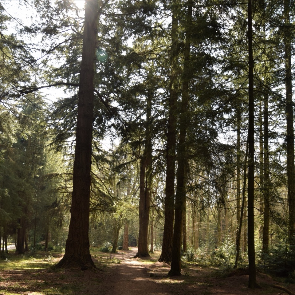
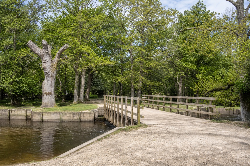
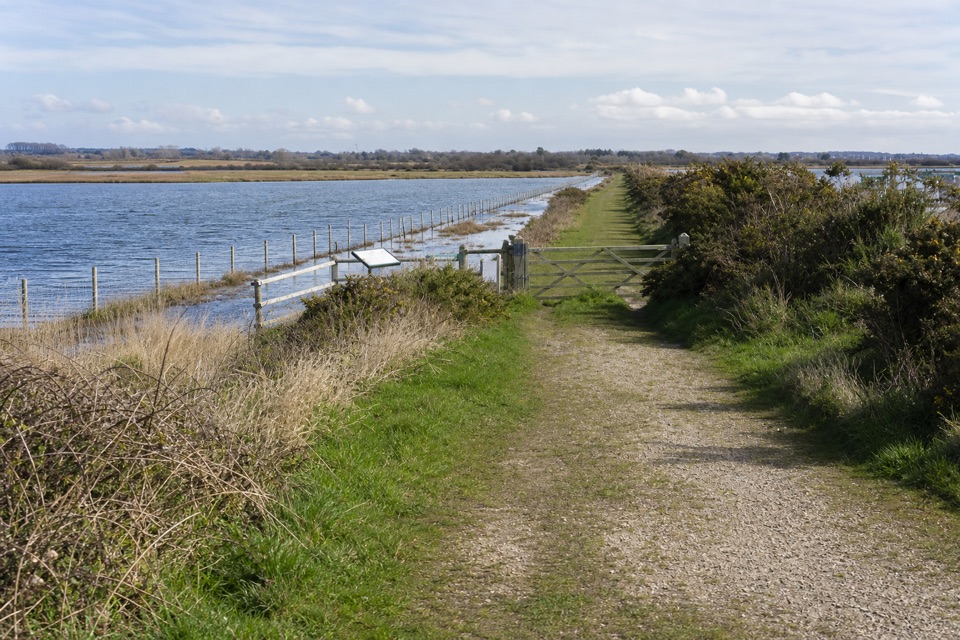
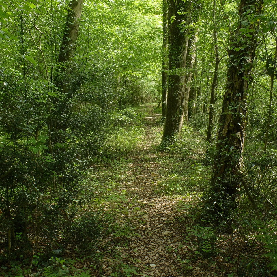
Carters Lane is a fairly flat loop of about 2.5 miles, usually around 1.5 hours. Starting on Twiggs Lane south of the A326, it follows a short lane approach to Hammond Lodge, then green paths through Hammond’s and Fir Copse before opening onto Beacons Field and farm tracks toward Birchlands Farm. At Carter’s Lane, retrace part of the farm track to the return path; the route then crosses fields and woodland by Home Farm before retracing the approach to Twiggs Lane. Several tracks follow old estate boundaries and lines shown on historic maps. The walled-garden remains and a glimpse of the estate lake add quiet points of interest along this working countryside route.
Expect woodland paths, field edges, some surfaced farm track and one short road stretch. The route is fairly flat but can be muddy; it also has gates, stiles and a narrow plank footbridge. Field crossings and boundaries slow the pace, so allow time and wear footwear that handles wet ground. This is not a smooth, step-free walk.
Start and finish on the cut-off section of Twiggs Lane south of the A326. The approach from Marchwood village uses the pedestrian crossing. There is no formal trail parking: the village has some parking, while informal space on south Twiggs Lane may be very limited. Ticks are noted along the walk, so check yourself after returning.
Wildlife
 28 sightingsRed DeerMost seen around 7 AMSighting map
 10 sightingsWhite-tailed EagleMost seen around 10 AMSighting map
 14 sightingsHarbor SealMost seen around 7 PMSighting map
 176 sightingsEuropean Fallow DeerMost seen around 7 PMSighting map
 93 sightingsWestern Roe DeerMost seen around 7 AMSighting map
 54 sightingsMute SwanMost seen around 6 PMSighting map
Sighting maps show where each species has been reported across New Forest. Wildlife moves, so no sighting is guaranteed.
Keep exploring
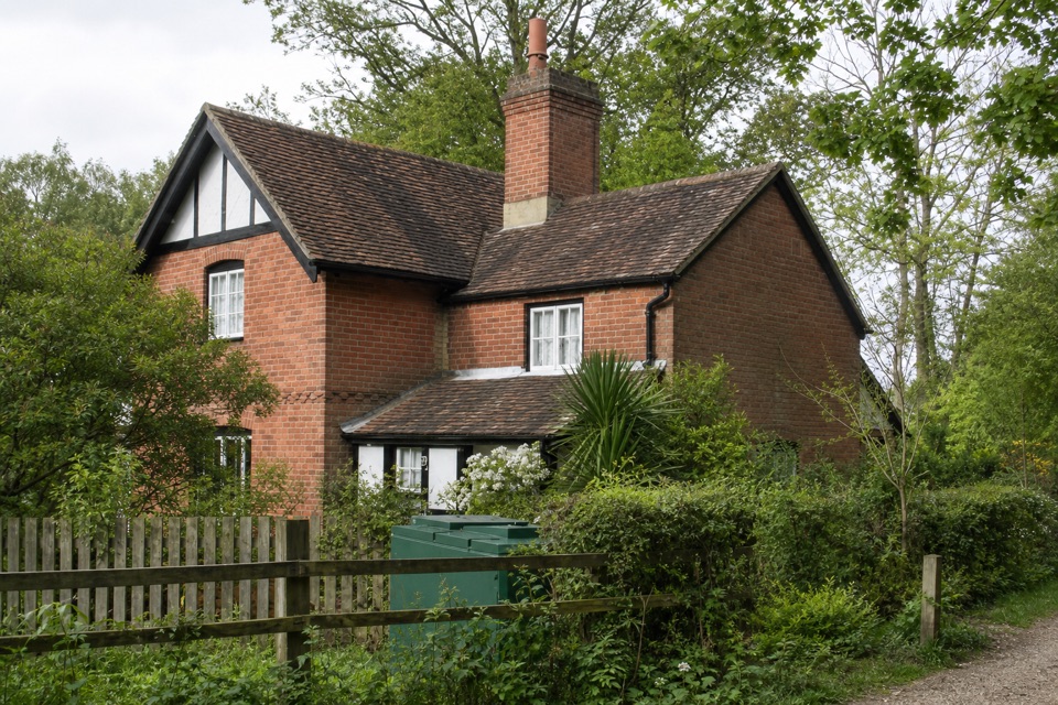 EasyAshurst Stroll4.5 km · 1.5 hr · 4.9 km awayAn easy loop past oak woodland and Tudor saltpetre-house earthworks
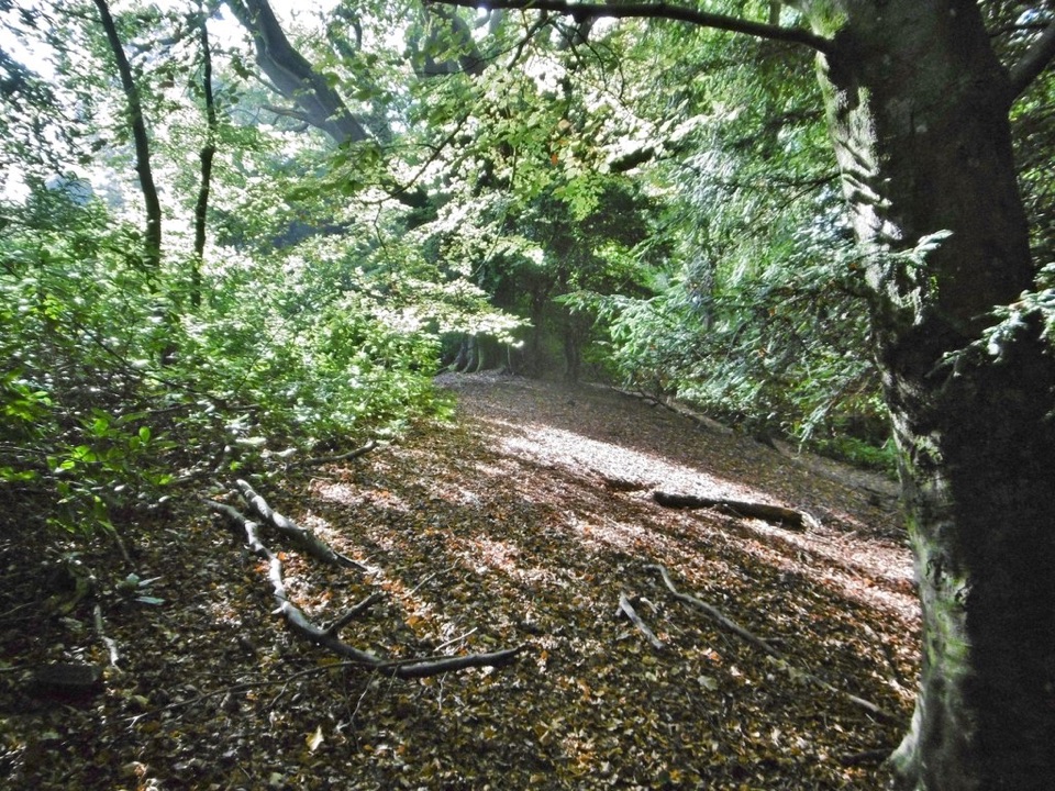 ModerateTatchbury Mount4.8 km · 2 hr · 5.9 km awayAn Iron Age hillfort, an old droveway and views across Netley Marsh.
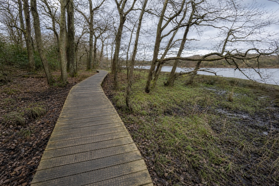 EasyBeaulieu to Buckler’s Hard Walk3.6 km · 1 hr · 7.5 km awayA saltmarsh riverside walk with a shipbuilding village at the end.
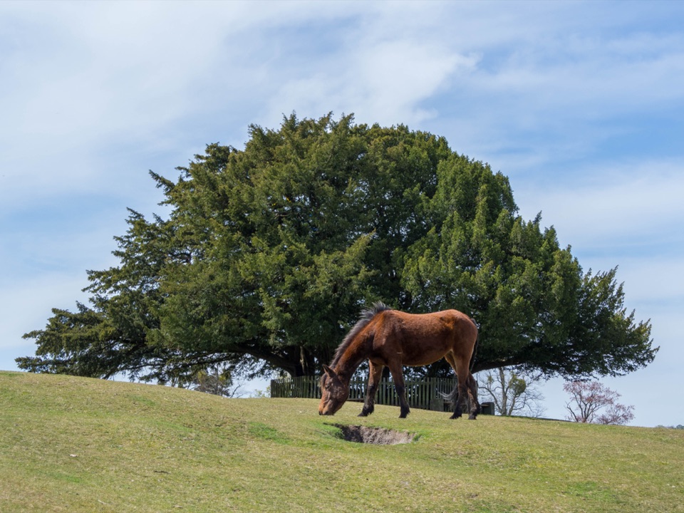 ModerateBolton’s Bench Loop5 km · 1.5 hr · 8 km awayShort circuit for heathland, ponies and a yew-topped hill.ModerateLyndhurst Parish Walk15.1 km · 4 hr · 8.4 km awayA parish-boundary loop through hamlets, heath and four old pubs
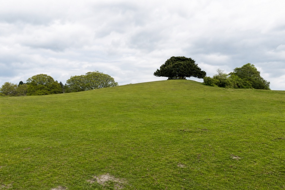 EasyLyndhurst Village1.6 km · 1 hr · 8.4 km awayA village detour for churchyard history and a yew-topped hill.
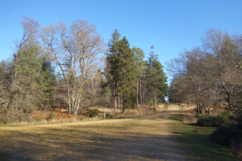 EasyHawkhill Loop2.7 km · 30 min · 8.4 km awayA brief circuit through tall trees on winding forest paths.
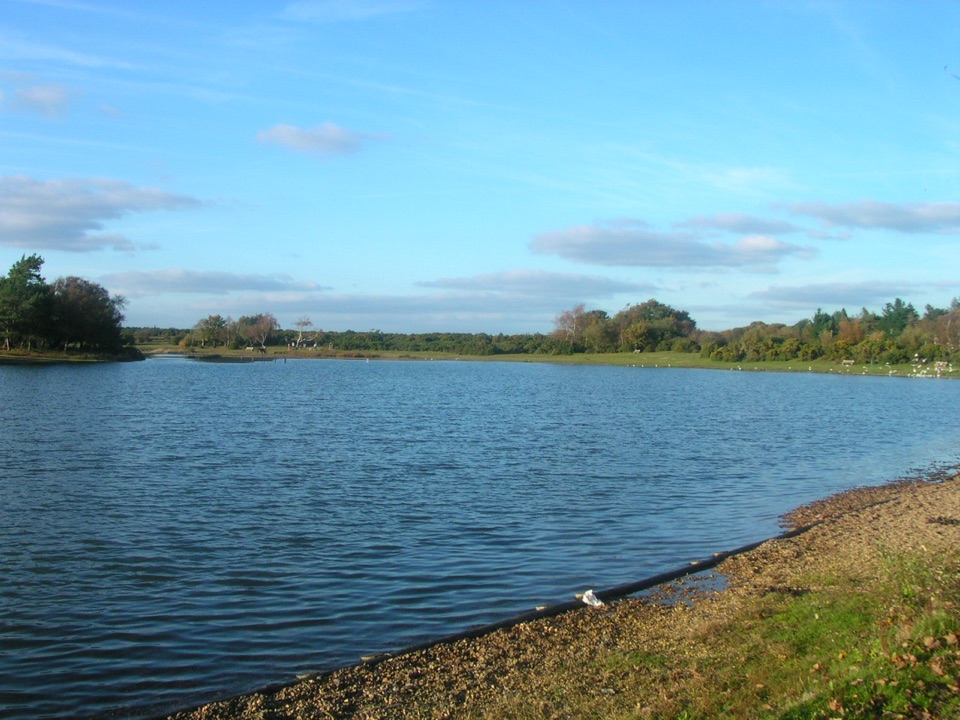 ModerateChapel Stores Walk6 km · 2 hr · 9 km awayA level heathland circuit between Hatchet Pond and Beaulieu Letters
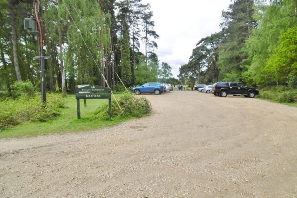 Sight · 3 km awayDeerleap ViewpointEasy launch pad into open heath, woodland tracks and grazing ponies
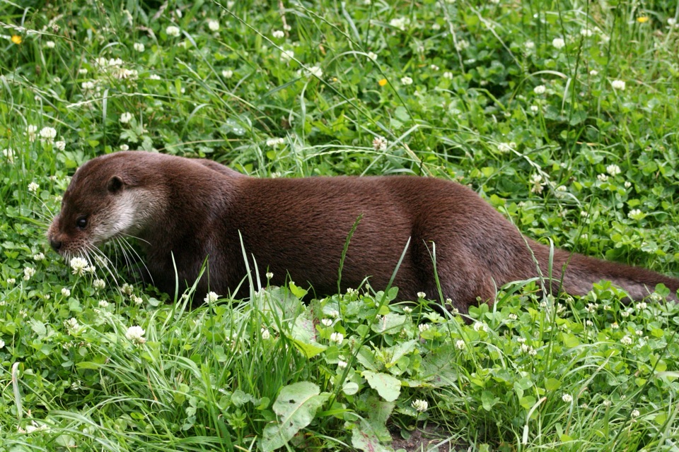 Sight · 3 km awayNew Forest Wildlife ParkWoodland trails with otters, wolves and bison, plus real conservation work
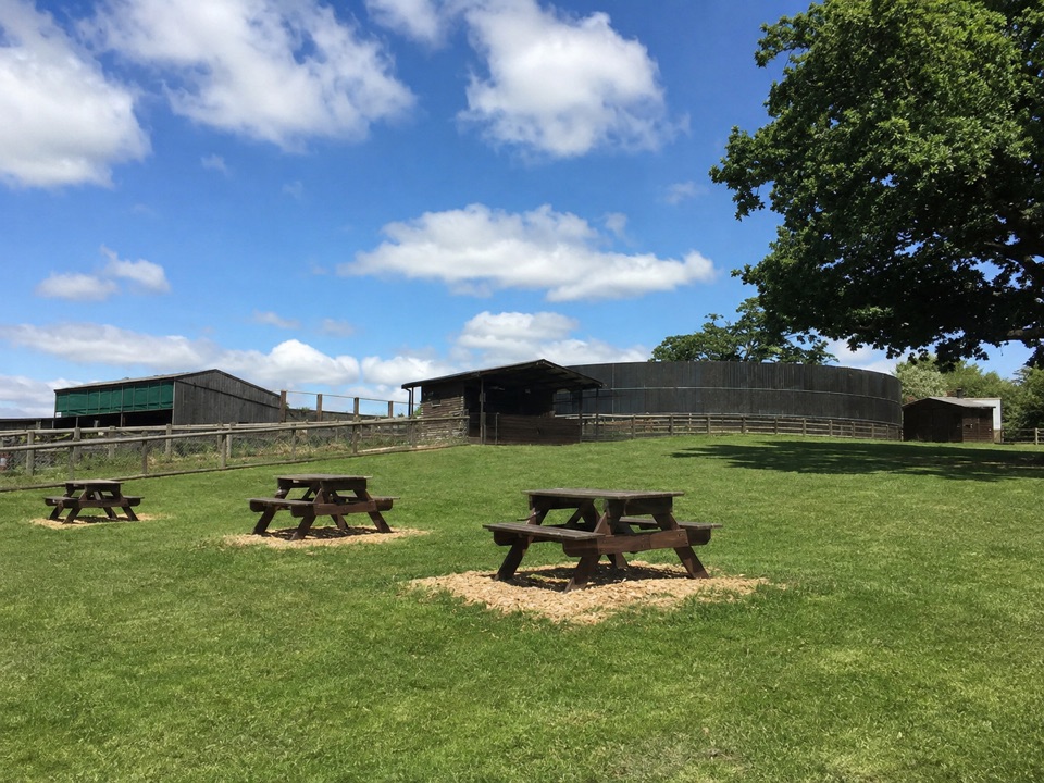 Sight · 3.6 km awayLongdown Activity FarmBottle-feed calves and kid goats, then explore the large play area
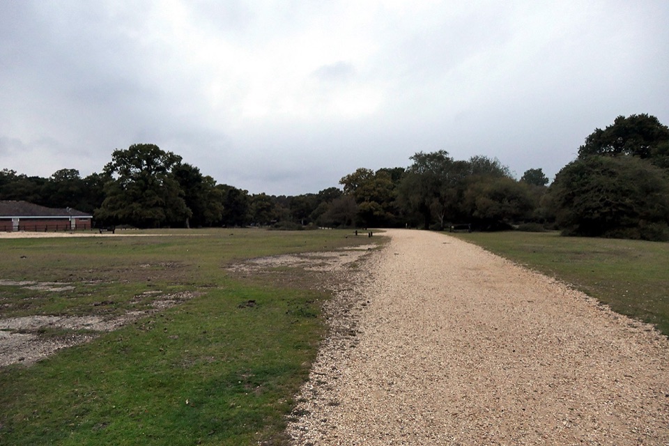 Campground · 5 km awayAshurst CampsiteStep off the train and pitch beneath ancient oaks
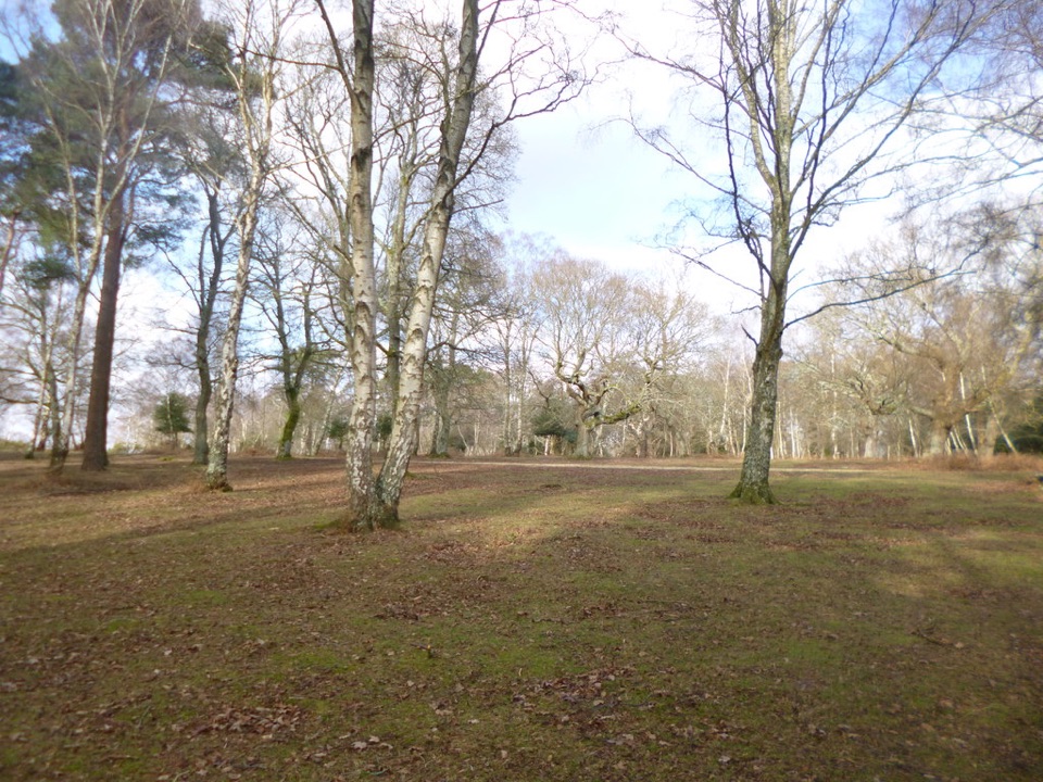 Campground · 5.7 km awayMatley Wood CampsiteOff-grid pitches in quiet woodland clearings, walks straight from camp
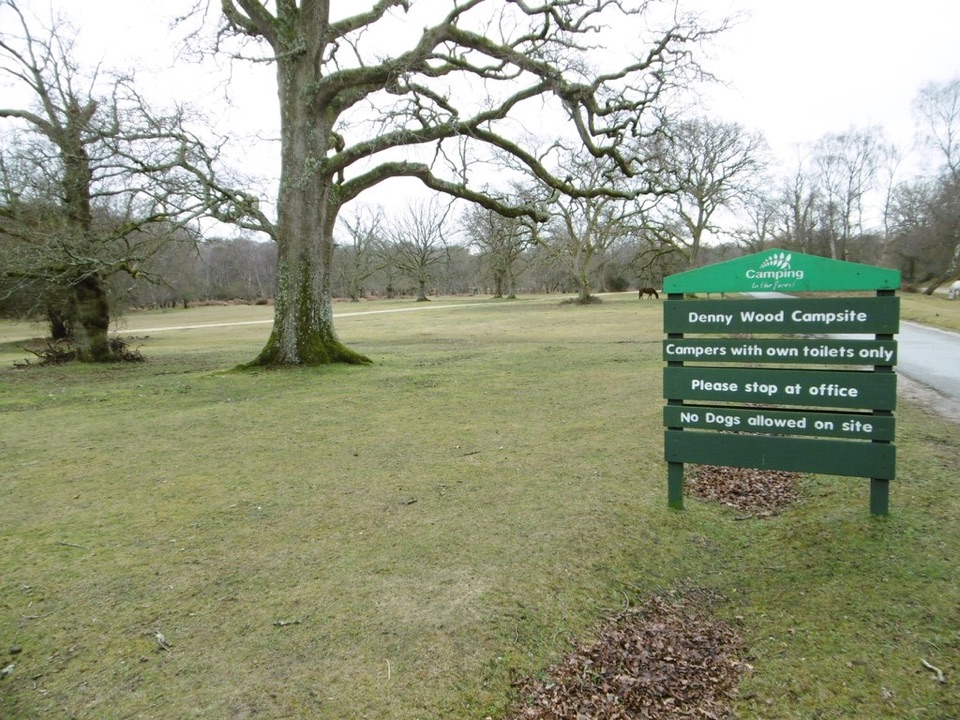 Campground · 5.7 km awayDenny Wood CampsiteBack-to-basics woodland pitches among ferns, oaks and fallen trees
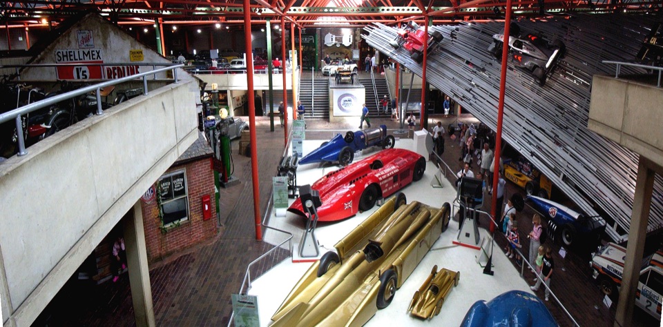 Sight · 6.9 km awayBeaulieu – National Motor MuseumOver 280 vehicles telling Britain's motoring story, from carriages to F1Sight · 8 km awayBolton's BenchAncient yews crown a small hill with wide heathland views
Parkwolf’s New Forest ranking

The audio tour guide for the drive, plus offline maps, trails, and wildlife heatmaps for when the signal drops.