
Place · 6.2 mi away
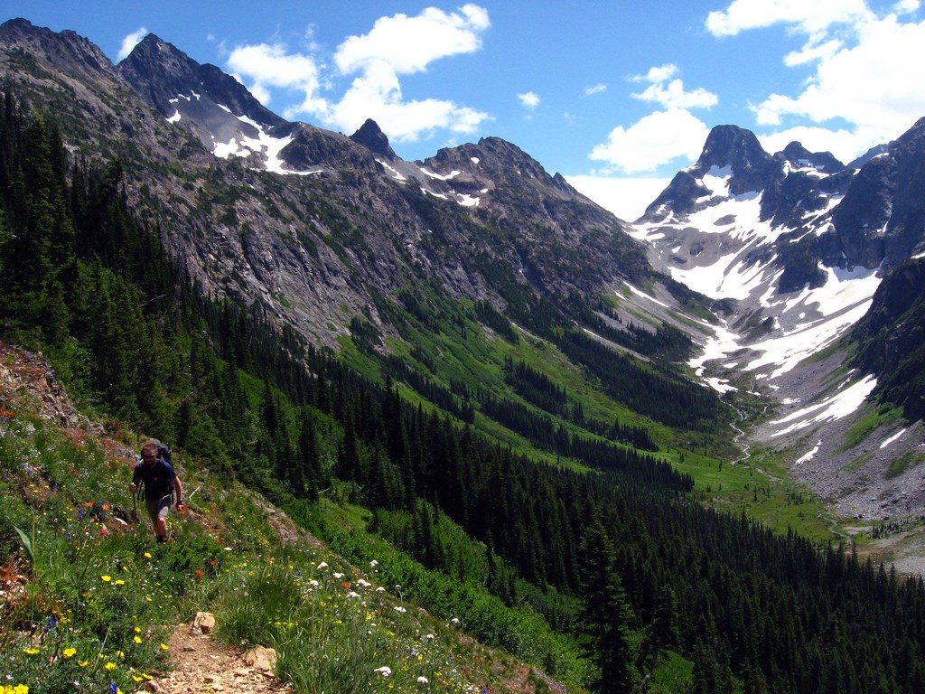
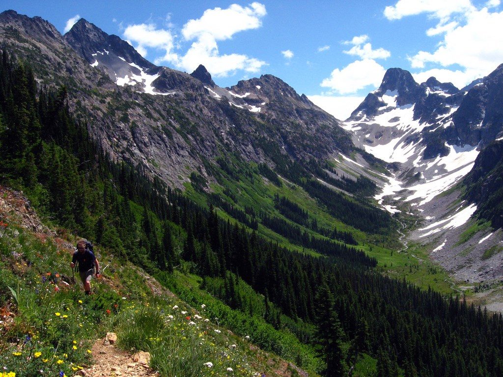
Despite the name, Easy Pass makes you earn the views. This stout climb tops out on a high saddle that looks straight into Fisher Basin and a skyline of North Cascades summits. Expect a mix of deep forest, avalanche meadows, creek crossings, and a final, steep talus push to the pass.
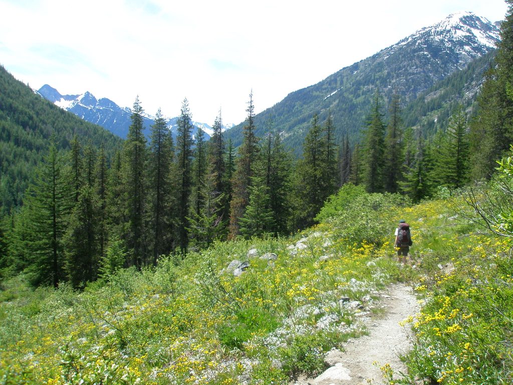
From the trailhead on SR 20, you’ll quickly cross Granite Creek and wind through hemlock–fir forest. The trail then enters broad avalanche paths on Ragged Ridge, with multiple crossings of Easy Pass Creek. Once you leave the forest, shade is scarce. The final mile switchbacks up loose, rocky slopes to the pass, which marks the boundary with the national park. Beyond, the path drops sharply into Fisher Basin toward Fisher, Cosho, and Junction camps.
Snow lingers on the shaded aspects into July and can obscure the trail; early season often requires snow travel skills. In spring runoff, Easy Pass Creek runs high—turn around if a crossing isn’t safe. By late summer, the pass itself can be dry, so plan your water. Wildflowers pop in early summer, and subalpine larches flare gold in autumn.
Keep an eye and ear out for pika and hoary marmots in the rock slopes. Deer are common, and black bears sometimes graze huckleberry meadows later in summer. The meadows here are fragile—stick to durable surfaces and avoid trampling vegetation.
The Fisher Basin name traces to early-1900s trappers. Far down the valley, the historic Rock Cabin—built against a boulder—survives as a remnant of that era. The pass area also sits along an ecological boundary between drier east-side forests and the wetter, glacier-fed west.
Pets aren’t allowed in the national park, including at and beyond the pass. There’s no camping at the pass or in its meadows; overnight stays are limited to designated backcountry sites farther west and require a permit. Parking at the roadside trailhead requires a Northwest Forest Pass. SR 20 typically closes in winter, limiting access until the highway reopens.
Mid-July through early October is the sweet spot: most snow is gone, wildflowers linger, and fall larch season is a stunner. Start early to beat heat on the exposed sections and to snag parking. Morning light paints Fisher Basin beautifully; afternoons can be hot and buggy on still days.
Place · 6.2 mi away
Place · 6.3 mi away
Place · 6.9 mi away
Place · 6.9 mi away
Challenging · 2.2 mi away
Challenging · 2.2 mi away
Challenging · 6.3 mi away
Easy · 6.3 mi away

Parkwolf Tour Guide
