
Place · 2.2 mi away
Challenging
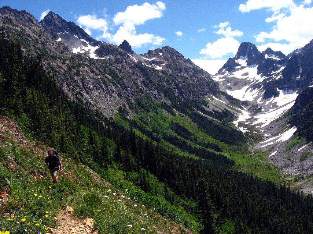
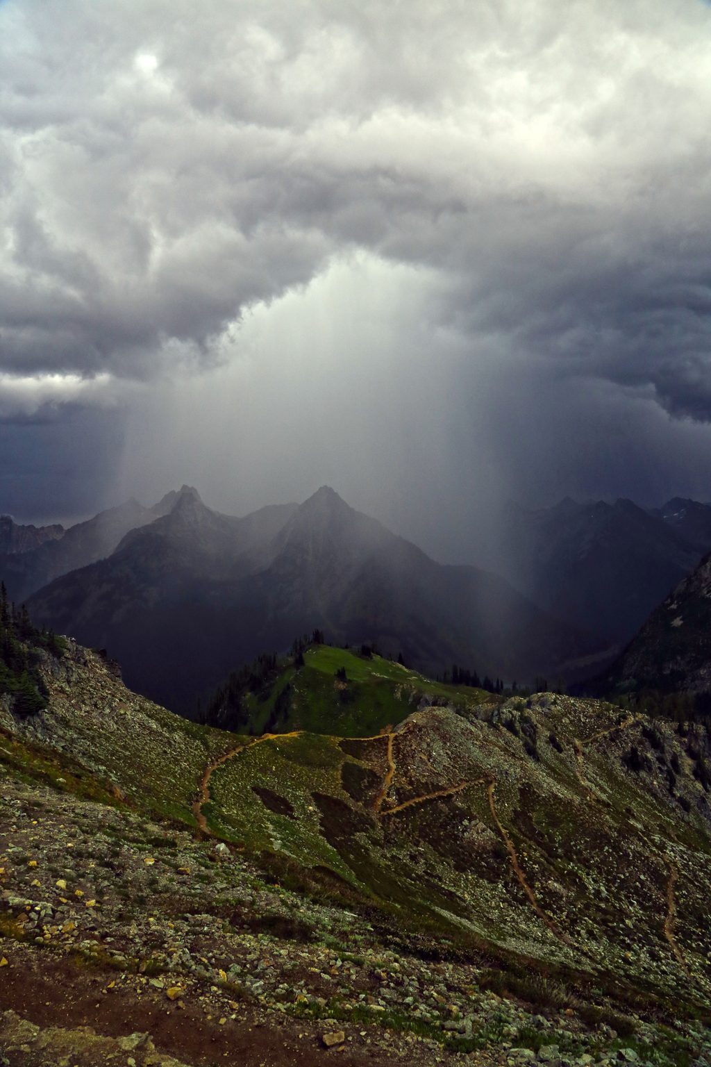
This is a big-mountain traverse that earns every view. Despite the name, the climb to Easy Pass is steep and rocky, with loose scree and talus near the top. From the pass, the trail drops into the wide, glacially carved Fisher Creek basin, then follows an old-growth corridor beneath high peaks. The full traverse runs about 14 miles one way, typically done with a shuttle. Many hikers sample it as a day hike to Easy Pass and back (about 7 miles total) or make an overnight to Fisher Camp and return.
Expect excellent forest tread low, then rubble, scree, and talus near the pass. The descent into the basin is steep at first, easing into gentle grades along Fisher Creek. Brushy stretches—especially thimbleberry—can hide ankle-biting rocks. Water is abundant in the basin (Fisher Creek) and from small creeks on the ascent, but the last reliable water before Easy Pass—and for about 1.5 miles beyond it toward Fisher Camp—is a creek crossing roughly two miles from the pass; plan to top off there. Recent work cleared large logs between Fisher Camp and Cosho Camp, making it log-free all the way to Junction Camp.
Backcountry permits are required for all overnight stays, and there’s no camping at Easy Pass or in its meadows. Fisher Camp (about 2 miles beyond the pass) sits at the meadow edge and has three designated sites (two small, one larger). Cosho Camp is about 6 miles beyond the pass (4 miles past Fisher Camp) in deep forest with flat, soft sites right along the creek—and it’s often surprisingly light on mosquitoes even by the water. Junction Camp lies near Fisher Creek with big views toward the Thunder Creek Valley and Boston Glacier.
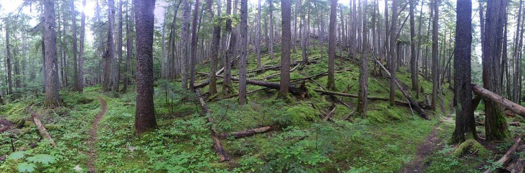
In the basin and lower valley, you’ll walk beneath silver fir, hemlock, cedar, and Douglas fir, with minimal undergrowth in places. Early season brings wildflower displays; autumn lights up with golden larches around the pass. Wildlife commonly spotted includes pikas and hoary marmots in the rocky zones, plus deer, smaller mammals, and the occasional black bear.
July through October is the sweet spot. Snow lingers on the north side of Easy Pass well into July and can be steep—an ice axe may be necessary until it melts out. Wildflowers peak in early summer; larches are prime in late September to early October. Mosquitoes can be pesky above 5,000 feet in midsummer. Midweek starts beat the small trailhead crowd, and morning light is excellent on the pass and in the east-facing basin meadows.
Park at the Easy Pass trailhead directly off Highway 20; a Northwest Forest Pass is required. Pets are not allowed anywhere on this route inside the national park. The vegetation here is fragile—stay on durable surfaces (trail, snow, or rock) to protect the meadows.
From Fisher Camp, it’s about 1,150 feet back up to Easy Pass. The pass approach is steep, rocky, and not "easy"—expect a strenuous day, especially with a pack. The traverse rewards the effort with big alpine scenery and serene creekside camping.
Easy Pass Trailhead on Highway 20 (MP 151–152). Small lot (~10 spots) with a restroom; Northwest Forest Pass required.
Steep scree and talus near Easy Pass; lingering steep snow into July; brush hides rocks; fragile meadow vegetation—stay on durable surfaces; last reliable water before/after the pass is a few miles from Fisher Camp.
Place · 2.2 mi away
Place · 5.7 mi away
Place · 5.9 mi away
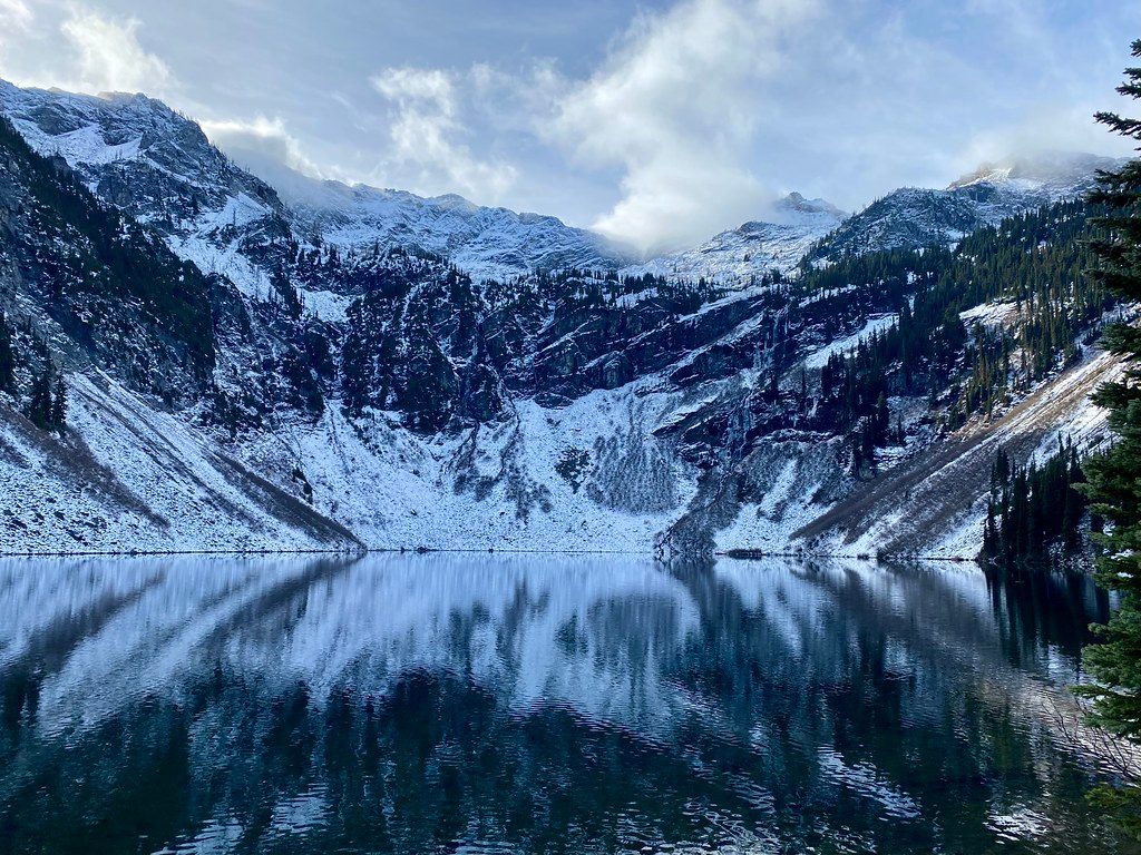
Place · 6.7 mi away
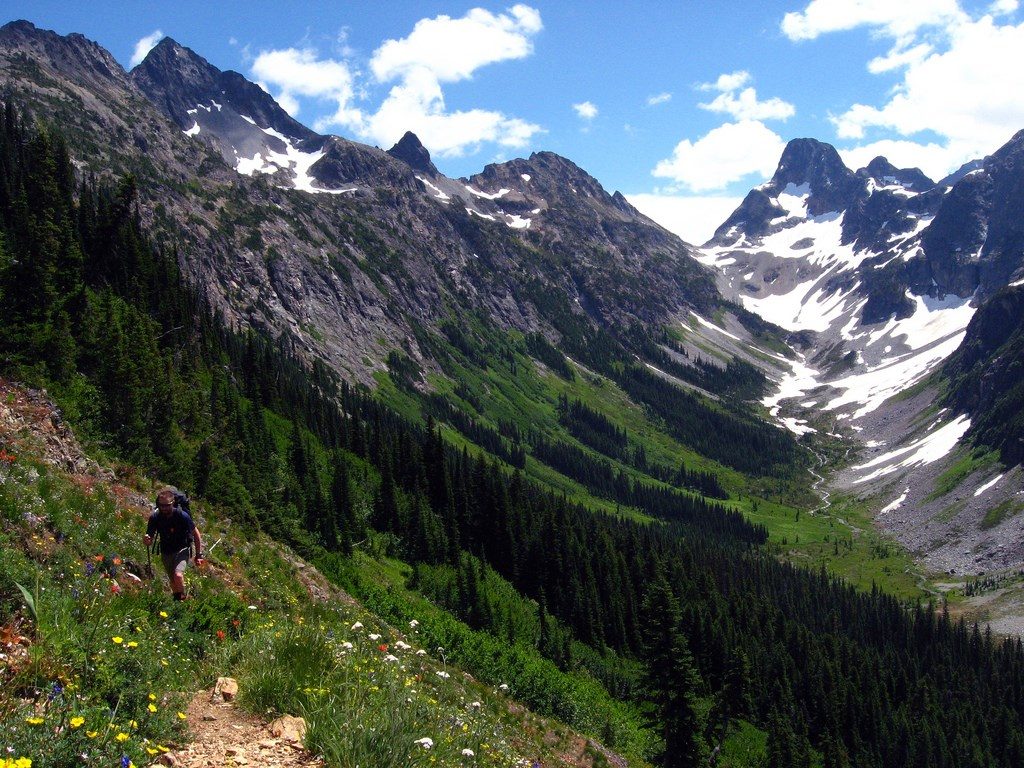
Challenging · 0 mi away
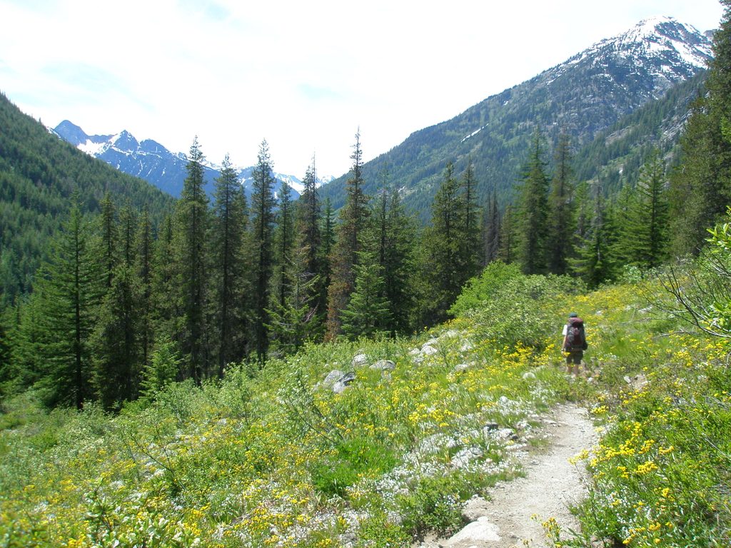
Challenging · 5.8 mi away
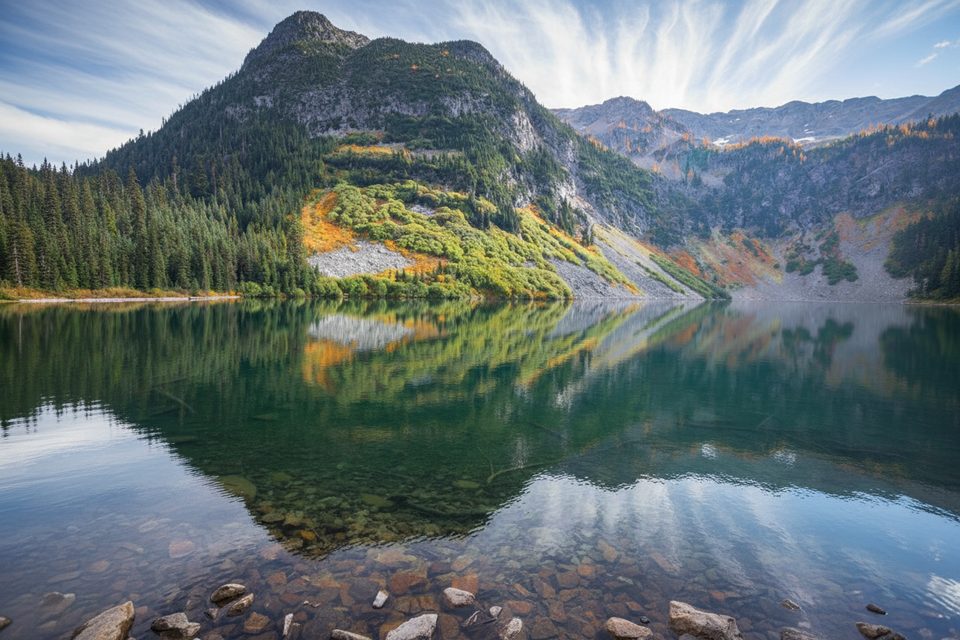
Easy · 5.9 mi away
Challenging · 5.9 mi away

Parkwolf Tour Guide
