
Place · 2.2 mi away
Challenging
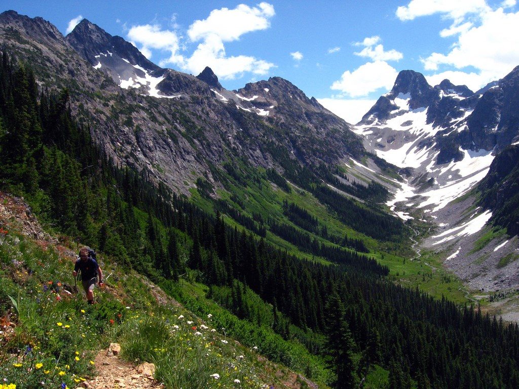
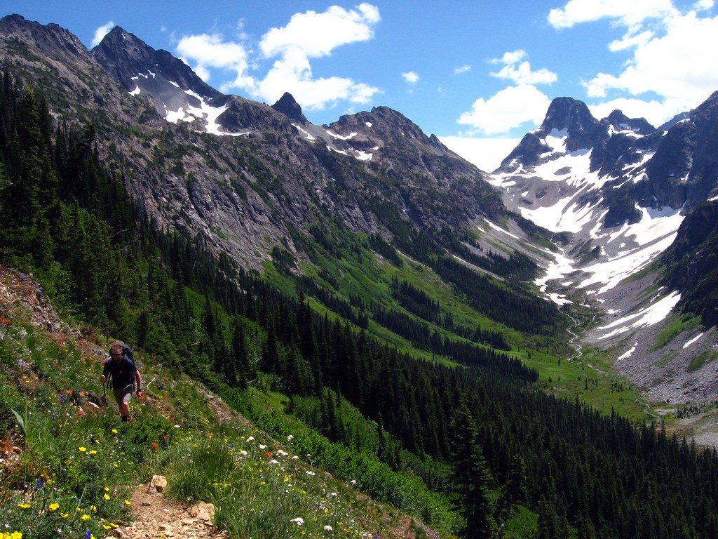
Despite its name, this is a stout mountain climb with a massive payoff. The Easy Pass Trail runs roughly 7.2 miles total (out-and-back) with about 2,800–3,000 feet of gain and typically takes around 5 hours. From deep forest to avalanche meadows, talus, and a high pass, it’s a concentrated North Cascades sampler—strenuous, scenic, and less crowded than some Highway 20 headliners.
From a trailhead just off Highway 20, you quickly cross Granite Creek on a sturdy log bridge and begin a steady, rolling ascent through forest for the first 1.5–2 miles. You’ll meet Easy Pass Creek multiple times—early-season runoff can make the first crossing spicy, while a later crossing is usually more secure. Past the forest, the path spills into a broad, rocky alpine meadow with full sun exposure and your target—Easy Pass—framed ahead. The final mile is the crux: tight switchbacks on a steep talus slope that’s prone to small slides. Crews often re-establish tread each season, but expect loose rock and careful footwork. Top off water along the creek before this push; late summer often means no water at the pass.
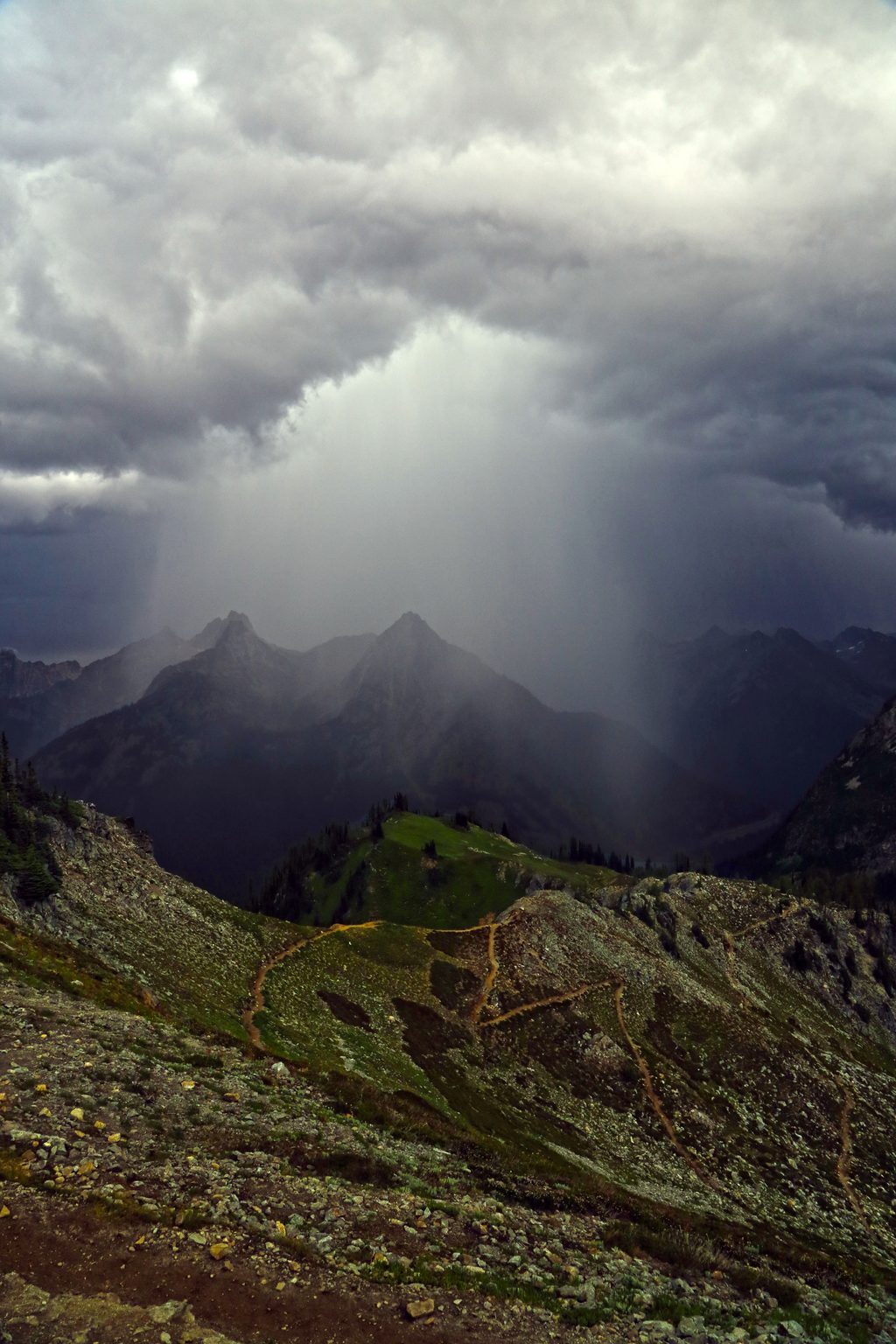
At the top, you’ll hit the boundary between national forest and North Cascades National Park and a grandstand over Fisher Basin. Peaks like Logan, Fisher, and Arriva dominate the skyline. In early summer, wildflowers pop along the meadows; by fall, the subalpine larches go gold and huckleberry leaves blaze red—a signature season for this trail. Watch for pika and hoary marmots among the rocks, deer in the meadows, and the occasional black bear.
Summer through fall is prime. Early season (often into July) can hold steep snow on the north side; only proceed if you have the skills and tools. Mid-summer brings heat and full exposure in the upper valley—start early for cooler temps and better light on the peaks. Late September to early October is the sweet spot for larches, crisp air, and big views. Weekdays see fewer hikers than weekends.
No camping at Easy Pass or in the meadows. Overnight trips in the park (Fisher Creek basin camps like Fisher, Cosho, Junction) require a backcountry permit. Dogs are not allowed within the national park—plan accordingly. A Northwest Forest Pass is required to park at the trailhead. Day hiking the pass itself doesn’t require a separate permit.
From the pass, a descent into Fisher Basin reveals tight switchbacks and excellent flowers—return the same way or make it part of a bigger multi-day traverse with permits. Ambitious parties link Easy Pass to Fisher Creek and Thunder Creek for a long point-to-point. Want something lower commitment nearby? Consider the Diablo Lake Trail or the drive-up overlook for classic turquoise water views.
Trailhead on SR 20 around milepost 151 (south side of the highway). A Northwest Forest Pass is required to park.
High, fast creek crossings in spring; steep, loose talus and lingering early-season snow; full sun exposure; respect fragile alpine vegetation and recent fire closures.
Place · 2.2 mi away
Place · 5.7 mi away
Place · 5.9 mi away
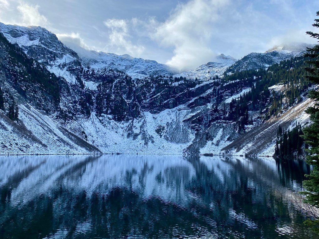
Place · 6.7 mi away
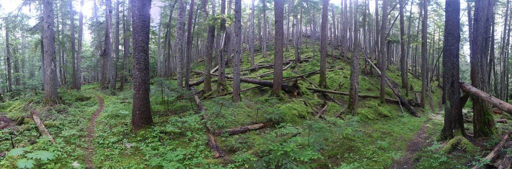
Challenging · 0 mi away
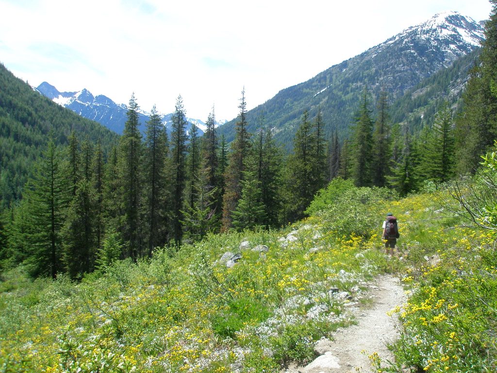
Challenging · 5.8 mi away
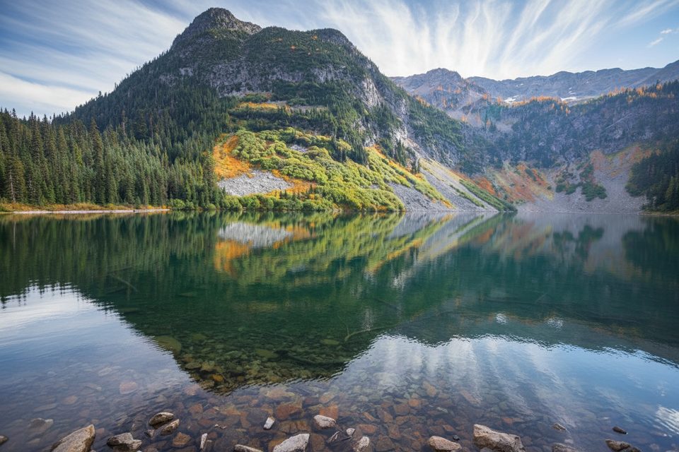
Easy · 5.9 mi away
Challenging · 5.9 mi away

Parkwolf Tour Guide
