
Place · 2.6 mi away
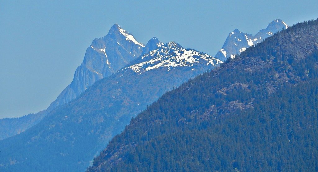
Hozomeen Mountain is a rugged, double-summited peak that towers over the north end of Ross Lake right at the U.S.–Canada border. It’s remote, stark, and dramatic—the kind of North Cascades objective that rewards those who are comfortable with long approaches and serious alpine terrain.
This part of the range is a showcase of the North Cascades’ terrane-collage story: exotic crustal blocks were sutured onto North America, metamorphosed, intruded by granitic magmas, uplifted, and carved by ice. Hozomeen itself is dominated by the Hozomeen Group—slightly metamorphosed greenstones with chert and phyllite—rocks that help explain the mountain’s steep, broken character. Glaciers during the last ice age sculpted the surrounding U-shaped valleys and left only the highest summits poking above the ice.
Hozomeen is synonymous with Hozomeen chert—a distinctive tool stone used by Indigenous peoples for thousands of years around Ross Lake. The first recorded ascent of the mountain was in 1904, but human connections to this landscape reach far deeper through the chert story.
Don’t plan on driving in from Canada: the gate at the border remains closed to vehicle and foot traffic. From the U.S. side, most parties either boat up Ross Lake (launch on Diablo Lake, portage around Ross Dam, and continue up-lake; seasonal water taxi/portage services operate) or hike in on the East Bank Trail—31 miles one way to the Hozomeen area if you’re staging from there. Overnight travel on the East Bank requires a backcountry permit.
This is a self-sufficient trip: there’s no cell service, no trash service, and you should not rely on potable water or open restrooms. Pack out everything, bring robust water treatment, and carry a wag bag in case toilets are closed.
Expect a very strenuous outing on steep, complex terrain. The easiest line is an exposed Class 4 snow/rock scramble; other routes involve technical fifth-class sections. The rock can be fractured and slick in places—typical of alpine routes on these metamorphic units. Older descriptions that rely on the “border swath” approach from the north are not compatible with the current closure; stick to U.S.-side boat or trail access. Best climbing conditions generally arrive in July and August.
Ross Lake is typically at full pool from July through Labor Day, which helps with boat approaches. Mosquitoes can be heavy in late summer—come prepared. Given the remoteness and limited services, build buffer days into your plan and verify any seasonal transport schedules before committing.
If you’re after a big, remote North Cascades objective with serious commitment and a dose of geologic intrigue, Hozomeen is absolutely worth the effort. If you want an easy summit or a casual day hike, look elsewhere—this one makes you earn every view.
Place · 2.6 mi away
Place · 2.7 mi away
Place · 4.9 mi away
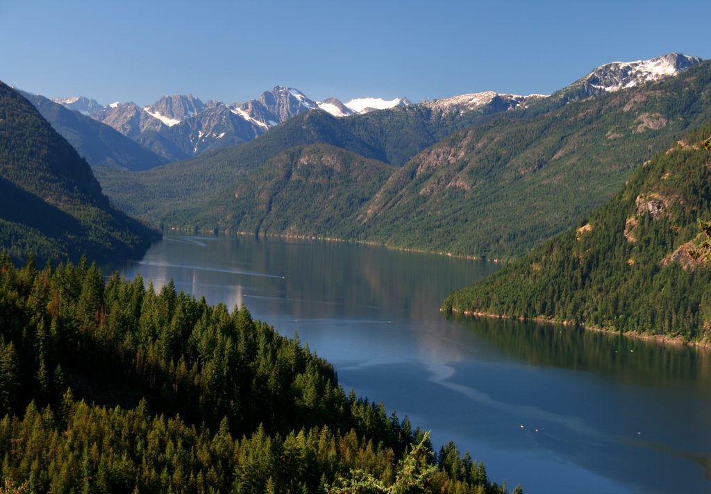
Place · 7.6 mi away
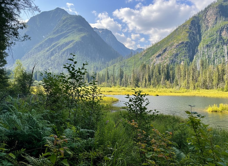
Challenging · 11 mi away
Easy · 17.6 mi away
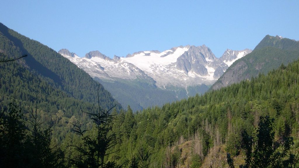
Moderate · 17.7 mi away
Moderate · 18.8 mi away

Parkwolf Tour Guide
