Parking
From SR 20 near mile 128, turn onto Diablo Dam Road, cross the dam and follow the access road to the Environmental Learning Center lot at the trailhead. Parking can be very crowded in summer, and the road may have seasonal limits.

North Cascades National Park, WA
A long forest climb earns a high bridge over Diablo Lake
Overview
Map & elevation
Plan your hike

The highest, rockiest slopes around here are a summer buffet for grizzly bears.
North Cascades Tour Guide
Parkwolf is a GPS audio tour guide for North Cascades National Park. As you drive, it chimes in with what’s ahead: hidden gems, upcoming stops, history, geology, and wildlife, right through your car’s speakers.
See the North Cascades audio tourRecorded for this trailhead
Environmental Learning Center: A Planned Stay on Diablo Lake“You’re nearing the North Cascades Environmental Learning Center, a wooded residential campus on Diablo Lake.”
Plays as you drive up to this trailhead in the Parkwolf North Cascades Tour Guide.
More stories near here in the app
“Fantastic app with many points of information… It’s great to just turn on while you’re driving and it gives you an audio tour of the national Park. We love it!!!!”


Trail guide
Diablo Lake Trail is a 7.6-mile out-and-back from the North Cascades Environmental Learning Center to the suspension bridge by Ross Dam. It rises and falls about 1,300 feet along the north side of the lake; allow four to five hours. Go for the gradual shift from forest to gorge views, not for a lakeshore walk. The bridge is the payoff, and the way back is the same route in reverse.
The trail starts with a gentle climb through old-growth forest, crosses the Sourdough Creek trail, then reaches the broad, dry bed of Deer Creek around 1,500 feet. That open channel gives you a sense of how much water can move through these steep valleys during floods. About 1.5 miles in, a short side trail near the transmission lines reaches the first Diablo Lake vista. Keep going: the views widen farther along the route.
The path follows the flanks of Sourdough Mountain, crossing talus and open edges above the water. You’ll see the lake below, peaks including Pyramid, Snowfield, Davis and Colonial, and tall waterfalls spilling into the gorge. The first vista is a good pause; later openings give a broader look at the lake and surrounding peaks. At the first vista and above the gorge, frame some rocky shore with the water so the view keeps its scale.
An avalanche track comes before the final switchbacks. Snow can linger there in winter and early spring. The trail then drops about 600 feet to the high suspension bridge near Ross Dam. The park’s route description includes crossing the bridge, but other route information still warns of a rockslide at the east landing. Check current trail conditions before counting on the crossing. If you do reach the far side, turn around there; the return climbs the steep drop before retracing the rest of the trail. Leashed dogs are allowed, but keep them close on the exposed edges.
From SR 20 near mile 128, turn onto Diablo Dam Road, cross the dam and follow the access road to the Environmental Learning Center parking area. The lot can be very crowded in summer, and road access can be seasonal. A seasonal ferry may let you walk one way when service is running and space remains after resort guests; confirm both before building your plan around it. There’s no toilet at the trailhead. If you only want a quick lake view, the roadside Diablo Lake Vista Point is a separate, easier stop.
Wildlife
 101 sightingsMountain GoatMost seen around 6 PMSighting map
 70 sightingsBlack BearMost seen around 8 PMSighting map
 20 sightingsMule DeerMost seen around 7 PMSighting map
 77 sightingsSooty GrouseMost seen around 6 AMSighting map
 23 sightingsWhite-tailed PtarmiganMost seen around 6 PMSighting map
 75 sightingsWestern ToadMost seen around 8 PMSighting map
Sighting maps show where each species has been reported across North Cascades. Wildlife moves, so no sighting is guaranteed.
Keep exploring
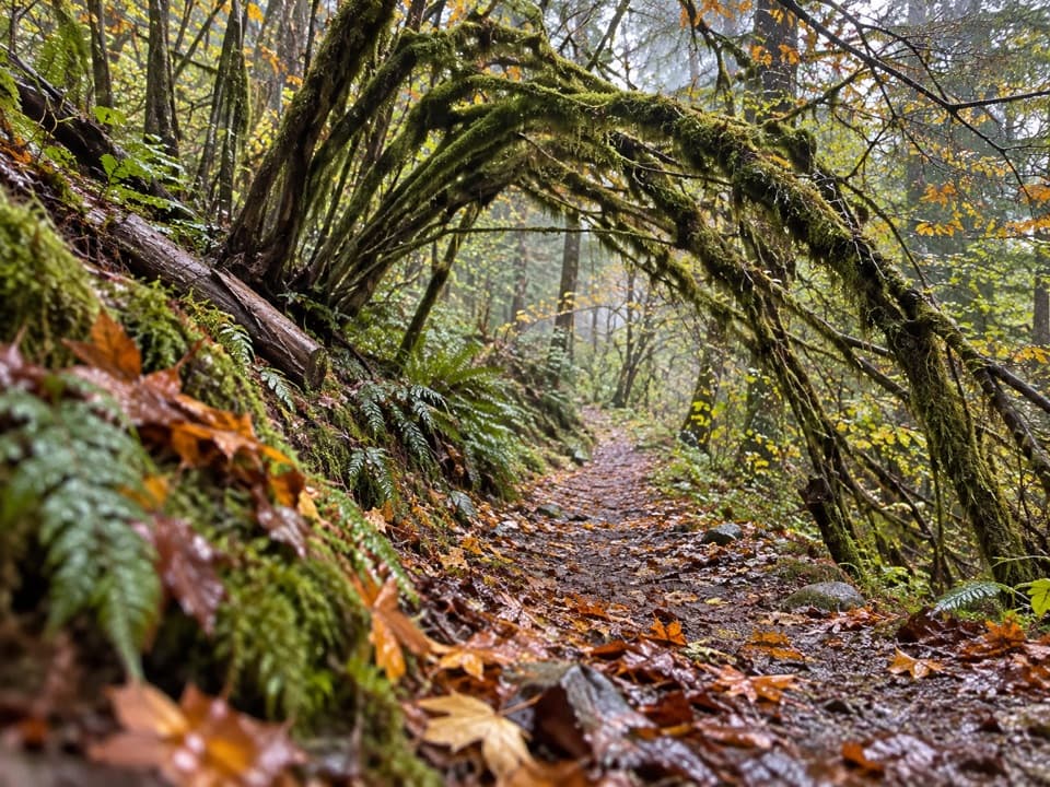 ModerateSourdough Creek Trail3.5 mi · 2.8 hr · 0.1 mi awayA forest path to Sourdough Creek Falls, with a rocky finish.
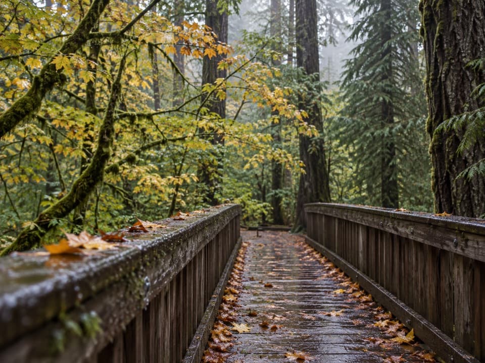 EasyDeer Creek Loop0.3 mi · 15 min · 0.2 mi awayA quarter-mile loop winds beside Deer Creek Shelter.
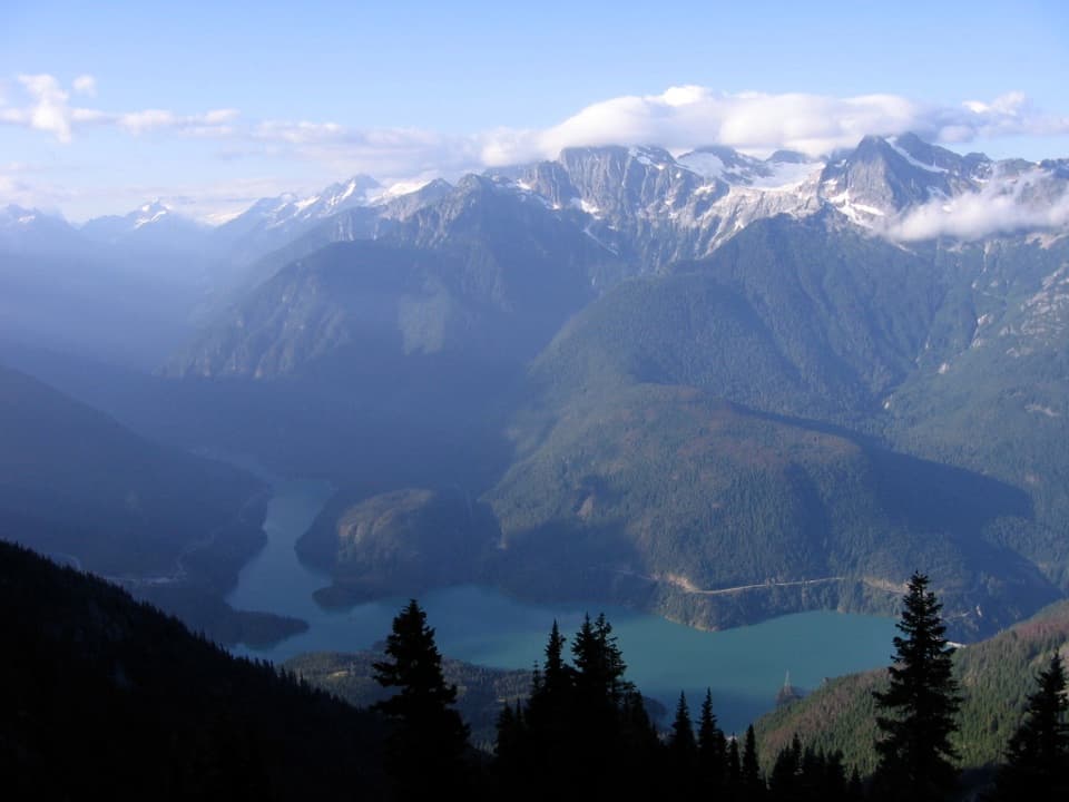 ChallengingSourdough Mountain Trail10.4 mi · 9 hr · 1.2 mi awayNearly 5,000 feet of climbing for the Diablo Lake panorama.
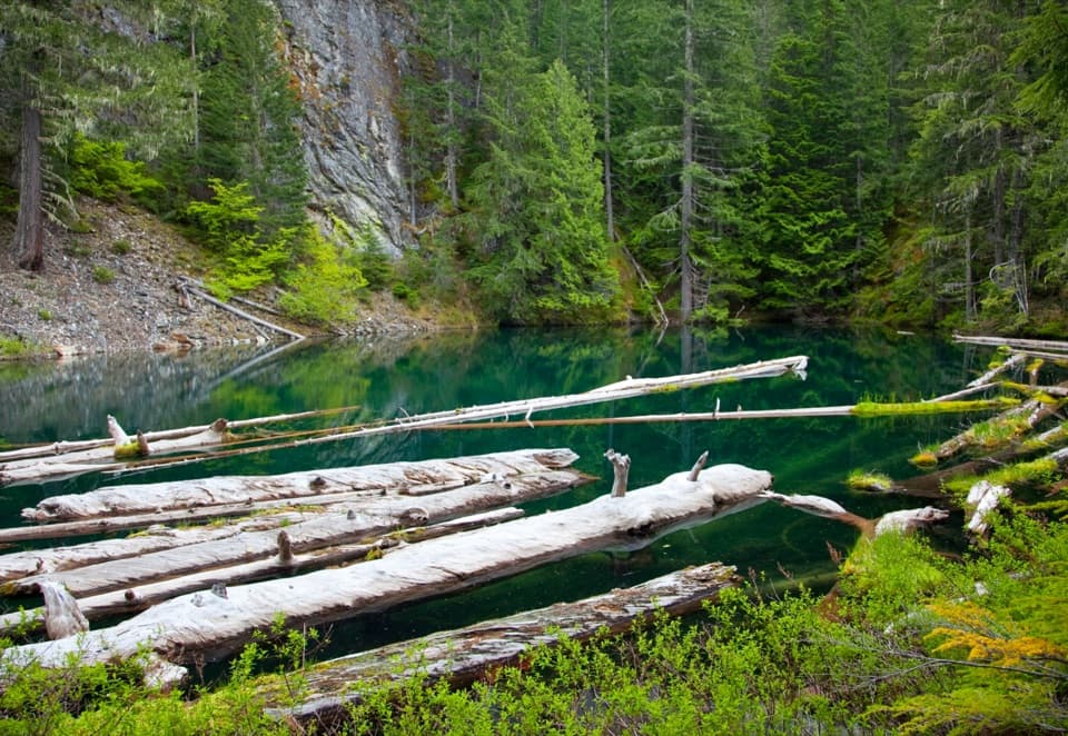 ModeratePyramid Lake Trail4.2 mi · 2.8 hr · 1.3 mi awaySteep miles to a tiny lake threaded with floating logs.
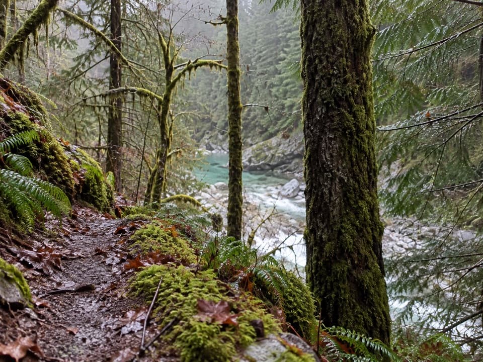 ModerateStetattle Creek Trail6 mi · 3.5 hr · 1.4 mi awayA rocky creekside start opens to a mossy forest traverse.
 ModerateThunder Knob Trail3.8 mi · 2.5 hr · 2.2 mi awayTake the steady climb for broad views over turquoise Diablo Lake.
 ModerateRoss Dam Trail2.5 mi · 2 hr · 2.7 mi awayWalk through forest to Ross Dam, then climb back to SR 20.
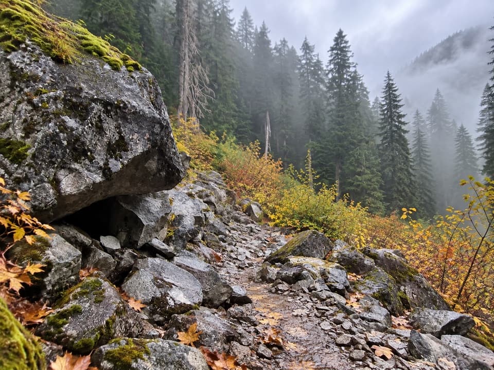 ChallengingBig Beaver Trail24.6 mi · 18 hr · 2.7 mi awayA long valley traverse past ancient cedars and beaver marshes.
 Sight · 0.2 mi awayNorth Cascades Environmental Learning CenterBook a program for lakeside learning, meals and trail days.
 Sight · 0.7 mi awayDiablo DamA public road crosses the 389-foot dam beside Diablo Lake.
 Campground · 1 mi awayBuster Brown CampA lake camp reached by water, with its own boat dock.
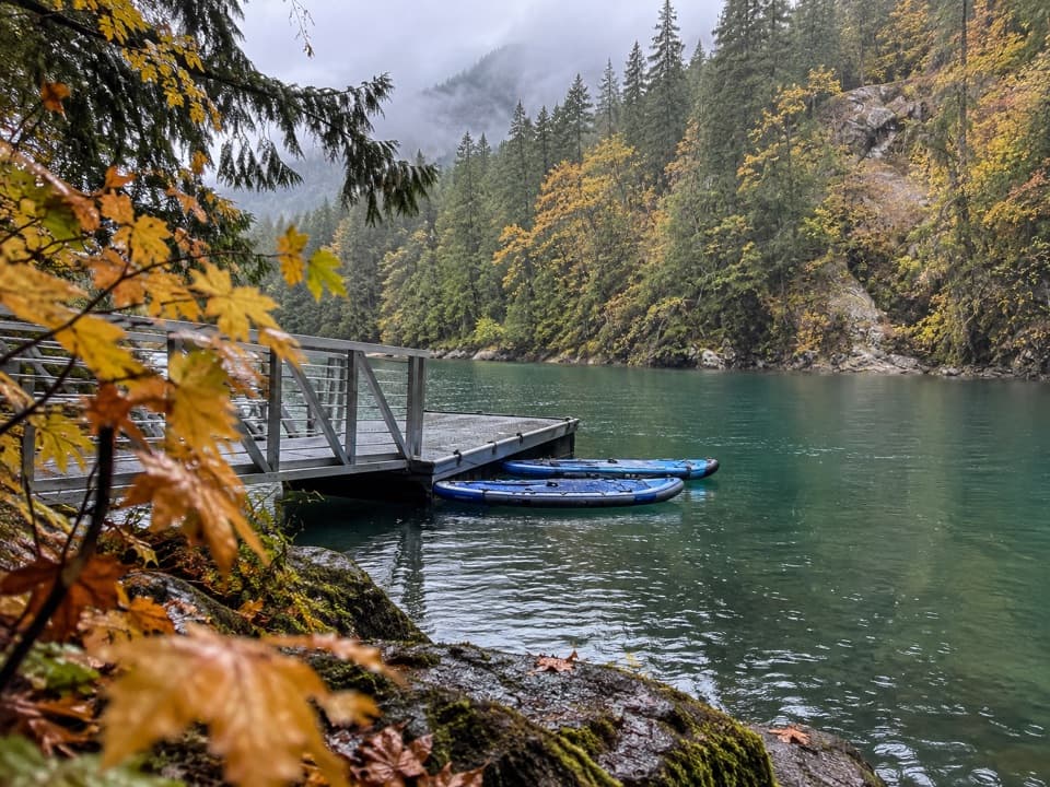 Campground · 1 mi awayHidden Cove CampA single-site camp with a sheltered dock, reached only by boat.
 Campground · 1.1 mi awayThunder Point CampA quiet three-site boat-in camp on Diablo Lake.
 Sight · 1.2 mi awayDiablo Lake OverlookA quick roadside view of glacial turquoise beneath the Cascades.
 Campground · 1.5 mi awayGorge Lake CampgroundEight simple sites, a lakeside launch, and a night by the water.
 Sight · 1.7 mi awaySourdough Mountain LookoutA historic fire lookout crowns a demanding climb above Diablo Lake.
Parkwolf’s North Cascades ranking

The audio tour guide for the drive, plus offline maps, trails, and wildlife heatmaps for when the signal drops.



