Parking
Park at the Happy Creek Trailhead on the south side of State Route 20 at milepost 134.3, just east of Ross Dam Trailhead. An accessible vault/composting toilet is listed at the trailhead.
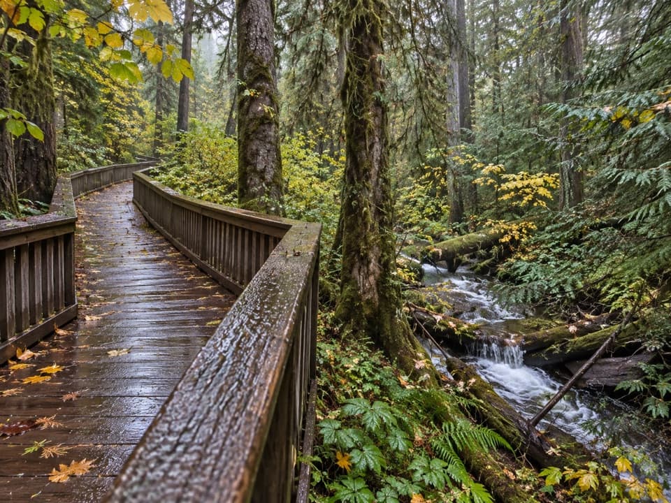
North Cascades National Park, WA
A short boardwalk loop beside Happy Creek and old-growth trees.
Overview
Map & elevation
Plan your hike

The highest, rockiest slopes around here are a summer buffet for grizzly bears.
North Cascades Tour Guide
Parkwolf is a GPS audio tour guide for North Cascades National Park. As you drive, it chimes in with what’s ahead: hidden gems, upcoming stops, history, geology, and wildlife, right through your car’s speakers.
See the North Cascades audio tourRecorded for this trailhead
Happy Creek: Short Forest Loop or Falls Hike“Happy Creek Forest Walk is coming up, a good choice for a short break among old-growth trees. Allow fifteen to twenty minutes for the gentle, wheelchair-accessible loop, mostly on boardwalk beside the creek.”
Plays as you drive up to this trailhead in the Parkwolf North Cascades Tour Guide.
More stories near here in the app
“Fantastic app with many points of information… It’s great to just turn on while you’re driving and it gives you an audio tour of the national Park. We love it!!!!”


Trail guide
Happy Creek Forest Walk is a 0.3-mile loop from the Happy Creek Trailhead on the south side of State Route 20. It winds through old-growth forest on mostly boardwalk, with a short gravel section. This is a good quick break from the highway if you want an easy, accessible forest walk; allow 15 to 20 minutes with a pause by the creek. It is too short to count as a substantial hike.
The boardwalk follows the southern half of the loop beside Happy Creek; the return has more gravel. The grade is shallow, and the whole loop is described as accessible. The wooden boards can be slick when wet, snowy, or icy. Leashed pets are allowed in Ross Lake National Recreation Area, with a leash no longer than six feet.
A much longer and steeper spur to Happy Creek Falls starts from the same access. It is a different walk, not an extension of this 0.3-mile loop. Published distances for the falls route differ, so check that route separately if you want to continue uphill.
Wildlife
 101 sightingsMountain GoatMost seen around 6 PMSighting map
 70 sightingsBlack BearMost seen around 8 PMSighting map
 20 sightingsMule DeerMost seen around 7 PMSighting map
 77 sightingsSooty GrouseMost seen around 6 AMSighting map
 23 sightingsWhite-tailed PtarmiganMost seen around 6 PMSighting map
 75 sightingsWestern ToadMost seen around 8 PMSighting map
Sighting maps show where each species has been reported across North Cascades. Wildlife moves, so no sighting is guaranteed.
Keep exploring
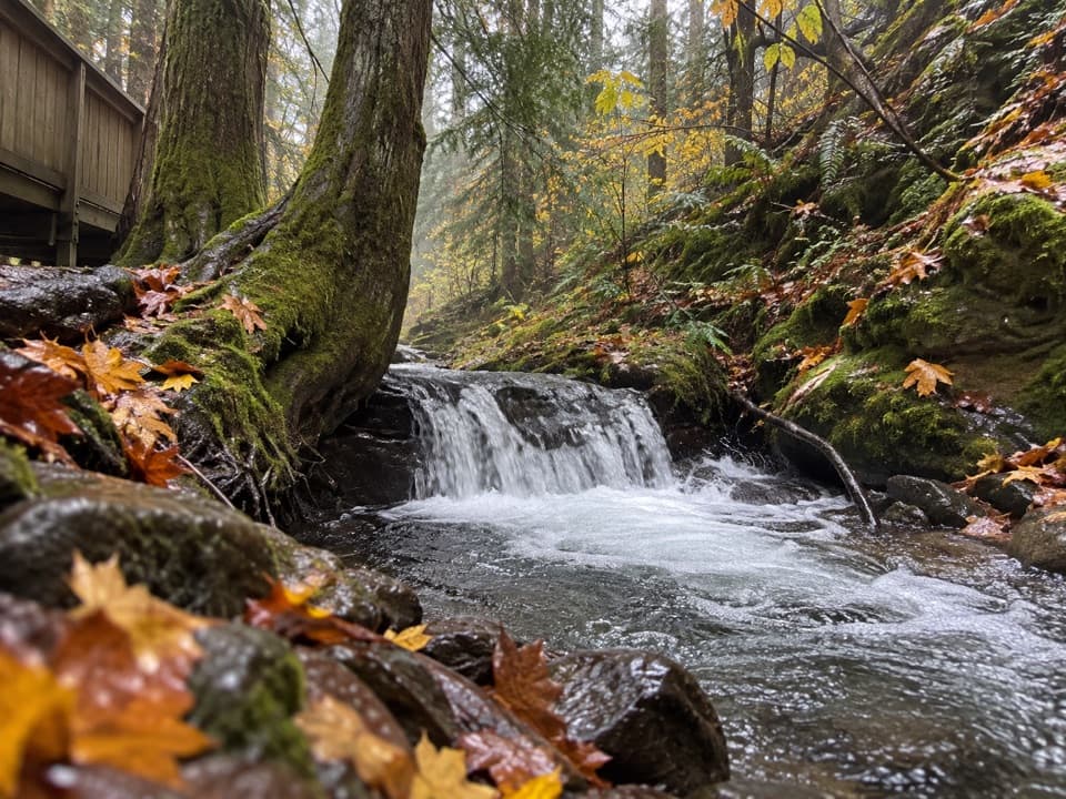 ModerateHappy Creek Falls Trail2.6 mi · 2.5 hr · At the trailheadOld sawmill relics and stepped falls reward a steep creekside climb.
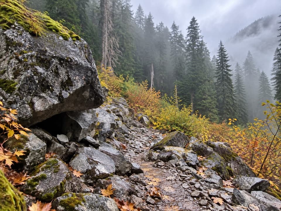 ChallengingBig Beaver Trail24.6 mi · 18 hr · 0.3 mi awayA long valley traverse past ancient cedars and beaver marshes.
 ModerateRoss Dam Trail2.5 mi · 2 hr · 0.3 mi awayWalk through forest to Ross Dam, then climb back to SR 20.
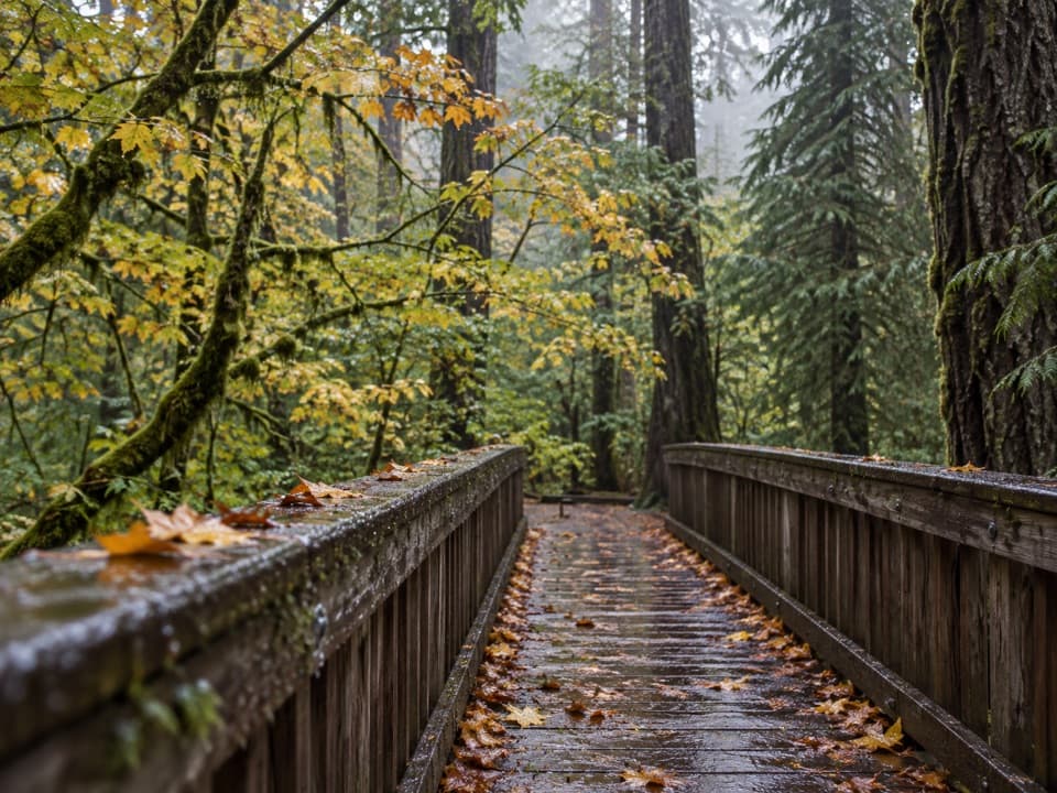 EasyDeer Creek Loop0.3 mi · 15 min · 2.8 mi awayA quarter-mile loop winds beside Deer Creek Shelter.
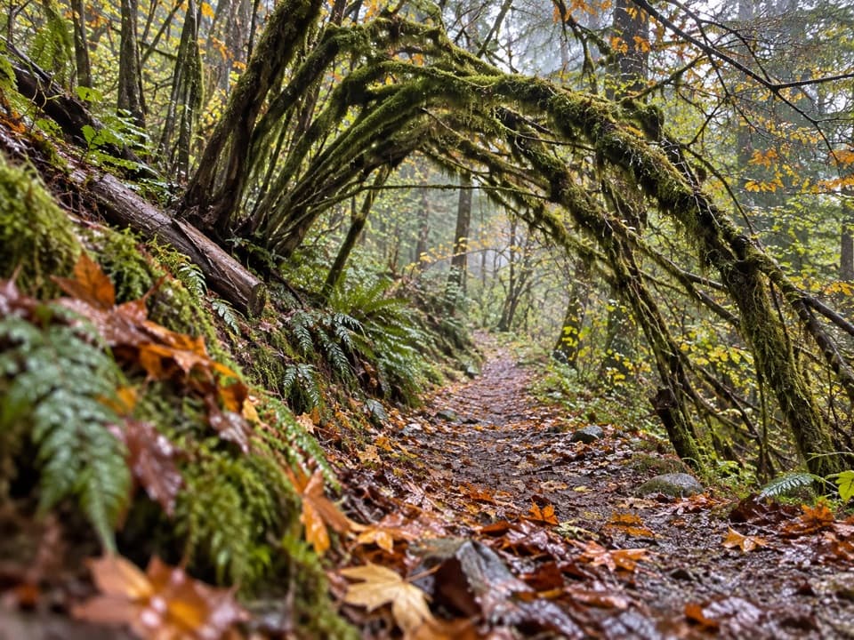 ModerateSourdough Creek Trail3.5 mi · 2.8 hr · 2.9 mi awayA forest path to Sourdough Creek Falls, with a rocky finish.
 ModerateDiablo Lake Trail7.6 mi · 4.5 hr · 3 mi awayA long forest climb earns a high bridge over Diablo Lake
 ModerateThunder Knob Trail3.8 mi · 2.5 hr · 3.3 mi awayTake the steady climb for broad views over turquoise Diablo Lake.
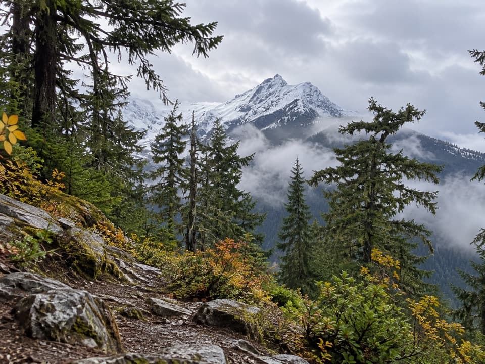 ChallengingFourth of July Pass via Thunder Creek10.4 mi · 7 hr · 3.4 mi awayA shady creek walk gives way to steep climbing and glacier views.
 Sight · 0.6 mi awayRoss Lake OverlookA quick Ross Lake view from a wooded Highway 20 pullout.
 Sight · 0.6 mi awayRoss DamWalk a concrete dam between Ross Lake and the Skagit gorge.
 Campground · 0.8 mi awayGreen Point CampA small boat-in camp for a quiet Ross Lake night.
 Lodging · 0.8 mi awayRoss Lake ResortA floating Ross Lake resort reached by boat or a mile-long hike.
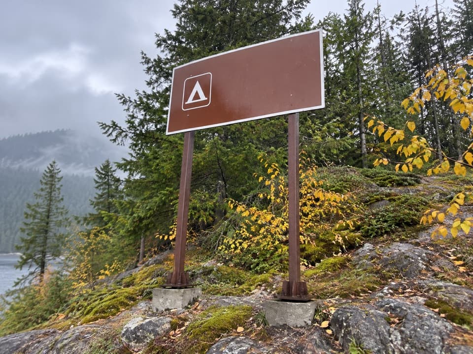 Campground · 2.1 mi awayCougar Island CampTwo island campsites for a self-sufficient night on Ross Lake.
 Campground · 2.1 mi awayBuster Brown CampA lake camp reached by water, with its own boat dock.
 Sight · 2.3 mi awayDiablo Lake OverlookA quick roadside view of glacial turquoise beneath the Cascades.
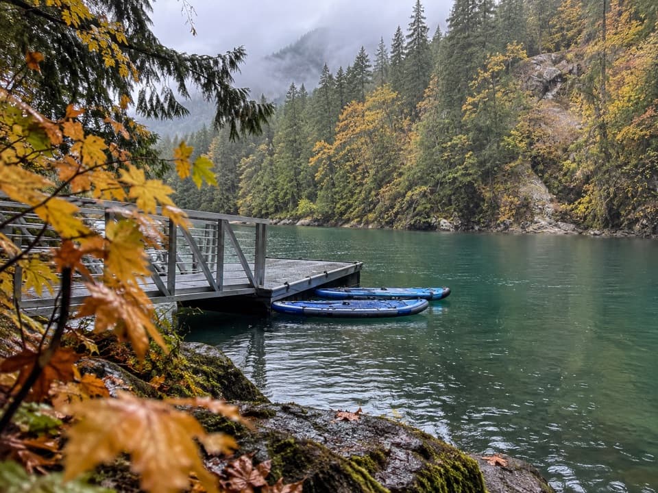 Campground · 2.4 mi awayHidden Cove CampA single-site camp with a sheltered dock, reached only by boat.
Parkwolf’s North Cascades ranking

The audio tour guide for the drive, plus offline maps, trails, and wildlife heatmaps for when the signal drops.



