
Place · 0.3 mi away
Moderate
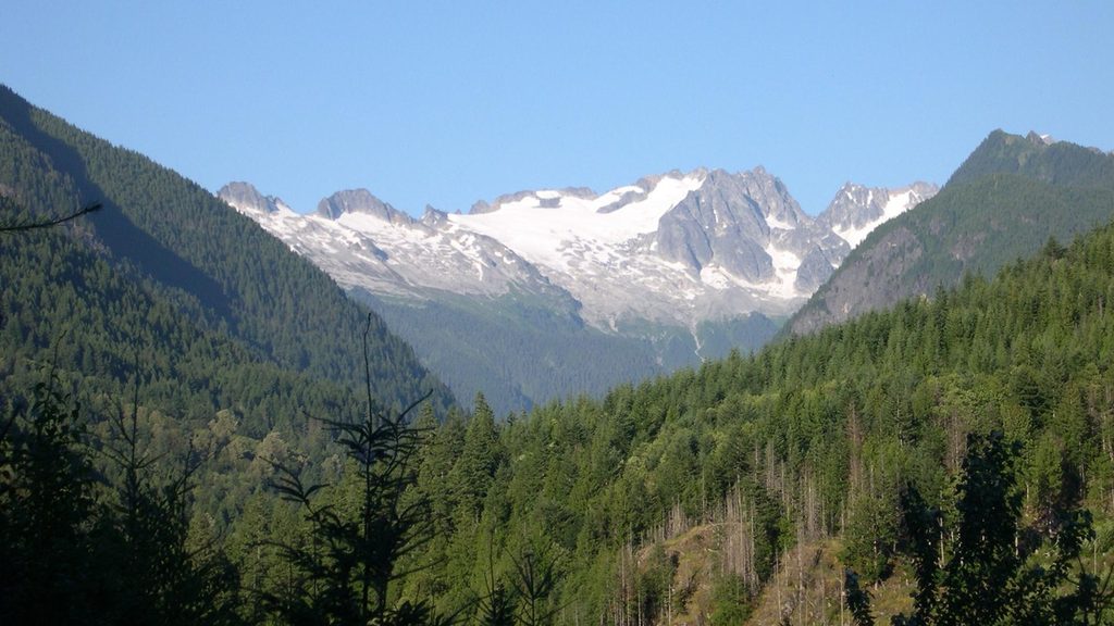
This is a quick hit with a payoff: a 1.5-mile total out-and-back that drops from State Route 20 to the rim of Ross Lake and the top of Ross Dam. Expect roughly 500 feet of elevation change—most of it you’ll feel on the way back up. It’s rated moderate, but the steady climb on the return can surprise casual hikers.
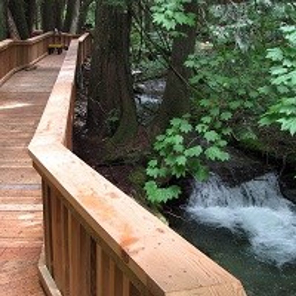
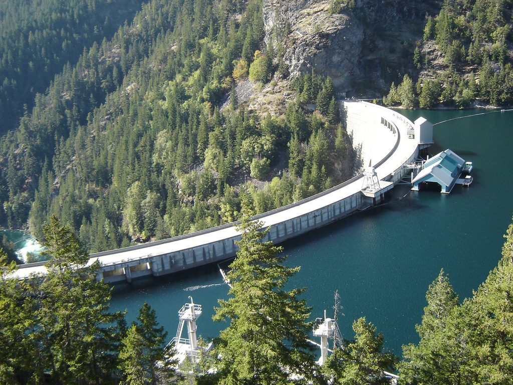
The path descends through forest, crosses Happy Creek on a bridge, and pops out to broad views of Ross Lake and the massive concrete face of Ross Dam—part of the Skagit River Hydroelectric Project. On clear days from the overlook area, some hikers note sightlines to Colonial Creek Falls across the valley. You’ll also pass a small waterfall along the way and get those classic teal-water lake vistas.
The tread is uneven singletrack with rocks and roots and a sustained grade; not stroller-friendly. Portions beyond the dam can narrow with steep drop-offs—watch your footing if you continue. Plan on about 45–60 minutes round trip if you’re just visiting the dam and returning.
June through August typically offer the clearest path and best views. Shoulder seasons can bring snow or ice, and SR 20 near here can close in winter—always check conditions before you go. Early starts help with limited parking and softer light over the lake.
From the dam, hikers commonly continue into the Ross Lake network, including access to the Big Beaver Trail for longer day hikes or backpacks. Some visitors coordinate water taxi pickups along the lake for one-way itineraries. If you’re camping along Ross Lake, expect to secure reservations/permits in advance. All natural water must be treated before drinking.
Leashed dogs are allowed here within Ross Lake National Recreation Area, but pet rules tighten quickly in the broader National Park Complex—mind boundary signs. Wind can rip across the dam deck; layers help. Trekking poles make the climb back to the highway easier.
Trailhead is at milepost 134 on State Route 20 with a small, often-full pullout. Start early or have a backup plan.
Small pullout at milepost 134 on State Route 20; limited spaces and often full—arrive early.
Steep, sustained climb on return; uneven tread with rocks/roots. Sections beyond the dam can be narrow with steep drop-offs. Strong winds possible on the dam. SR 20 may close in winter; check conditions. Treat all water before drinking.
Place · 0.3 mi away
Place · 0.4 mi away
Place · 0.8 mi away

Place · 1 mi away
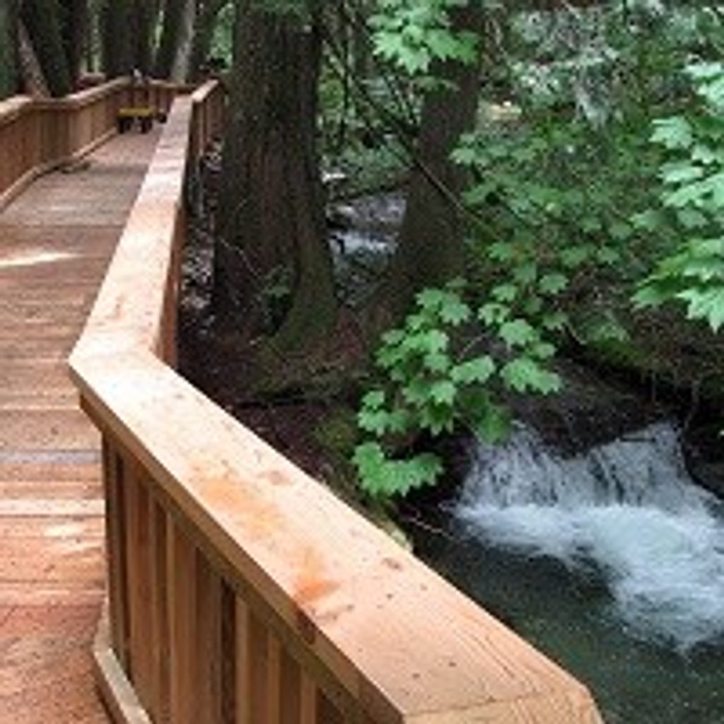
Easy · 0.3 mi away
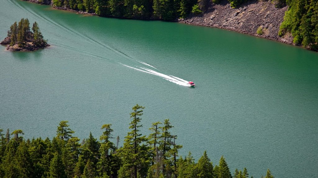
Moderate · 2.7 mi away
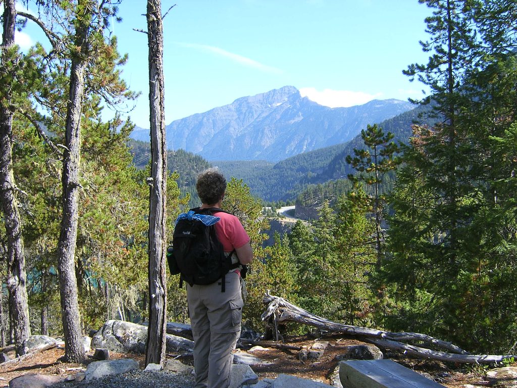
Easy · 3 mi away
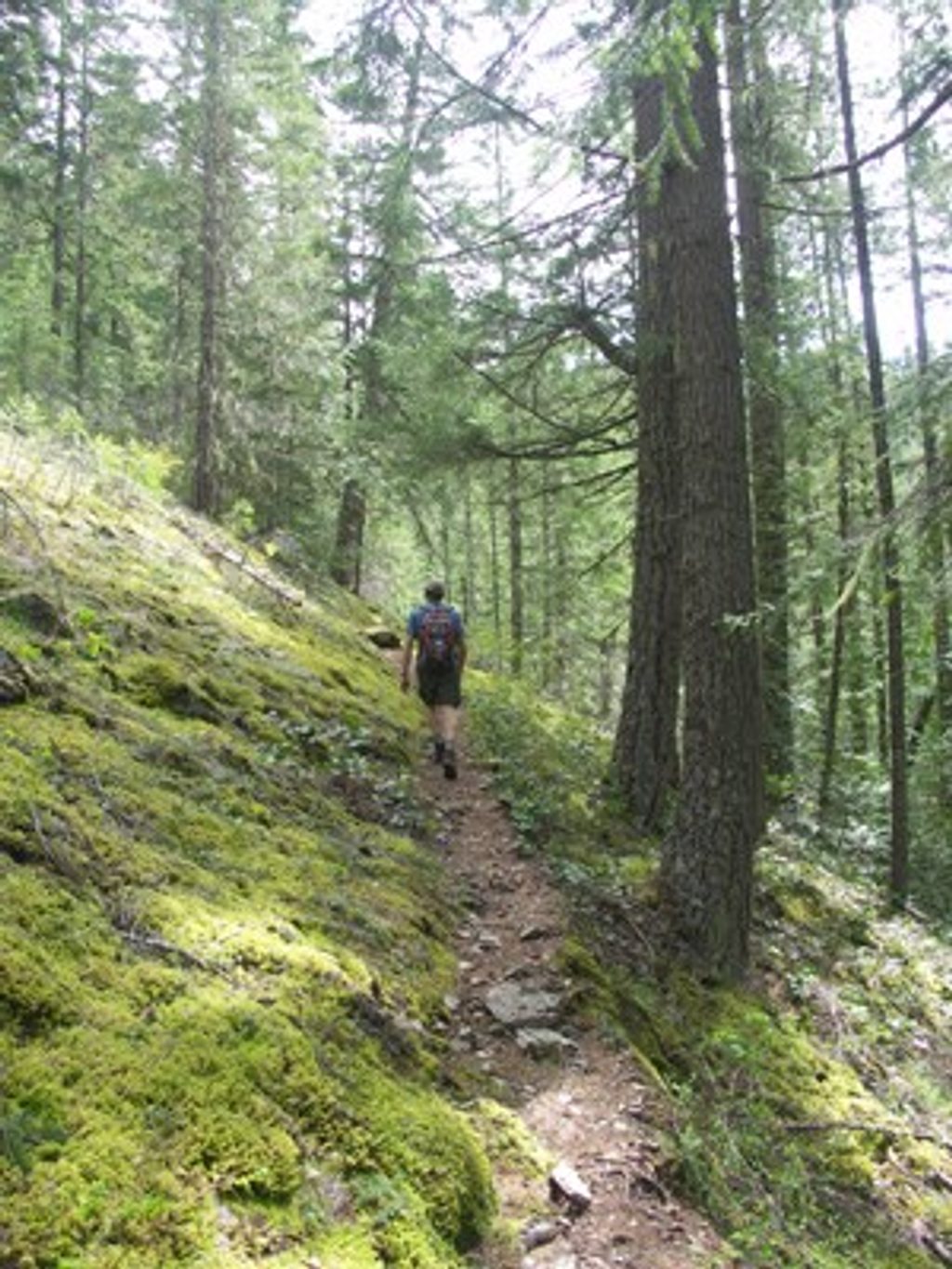
Challenging · 3.3 mi away

Parkwolf Tour Guide
