Pros & cons
PROS
- Knowledgeable rangers for trip planning across park and forest
- Buy maps, guidebooks, and passes in one stop
CONS
- Backcountry permits are issued in Marblemount, not here
- Hours vary seasonally and can be limited; confirm before you go
Overview
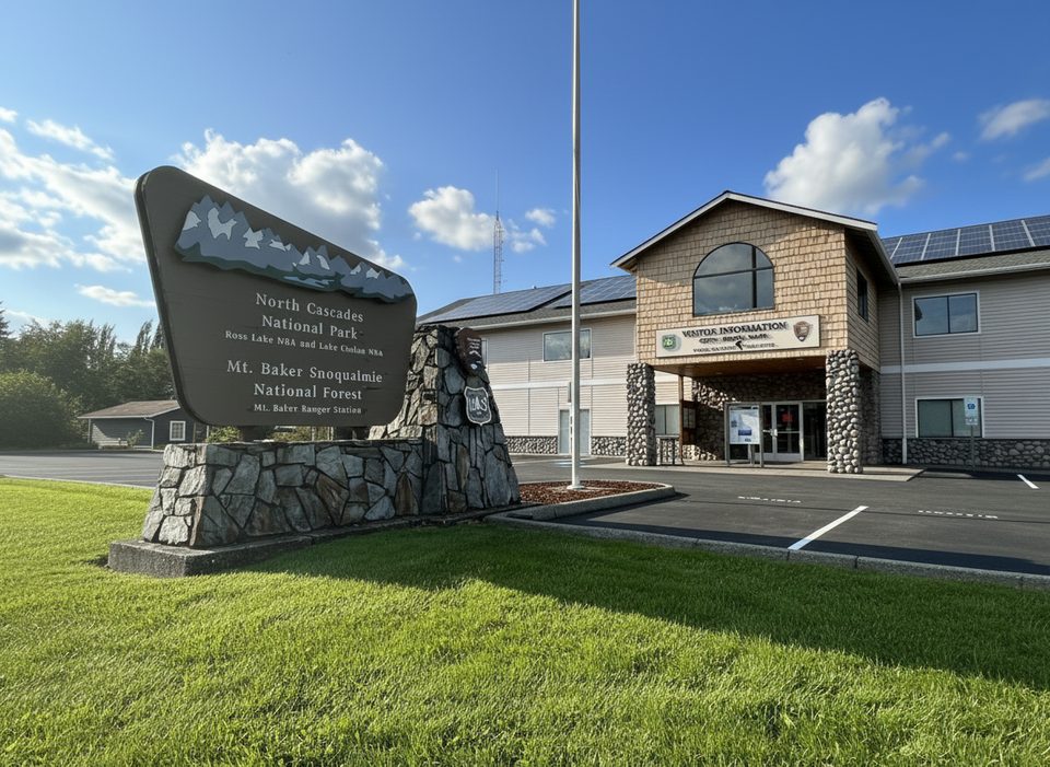
This is the first, easiest stop off SR 20 for North Cascades trip planning. Located about 5 miles east of I‑5 in Sedro‑Woolley, it serves both North Cascades National Park and Mt. Baker–Snoqualmie National Forest. If you’re coming up from Seattle, swing in here to get your bearings before committing to the highway.
What You’ll Find
- An information desk staffed by helpful rangers who can talk you through road status, trail conditions, and where to go for your style of trip.
- A large relief map of the park and adjacent national forests—great for visualizing routes and drive times.
- A sales area with books, detailed maps, videos, and souvenirs; you can also purchase relevant passes here.
- Clean indoor restrooms. Families often stop to pick up Junior Ranger materials.
Permits and Passes
Backcountry permits are not issued here. For wilderness permits, go to the Wilderness Information Center in Marblemount. Use Sedro‑Woolley to plan, get maps, and buy passes; do your permit pickup in Marblemount if you’re backpacking.
How It Fits With Other Centers
Already deep on SR 20? The Newhalem Visitor Center (farther east) has more extensive exhibits and short interpretive trails. Approaching from the Mt. Baker side on Hwy 542? The Glacier Public Service Center may be more convenient. Sedro‑Woolley is best as the quick, front‑country planning hub near I‑5.
Best Time to Visit
Hours vary by season and may be limited to specific weekdays. Build a quick stop here at the start of your drive and call ahead on your travel day to confirm current hours. If you’re chasing sunrise or starting early, plan to stop when they open, grab maps and passes, and keep rolling.
Quick Take
Use this as your launch pad: get current conditions from real humans, study the relief map, buy the right map/pass, then head up SR 20 with a solid plan.
Where it is
48.5109, -122.2276Tips for Park and Forest Information Center (Sedro-Woolley)
- 01Call ahead to confirm current hours; they change seasonally.
- 02Use this stop to buy maps and passes before committing to SR 20.
- 03Backpacking? Get your wilderness permit in Marblemount, not here.
- 04Ask rangers for up-to-the-minute road and trail conditions.
Amenities
Near Park and Forest Information Center (Sedro-Woolley)
All places →All trails →
33 mi awayShannon Ridge TrailUnderrated ridge to Shuksan views with a steep, brushy middleChallenging · 7 mi · 5 hr
34.9 mi awayBaker River TrailOld-growth river ramble to a wild creek confluence—bring bug sprayModerate · 5.2 mi · 2 hr
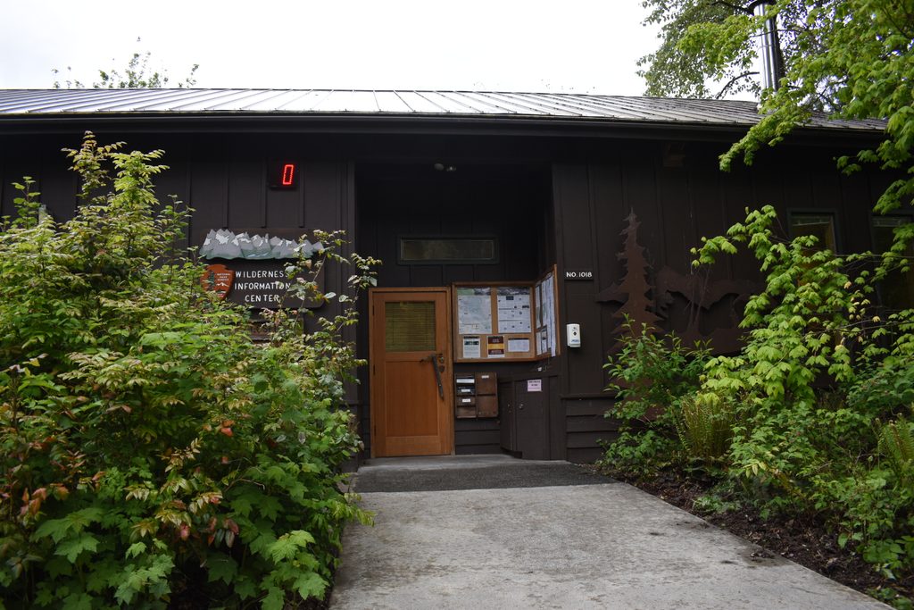
35.7 mi awayWilderness Information Center (Marblemount)Backcountry permit nerve center with maps, exhibits, and savvy rangersVisitor Center · Exhibit
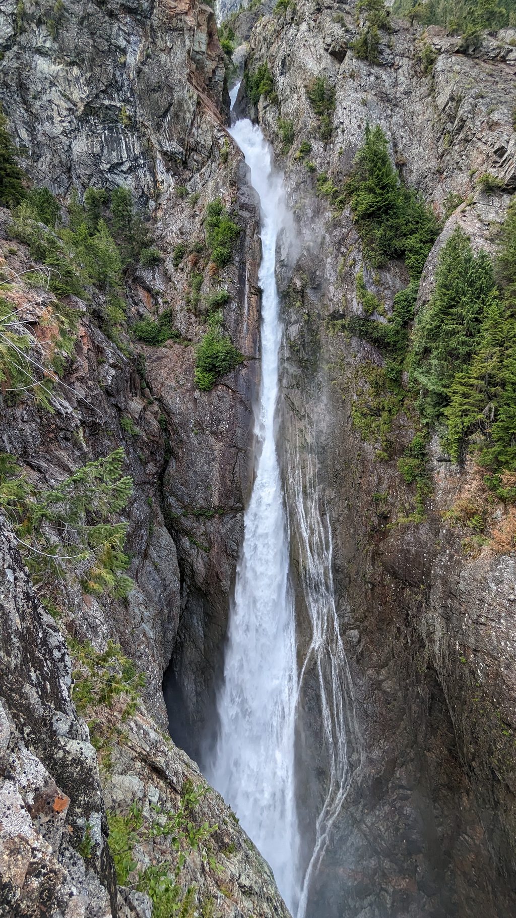
35.8 mi awaySulphide Creek FallsEnormous yet elusive falls hidden in a steep, brushy canyon
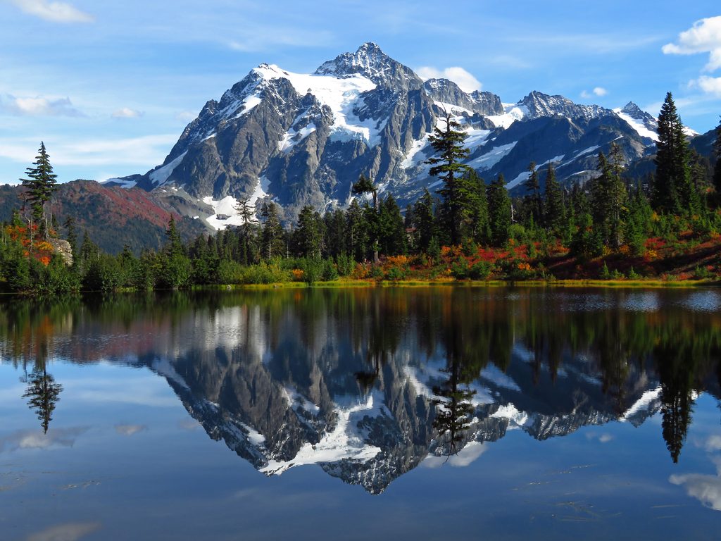
36.1 mi awayMount ShuksanIconic Cascades peak with classic glacier-to-rock summitsTrailhead · Parking
40 mi awayCopper Ridge LoopBig views, bigger effort: ridges, lakes, and a hand pull cable carChallenging · 34 mi · 72 hr
40 mi awayHannegan Pass TrailAlpine meadows, big views, and a steep bonus climb to the peakChallenging · 14.7 mi · 8.8 hr
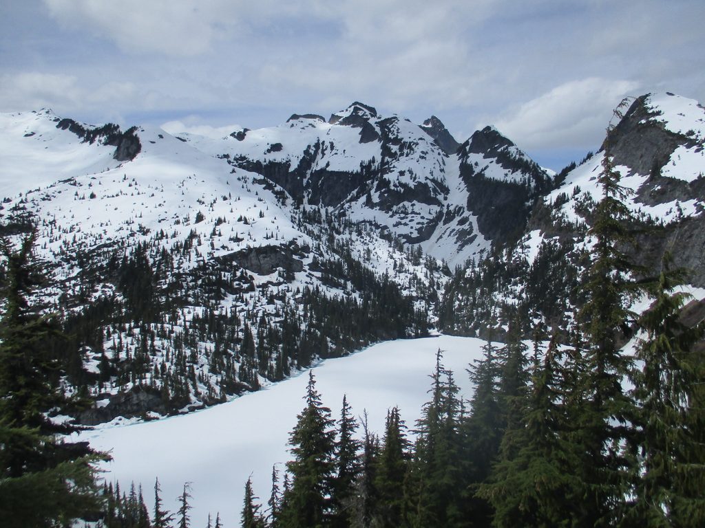
42.8 mi awayThornton LakesJagged-peak views and icy-blue cirque lakes via a tough climbTrailhead · Parking