
Place
Challenging
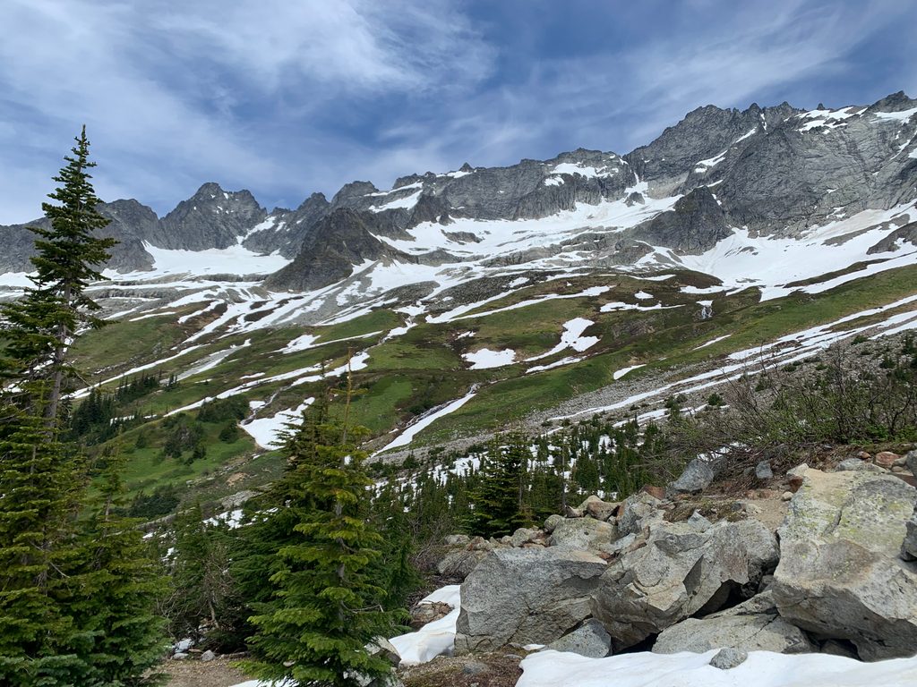
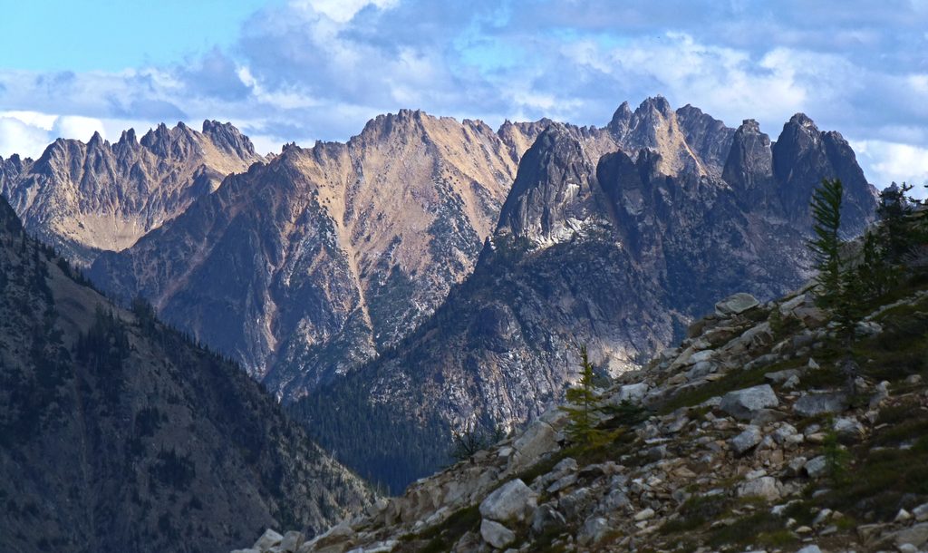
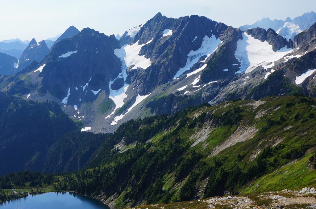
This is a steep, unmaintained climbers’ approach that rockets from dense forest to the open alpine of Boston Basin. It’s not a casual walk: think brushy traverses, blowdowns, unbridged stream crossings, a very steep gully, and occasional avalanche debris. Your payoff is big: meadows and slabs beneath serrated summits like Forbidden Peak, Mount Torment, Boston Peak, and Johannesburg.
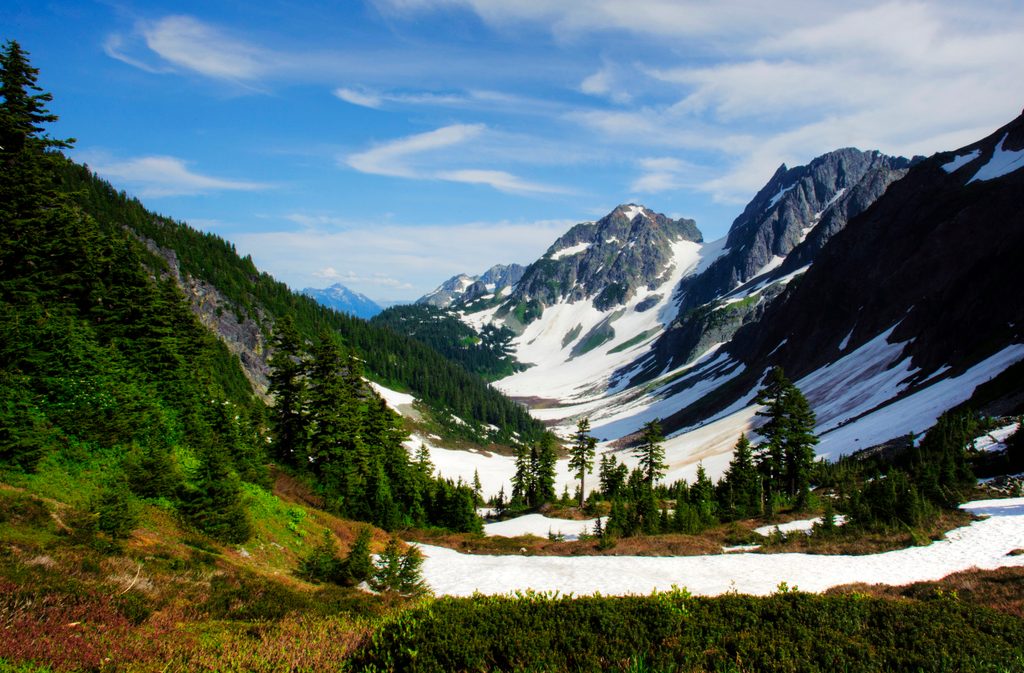
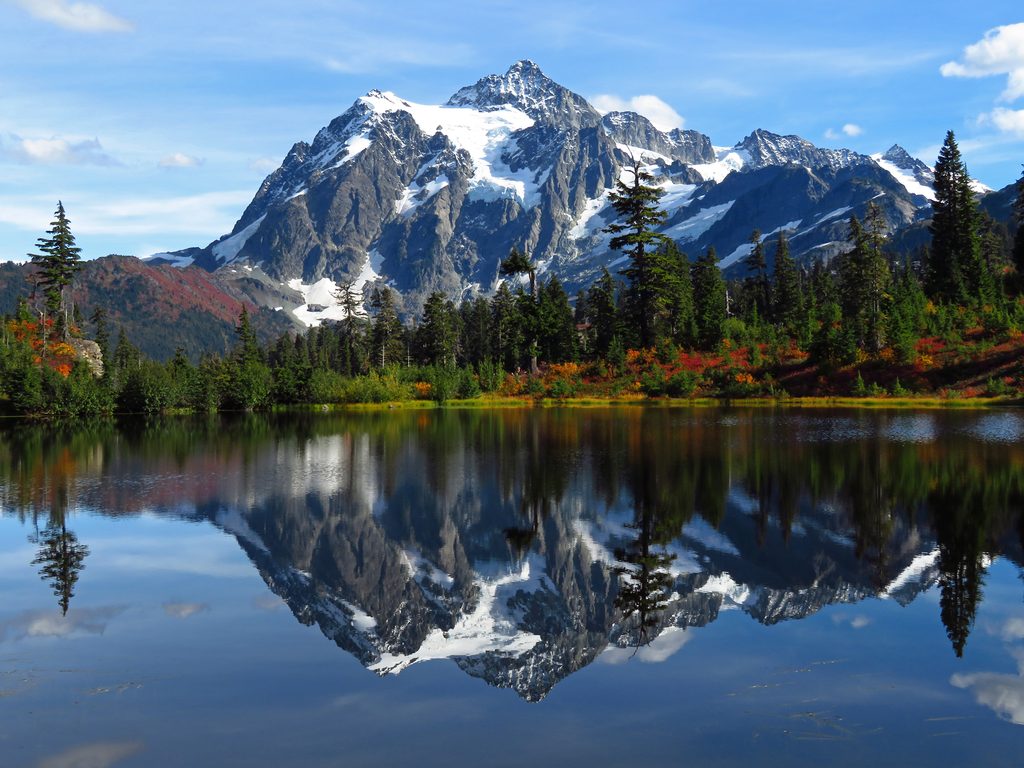
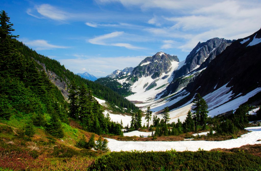
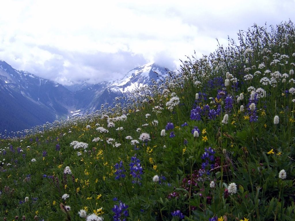
As you climb, the forest breaks into Boston Basin’s open terrain with broad views of jagged peaks, seasonal wildflowers (including purple heather), and cascades and waterfalls along the South Fork of Boston Creek. Late summer often brings colorful wildflower displays and clearer water crossings. The basin itself is classic North Cascades alpine—glacially sculpted slabs, talus, and grassy ribs with dramatic headwall views.
This route is rugged and can be hard to follow in places. Expect brush (salmonberry and alder), deadfall, and several creek crossings that can mean wet feet. Around ~3,750 feet there’s a notably steep, eroded gully that feels “straight up” for a couple hundred vertical feet and is trickier on descent. You may negotiate avalanche tracks with timber and debris. Early in the season, lingering snow patches and snowfields feeding Soldier Boy and other creeks add complexity.
Aim for summer into early fall for the most straightforward, mostly snow-free conditions and more manageable crossings. Weekdays offer better chances for relative solitude (you’ll see more climbers than hikers). Morning starts keep you cooler on the steep climb and improve photography with side light on the peaks. Note that the access road can occasionally be gated for road work, adding road-walk miles—plan extra time if that’s in play.
Day hiking does not require a permit. Backcountry permits are required to camp in the Boston Basin zone, with designated low and high camps that are in high demand during peak season. Park rangers do check permits. Approved bear-resistant canisters are required for camping below the vegetation line in Boston Basin from June 1 to November 15. Pets are not allowed on trails in this park.
If you’re an experienced, fit hiker or climber comfortable with route-finding, steep dirt and roots, brush, and wet crossings, this approach is deeply rewarding and less trafficked than many maintained hikes. If you prefer well-graded, maintained trails, consider other marquee options and enjoy Boston Basin via photos instead.
The broader Skagit/Cascade River region saw waves of exploration and mining booms in the late 1800s, which helped push routes into these valleys. Today, Boston Basin is prized primarily for its mountaineering access and alpine scenery rather than mining heritage.
Trailhead along Cascade River Road; park at the Boston Basin trailhead pullout near approximately 48.5021, -121.0676. The road may be gated for work at times, adding road-walk miles.
Unmaintained climbers’ path with brush, blowdowns, avalanche debris, steep eroded gully around ~3,750 ft, and unbridged creek crossings; lingering snow early season; occasional road gate can add mileage.
Place
Place
Place
Place
Challenging
Challenging
Moderate
Challenging

Parkwolf Tour Guide
