Moderate

Cascade Pass Trail

The shortest hop into true alpine with jaw-dropping glacier views
Cascade Pass Trail, North Cascades National Park
Distance7.2 mi
Typical time5 hr
DifficultyModerate
PetsNot allowed

Overview

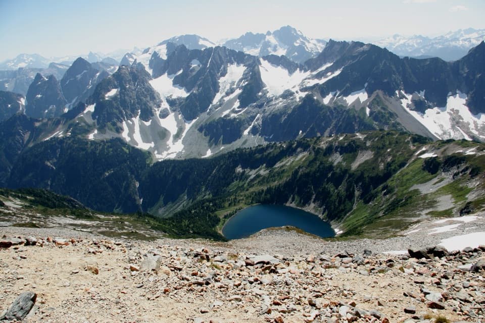
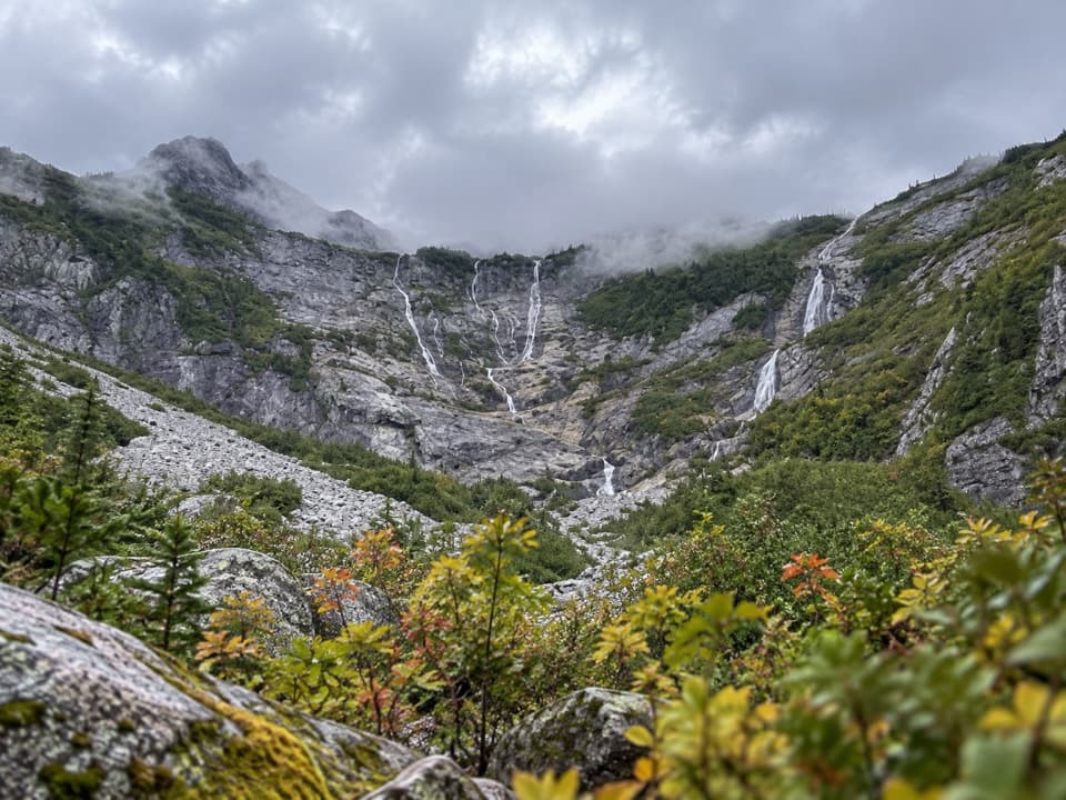
If you want big-mountain drama without a sufferfest, this is your move. The Cascade Pass Trail climbs on well-graded switchbacks through cool forest before breaking into subalpine meadows and a broad saddle with sweeping views of Eldorado, Johannesburg, Magic, Mixup, and McGregor. Expect the soundtrack of distant icefall from Johannesburg’s hanging glaciers and the murmur of waterfalls. It’s popular for a reason—and yes, crowded on summer weekends. Round trip is roughly 7.2 miles with under 1,800 feet of gain; plan 4–6 hours depending on stops. [nps.gov](https://www.nps.gov/noca/planyourvisit/cascade-pass-trail.htm) [wta.org](https://www.wta.org/go-hiking/hikes/cascade-pass)

Route Experience

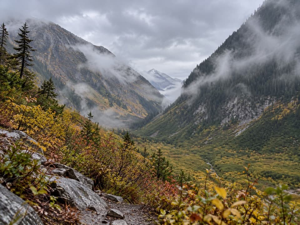
From the end of Cascade River Road, climb a series of steady, mostly shaded switchbacks that keep the grade friendly. As the forest thins, the trail traverses open slopes and meadows to the pass—a broad, breezy saddle with commanding views up and down glaciated valleys. On clear days, the skyline lineup steals the show; listen for the rumble of seracs calving off Johannesburg across the valley. [nps.gov](https://www.nps.gov/noca/planyourvisit/cascade-pass-trail.htm) [wta.org](https://www.wta.org/go-hiking/hikes/cascade-pass)

Extensions Worth Your Effort

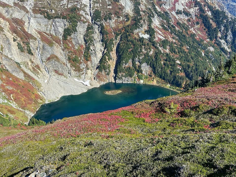
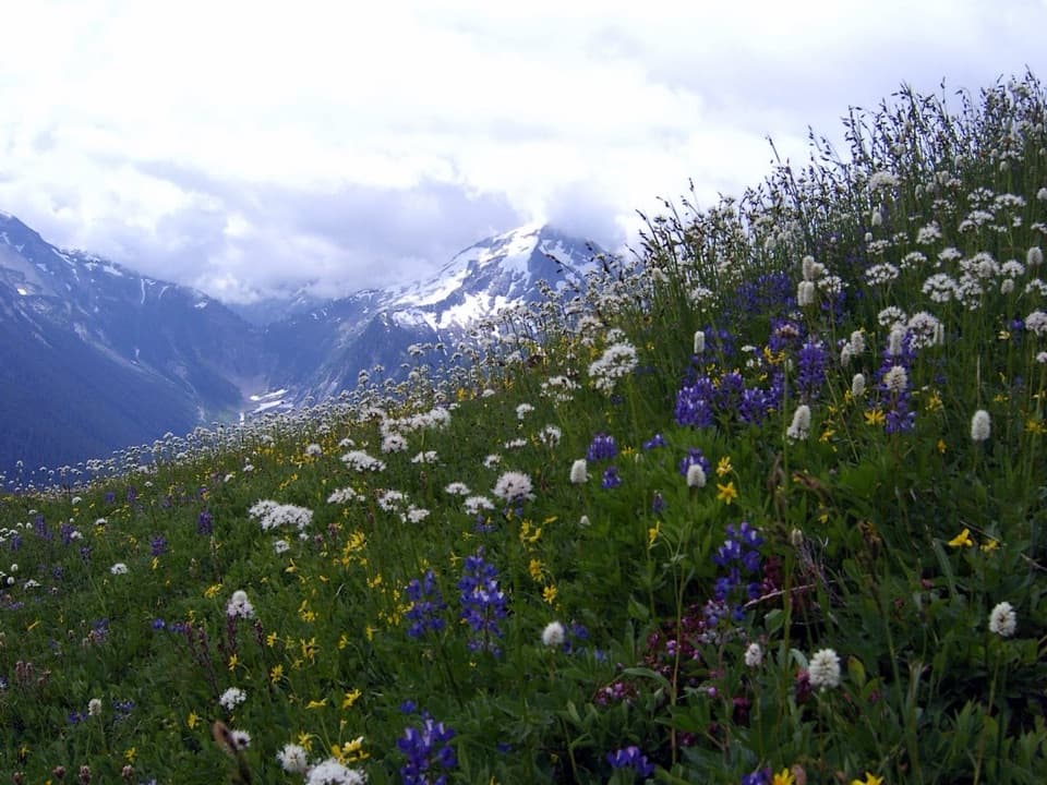
Feeling good at the pass? Continue up the Sahale Arm Trail through wildflower meadows and talus to the toe of the Sahale Glacier for even bigger views; it’s steeper and more strenuous but unforgettable. Or head east from the pass toward Pelton Basin and Horseshoe Basin—waterfalls, wildflowers, and old mining history—on a route that ultimately reaches the Stehekin Valley (23 miles from the parking lot to the shuttle at High Bridge). Overnighting anywhere up here requires a backcountry permit; no camping at the pass itself. [nps.gov](https://www.nps.gov/noca/planyourvisit/cascade-pass-trail.htm)

Wildlife, Flora, and Fragile Meadows

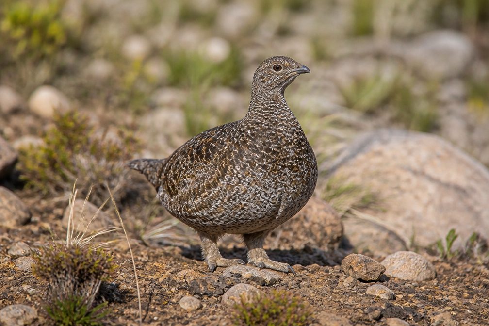
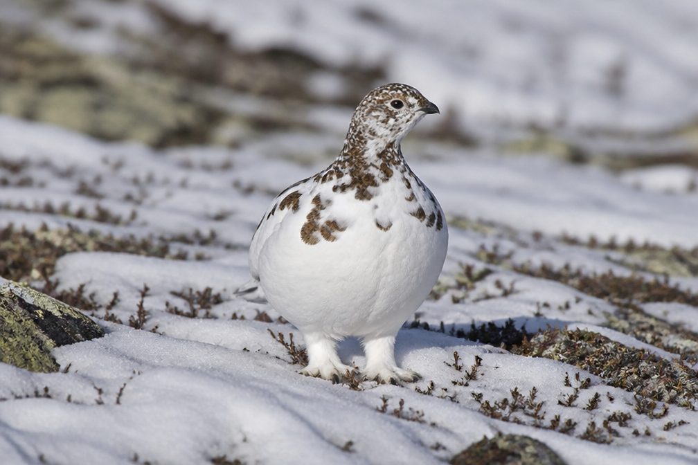
This is classic subalpine: brief summers, deep winter snow, and delicate meadows. Watch for marmots and pikas whistling from the rocks, deer browsing the edges, and the occasional black bear. Please stay on trail (or snow/rock) and skip the meadow shortcuts—this area has ongoing revegetation, with heather and yellow glacier lilies easily damaged by footsteps. Never feed wildlife. [nps.gov](https://www.nps.gov/noca/planyourvisit/cascade-pass-trail.htm)

Access and Logistics

The trailhead sits 23.1 miles up Cascade River Road from SR 20 in Marblemount. The first third is paved; the rest is gravel, narrowing with some rough stretches near the end. The road typically opens to the trailhead by late June or early July depending on snow. Parking fills very early on weekends. Vault/composting toilet available at the trailhead. [nps.gov](https://www.nps.gov/noca/planyourvisit/cascade-pass-trail.htm)

Season, Snow, and Safety

Early season can mean steep snowfields—sometimes into July—where an ice axe and the skills to use it are prudent. Rock and icefall are part of the landscape; keep your head up in talus and avoid lingering beneath snow slopes. Fires are prohibited at backcountry camps, and pets aren’t allowed on this trail. Check current conditions before you go. [nps.gov](https://www.nps.gov/noca/planyourvisit/cascade-pass-trail.htm)

A Short Pass with a Long History

People have been moving through Cascade Pass for millennia—archaeological evidence shows Indigenous camps and toolmaking here around 9,600 years ago. Alexander Ross made an early 19th-century crossing, miners followed in the late 1800s, and various road schemes fizzled out by mid-20th century. The current trail dates to the late 1960s; today, the modern highway crosses the range elsewhere, leaving Cascade Pass to hikers. [magazine.wsu.edu](https://magazine.wsu.edu/web-extra/a-cascade-pass-chronology/) [nps.gov](https://www.nps.gov/noca/planyourvisit/cascade-pass-trail.htm) [historylink.org](https://www.historylink.org/file/11044)

Best Time to Hike

Mid-July through September is the sweet spot: the road is typically open, lingering snow has melted off the traverse, wildflowers are peaking, and you’ll get those long alpine evenings. Go early in the day for easier parking and gentler light, or midweek to dodge the weekend crush. In early season, start early while snow is firm and bring appropriate traction and tools. [nps.gov](https://www.nps.gov/noca/planyourvisit/cascade-pass-trail.htm)

Pros

  • Fastest, easiest gateway to true alpine terrain in the park
  • Unique soundscape: hear ice calving from Johannesburg’s hanging glaciers

Cons

  • Parking and crowds: the park’s most popular day hike fills early
  • Early-season snow can be steep enough to warrant an ice axe

Parking

End of Cascade River Road, 23.1 miles from SR 20 at Marblemount; first third paved then gravel. Large but busy lot with a vault/composting toilet—arrive early, especially on summer weekends.

Caution

Snow lingers into July with potentially steep crossings; stay on trail to protect fragile meadows; no pets; no fires at backcountry camps; permits required for any overnight.

The Parkwolf tour guide sitting on a phone mounted in a car

Parkwolf Tour Guide

Like a tour guide in your car.

Bring North Cascades trail research into the car, with offline maps and stories that play as you drive.Download Parkwolf on the App Store