Challenging

North Fork Bridge Creek Trail

Quiet PCT spur to meadows and Mount Logan views, few people
North Fork Bridge Creek Trail, North Cascades National Park
Distance9 mi
Typical time4.2 hr
DifficultyChallenging
PetsNot allowed

Overview

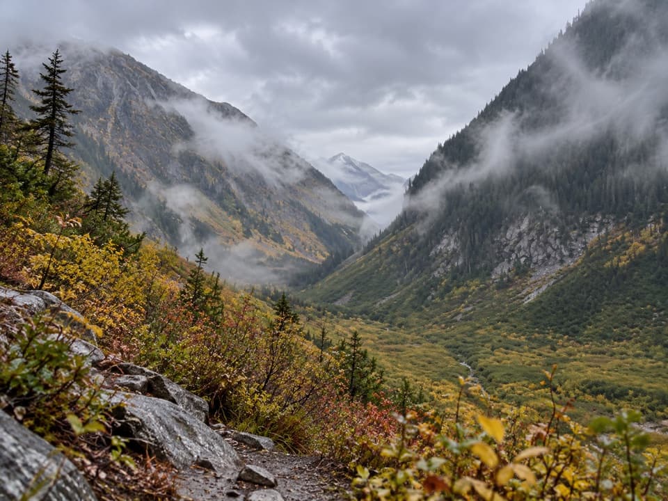
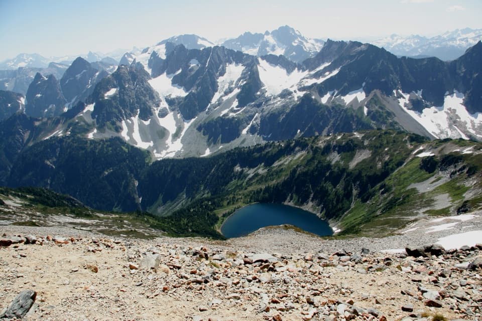
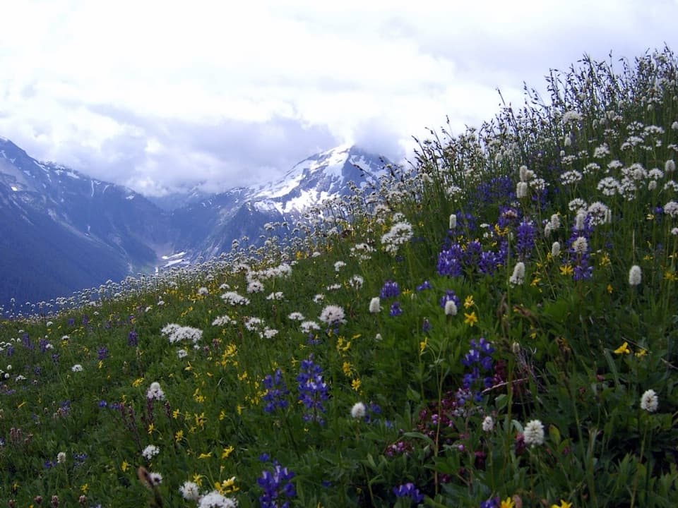
A quiet spur off the Pacific Crest Trail, the North Fork Bridge Creek Trail climbs a remote valley to broad meadows with big-mountain backdrops beneath Mount Logan and craggy peaks along the park boundary. Expect solitude, brush, and a true backcountry feel. The spur itself is about 9 miles one way from the PCT junction, with most of the climbing packed into the final couple miles. As a day hike, it’s a huge undertaking because you must first hike the PCT to the junction; as a backpack, it shines.

Route Options and Distance

You can reach the North Fork junction two ways:

  • From Highway 20 at Rainy Pass: head south on the PCT roughly 10 miles to the signed junction for Walker Park/North Fork. From there, it’s ~2 miles to Walker Park, ~4 miles to Grizzly Creek (from the junction), and about 7 miles total to the upper meadows. Many hikers target Grizzly Creek and turn around, mapping an out-and-back of roughly 28+ miles when starting from Rainy Pass.
  • From the Stehekin Valley (High Bridge): go north on the PCT about 3 miles to the same junction, then continue up the spur.

The North Fork spur itself is approximately 9 miles point-to-point from the PCT junction (about 4 hours for strong hikers, one way). Most elevation gain comes in the last two miles before the meadows.

Camps and Water

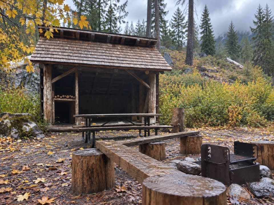
Designated sites on the spur include Walker Park (~2 miles from the junction) and Grizzly Creek (~4 miles from the junction). Grizzly Creek has abundant water and thoughtfully arranged cooking areas and tent sites; one site has bear wire, but carrying a canister is still smart. Water is plentiful near Grizzly Creek, while stretches of the PCT approach can be hot with limited sources unless you drop to camps—Maple Creek is a reliable refill.

Conditions and What to Expect

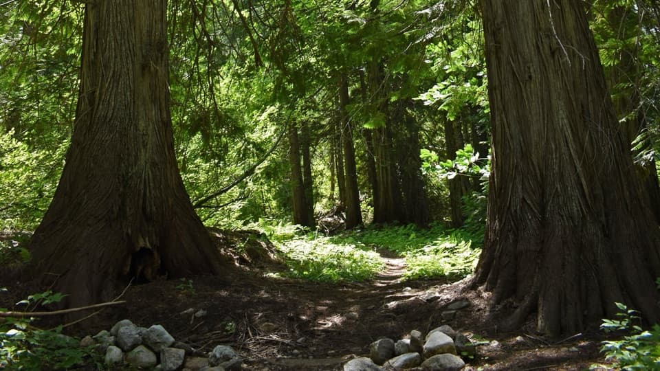
Brushy, sometimes overgrown tread makes for wet mornings and slower travel; bugs (flies and mosquitoes) can be intense mid-summer. Bear sign is common—make noise and store food properly. The Grizzly Creek crossing may be on a log slightly off the main tread; evaluate carefully. Seasonal footbridges in this corridor can be out early or late season, and high water can turn back travel.

Best Time to Hike

Late July through August is prime once trail crews typically log it out; wildflowers often peak mid-summer. June can go if melt is early, and early fall offers quieter days and cooler temps. The PCT approach has exposed, south-facing stretches that can be very hot on summer afternoons; start early for shade and better lighting in the meadows.

Tips and Comparisons

  • If you want alpine views with less brush, consider a day on Goode Ridge for its superb vistas, then use North Fork Bridge Creek for a backpacking overnight.
  • Build days around the designated camps: Rainy Pass → Walker Park or Grizzly Creek makes a solid first day; dayhike to the upper meadows and return to camp the next.
  • This is a great choice if you crave quiet valleys and mellow creek-side walking leading to big scenery—but it’s a commitment due to the approach and brush.

Pros

  • Two designated backcountry camps (Walker Park, Grizzly Creek) with reliable water and good layouts
  • Big, quiet meadows with Mount Logan and park-boundary peak views after a serene valley approach
  • Flexible access from either Rainy Pass or Stehekin’s High Bridge to tailor itinerary

Cons

  • Long PCT approach makes for hefty mileage even on an overnight
  • Overgrown, brushy sections and heavy bugs can slow travel and test patience
  • Seasonal bridges and off-tread log crossings can be showstoppers at high water

Parking

From SR 20, park at Rainy Pass near milepost ~159 (Northwest Forest Pass required) and take the PCT south to the junction. From Stehekin, ride the boat up Lake Chelan and shuttle to High Bridge, then hike north on the PCT to the junction.

Caution

Expect brushy, overgrown sections, heavy mosquitoes and flies, and common bear sign. Grizzly Creek may require a log crossing slightly off the main tread. Seasonal footbridges (including Maple Creek) may be out early/late season, and high water can make crossings impassable.

The Parkwolf tour guide sitting on a phone mounted in a car

Parkwolf Tour Guide

Like a tour guide in your car.

Bring North Cascades trail research into the car, with offline maps and stories that play as you drive.Download Parkwolf on the App Store