Challenging

McAlester Lake Trail

Quiet subalpine lake-and-pass backpack with real wilderness feel
McAlester Lake Trail, North Cascades National Park
Distance15.2 mi
Typical time8 hr
DifficultyChallenging
PetsNot allowed

Overview

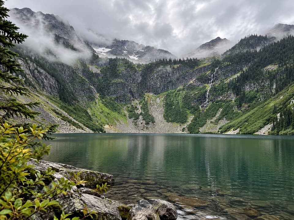
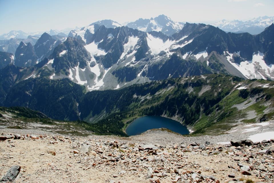
This is a classic, quieter corner of the North Cascades: forested valleys giving way to subalpine meadows and a pretty lake beneath McAlester Pass. The most common route is an out-and-back from the Bridge Creek trailhead on SR 20 to McAlester Lake: 15.2 miles total (7.6 miles one way) with roughly 2,800–3,000 feet of gain. Strong hikers can continue to McAlester Pass (about 8.5 miles one way). Expect a true wilderness vibe—fewer day hikers, more backpackers, and real route commitment.

Route Options & Mileage

  • From SR 20 (Bridge Creek/PCT): 7.6 miles to McAlester Lake, 8.5 to McAlester Pass. The approach uses the Pacific Crest/Bridge Creek corridor, then Twisp Pass Trail, then McAlester Creek Trail. Early on, there’s an unbridged crossing of the East Fork McAlester Creek that can be the crux in peak melt.
  • From Twisp River Road (South Pass Trail): about 9.6 miles to McAlester Lake and 8.7 to McAlester Pass.
  • From Stehekin (Rainbow Creek via the Rainbow Loop): about 7.9–9.7 miles to McAlester Pass with steep gain.

If you’re after a bigger objective, the Rainbow–McAlester Loop (~31 miles) links Rainbow Lake, Rainbow Creek, McAlester Pass/Lake, and back to Bridge Creek—beautiful but strenuous with significant climbs and long descents.

Terrain, Scenery, and Season

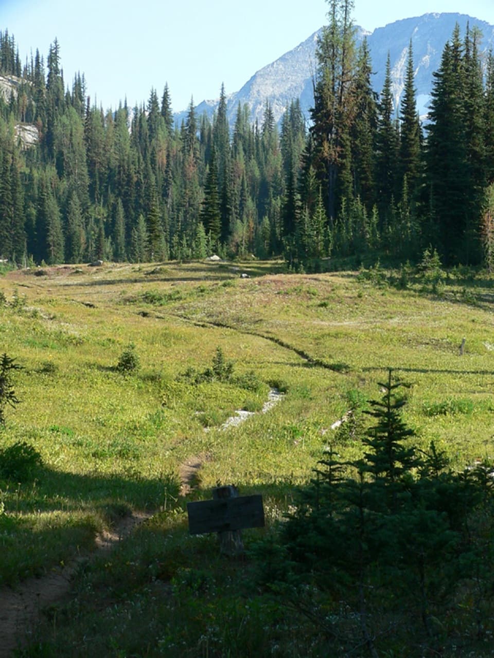
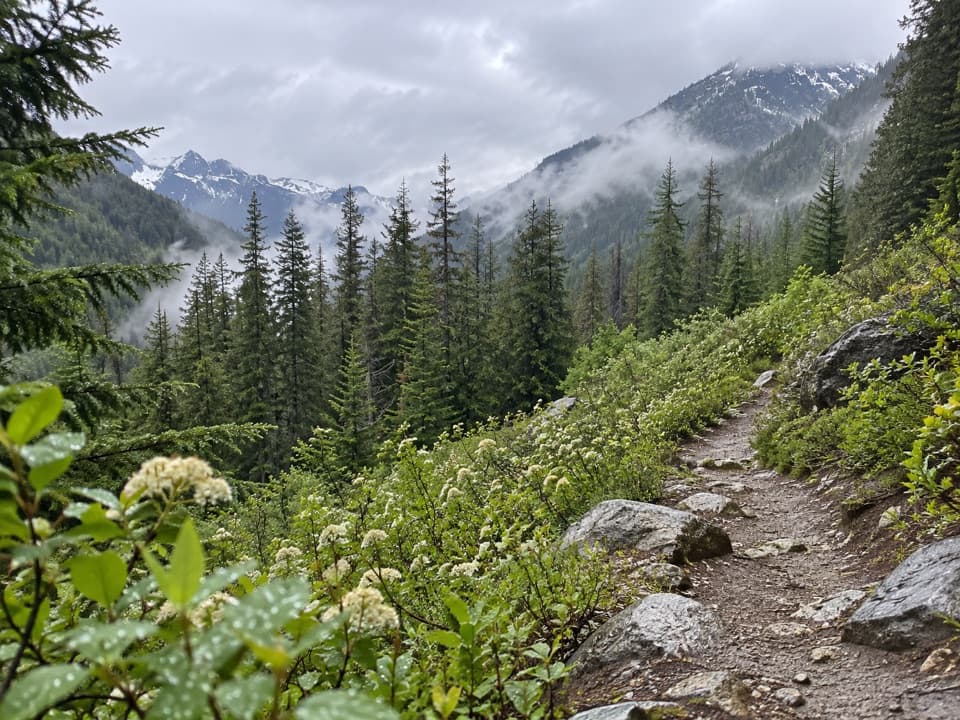
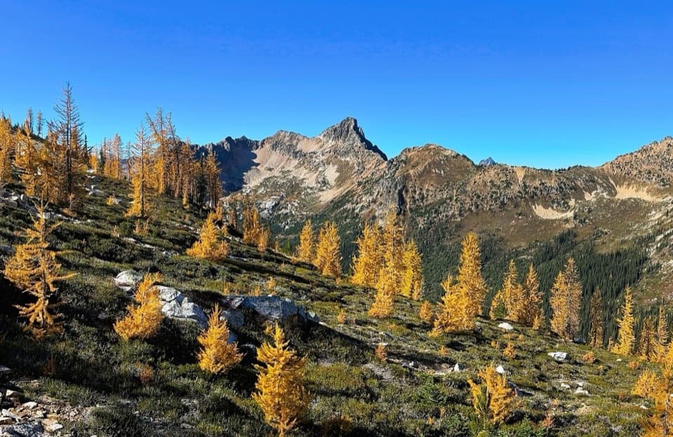
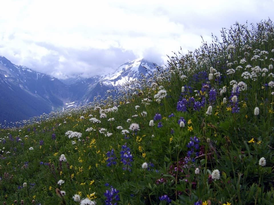
The trail trades among cool forest, berry-filled brushy sections, and open meadows with larch—an excellent fall draw as needles turn gold. Views open near the pass, while the lake offers a more sheltered, serene setting. Early season (June–early July) can be spicy: the East Fork crossing may run too high to ford safely, and lingering snow on higher passes (like the Bowan area if you’re doing the loop) can warrant traction or an ice axe. By late summer, expect cleared tread but occasional deadfall; by fall, you’ll find solitude, color, and cooler temps.

Best time to hike: late July through early October for safer creek levels and snow-free passes. For color, aim for late September to early October when larch glow and blueberry bushes turn red. Weekdays see fewer folks. Shoulder-season trips can be excellent, but check current conditions and closures before committing.

Camping, Water, and Regulations

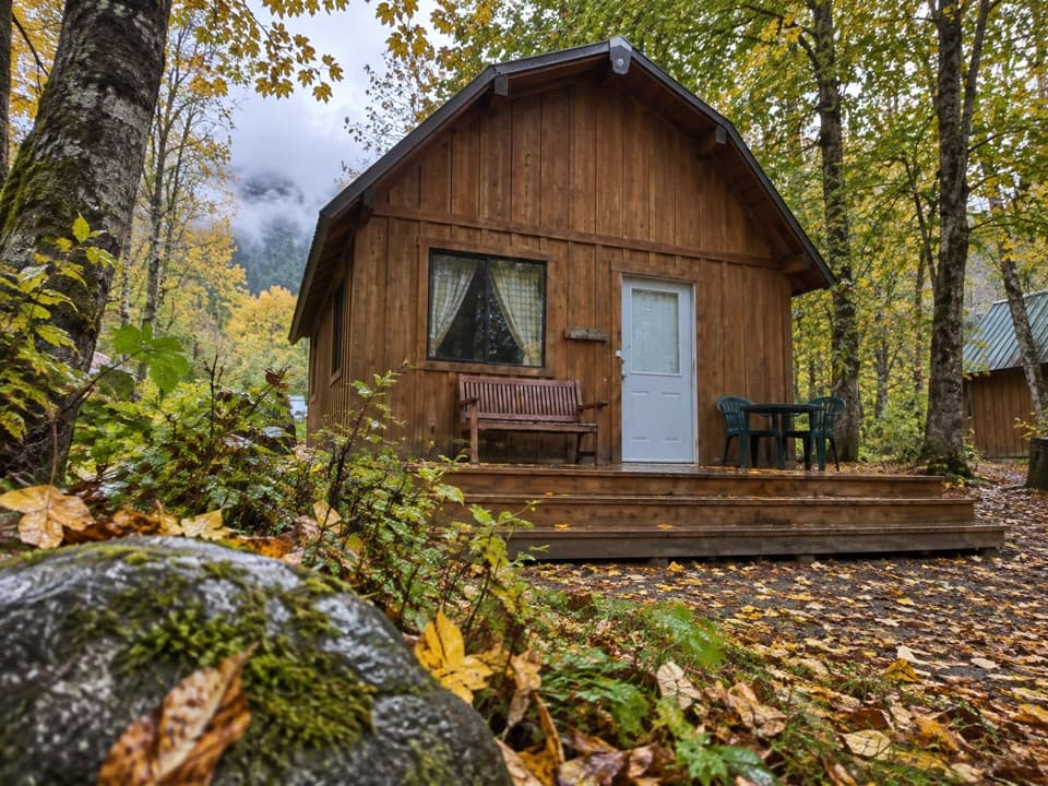
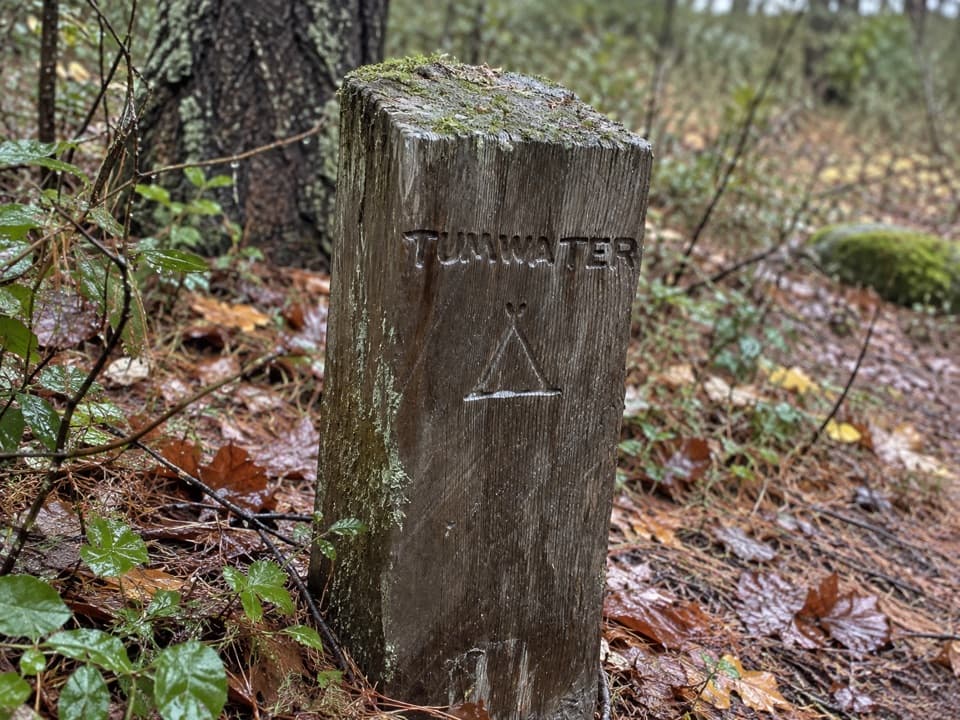
A backcountry permit is required for all overnight stays, and group size is limited (12 max in trail corridors and camps). Designated sites include Fireweed, McAlester Lake (hiker and stock camps with separate cooking/sleeping areas; fires are normally allowed in grates but may be banned seasonally), High Camp at McAlester Pass (no fires; water can be limited and may require a half-mile walk), and Hidden Meadows Stock Camp (high meadow setting with specific stock rules). Black bears are common—store food properly; some camps offer hangs, but bring a solid system.

Water is generally available along the approach, but late season can leave the meadows around High Camp dry—plan fill-ups accordingly. The lake is a reliable source; always treat water.

Access, Parking, and Practical Tips

The SR 20 access uses the Bridge Creek parking area near milepost ~159; a Northwest Forest Pass (or equivalent) is required. Cross the highway to connect with the PCT/Bridge Creek Trail. Road or lot closures happen—verify current status. Alternative approaches from Twisp River Road or Stehekin (boat access required) can save your trip if SR 20 has issues.

Tips: bring footwear and poles for the unbridged ford; carry an offline topo—junctions come fast when you’re tired. If you want views and solitude, aim for High Camp; if you want easier water and a mellow evening, the lake camp is a better bet. If early season or after heavy rain, be ready to turn around if the creek is unsafe—this one can make or break the day.

Pros

  • Multiple approach options let you tailor mileage, difficulty, and crowds
  • High Camp and Hidden Meadows deliver big subalpine scenery with real solitude

Cons

  • Unbridged East Fork crossing can shut down early-season itineraries
  • High Camp can be dry late season; nearest flowing water may be a half-mile away

Parking

Bridge Creek trailhead on SR 20 near milepost ~159; park in the north-side lot (permit required), then cross the highway to the PCT/Bridge Creek connector. Seasonal repairs or closures may affect this lot—verify before you go. Alternative access via Twisp River Road (South Pass) or Stehekin if SR 20 is closed.

Caution

Unbridged East Fork McAlester Creek ford can be impassable during peak snowmelt; snow may linger on higher passes before August; verify current closures and fire restrictions; bears active—store food properly; pets aren’t allowed on the SR 20 approach into the park.

The Parkwolf tour guide sitting on a phone mounted in a car

Parkwolf Tour Guide

Like a tour guide in your car.

Bring North Cascades trail research into the car, with offline maps and stories that play as you drive.Download Parkwolf on the App Store