
Place
Challenging
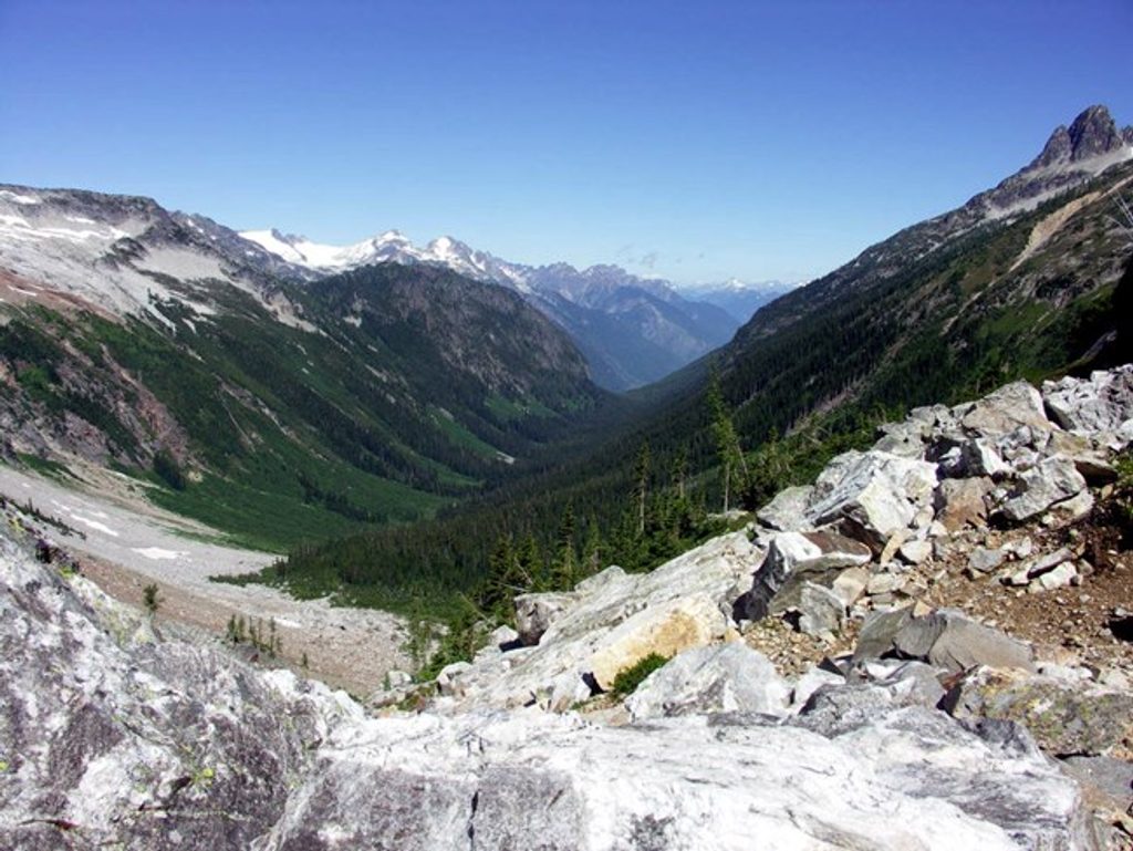
Park Creek Trail delivers a true North Cascades backcountry experience: long, quiet miles in ancient forest, a dramatic alpine pass, and a mellow descent into a wild, glacially carved valley. The most-referenced itinerary here is a 12.7-mile point-to-point from Cascade Pass to Park Creek Camp (one way), with about 1,919 feet of elevation gain and an average completion time around 6.3 hours. You can also reach the trail from the Stehekin side for a 19.2-mile out-and-back day from Stehekin Valley Road, or commit to the classic multi-day traverse via Thunder Creek and Park Creek Pass (roughly 40 miles round trip to the pass from the highway, with about 7,000 feet of total gain).
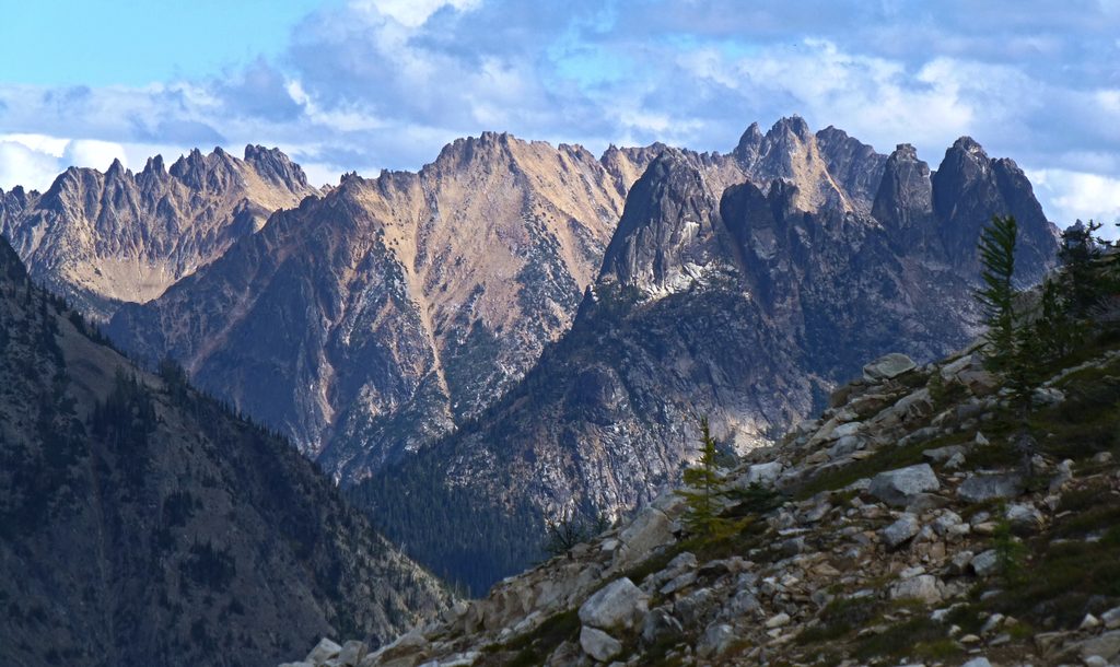
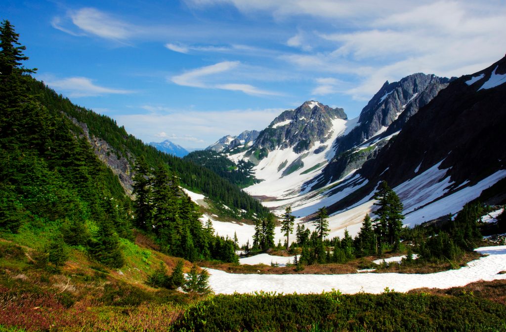
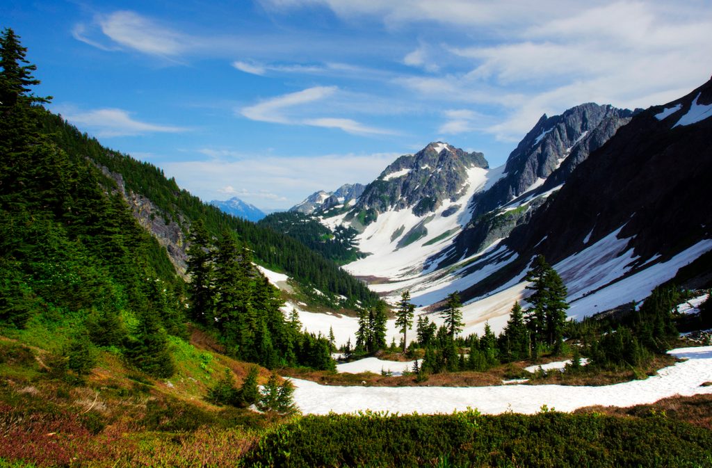
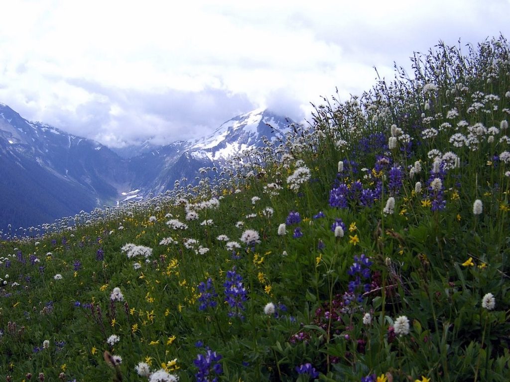
Expect big-mountain payoff near and over Park Creek Pass: subalpine meadows, lingering snowfields well into summer, and views toward glaciated summits like Mount Buckner. On the way, there’s a lot to love in the details—old-growth along glacier-fed creeks, willowy meadows near Five Mile, and a classic hanging-valley drop onto the Park Creek side. Wildflowers can be abundant, and the glacial “rock flour” that colors nearby waters hints at the ice that shaped these valleys.
Wildlife shows up if you move quietly: mountain goats near high passes, marmots and pikas whistling from talus, mule deer browsing trail edges, and songbirds like pine siskins flitting through the subalpine.
This is a challenging route. Grades are mostly moderate but sustained, with steep sections near the pass and a notably stout bit between Park Creek and Two Mile. Expect typical wilderness maintenance windows and conditions—blowdowns are common (especially between Two Mile and Five Mile), brush in spots, and a mix of bridges, logs, and fords for creek crossings. On the Thunder Creek approach, a knee-deep, chilly ford near the upper basin can be a trip-ender in high water. Snow lingers on Park Creek Pass; steep early-season snow often requires an ice axe and the skills to use it. Crowds are unlikely once you’re away from the Cascade Pass side.
Designated camps on the Park Creek side include Five Mile, Two Mile (reduced to a single small site after flooding), and Park Creek Camp at the junction with the Upper Stehekin Valley Trail. On the Thunder Creek side, camps are spaced conveniently every few miles (e.g., Junction, McAllister, Skagit Queen, Thunder Basin). Backcountry permits are required for overnight stays, some camps are small, and stock camping is limited to designated sites. No camping is allowed at Park Creek Pass to protect fragile meadows. Expect bugs in basin camps, scarce tall trees for food hangs in places—bring a canister.
You can tackle Park Creek Trail from two directions:
One-way trips are possible—descend to Stehekin and exit via shuttle, or return over Cascade Pass—but you must plan transport in advance. The road to Cascade Pass can have rougher spots; high-clearance/AWD helps when conditions are marginal.
Aim for late summer to early fall for the smoothest passage—snow finally melts off the pass, meadows dry out, and creek levels drop. Early summer brings steep, lingering snow on the pass and cold fords; south-facing slopes can run hot on clear days. Weekdays see even fewer people, and morning light in the high meadows is stellar for photos before heat and bugs pick up.
West side: park at Colonial Creek Campground (south side) to access Thunder Creek. East side: reach the trail via the Stehekin shuttle to High Bridge; no road access to park a car at the Park Creek end.
Steep, lingering snow on Park Creek Pass often persists into mid-summer; an ice axe may be required. Expect blowdowns and brush, tricky creek crossings (including a knee-deep ford near Thunder Basin in high water), bugs in basin camps, and limited trees for food hangs—use a canister. No camping at the pass. Pets are prohibited within the park on this route.
Place
Place
Place
Place
Challenging
Challenging
Moderate
Challenging

Parkwolf Tour Guide
