
Place
Challenging
Twisp Pass is a classic North Cascades walk with big variety: river-bottom forest, avalanche chutes, a pretty lake, and a broad, view-soaked pass. From the west (inside the park) it’s a long out-and-back that rewards the effort with quieter miles and standout autumn color. Expect about 16.6 miles total (out and back) via the Bridge Creek corridor with a connector stretch on the PCT and a side trip past Dagger Lake. This is a full-day hike for most, and it feels remote—in a good way.
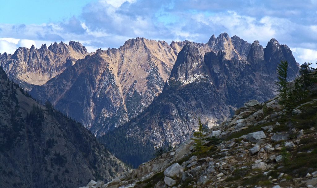
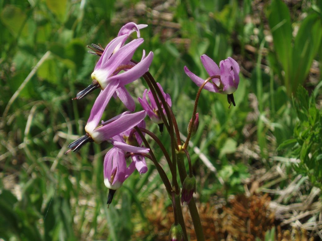
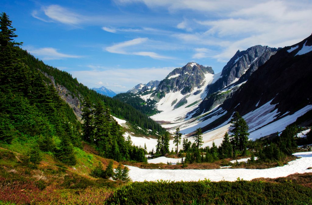
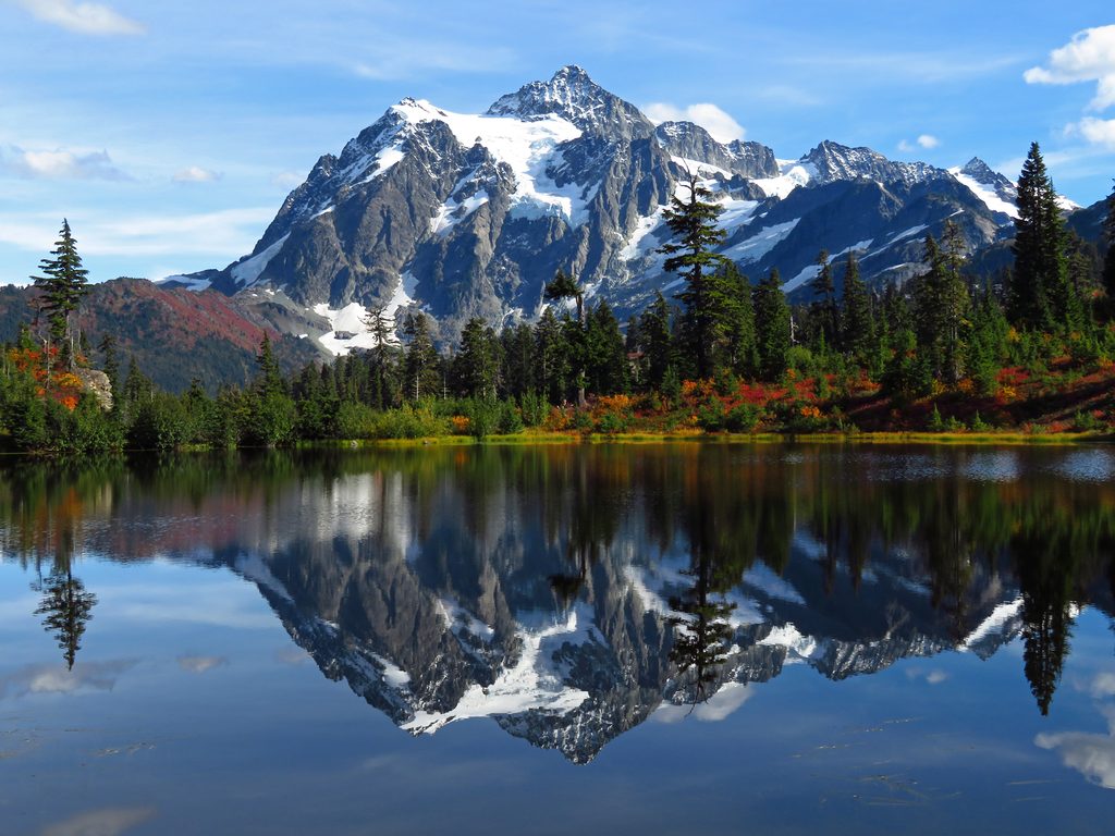
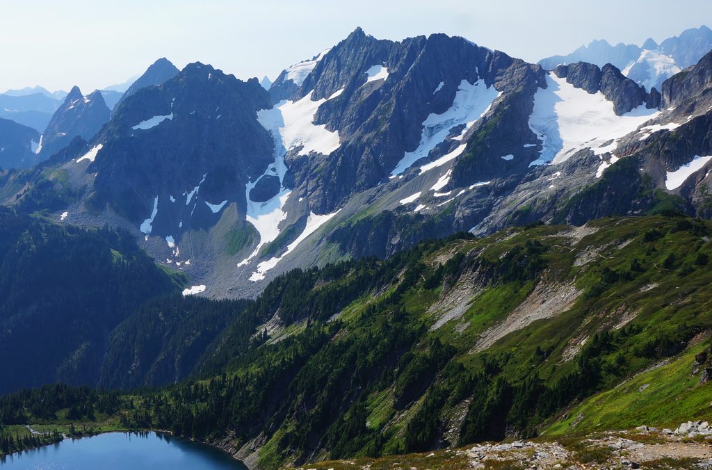
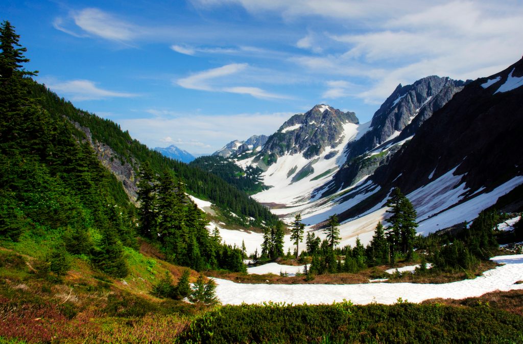
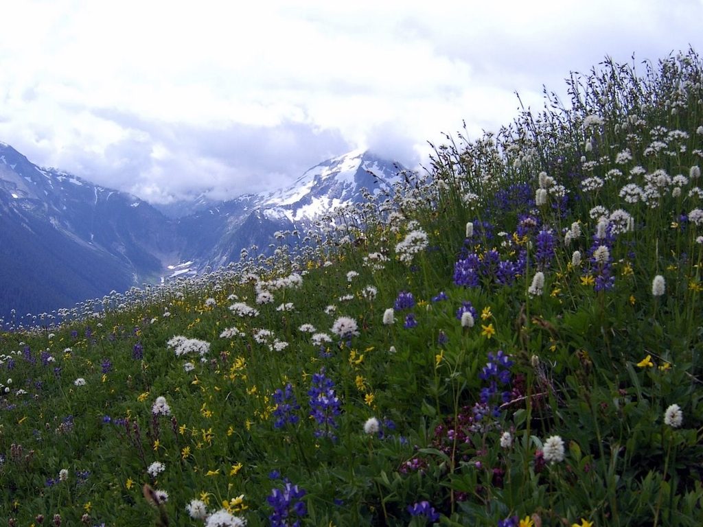
Expect classic North Cascades textures: granite outcrops, stunted hemlocks and wildflower meadows near the crest, and a shallow, photogenic Dagger Lake tucked against rugged peaks. In fall, the color show is real—golden larches, red blueberry, orange mountain ash, and yellow maples. From the pass, broad views range to Lincoln Butte and Twisp Mountain with room to roam and linger.
This is a long day from the west, with an early descent to the valley before the main climb—remember you’ll pay that back on the return. Tread is generally good but can be rocky and brushy. The avalanche debris field and chutes on the west side slow travel, and single-log bridges demand attention. The pass itself is gentle and inviting—bring a wind layer and plan time to enjoy it.
Water is available near major creeks and at Dagger Lake, but plan ahead: carry capacity for the longer, drier stretches, and prioritize flowing sources when possible. Mid-summer mosquitoes can be fierce, especially near Dagger Lake—long sleeves and real repellent help. Backcountry permits are required for any overnight stay within the park. Campfires are not allowed at Stiletto Lake, and Stiletto is closed to stock.
A federal recreation pass is required to park at the primary trailheads used to access this route. Pets and hunting are not allowed within the national park; Twisp Pass effectively marks the boundary from the east. Overnight trips require a park backcountry permit; designated sites near Dagger Lake are limited.
June through October is the typical window. Early summer brings flowers and lingering snow patches; midsummer is green and buggy; late September into early October is prime for larches and vivid shrubs. Start early for cooler temps, easier parking, and forgiving light in the avalanche chutes. Weekdays and shoulder-season days see the fewest people.
If you’re up for the mileage, the west-side approach delivers a rich sampler of the North Cascades—quiet miles, a jewel of a lake, and a pass you won’t want to leave. Want shorter? Approach from Twisp River Road—but remember the no-pets rule inside the park if you plan to cross the boundary.
Two options: (1) West approach inside the park from SR 20 at the Bridge Creek area (signed parking on the north side of the highway with a short connector to the PCT); (2) East approach from Twisp River Road with parking signed about 0.4 miles before Road’s End Campground. A federal recreation pass is required at both.
Single-log bridge crossings; brushy avalanche chutes and a major debris field on the west side; sections of narrow, rocky, and eroded tread; heavy mosquitoes in midsummer; no pets within the park; backcountry permit required for overnight; no campfires at Stiletto Lake.
Place
Place
Place
Place
Challenging
Challenging
Moderate
Challenging

Parkwolf Tour Guide
