
Place · 0.2 mi away
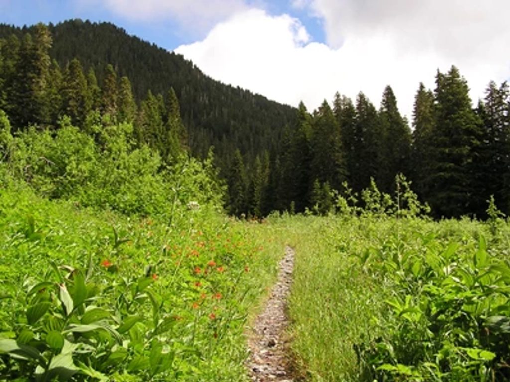
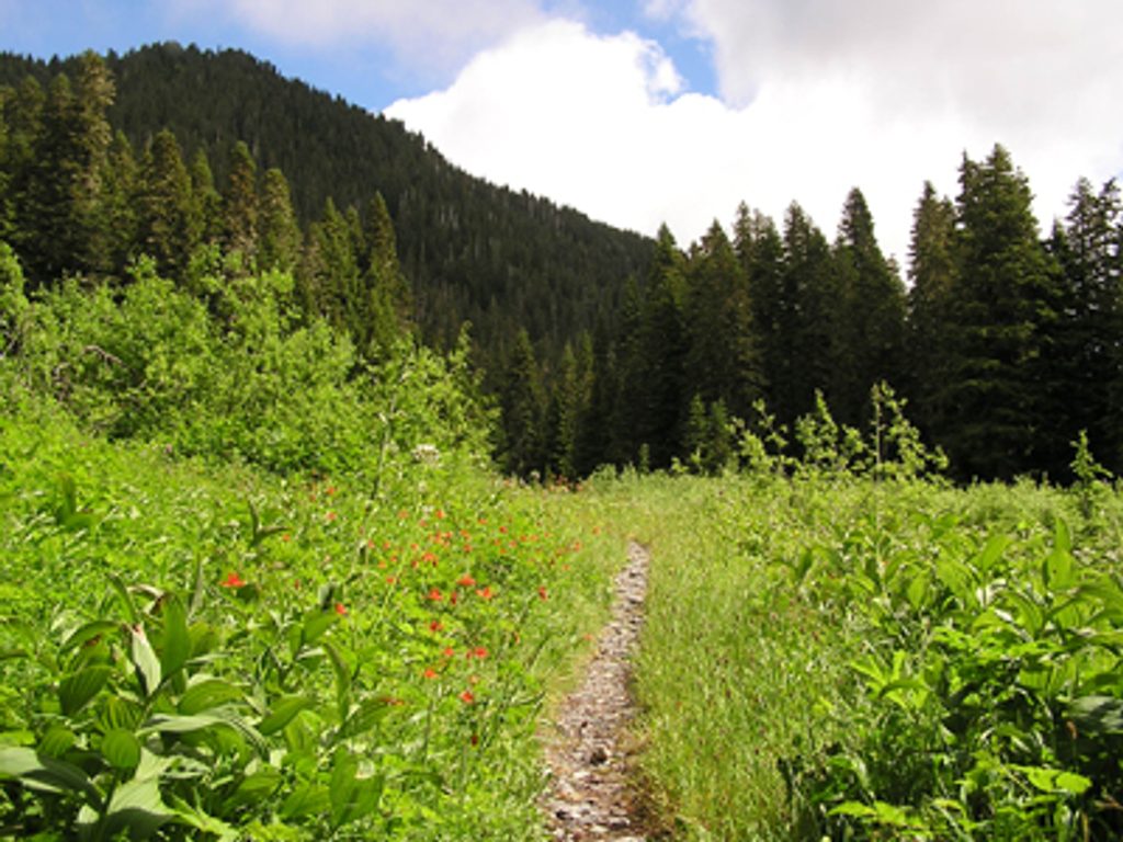
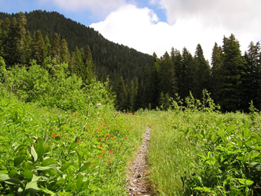
Low Divide is a remote, forested saddle linking the Elwha and North Fork Quinault valleys. It’s a true Olympic wilderness crossroads: meadows, a couple of small lakes (Lake Margaret and Lake Mary), and a historic ranger cabin that’s sometimes staffed in summer. Expect big solitude and that deep‑in‑the‑backcountry feeling.
This is the hub that ties together major routes across the park—North Fork Quinault, Elwha, and Skyline. The setting mixes quiet lakes and open meadow patches with long valley views, and it carries the history of a classic cross‑peninsula gateway.
There’s no road access; you earn it. Most people hike in from the North Fork Quinault (about 16 miles, with steady elevation gain and potential creek fords near the top) or from the Elwha side via Whiskey Bend and Chicago Camp. Note that the Elwha road to Whiskey Bend has been closed at times, which can add a 6.2‑mile walk or bike to reach the trailhead.
Low Divide has designated backcountry sites near the ranger cabin, plus a couple more a short walk away. There’s a pit toilet and bear wires for food storage. Water is plentiful from nearby lakes and streams—treat before drinking. Camping at the lakes themselves is not allowed.
The approach is long and remote. Expect unbridged creek crossings (especially on the Quinault side near the divide), overgrown sections, and variable trail conditions. Mosquitoes can be fierce in early to mid‑summer. Carry full wilderness kit: map/GPS, rain layers, water treatment, and food storage for bears.
Late summer into early fall typically offers lower water for safer fords and fewer bugs. Weekdays amplify the solitude. Dawn and dusk bring calm light around the lakes for photos, but there are no facilities or hours—plan your itinerary around the long approach and daylight.
Place · 0.2 mi away
Place · 5.3 mi away
Place · 8.2 mi away
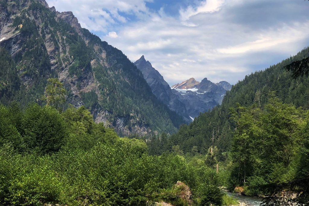
Place · 8.4 mi away
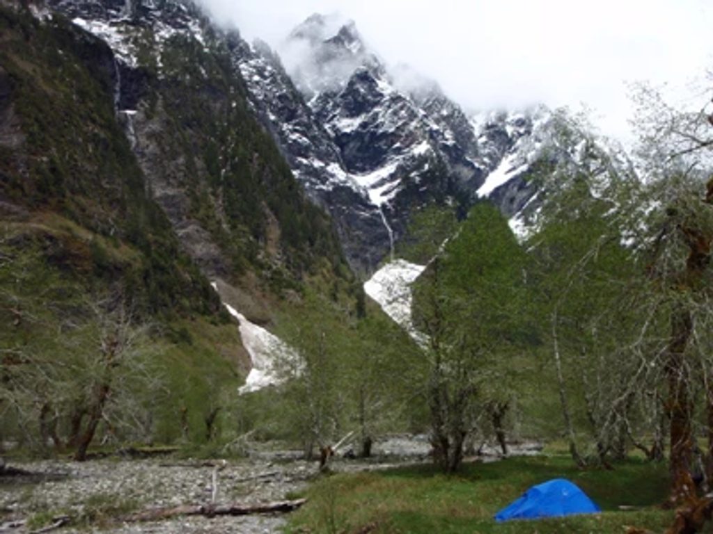
Moderate · 10.4 mi away
Challenging · 10.4 mi away
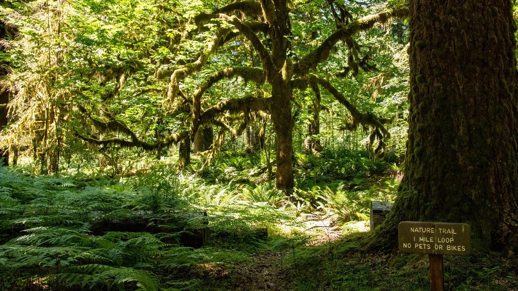
Easy · 10.4 mi away
Moderate · 11.2 mi away

Parkwolf Tour Guide
