
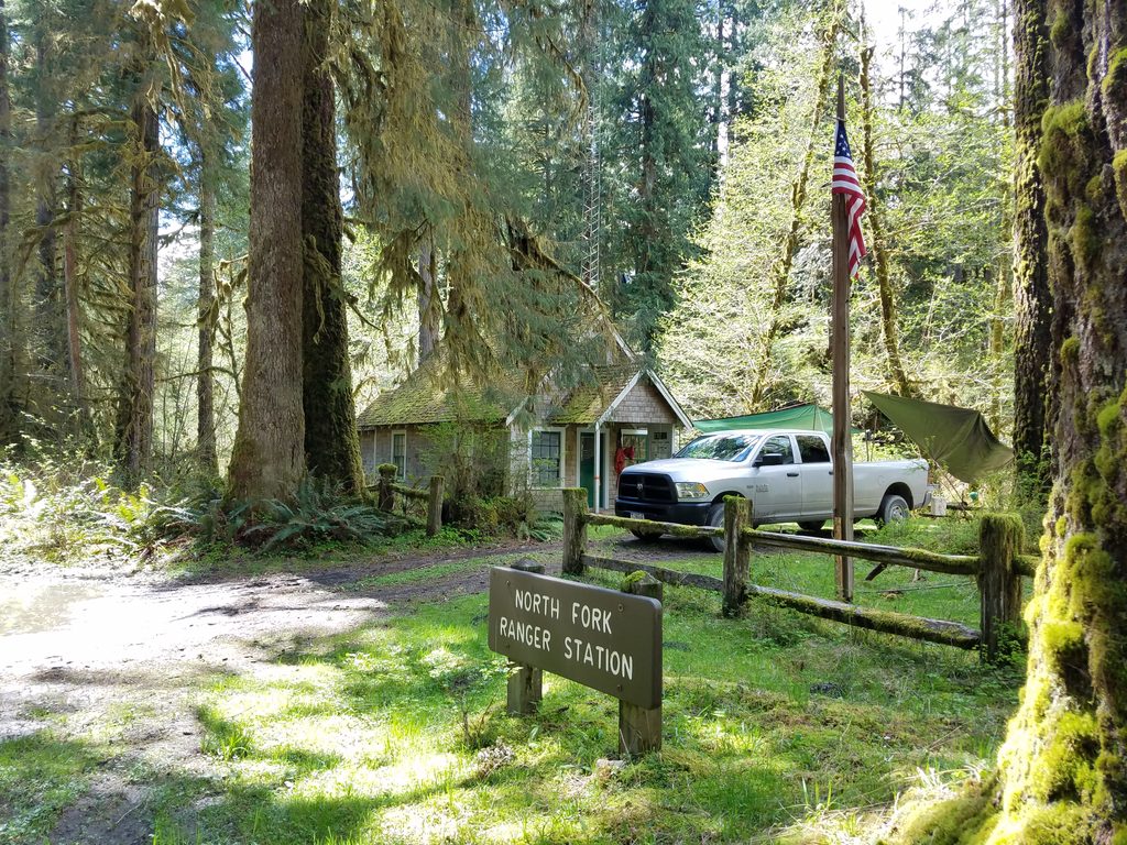
Place · 0 mi away
Moderate
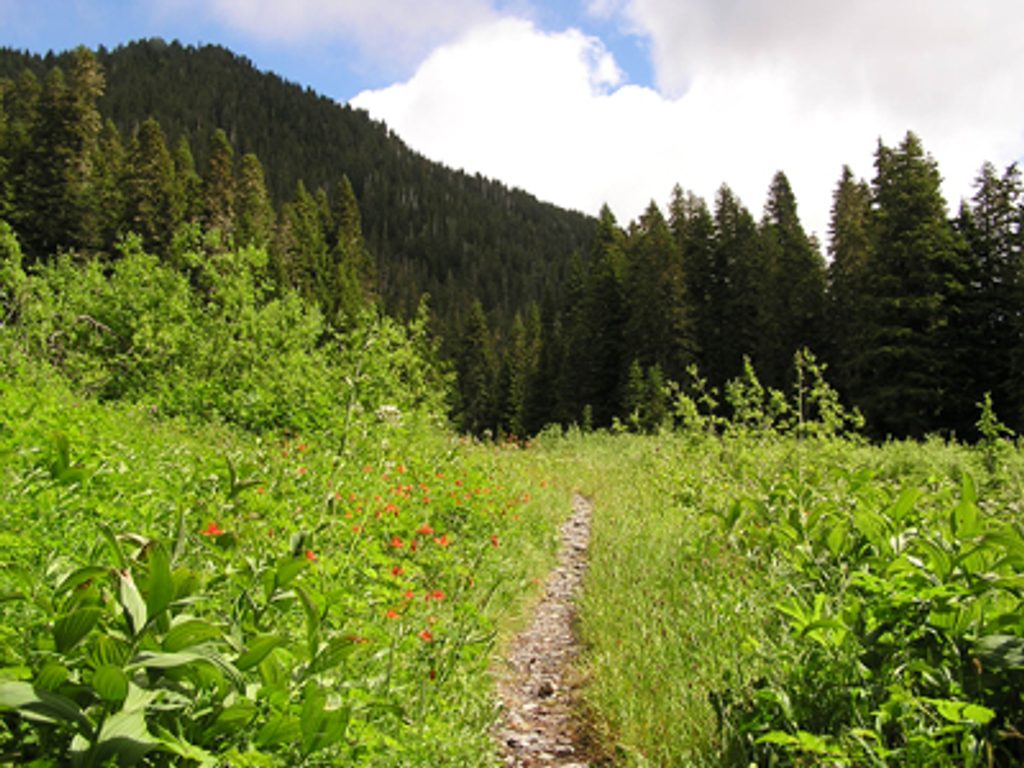
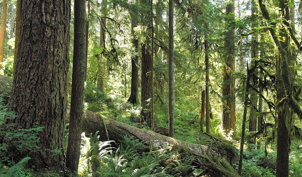
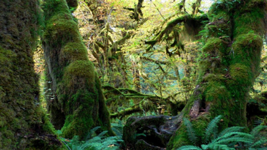
A classic Olympic rainforest river walk that grows wilder the farther you go. From the North Fork Trailhead to Low Divide is 16 miles one way, climbing from roughly 519 feet to 3,602 feet. Expect a maintained but natural tread—roots, rocks, a few cutbanks—and a corridor of giant Douglas‑fir, Sitka spruce, western redcedar, and hemlock draped in moss and ferns.
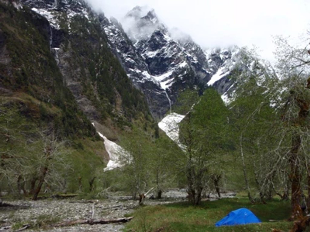
The trail closely shadows the North Fork Quinault River with constant rainforest ambiance, side streams, and occasional cascades. Feeder creeks like Wild Rose Creek and Elip Creek are scenic—and unbridged—so you’ll get your feet wet. Wildlife is very much at home here; Roosevelt elk and American black bears are sometimes seen. Views are mostly forested with a few mountain peeks; this one is about immersion more than big vistas.
This is backcountry. Multiple unbridged fords (notably Wild Rose Creek, Elip Creek, and at “16‑Mile”) can be hazardous or flat‑out impassable during heavy rain or snowmelt. Upper sections can hold snow into late June. The trail is generally well maintained but expect roots, rocks, and possible downfall. Check the park’s current wilderness trail conditions before you go, and be ready to turn around if a crossing isn’t safe.
Backcountry camps exist at Halfway House and Elip Creek; a wilderness permit is required for any overnight. Store food properly and be bear aware. Trekking poles and water shoes/sandals make fords safer; keep dry socks in a bag. Navigation is straightforward on the main corridor, but bring a map/GPS if you’re extending to Skyline or Three Lakes. Stock use is allowed per park regulations.
May through September is the sweet spot. Expect lingering snow high up until late June, and plan fords for lower‑flow periods—late summer is friendliest. Mosquitoes and biting insects ramp up in late spring and summer; pack repellent. Weekdays see fewer people, and overcast mornings give great soft rainforest light. If you want rainforest with fewer crowds than the Hoh corridor, this is a strong pick.
Park at the North Fork Quinault River Trailhead at the end of North Fork Road along the North Fork Quinault River.
Mandatory unbridged fords at Wild Rose Creek, Elip Creek, and near 16‑Mile can become hazardous or impassable in high water; upper trail may hold snow into late June. Check current wilderness trail conditions, carry poles and ford footwear, and be prepared to turn around.
Place · 0 mi away
Place · 0.4 mi away
Place · 3.3 mi away
Place · 3.7 mi away
Challenging · 0 mi away
Challenging · 0.7 mi away
Easy · 0.7 mi away
Moderate · 3.7 mi away

Parkwolf Tour Guide
