
Place · 0.1 mi away
Moderate
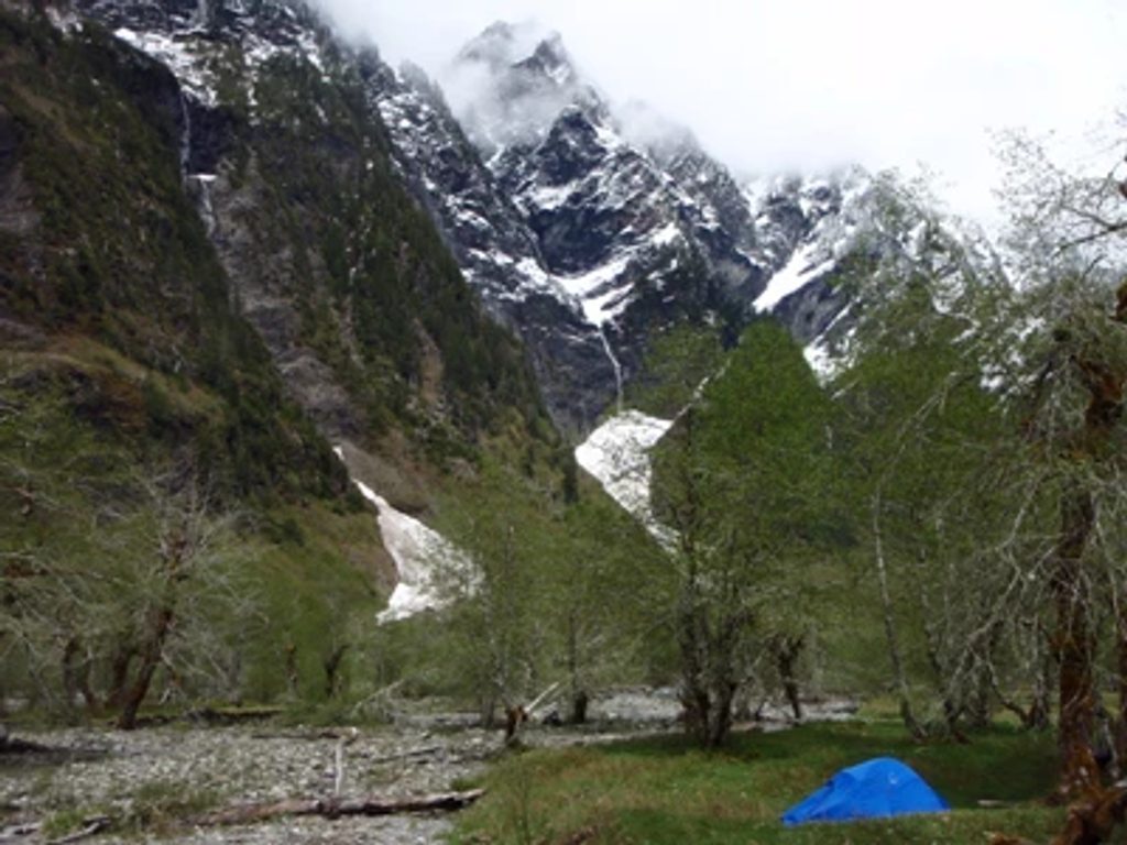
If you want the Olympic rainforest greatest hits—towering old growth, moss-draped corridors, a jade river, and a big-money finale—this is your move. The East Fork Quinault River Trail runs from Graves Creek to Enchanted Valley, where sheer, glacially carved walls leak waterfalls in late spring and early summer and a historic 1931 chalet sits in the meadow like a movie prop.
It’s 13 miles one way (about 26 miles total) from Graves Creek to Enchanted Valley, with roughly 1,700 feet of gain. Most hikers make it a 2–3 day backpack; strong day hikers can do a long out-and-back, but it’s a haul. Expect a short initial climb, a descent to the dramatic Pony Bridge gorge, then a mostly steady, mellow grade up-valley.
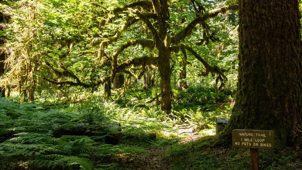
This is classic temperate rainforest: Douglas-fir, western hemlock, Sitka spruce, and a carpet of ferns. The trail shadows the blue-green East Fork Quinault with frequent side streams and falls. Enchanted Valley itself is a broad, U-shaped glacial valley—flat meadows below, cliffy walls above—nicknamed the “Valley of 10,000 Waterfalls” in spring. Wildlife is common: Roosevelt elk and black bears are regularly spotted, especially near the valley.
Well-spaced wilderness camps (like Pony Bridge, O’Neil Creek, and Enchanted Valley) make the mileage manageable. Wilderness permits are required for all overnights, and the park runs a quota system for Enchanted Valley—reserve ahead via Recreation.gov. Bears are active; proper food storage is mandatory (bear canisters strongly recommended).
Trail crews keep this corridor in good shape, with bridges over major crossings, but expect mud after rain and some smaller, splashy creek fords. If you push above Enchanted Valley toward the passes, know that White Creek (around mile 16) can be hazardous or impassable in high water. Best window is May–September. Late spring to early summer brings peak waterfalls and fresh greenery; summer offers longer, more stable weather but more people. Weekdays beat weekends for solitude.
Long but rewarding. If you’re up for the mileage, the rainforest-to-valley reveal is one of the south side’s signature experiences. Pack real rain gear, plan your camps, and savor the river’s rhythm. If you want something shorter with similar vibes, consider turning around at Pony Bridge for a fantastic day taste of the gorge.
Park at Graves Creek Trailhead (end of South Shore/Graves Creek Road). The final approach is unpaved but typically passable for most vehicles.
Bears are common in Enchanted Valley—use proper food storage. Expect mud and slick roots after rain and a few small creek crossings that require care. Beyond Enchanted Valley, White Creek can be impassable during high water. Check current road and trail conditions and secure required overnight permits before you go.
Place · 0.1 mi away
Place · 0.4 mi away
Place · 3.7 mi away
Place · 3.9 mi away
Challenging · 0 mi away
Easy · 0 mi away
Moderate · 3.7 mi away
Challenging · 3.7 mi away

Parkwolf Tour Guide
