Pros & cons
PROS
- Second-highest Olympic peak with sweeping summit views
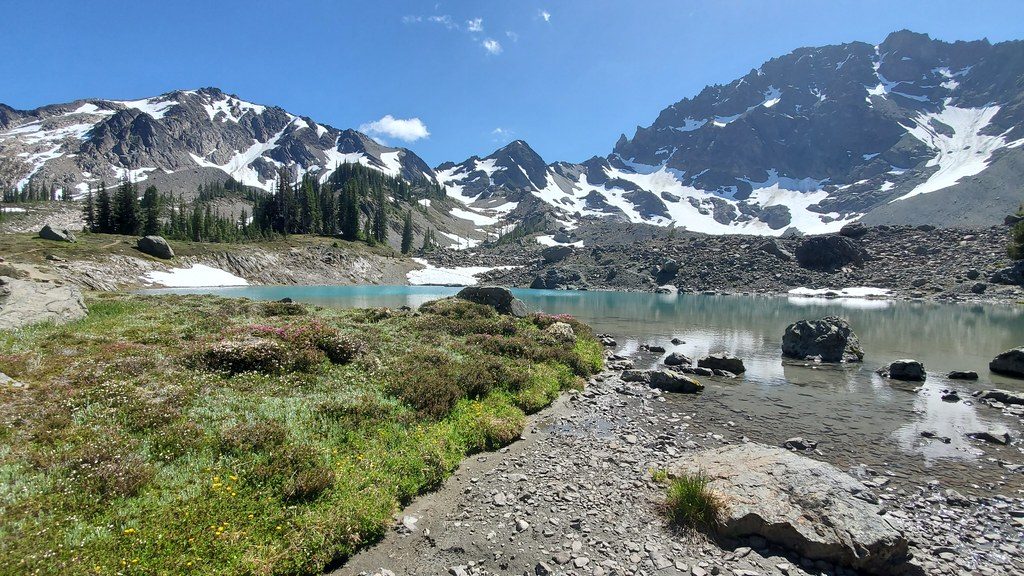
- Spectacular Royal Basin approach with alpine lakes and meadows
- Far fewer climbers than Mount Olympus
CONS
- Loose, unstable rock after snowmelt makes the climb hazardous
- Long, strenuous approach with route-finding on rocky ridges
Overview
Mount Deception rises to 7,788 feet, looming over Royal Basin and drawing experienced climbers who want a high, wild summit without the crowds. The approach is gorgeous—think meadows, tarns, and dramatic rock walls—while the climb itself is serious and often described as more “statistically significant” than fun.
Why it’s unique
- Second-highest peak in the Olympic Mountains, with big, unobstructed views across neighboring summits.
- Sits in a relative rain shadow, so conditions can be drier than elsewhere in the range.
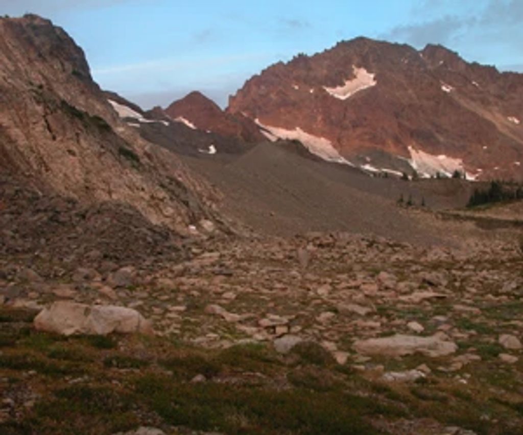
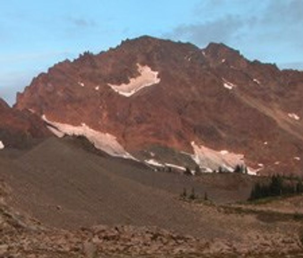
- Its pillow-lava geology means notoriously poor rock quality; a small glacier remnant lingers on the northwest face and is crossed on standard routes.
Route and terrain
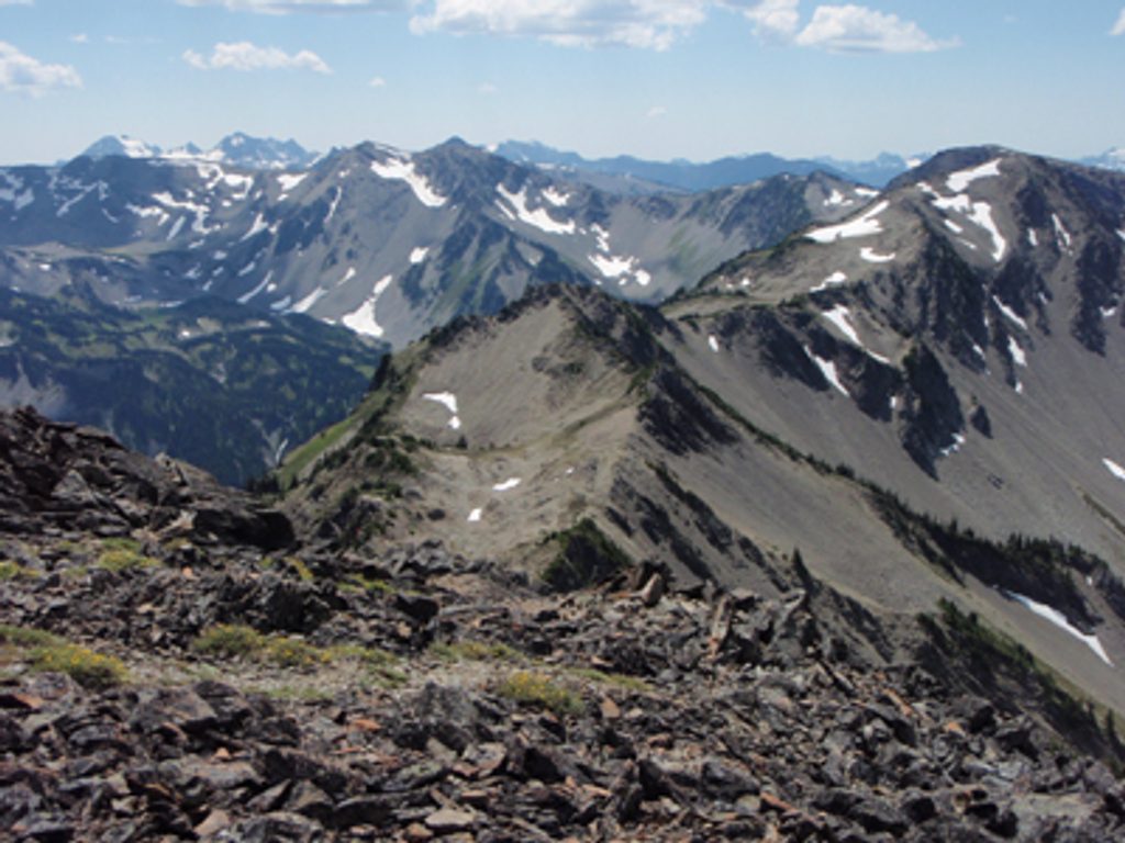
Most parties come in via the Royal Basin Trail to Upper Royal Basin, then continue over moraines and snowfields to the summit. Expect hands-on scrambling, branching gullies near the top, and loose rock where snow has melted. A steeper alternative via Honeymoon Basin exists. Rope isn’t typically needed for the standard line, but the combination of steep snow and choss demands solid mountaineering judgment.
What you’ll see
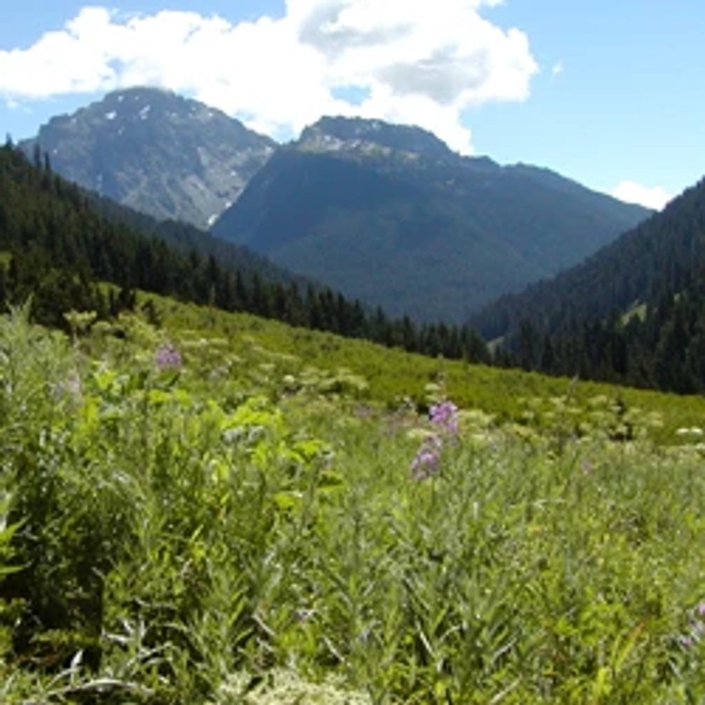
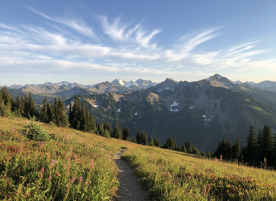
From the top: wide-open views over the Olympic Peninsula and the rugged Deception group. Along the way: turquoise tarns, lingering snowfields well into summer, and the famous Shelter Rock in Royal Basin. In melt season, upper meadows can light up with wildflowers.
Wildlife
Keep an eye out for mountain goats, marmots, blue grouse, and deer—especially around the basin in the early morning or evening.
Safety and gear
This climb has a history of rockfall and accidents. A helmet is essential. When snow covers the choss (late spring to early summer), the route is safer and often more enjoyable; once the snow is gone, it becomes a hazardous loose-rock slog. Bring ice axe, crampons, mountaineering boots, and a solid navigation plan. Turn around if visibility tanks.
Logistics
- Access is via the Royal Basin trail; most climbers make it an overnight and camp in Royal Basin. Backcountry permits are required for those sites.
- Expect a long day even with a camp. The mountain itself has no facilities—no water taps, toilets, or signage.
Best time to visit
Late spring through early summer, when consolidated snow still blankets the upper mountain. Start early for firm snow and clearer skies. Weekdays see fewer people in Royal Basin, and early or late light brings the best photography across the basin and summit ridgelines.
Where it is
47.8131, -123.2335Tips for Mount Deception
- 01Aim for late spring or early summer when snow still covers the choss.
- 02Pack ice axe, crampons, helmet, and mountaineering boots—this is not a hike.
- 03If camping, secure Royal Basin backcountry permits in advance.
- 04Bring a GPX and be ready to backtrack; gullies near the summit can be confusing.
- 05Use a peak-specific weather forecast and turn around if clouds sock in the route.
Near Mount Deception
All places →All trails →
1.5 mi awayRoyal BasinA crown-jewel alpine cirque of wildflowers, tarns, and towering peaksRestroom · Campground
1.7 mi awayRoyal LakeRemote alpine lake and gateway to rugged Royal BasinRestroom · Campground
6.1 mi awayDosewallips CampgroundRemote, riverside walk-in campground on the old Dosewallips RoadCampground · Restroom
6.3 mi awayRoyal Basin TrailOlympics’ classic alpine basin: big miles, bigger payoffChallenging · 16 mi · 10 hr
7.1 mi awayThree Forks ShelterRustic 1930s backcountry shelter at a roaring creek confluenceRestroom · Campground
9.6 mi awayDeer Park TrailHigh ridge meadows, wildflowers, and big Olympic panoramasChallenging · 7.4 mi · 6 hr
9.6 mi awayGrand Creek TrailBig views from Deer Park, then a quiet plunge into Grand Creek.Challenging · 7.5 mi · 5 hr
9.6 mi awayThree Forks TrailAlpine-to-rainforest plunge to a mossy river confluence and campChallenging · 8.5 mi · 5.8 hr