
Place · 0 mi away
Challenging
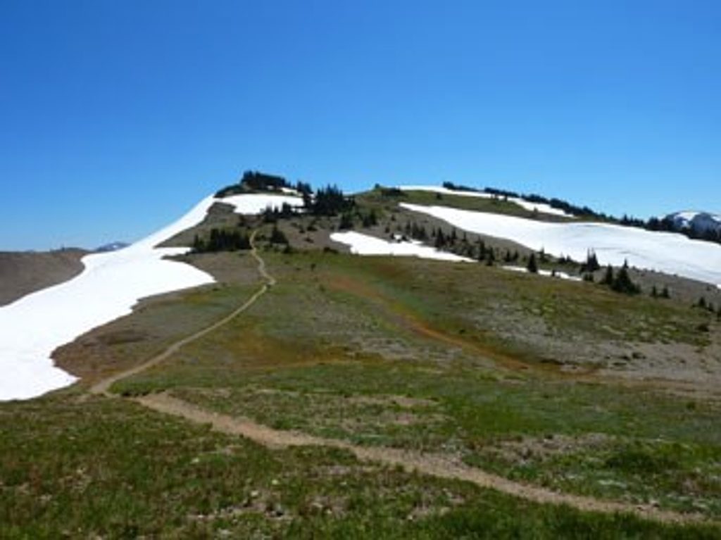
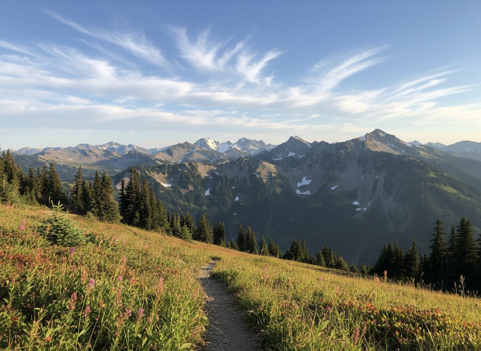
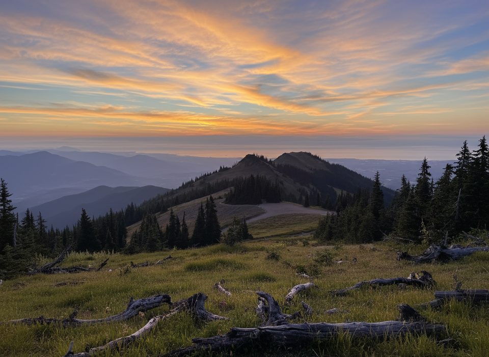
If you want alpine scenery without the Hurricane Ridge crowds, this high, open ridge walk from Deer Park delivers. You’re in subalpine meadows almost immediately, with sweeping views across the Olympics, patches of evergreen forest, and a real sense of space. It’s classic high country—glaciated ridges, thin rocky soils, and in-season wildflowers—without feeling overrun.
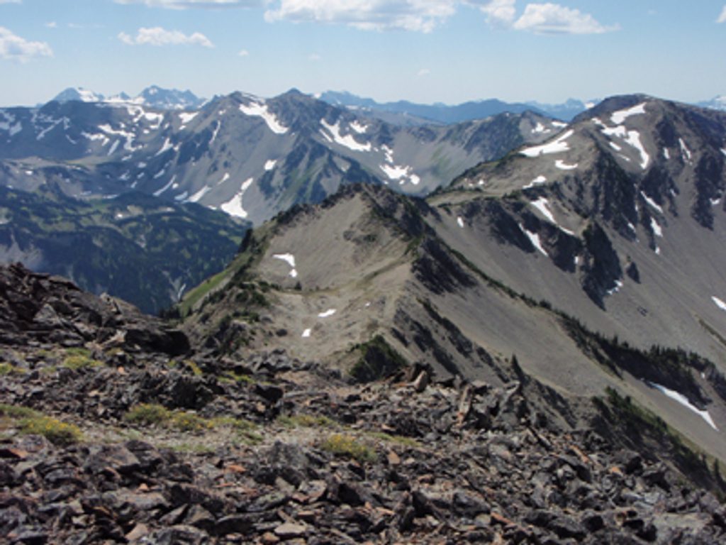
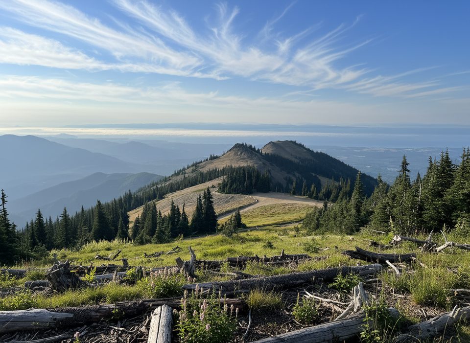
The main traverse from Deer Park to Obstruction Point is about 7.4 miles one way, with roughly 2,423 feet of total gain. It starts around 5,300 feet by the Deer Park Ranger Station, briefly dips, then rolls and climbs along the ridge beneath Blue and Green Mountains. Expect rugged singletrack with some narrow, exposed sections and a stretch of burnt forest visible on the south side of the trail. Water is scarce along the ridge—plan to carry what you need.
You can sample as much or as little as you like. A popular objective is Maiden Peak (about 7.2 miles round trip from Deer Park, ~2,100 feet of gain). Strong hikers push farther toward Obstruction Point, or branch to Elk Mountain (5.5 miles one way, 2,249 feet of gain). There’s also a strenuous descent from the ridge to Three Forks and the Gray Wolf River (about 4.3 miles with 3,416 feet of loss)—beautiful, but a knee-buster on the return.
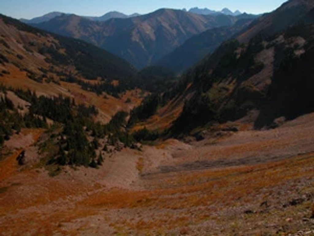
This ridge sits in a partial rain shadow, so it’s often drier and sunnier than lower elevations. Mid-to-late summer brings bunchgrass slopes and wildflower displays; in fall the meadows and shrubs flare red and gold. Look for glacially carved valleys and the Olympics’ metamorphic rock underfoot as you move between open meadows and pockets of subalpine forest.
July through September is prime: snow is mostly gone, wildflowers pop, and the road is typically open. Early summer can bring rhododendron blooms lower on the ridge, but access often doesn’t begin until late June or even July depending on snow. Autumn offers terrific color and clear air. Go early in the day for softer light and to keep temps manageable on the exposed sections.
Deer Park Road is steep, narrow, and unpaved for miles, and usually opens only late June through October. Weather flips fast on this ridge—carry layers and rain protection even on bluebird mornings. Water is limited; don’t count on seasonal trickles late in the year. Crowds are typically low compared to Hurricane Ridge, which is part of the appeal.
Park at the end of Deer Park Road by the Deer Park Ranger Station/Deer Park Campground. The access road is steep, narrow, and gravel for several miles; it typically opens late June–October. Parking is generally easier than at Hurricane Ridge.
Exposed, narrow ridge sections with rapid weather changes; limited water. Steep, narrow, unpaved access road with a short seasonal window.
Place · 0 mi away
Place · 0.3 mi away
Place · 0.4 mi away
Place · 2.5 mi away
Challenging · 0 mi away
Challenging · 0 mi away
Easy · 0.5 mi away
Easy · 0.5 mi away

Parkwolf Tour Guide
